

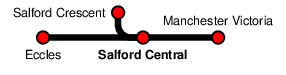
Salford Central
| CRS Code | SFD |
| Collected date | 17/09/16 |
Salford Central sits close to the centre of Manchester, currently only on the line between Manchester Victoria and Salford Crescent. However, there are a pair of disused platforms which Network Rail plan to reopen in the future.
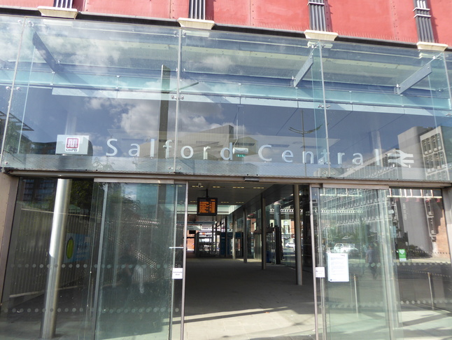
The entrance to the station is via a glass fronted concourse under the railway bridge over New Bridge Street. Here's the southern entrance to the concourse:
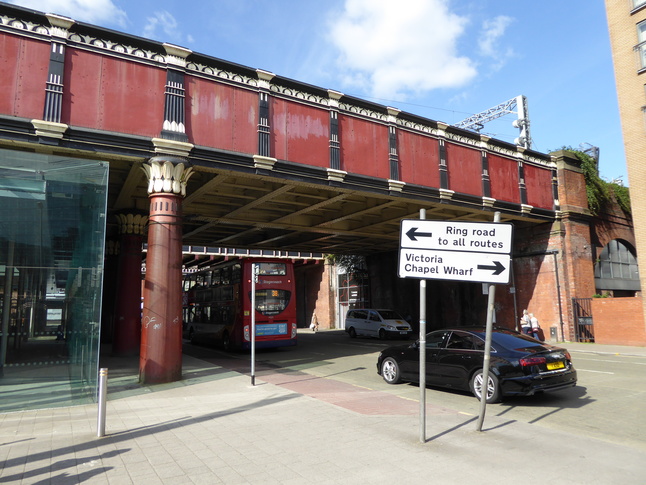
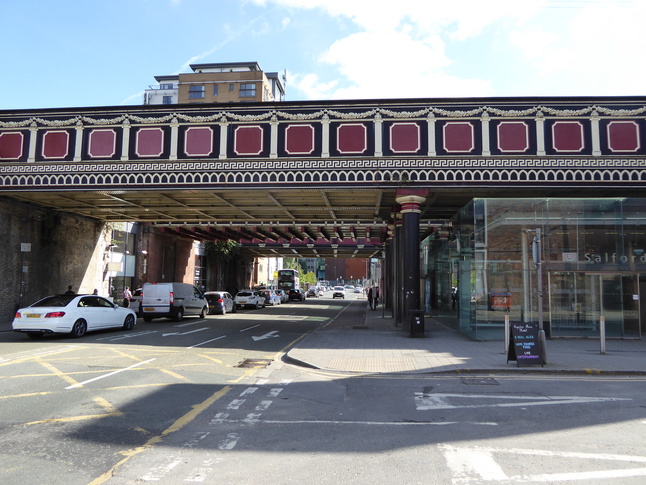
A view of the glass atrium in the context of the bridge:
The northern side of the railway bridge with the entrance to the atrium on the right:
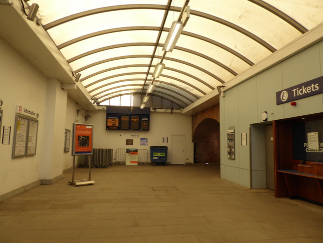
Inside the glass atrium:
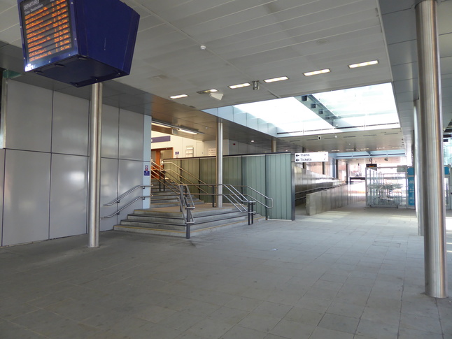
The steps and ramp lead to this ticket hall and (beyond on the right) to the platforms:
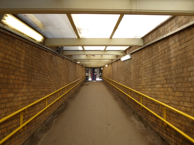
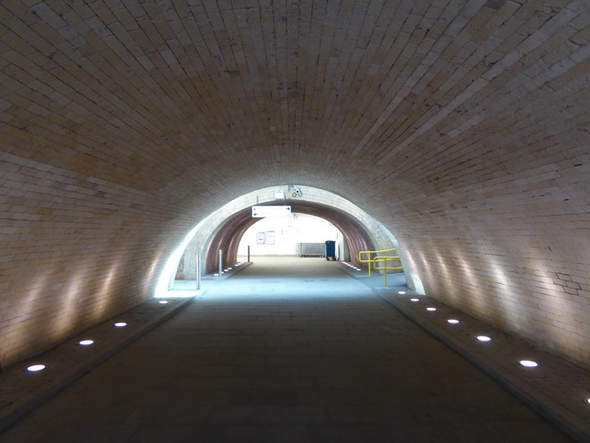
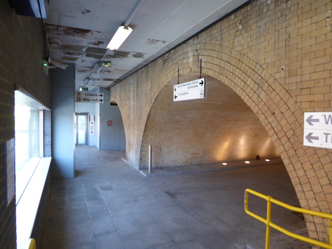
The round entrance on the right of the previous shot leads to a subway which connects the platforms. From this subway is a ramp up to platform 2:
Up on platform 2 under the canopy:

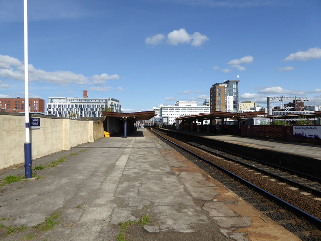
Looking east along the line from platform 2:
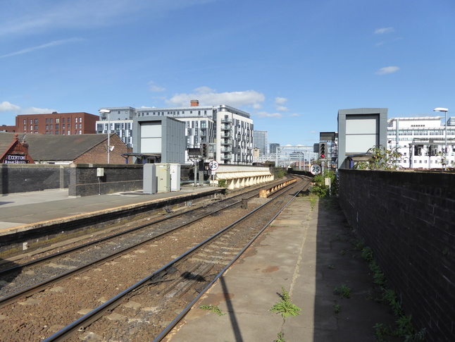
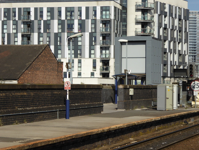
At the western end of platform 2 looking west:
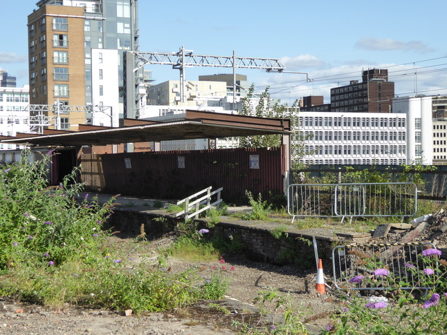
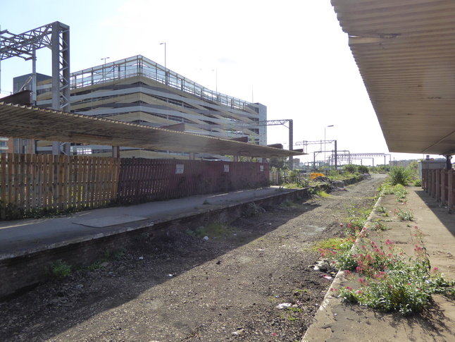
A fence separates platform 2 from disused platforms:
Beyond a disused trackbed is the disused former platform 4:
Looking west along the former platform 3:
Walking back down platform 2 but avoiding the ramp down to the subway:
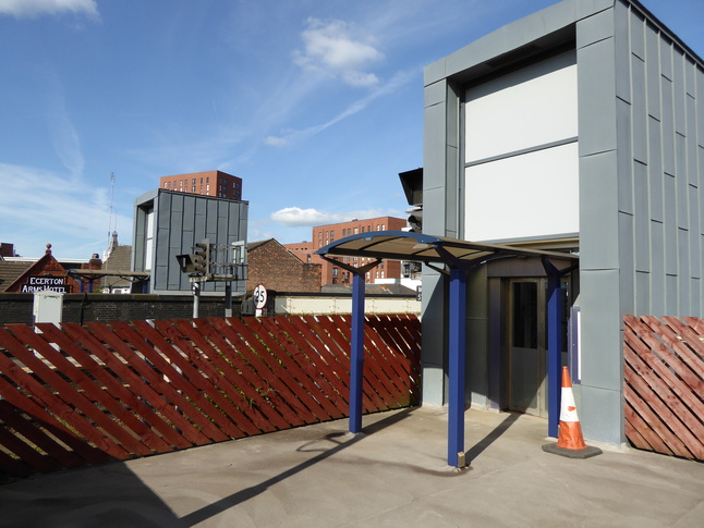
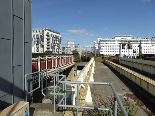
At the far end beyond the ramp is the lift down to the new glass concourse:
Turning round we can see the roof of the ramp up to platform 2:
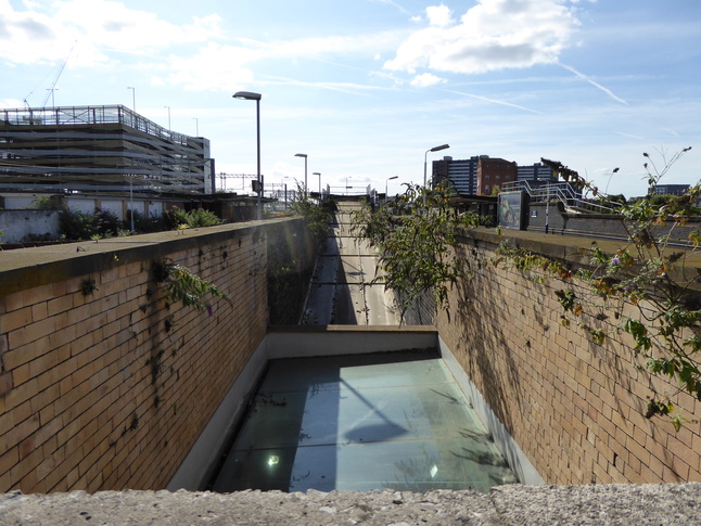
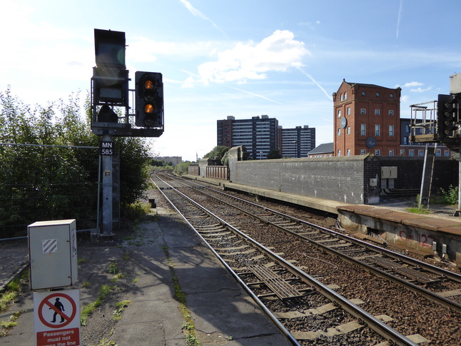
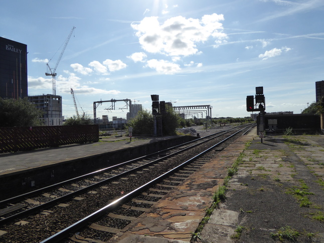
And further to the left is the disused trackbed looking back west:
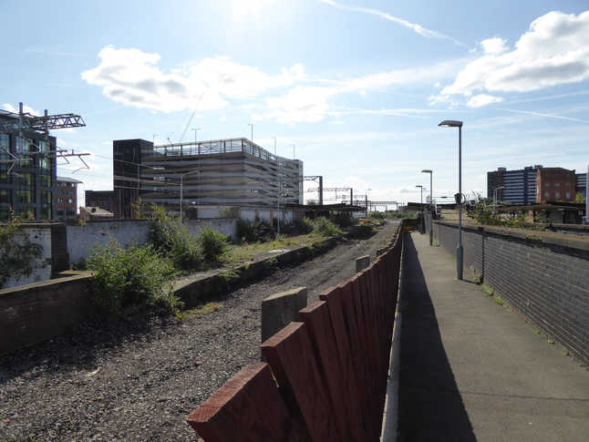
Looking east along the disused trackbed as it crosses the road below:
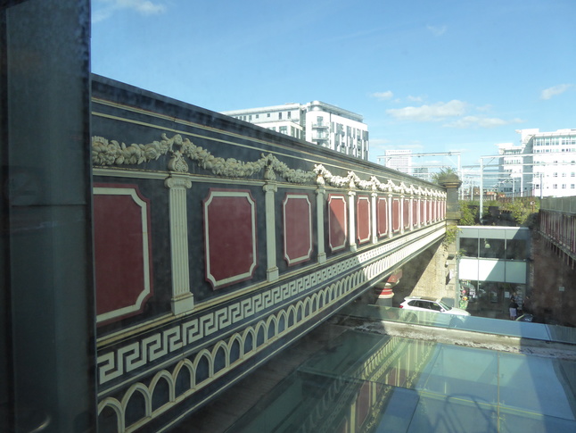
Inside the bridge we can see a bit more detail of the decorated bridge on the left:
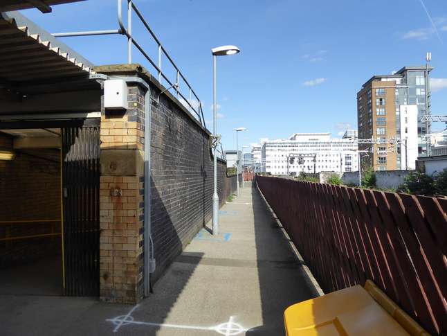
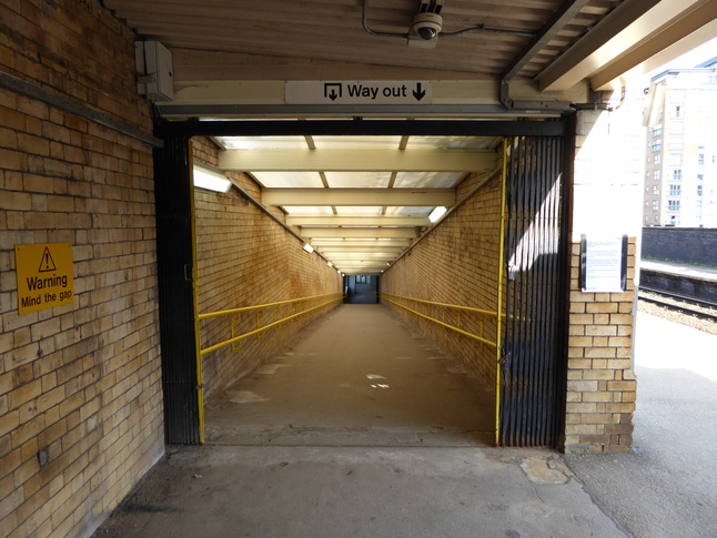
Back down to the underpass, we look from the platform 1 end towards the centre for platform 2 and the far distance for the ticket hall:
The platform 1 end of the underpass with the ramp up to the platform behind us:
Up the top of the ramp:
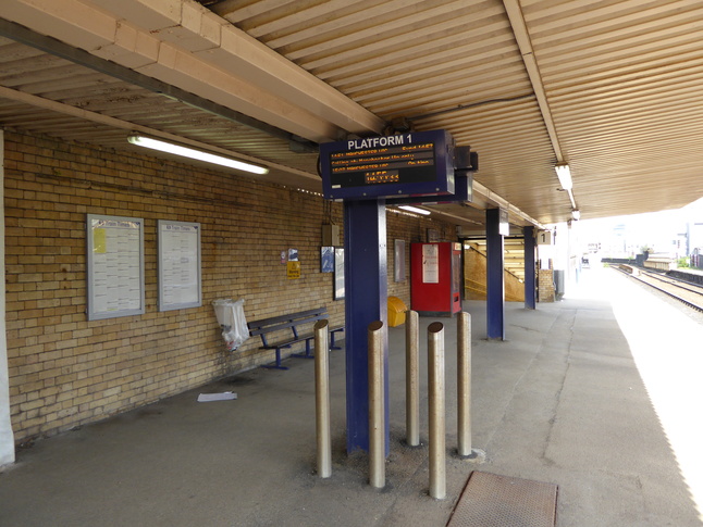
Under the canopy on platform 1:
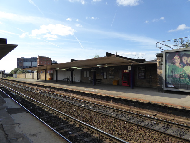
Platform 1 seen from platform 2:
The eastern end of platform 1 and its lift:
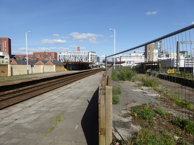
Looking west from platform 1:
Looking back from the western end of platform 1:
All photographs are © Alexandra Lanes You may reproduce them anywhere for any purpose. Coastline maps are reproduced from Ordnance Survey map data by permission of the Ordnance Survey © Crown copyright 2001