

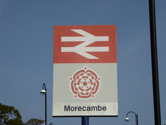
Morecambe
| CRS Code | MCM |
| Collected date | 10/09/14 |
Morecambe's current station dates from as recently as 1995, when the station was moved from its original seafront location to the current site, a little further inland and closer to the rest of the town. Fortunately the old station buildings still survive.
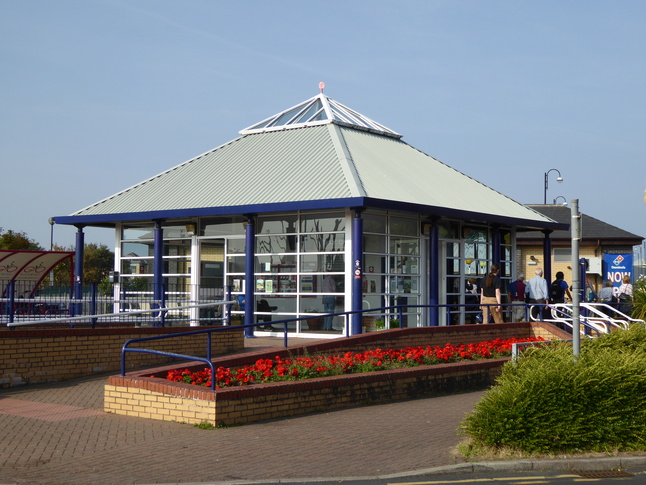
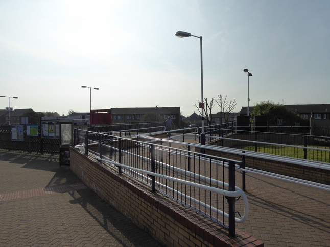
The modern station is just a terminus, with two platform edges either side of an island, and a station building at the end. The station building seen from the road to the north of the line, with a ramp leading to the platforms on the left:
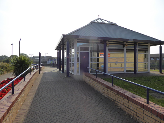
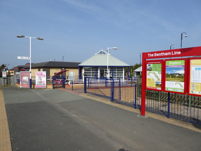
The rear of the station building:
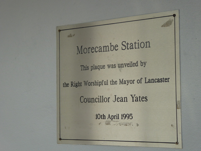
Just inside the station building is a plaque marking the new station's opening:
The ramp leading to the platform, with the station building just to the right of this photo:
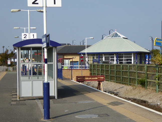
The ramp passes the end of platform 1:
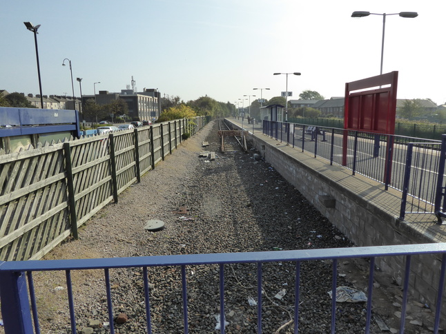
With the end of platform 1's trackbed on the right, looking back at the ramp and the station building:
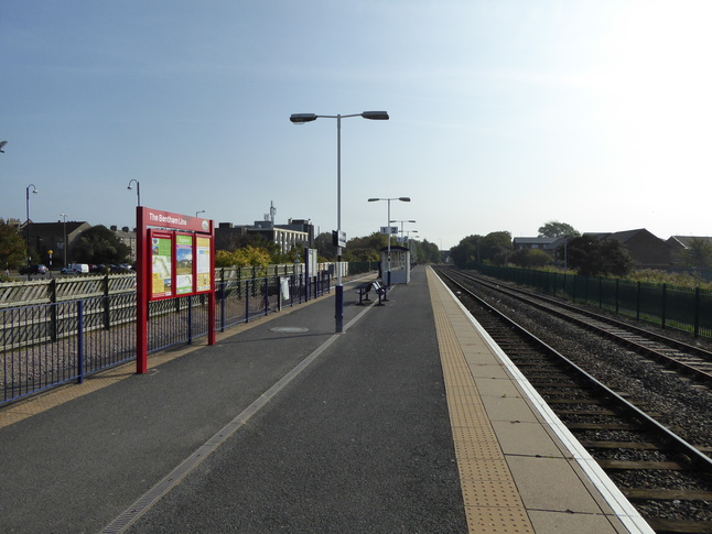
Looking west from the end of platform 2 (on the left of the previous shot):
On platform 2, looking east:
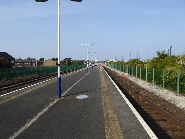
On the platform, looking west at the shelter:
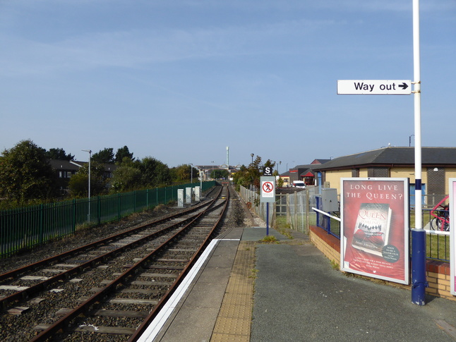
At the eastern end of the platform, looking west:
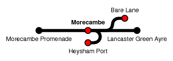
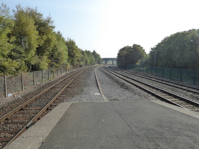
Looking east along the line from the end of the platform. Beyond the bridge the line branches right towards Heysham Port and left towards Bare Lane:
All photographs are © Alexandra Lanes You may reproduce them anywhere for any purpose. Coastline maps are reproduced from Ordnance Survey map data by permission of the Ordnance Survey © Crown copyright 2001