
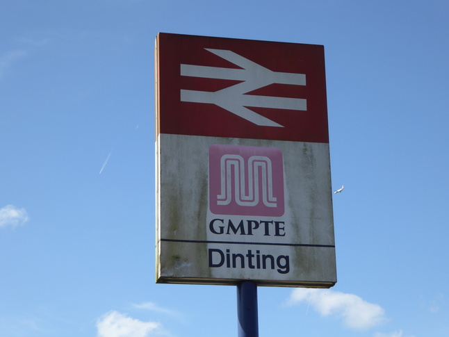
Dinting
| CRS Code | DTG |
| Collected date | 11/09/16 |
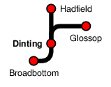
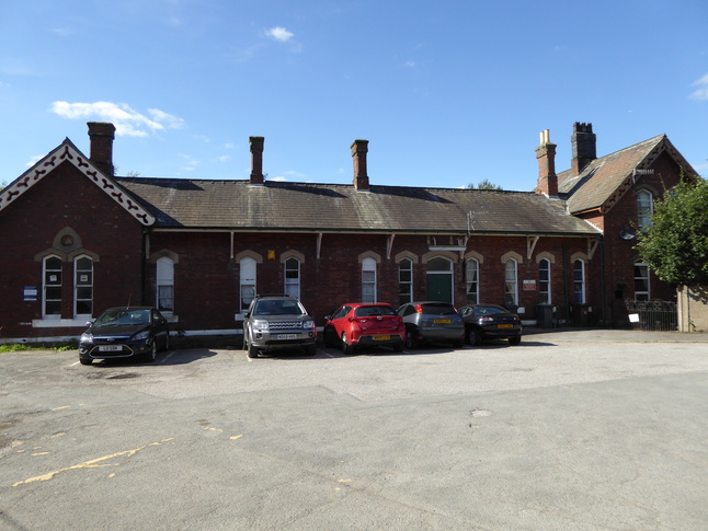
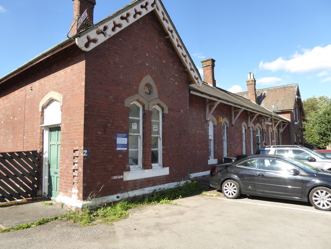
Dinting sits in a triangle of lines, once a junction with the Woodhead route under the Pennines but now with curves leading to termini at Hadfield and Glossop. In the car park, looking at the front of the station building that faces on to the Hadfield platform:
A view looking north/west along the station building:
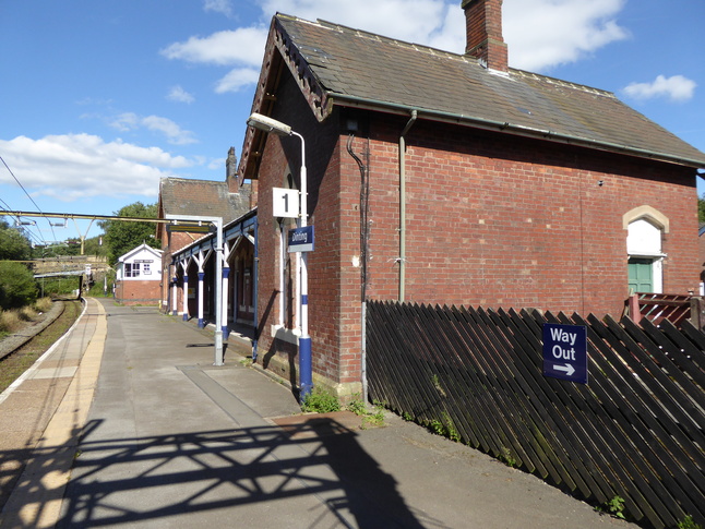
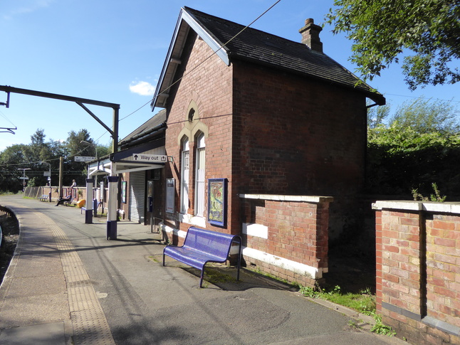
The rear of the station building on platform 1:
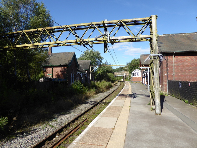
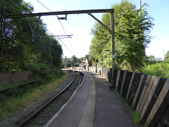
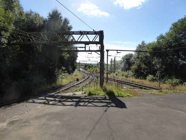
A longer view of platform 1, showing the rather old electrification gantry:
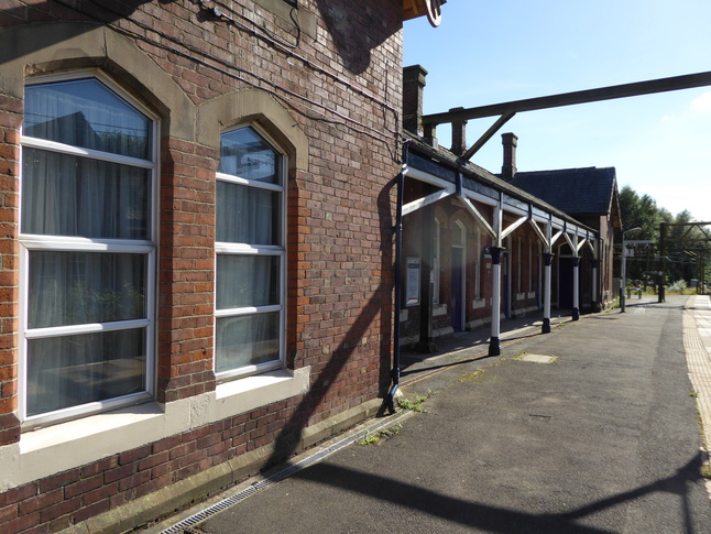
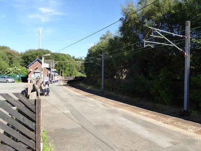
On platform 1 looking east at the canopy:
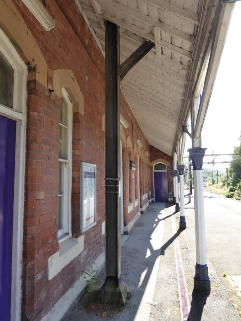
Under the canopy:
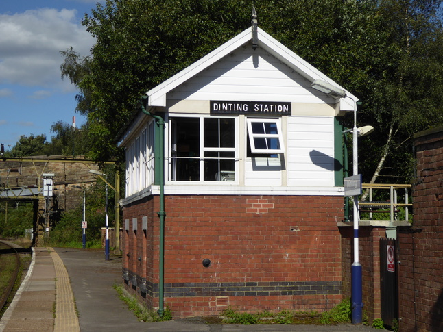
The signalbox sits towards the northern end of platform 1:
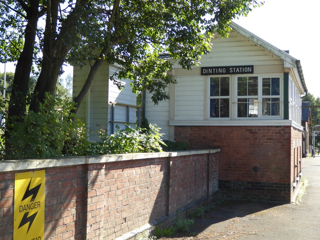
The rear of the signalbox:
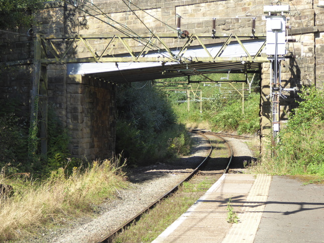
Looking east from the end of platform 1 to the junction with the line from Glossop:
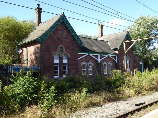
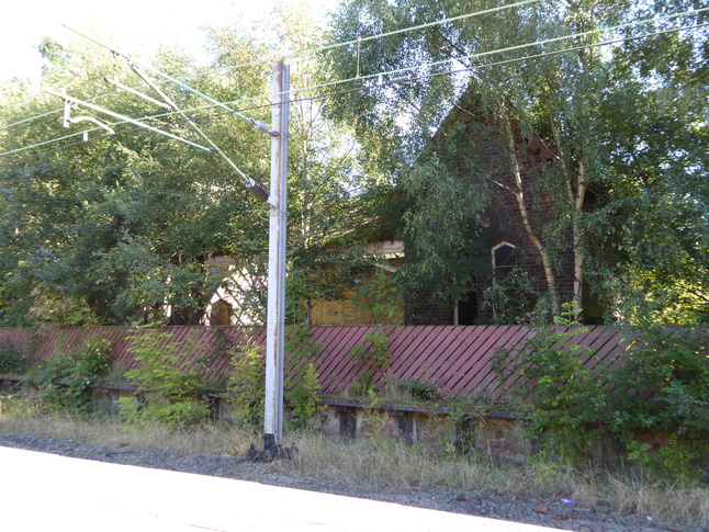
Opposite platform 1 is this well-maintained disused building from when this side of the station had two platforms:
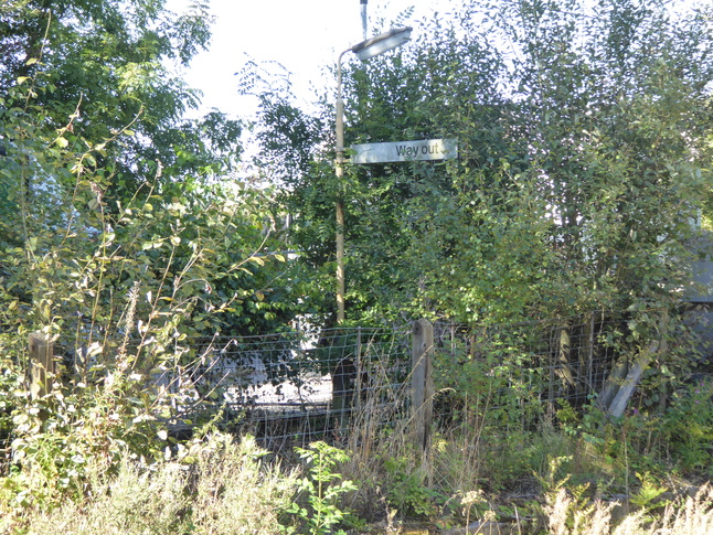
A way out sign in the shrubbery shows that this side of the station was in use in the days of the BR corporate identity:
At the end of platform 1 it joins platform 2 in the crook of the vee between the two platforms. Looking north between the two curves:
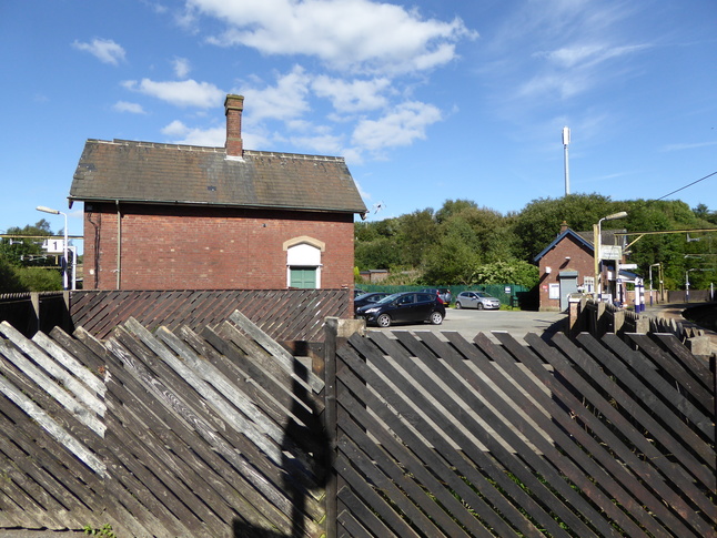
Back in the car park between the two platforms, we look at the rear of the station building on platform 2, which still houses a ticket office and waiting room:
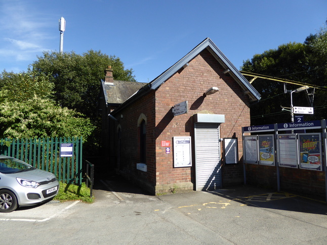
On platform 2, looking at the platform facing side of the building:
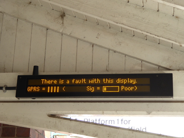
Sadly the information display, like many around here that try to use a mobile phone data connection to get information, was broken:
Walking to the far end of platform 2 we look back at the curve:
At the other end, looking at the platform:
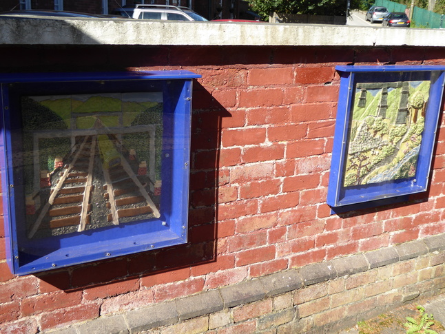
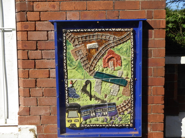
On the fence is this plaque:

It tells us about these ceramics on the walls of platform 2:
Looking west along the line towards Dinting viaduct:
In the bushes opposite platform 2 another disused building can be seen:
All photographs are © Alexandra Lanes You may reproduce them anywhere for any purpose. Coastline maps are reproduced from Ordnance Survey map data by permission of the Ordnance Survey © Crown copyright 2001