

Glossop
| CRS Code | GLO |
| Collected date | 11/09/16 |
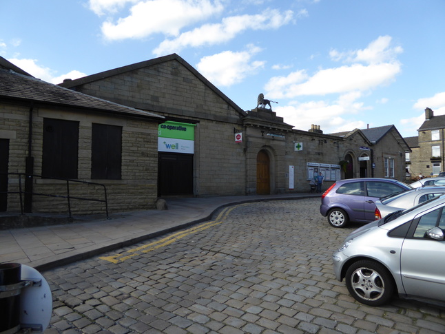
Glossop station is actually in Derbyshire, but is only connected to Greater Manchester's rail network, so counted for our purpose of collecting Manchester! Most of the station as it was originally built in 1845 is now used by the Co-op next door but the buildings largely survive.
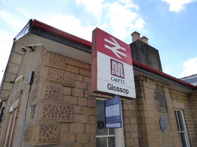
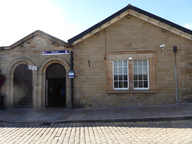
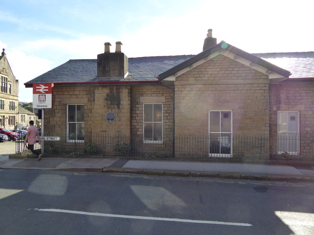
The front of Glossop station, from the small car park next to Norfolk St.:
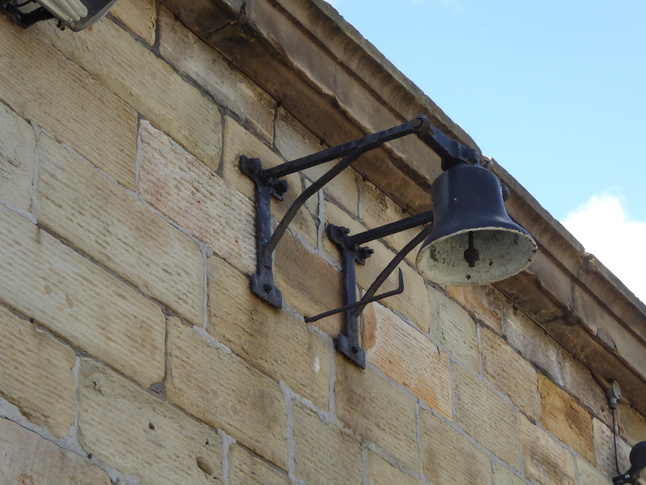
Norfolk Street? I hear you cry. But we're nowhere near Norfolk! Quite right. The street is named after the 13th Duke of Norfolk who built the line and viaduct from Dinting at his own expense. When the Duke visited, this bell on the front of the station (above the notice boards) was rung:
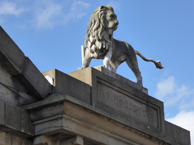
Above one of the entrances (now used by a pharmacy) is this lion, the symbol of the Howards, Dukes of Norfolk:
The entrance to the part of the building still used by the railway is in the northern portion of the building:
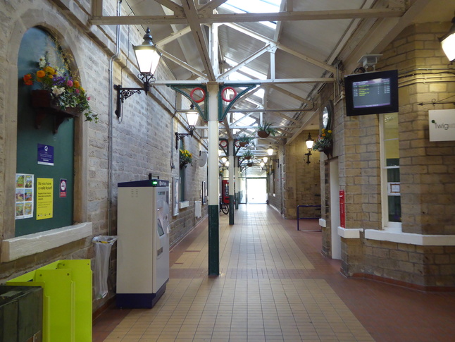
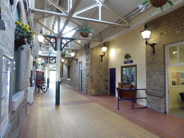
The entrance leads to this covered ticket hall:
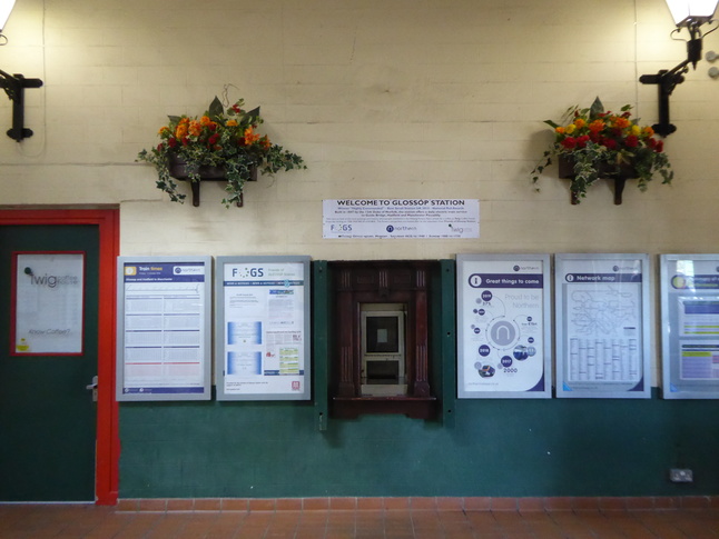
Immediately to the right is this old ticket window:
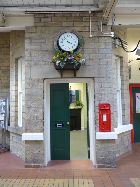
Further along the ticket hall to the right is this waiting room:
And then a newer ticket window:
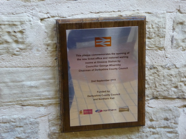
The left hand wall bears a number of plaques. This first one commemorates the opening of the new ticket office and restored waiting rooms by Councillor George Wharmby, Chairman of Derbyshire County Council:
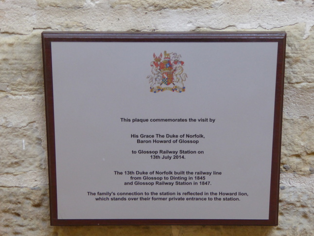
A second plaque commemorates the visit by the 18th Duke of Norfolk in 2014:
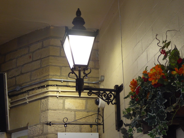
Detail of one of the lamps in the ticket hall:
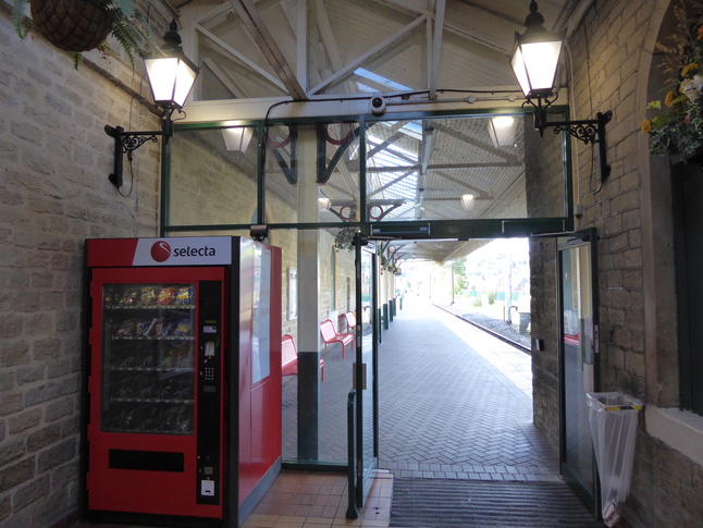
The end of the ticket hall leads out onto the platform, although the doors can be closed to keep in the warmth:
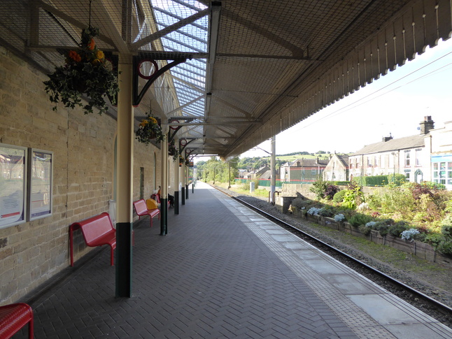
On the platform looking west:
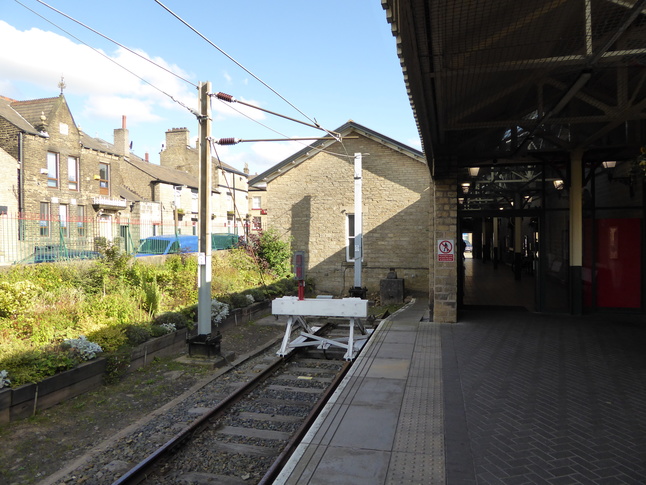
Looking back towards the station building and buffers:
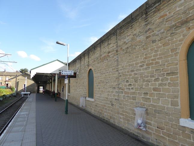
Alongside the platform is this wall behind which the Coop lurks:
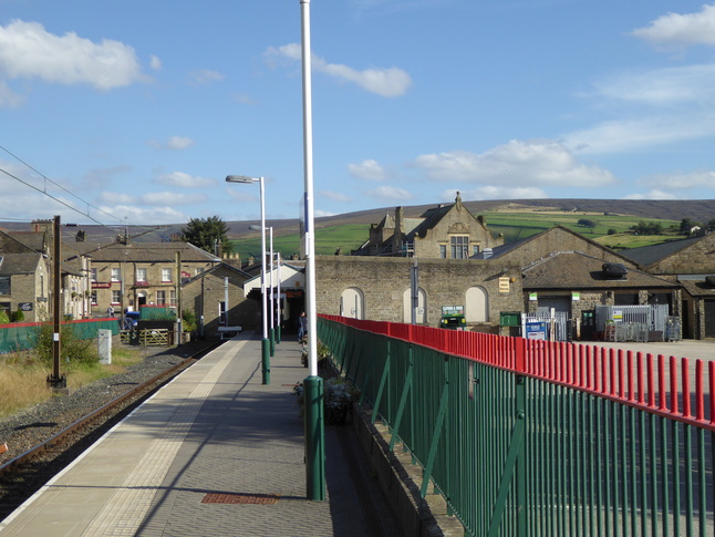
From further along the platform looking back east at the station:
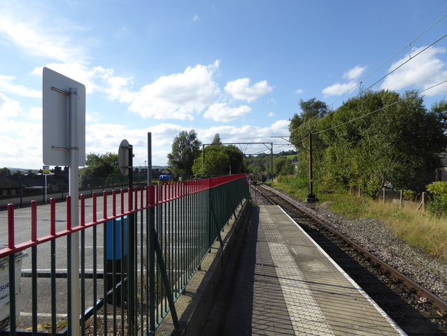
Looking west along the line:
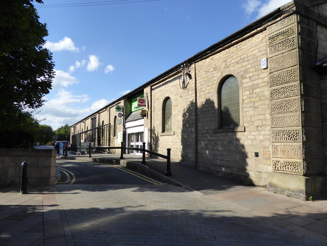
Coming back outside we look at the station's eastern side:
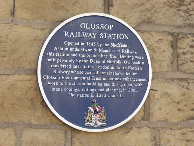
There's a plaque on the wall marking the station's construction and restoration in 2005:
The south side of the building has the Coop's main entrance:
All photographs are © Alexandra Lanes You may reproduce them anywhere for any purpose. Coastline maps are reproduced from Ordnance Survey map data by permission of the Ordnance Survey © Crown copyright 2001