
Kemble
| CRS Code | KEM |
| Collected date | 14/05/08 |
It was a good thing we had plenty of time to stop and explore Kemble station, as it has a lot of features, many intact from its days as a junction rather than a through station.
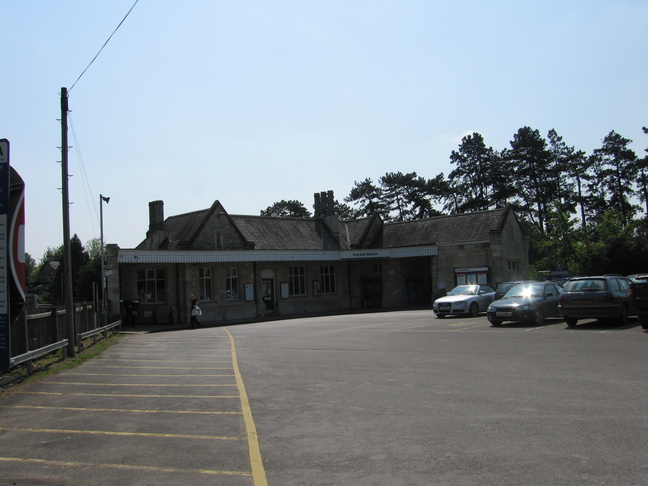
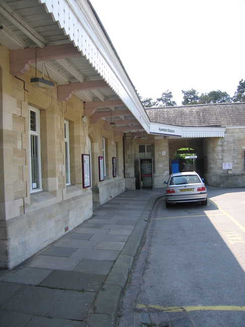
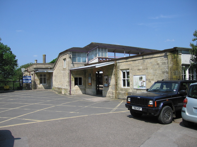
The front of the station seen from the car park:
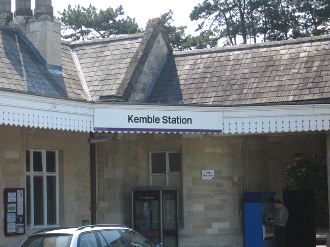
The canopy on the front of the station building, with the ticket office (closed at the time of our visit) in the building on the left:
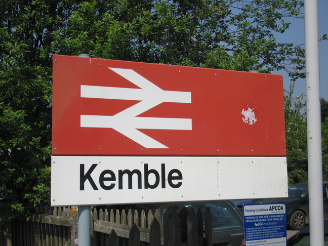
The sign on the canopy on the front of the station:
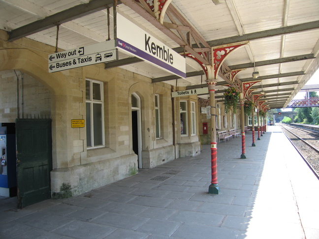
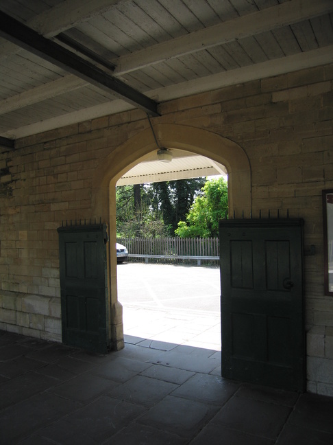
On the right of the previous photo an archway leads onto platform 1, for trains southbound towards Swindon:
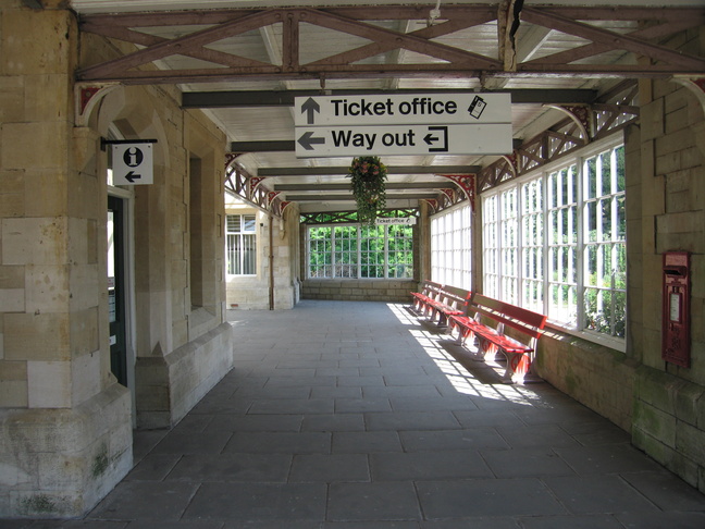
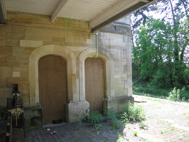
Beyond the ticket office building on the left, next to the post box, is the entrance to this concourse area:
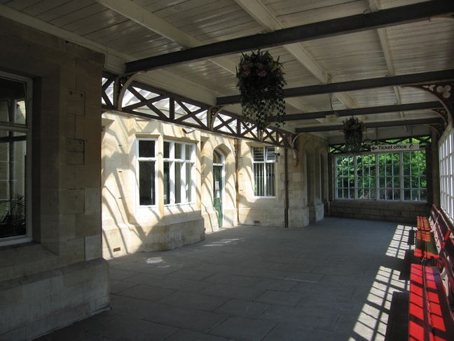
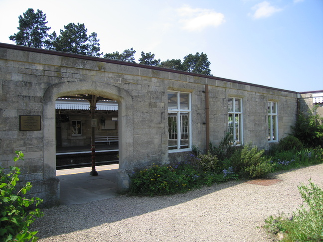
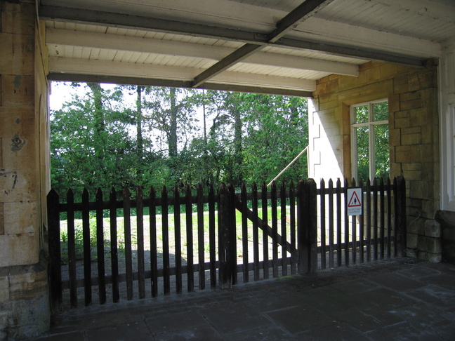
Further along platform 1 is a gateway to this garden:
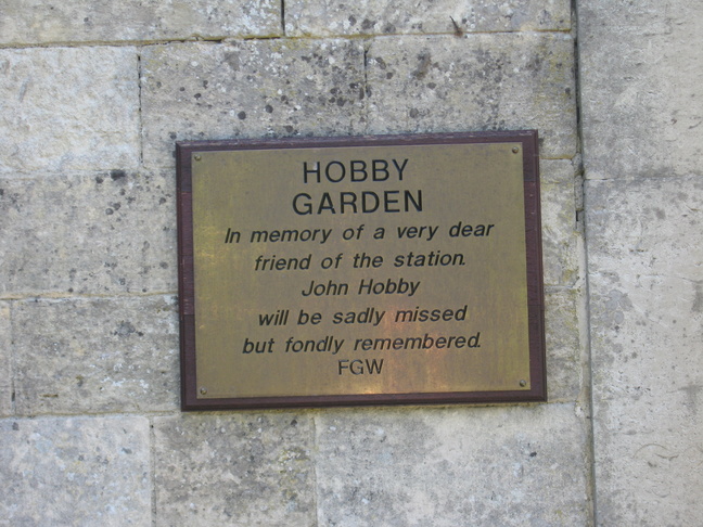
A plaque names the garden:
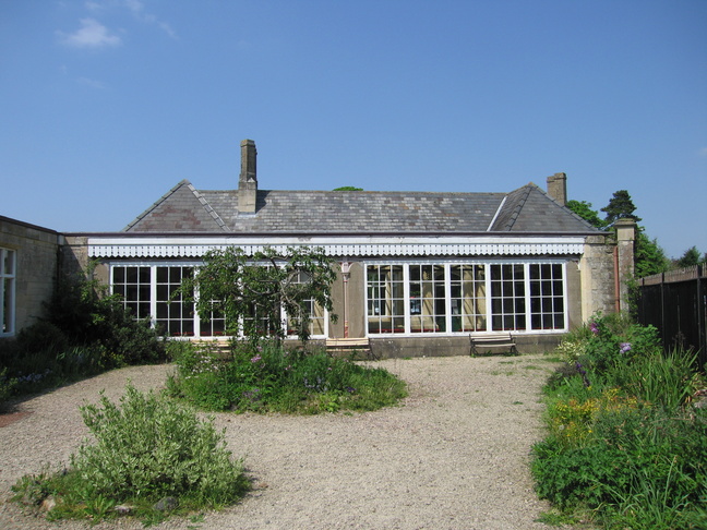
In the garden, looking towards the station concourse:
Finally, beyond the entrance to the footbridge it is possible to see a disused platform, which was until 1965 the branch line to nearby Cirencester:
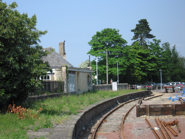
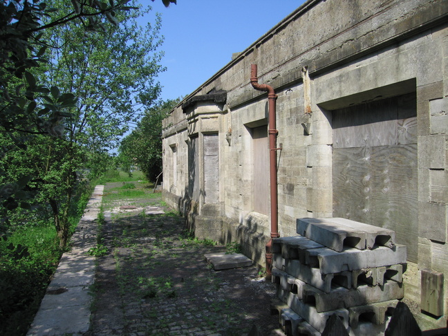
A view of the disused platform showing the station building and garden railings on the left:
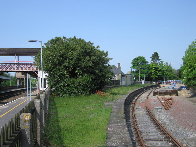
Looking north along the platform beside the garden railings:
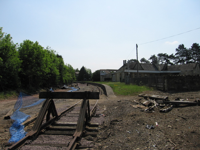
The former line to Cirencester ends at these buffers, from which we look back at the station and disused platform:
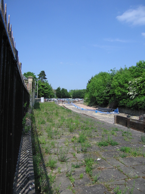
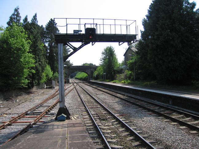
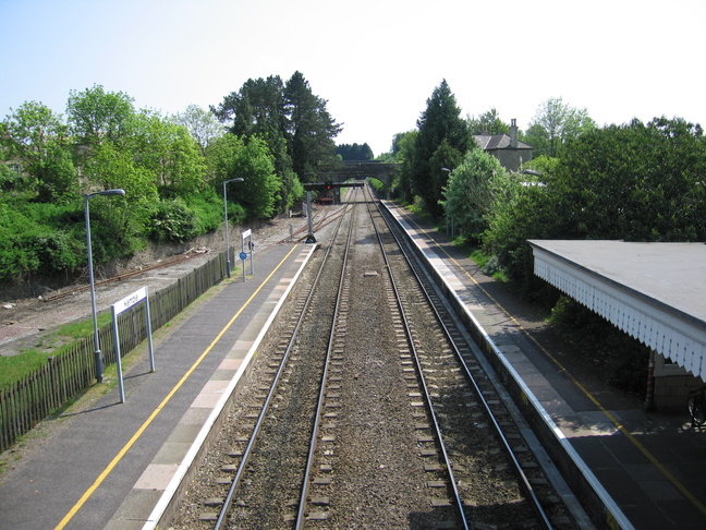
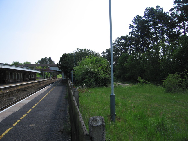
Looking southeast from the end of platform 1:
A footbridge links the two sides of the station:
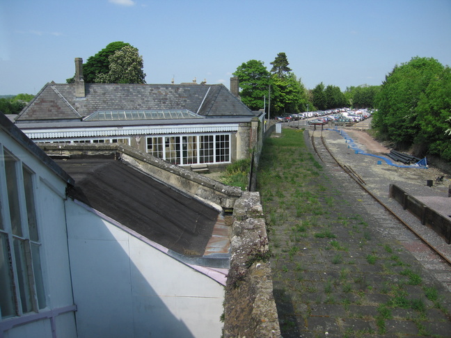
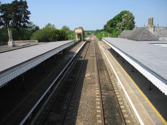
From the end of the footbridge is this view of the station building and concourse roof:
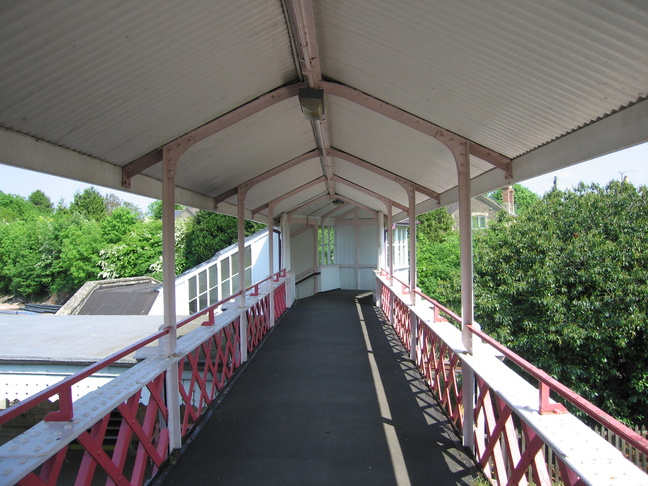
Inside
the footbridge:
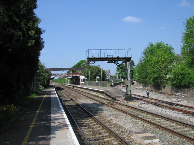
Looking southeast from the footbridge:
Looking west (well, more like north) from the footbridge:
On the other side of the line, on platform 2, for norhtbound trains via Stroud to Gloucester:

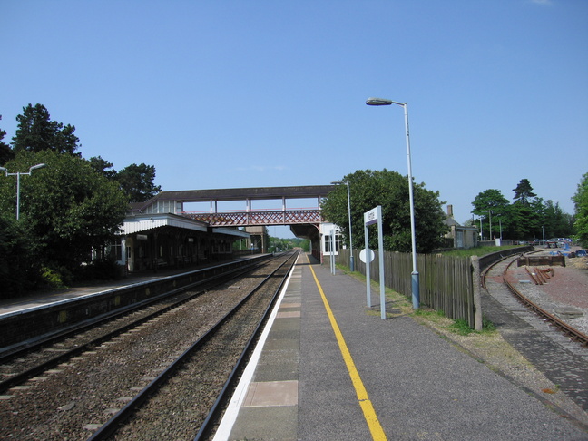
Looking at the station from the southern end of platform 2:
The gate leading out from platform 2:
The car park to the rear of platform 2:
Platform 2 also has an adjacent disused platform, this one the former branch line to Tetbury. This wooden gate bars the way from platform 2:
The buildings on platform 2 are not used, and the doorways beyond the gate are boarded up:
The rear of the station building on platform 2 can be seen from the car park:
On platform 2 the old disused platform is visible to the right:
Looking northwest along the line from platform 1:
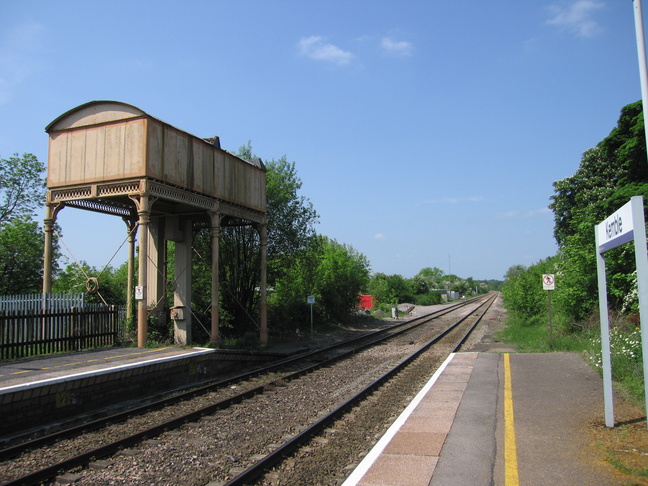
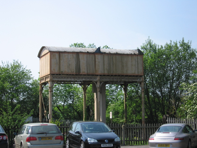
The water tower, at the northern end of platform 2:
All photographs are © Alexandra Lanes You may reproduce them anywhere for any purpose. Coastline maps are reproduced from Ordnance Survey map data by permission of the Ordnance Survey © Crown copyright 2001