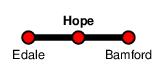
Hope
| CRS Code | HOP |
| Collected date | 18/09/18 |
Having cycled from Dove Holes via the closed station at Peak Forest we arrived at Hope, the last station of the day.
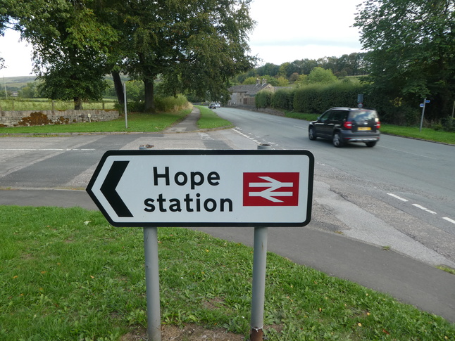
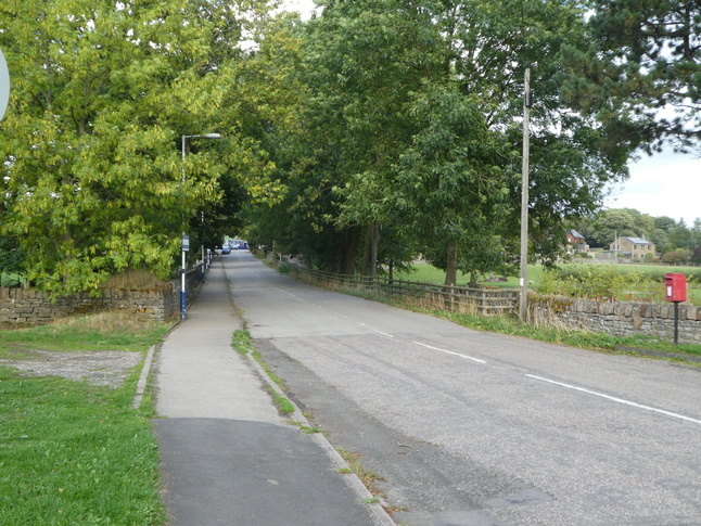
Access to the station is down Station Road just off Hope Road itself:
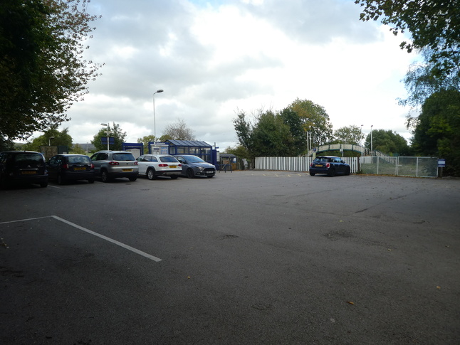
The road leads to the car park wfrom where we can see the station site including the shelter and footbridge:
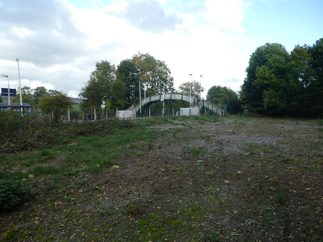
Just east of the car park is a swath of disused land:
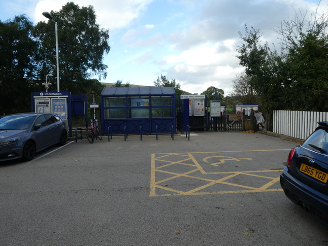
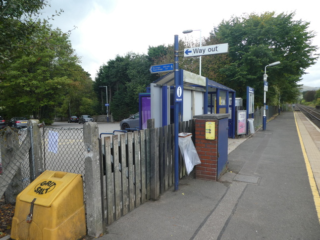
The entrance from the car park to platform 1:
On platform 1 looking back at the car park and west along the platform:
Further west along platform 1, looking east towards the shelter and footbridge:
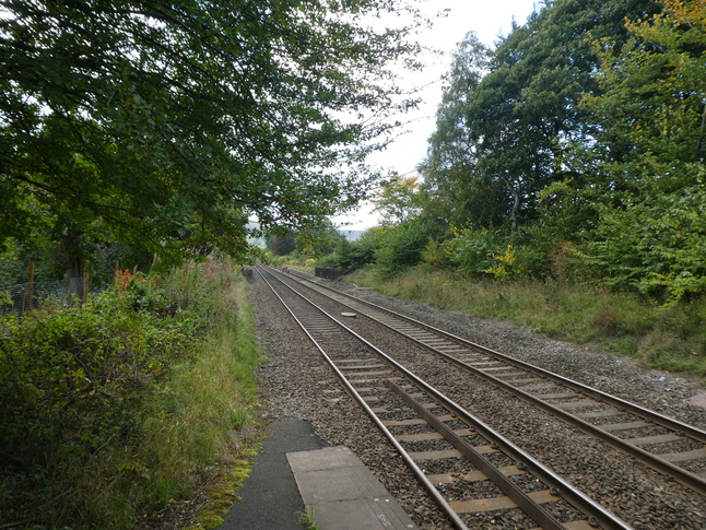
At the very end of platform 1 looking west along the line:
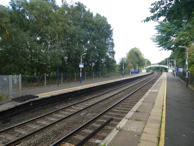
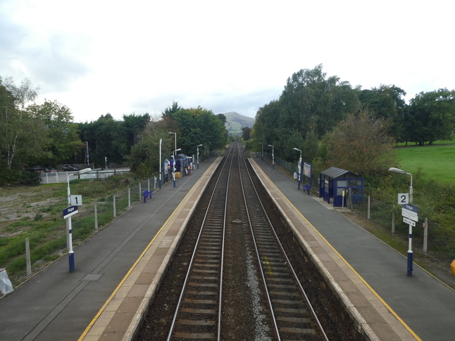
Looking east at both platforms from the end of platform 1:
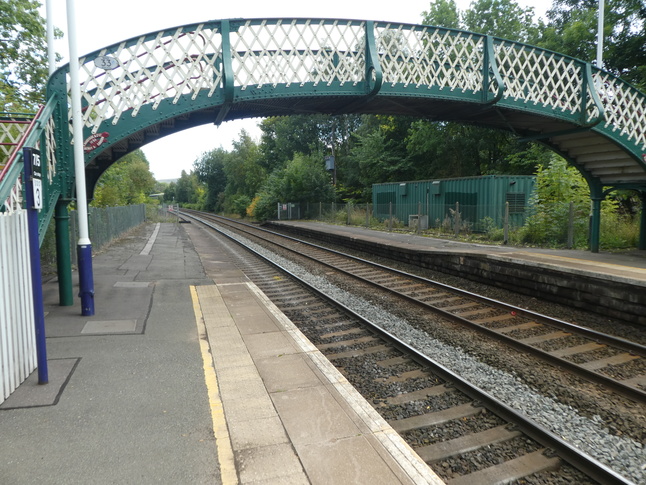
Back to the other end of platform 1 where we find the footbridge:
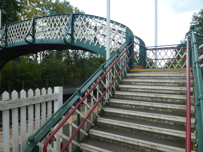
The entrance to the footbridge from platform 1:
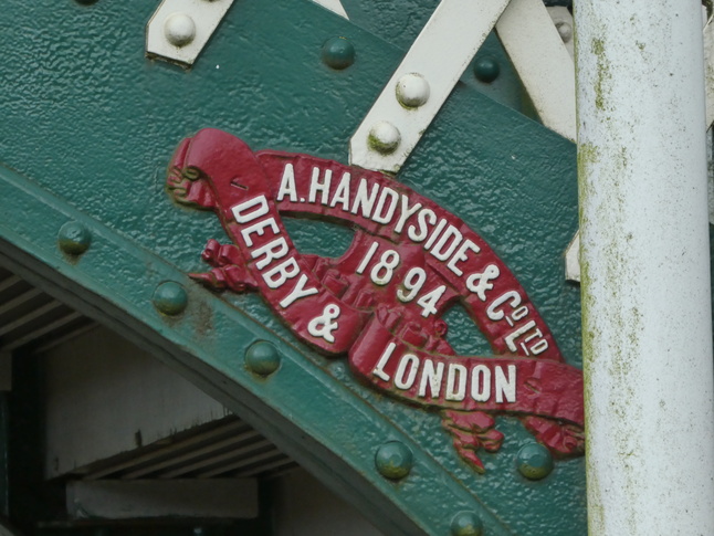
The bridge has this maker's mark on it:
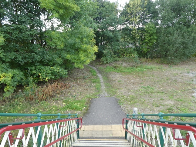
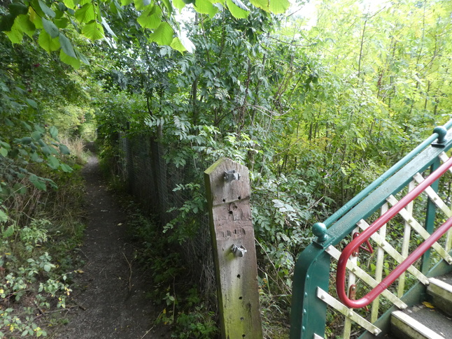
From the platform 1 side of the bridge a path leads south back towards the main road:
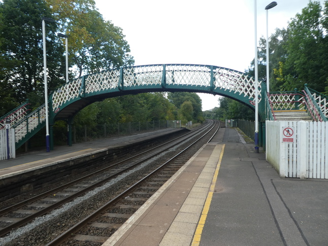
On the footbridge looking west at the platforms, with Lose Hill in the distance:
Over on platform 2 looking east along the line:
A footpath towards the nearby village of Aston leads from the platform 2 side of the footbridge:
The length of platform 2 seen from the footbridge:
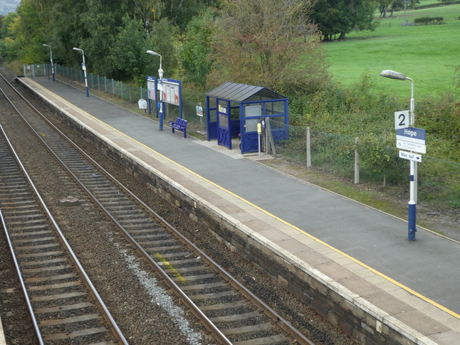
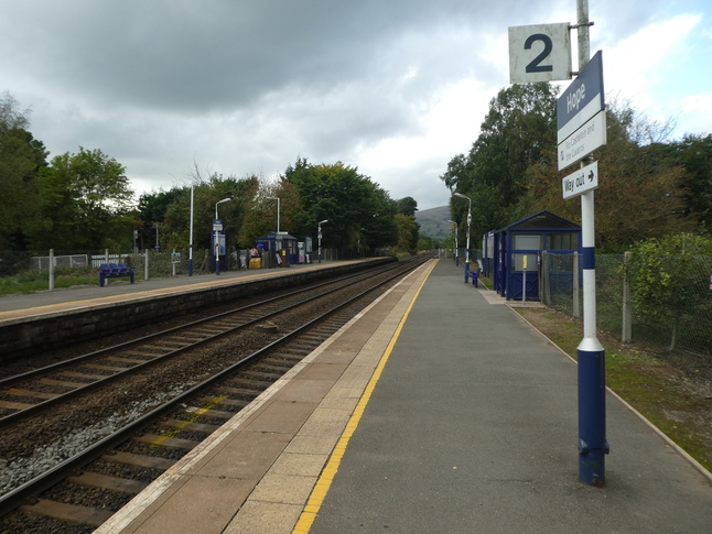
On platform 2 looking west:
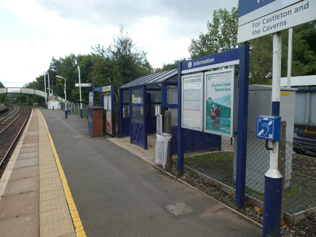
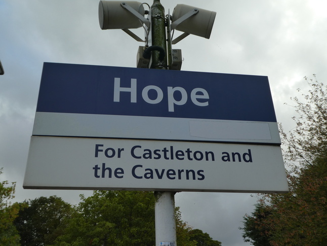
All the signs at hope tell you what the station is for - "Castleton and the Caverns":
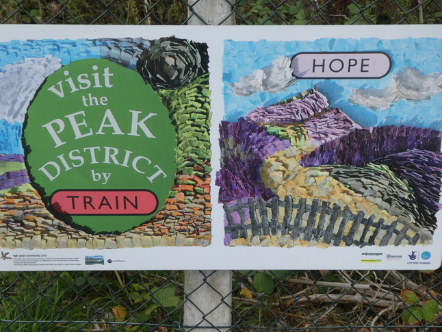
Attached to the fencing on platform 2 is this artwork telling you to visit the Peak District by train, which is surprising, since you're already there:
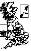
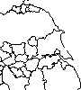
All photographs are © Alexandra Lanes You may reproduce them anywhere for any purpose. Coastline maps are reproduced from Ordnance Survey map data by permission of the Ordnance Survey © Crown copyright 2001