

Spalding
| CRS Code | SPA |
| Collected date | 02/04/05 |
Although once a junction with direct lines to Boston and March, Spalding is now the only station on the line from Peterborough to Sleaford.
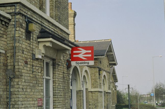
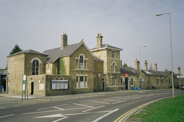
The station building, seen from the road:
The rear of the station building and platform 1:
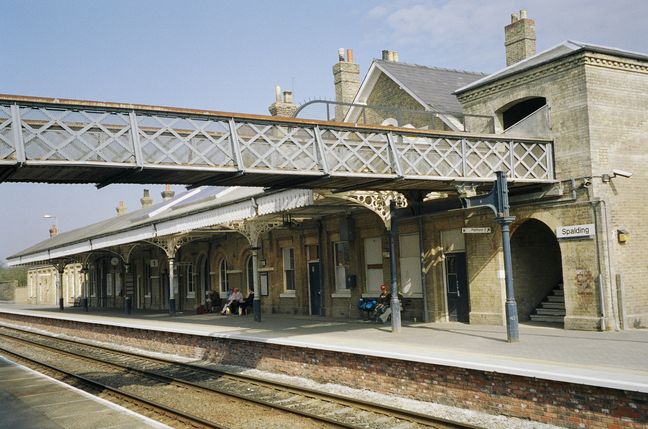
The canopy and roof of the station building on platform 1, seen from the footbridge:
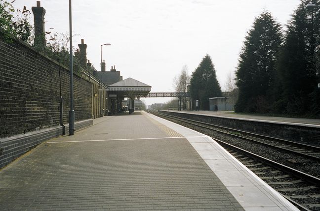
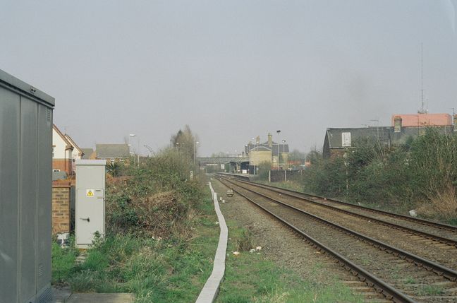
Looking south at the station from the northern end of platform 1:
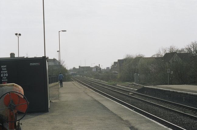
Looking south from the southern end of platform 1, towards the level crossing:
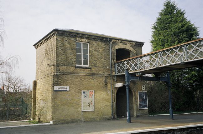
The building on platform 2:
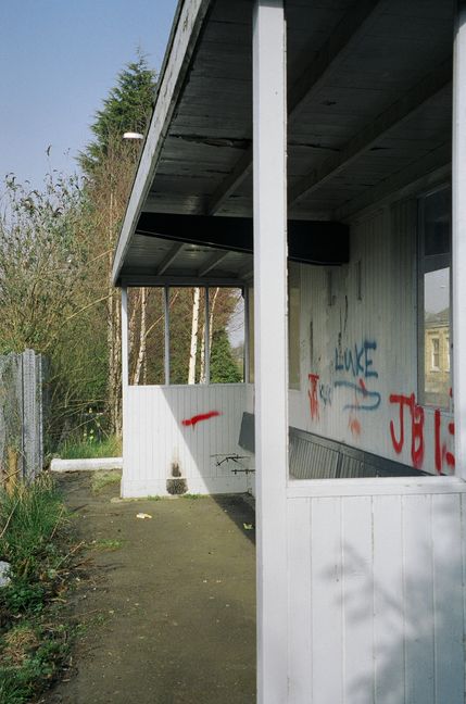
Also on platform 2 is this wooden shelter. From the days when platform 2 was two-sided, the shelter too has two sides, this one sadly vandalised and graffitied:
Looking north at the station complex from the Winsover Road level crossing to the south of the station:
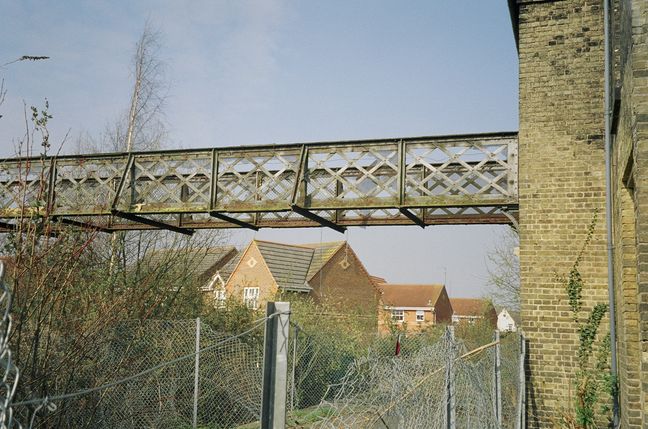
Spalding used to have four platform faces, and a second footbridge spanned the tracks from the building on platform 2. When I visited, the remains of this footbridge were still visible:
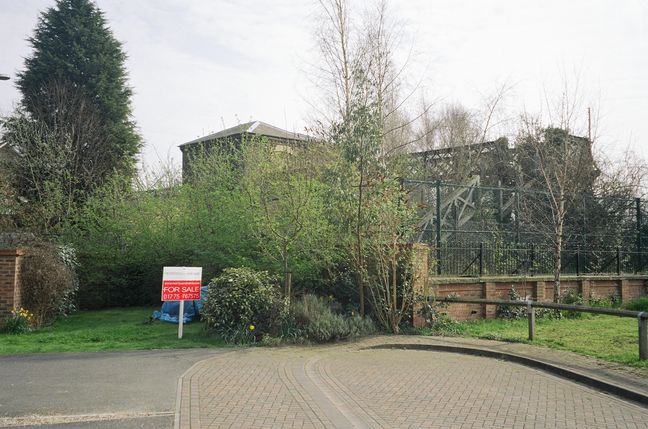
The other end of the footbridge can just be seen from the housing estate to the west of the station:
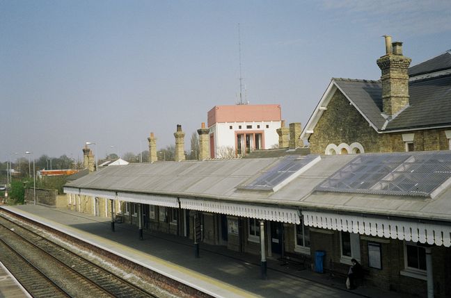
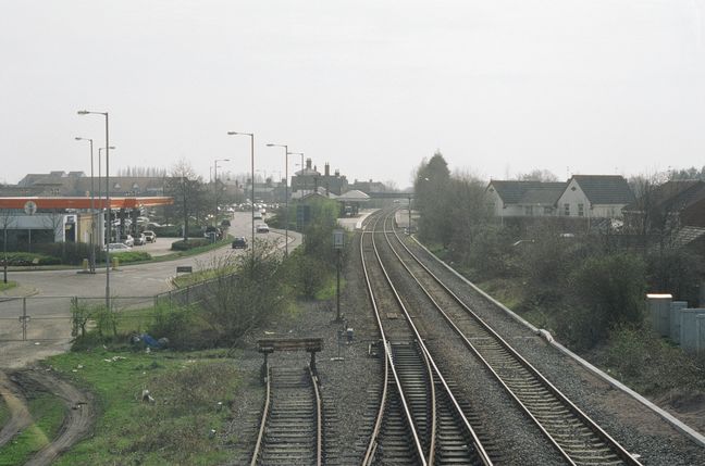
Another footbridge spans the tracks to the north of the station, providing this shot:
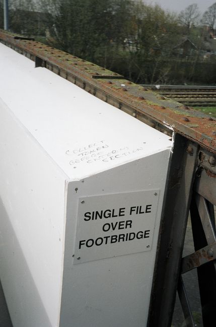
This bridge is in need of repair and is narrowed by reinforcements on either side. "Single file over footbridge" says the official sign. "Collect token before entering section," adds a railway wag:
All photographs are © Alexandra Lanes You may reproduce them anywhere for any purpose. Coastline maps are reproduced from Ordnance Survey map data by permission of the Ordnance Survey © Crown copyright 2001