
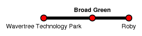
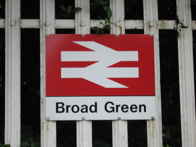
Broad Green
| CRS Code | BGE |
| Collected date | 02/07/13 |
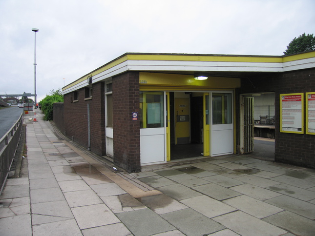
Broad Green station dates from the 19th Century, but the current station buildings are from the 1970s and the station's position in the shadow of the M62 makes it far from the most pleasant place to wait on Merseyrail's network. The front of the station building, from a road just north of the motorway:
The rear of the station building seen from the platform opposite:
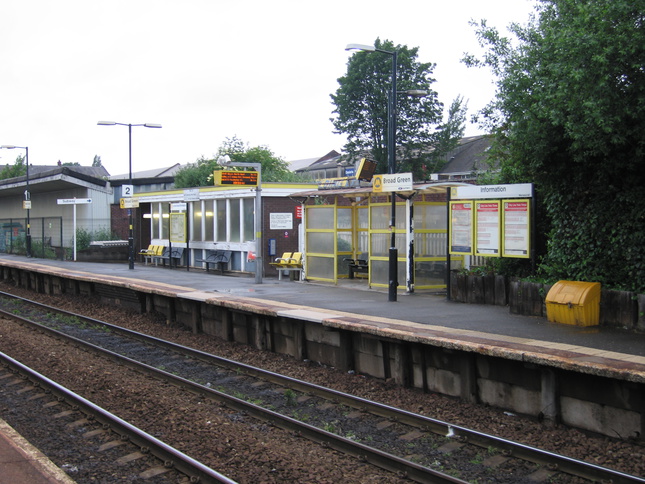
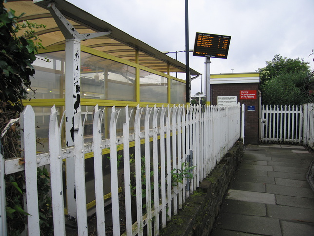
On platform 1, looking east at the station building:
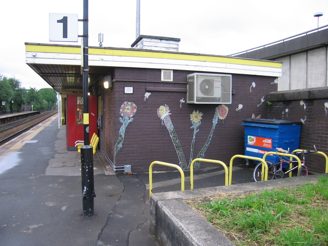
The building on platform 1 is decorated with mosaics:
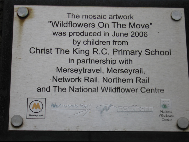
The plaque explaining the mosaics:
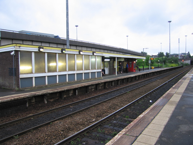
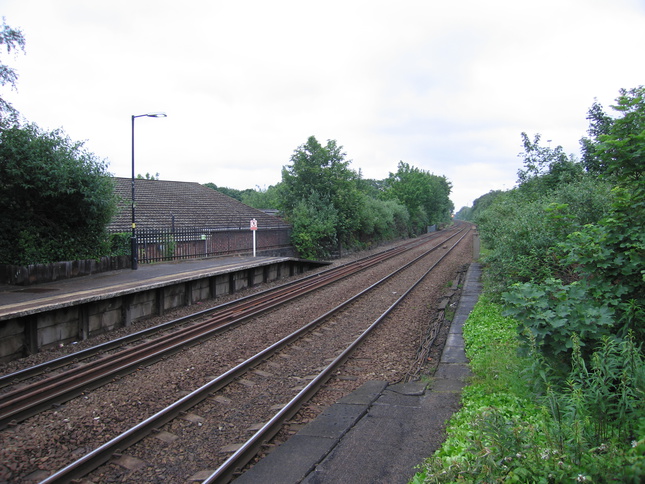
Looking west along the line at Broad Green:
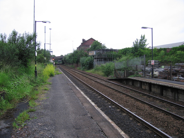
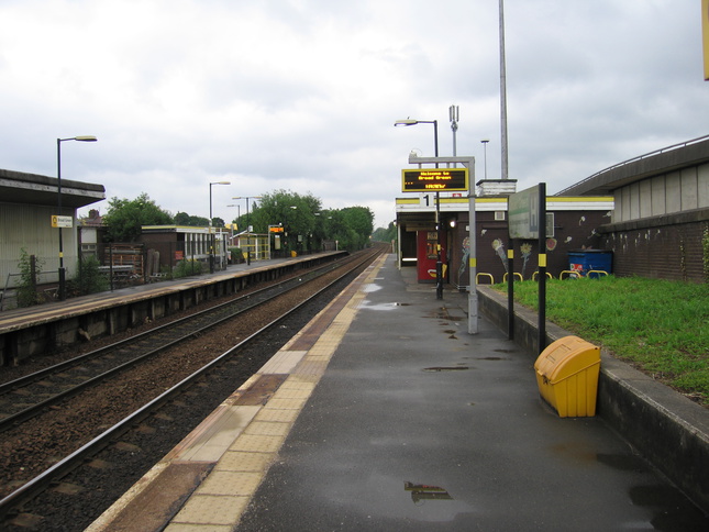
From the other end of platform 1 looking east along the line:
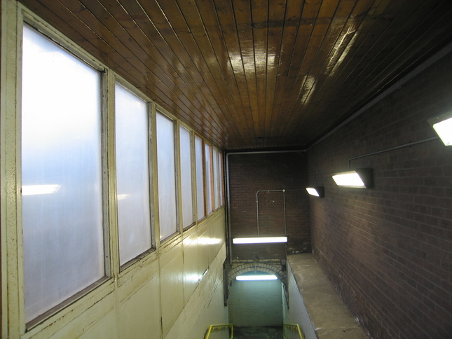
A subway connects the two platforms. The entrance to the subway on platform 1, behind frosted glass:
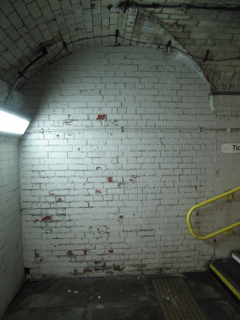
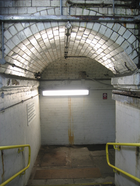
This end of the subway is not rounded, and looks like it has been bricked up like at Roby:
The end of the subway from the steps up to platform 2:
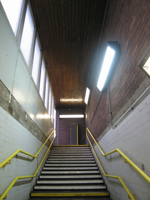
Looking up from the subway at the exit onto platform 2:
Platform 2, with its shelter n the right and the subway on the left:
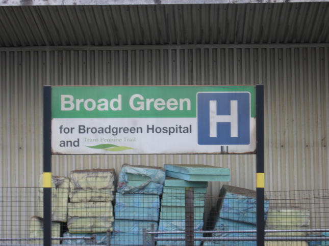
What Broad Green is for, apart from the M62, is Broadgreen Hospital and the Trans-Pennine Trail which was once a railway itself:
There is an entrance to platform 2 from the other side of the line, just behind the shelter:
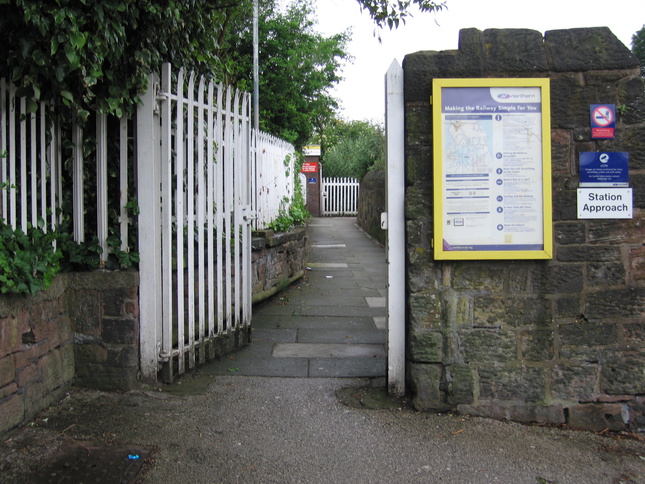
The approach to platform 2 on the north side of the line:
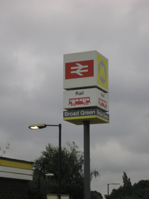
The sign on the platform 2 side:
All photographs are © Alexandra Lanes You may reproduce them anywhere for any purpose. Coastline maps are reproduced from Ordnance Survey map data by permission of the Ordnance Survey © Crown copyright 2001