
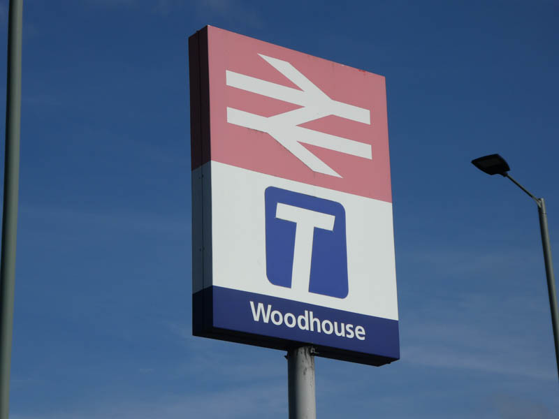
Woodhouse
| CRS Code | WDH |
| Collected date | 19/09/18 |
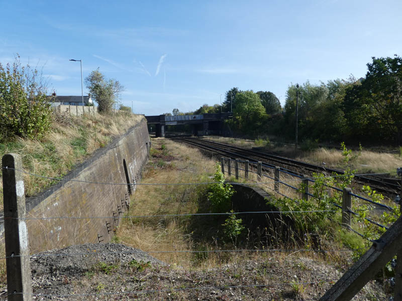
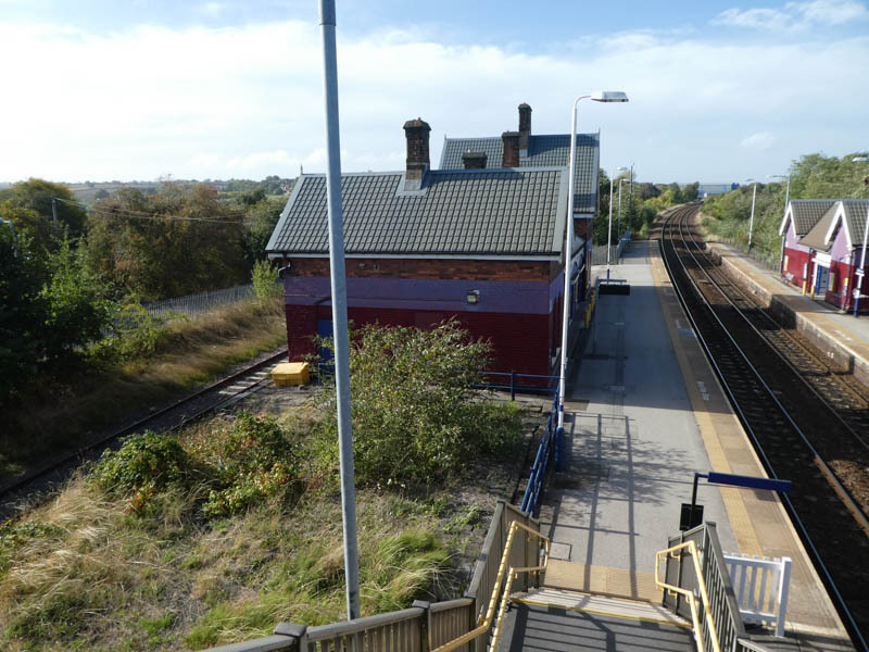
The station area seen from the road bridge to the east of the station:
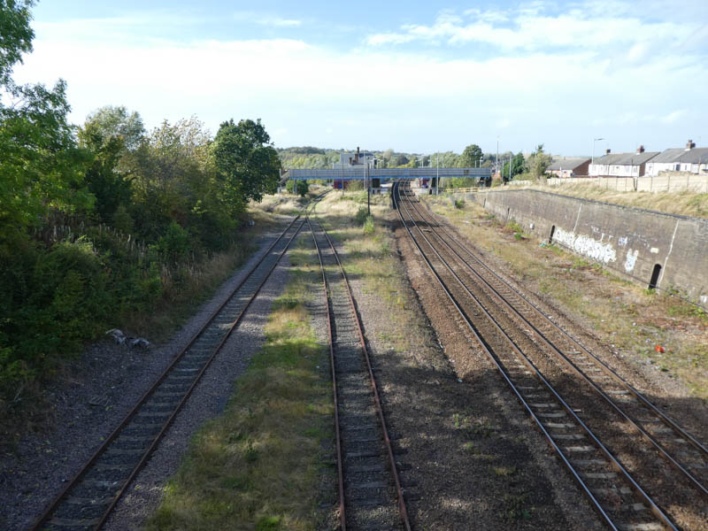
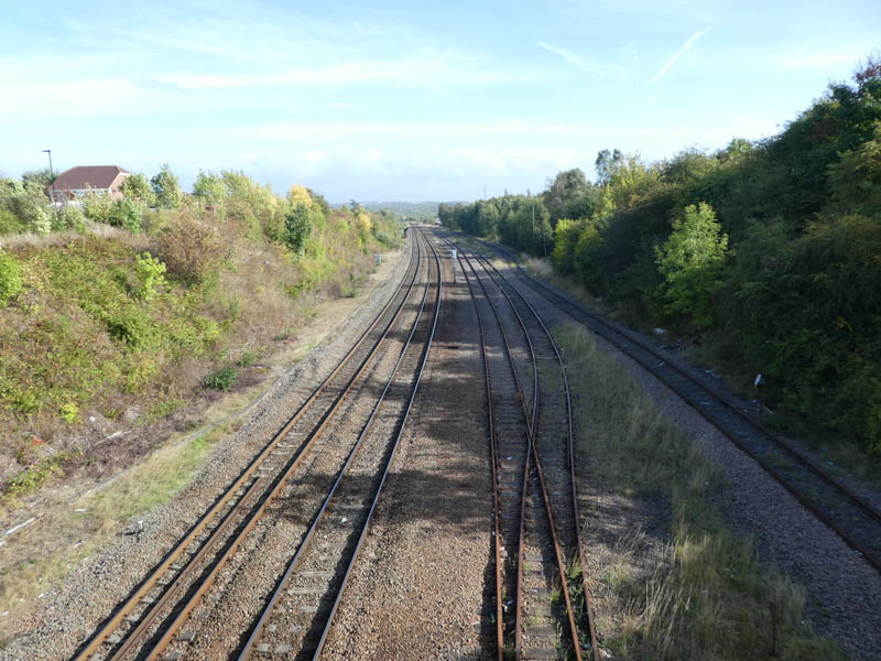
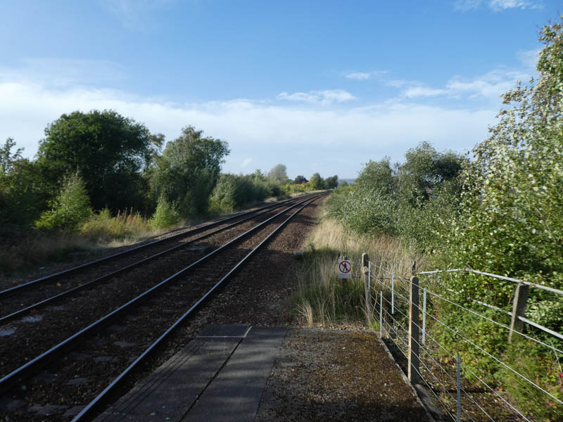
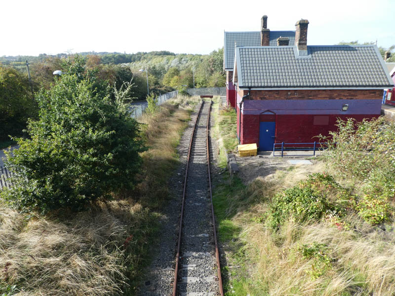
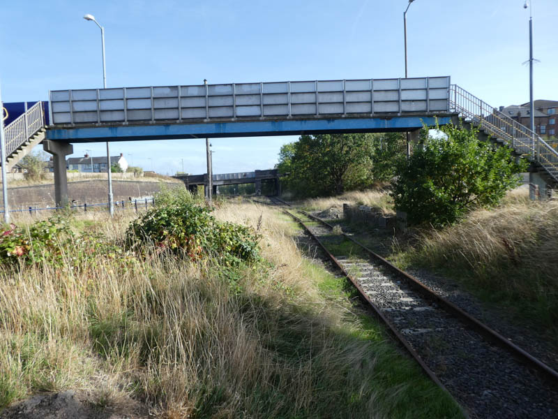
Looking east from the road bridge along the line towards Woodhouse Junction:
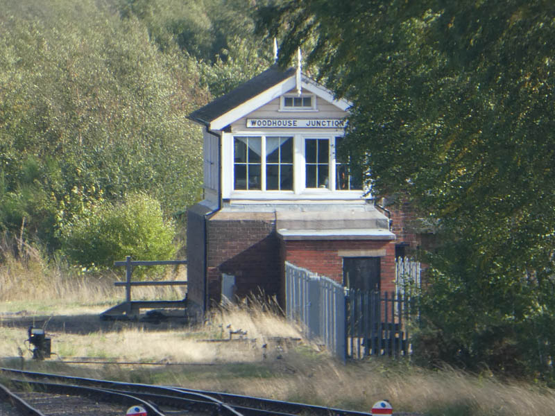
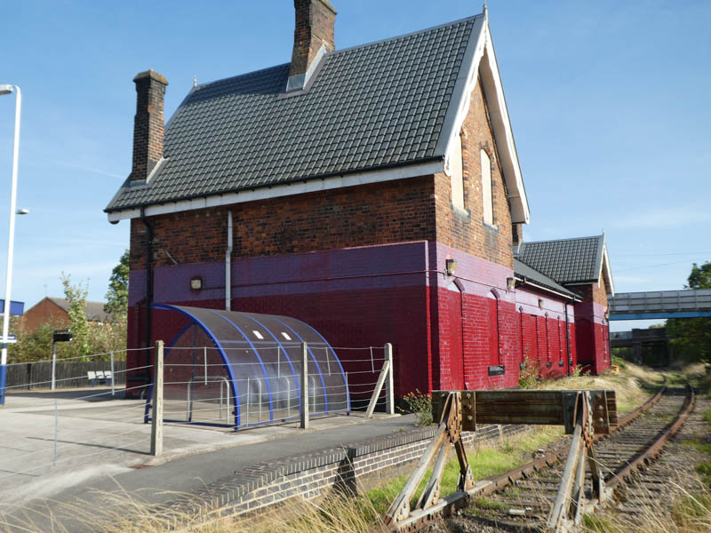
Woodhouse Junction signalbox:
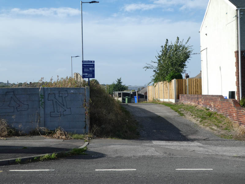
The access to the station from the Furnace Lane road bridge, this side to platform 1:
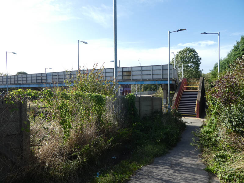
At the end of the step free path is an access to platform 1 and steps up to the footbridge:
As we enter platform 1 our attention is caught by what looks like a disused loading bay just east of the platform entrance::
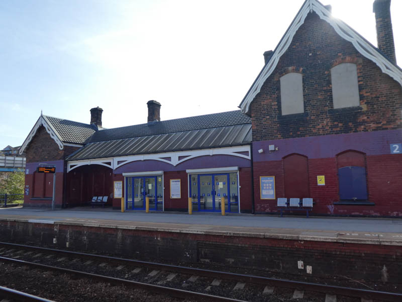
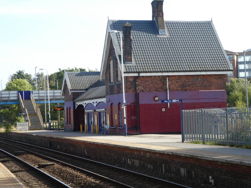
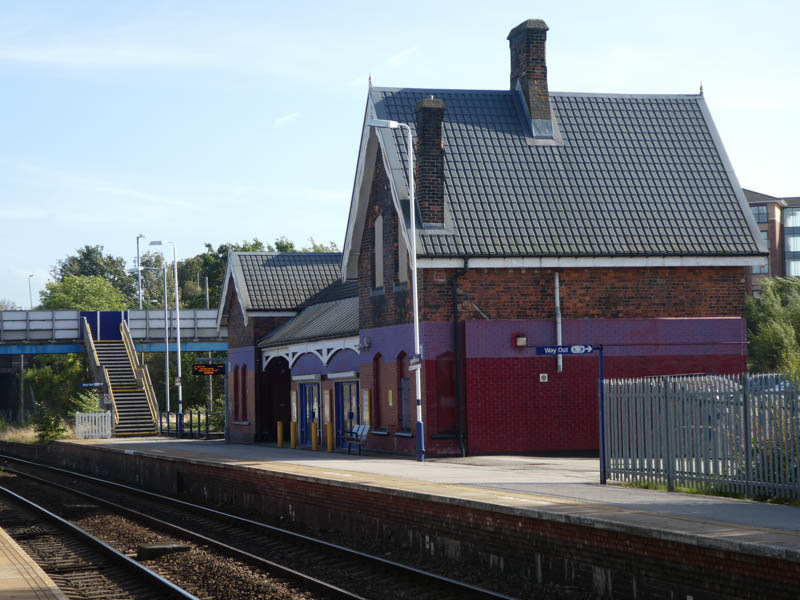
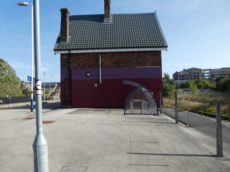
The front of the station building on platform 2:
Looking north along the line from the end of platform 1:
Looking back aong platform 1, with what might be a disused platform edge in the undergrowth:
Platform 2 seen from platform 1:
:
:
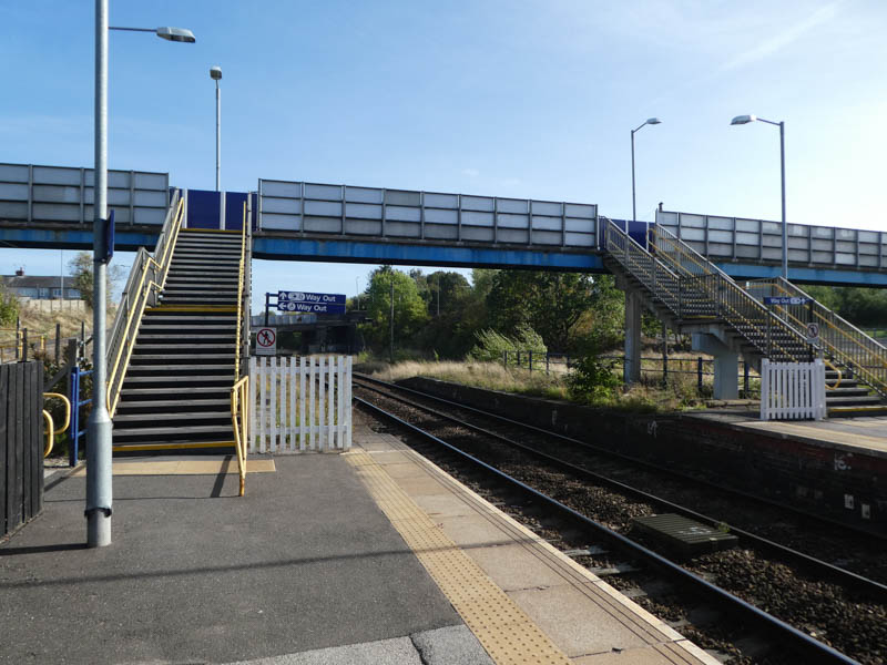
Steps lead up from platform 1 to the footbridge which provides access to platform 2:
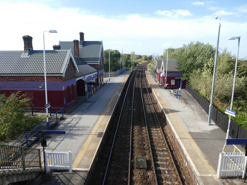
Looking north at the station from the footbridge:
Platform 2 and the side of the station building on it:
Behind the platform 2 building is a disused platform:
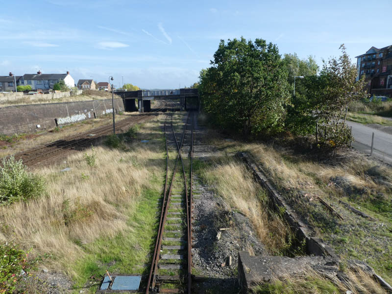
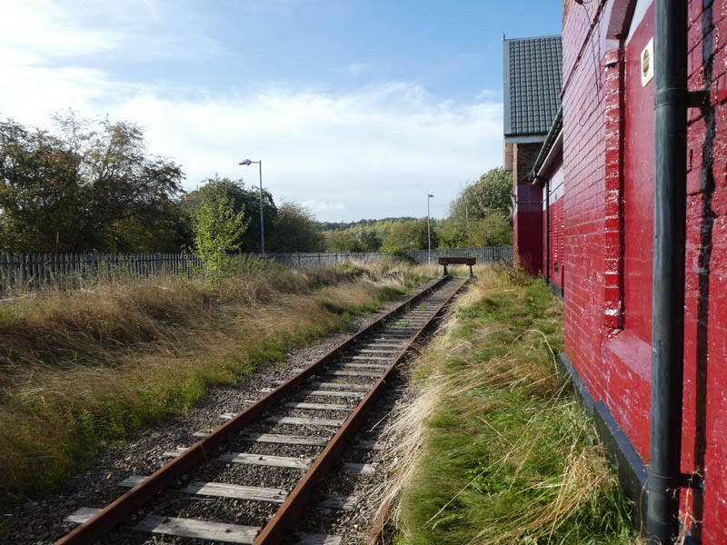
Lookinhg south from the footbridge at the course of the old rusty track:
:
The "platform 3" buffers, visible from the level access to platform 2:
On platform 2 looking south:
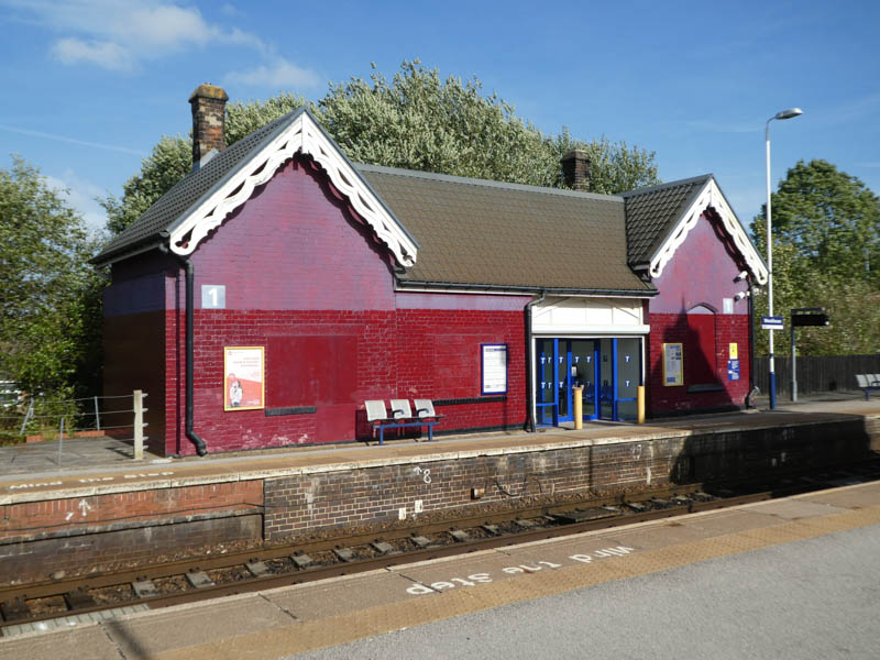
The platform 1 station building seen from platform 2 opposite:
Looking north along the line from the end of platform 2:
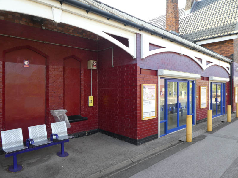
Shelter, both enclosed and not, in the platform 2 building:
Looking along the disused platform edge behind platform 2's building:
Looking south along the disused platform edge:
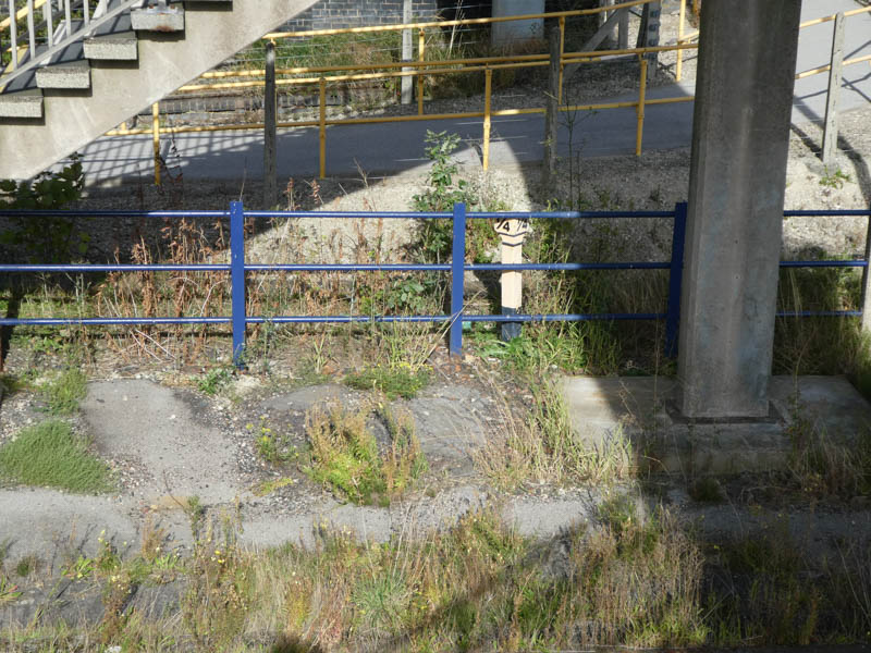
A milepost hidden underneath the footbridge:
All photographs are © Alexandra Lanes You may reproduce them anywhere for any purpose. Coastline maps are reproduced from Ordnance Survey map data by permission of the Ordnance Survey © Crown copyright 2001