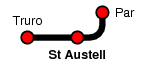
St Austell
| CRS Code | SAU |
| Collected date | 25/05/05 |
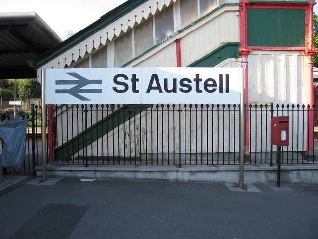
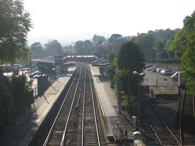
St Austell was the endpoint of an afternoon walk from Luxulyan via Par and the South West Coast Path. We arrived in the late afternoon light to this view of the station:
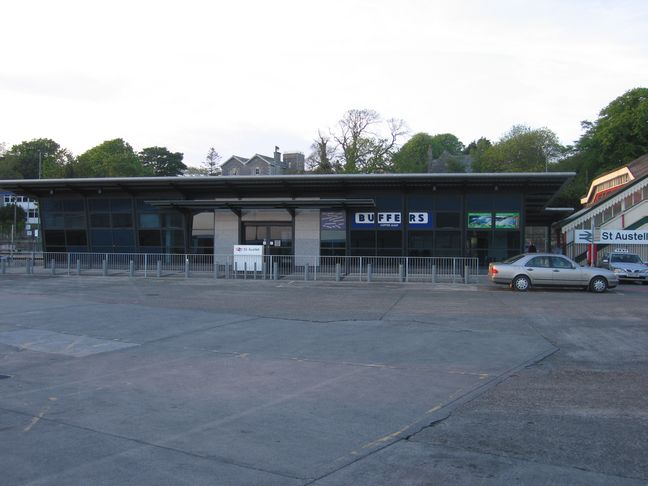
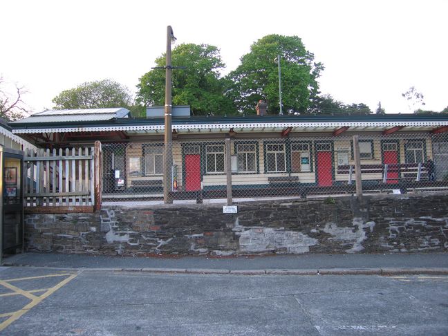
One of St Austell's station buildings is old, one new. The modern building on platform 1, seen from the adjacent bus station:
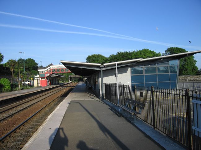
The station building from the side, with the footbridge and platform 2 building in the background:
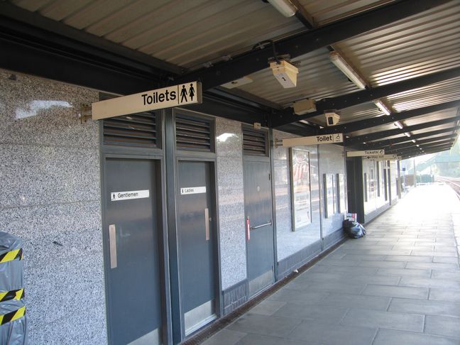
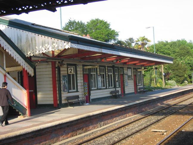
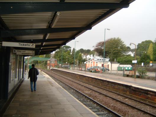
Under the shelter on platform 1:
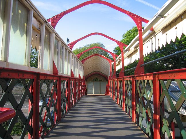
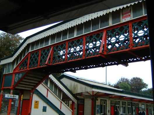
The two platforms are linked with a footbridge, lacking its roof at the time of our visit:
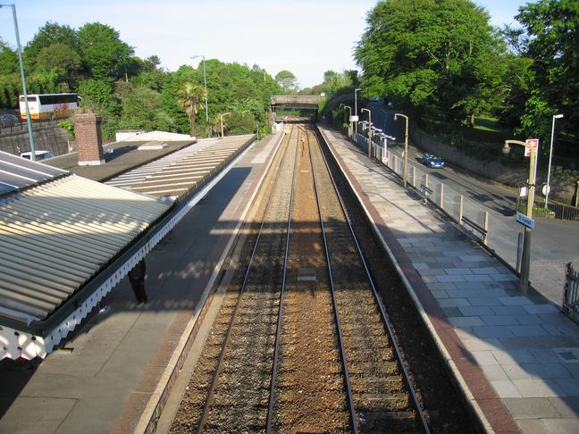
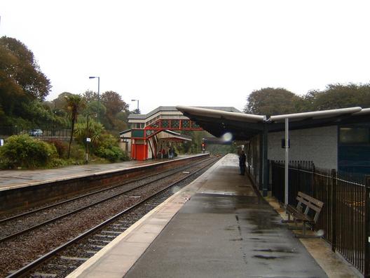
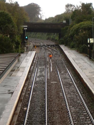
Looking east from the footbridge:
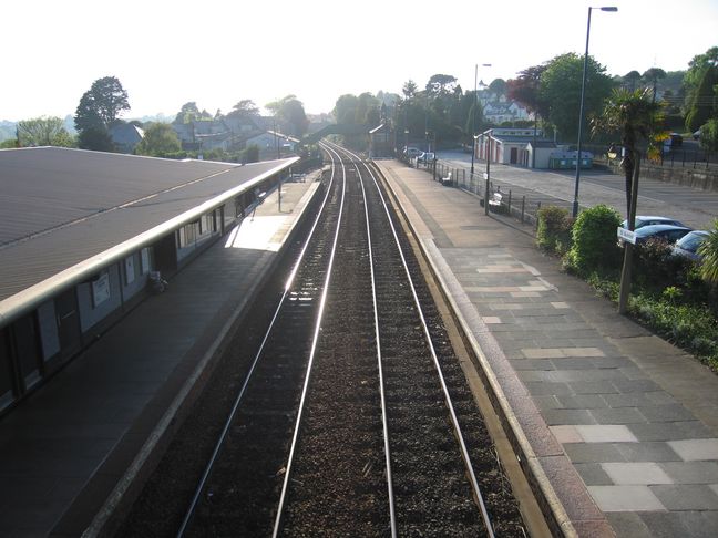
Looking west:
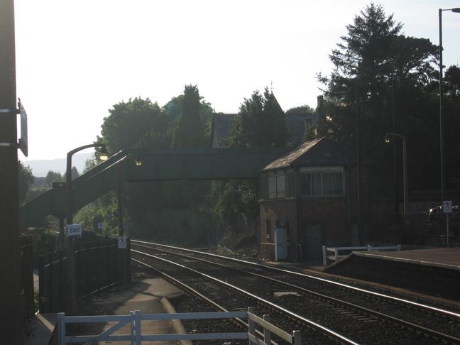
At the western end of platform 2 is the now unused signal box:
The building on platform 2, seen first from platform 1 and then from the bus station outside:
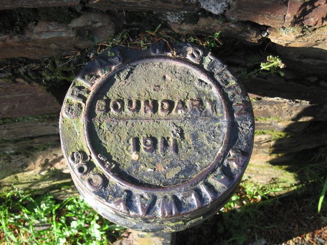
Finally, by the road outside the station was this GWR boundary marker:

The year before my visit, a friend Gareth visited Cornwall and came back with a present of a few pictures of St. Austell station. He writes:
"18/9/2004. Last day in Cornwall, so back to St Austell station. It was raining, but I took a few photos there for Owen."
Looking along platform 1 towards the bridge:
Under the canopy of platform 2:
The footbridge, with the GWR roundel on the left:
Looking along the tracks from the footbridge:
All photographs are © Alexandra Lanes You may reproduce them anywhere for any purpose. Coastline maps are reproduced from Ordnance Survey map data by permission of the Ordnance Survey © Crown copyright 2001