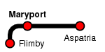
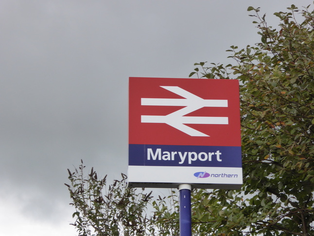
Maryport
| CRS Code | MRY |
| Collected date | 14/09/15 |
Maryport station is now just a single platform, even though there are traces of something larger still visible around the site. In a way it was a good thing the station is a simple affair as it was the only point in the week's travel that the heavens decided to open.
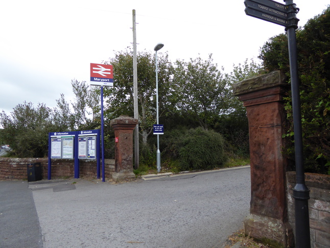
Before the rain, we look at the gates to the station site, just to its north:
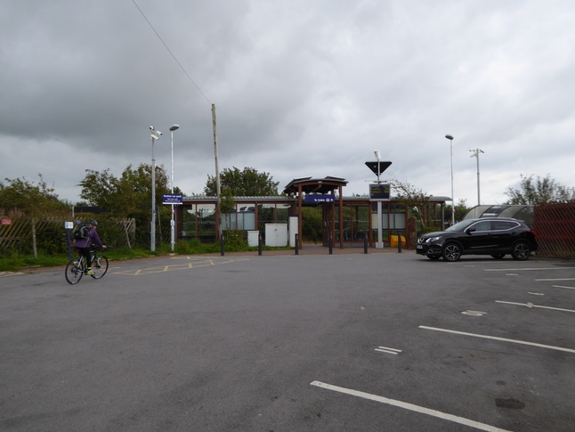
Through the gates, the approach to the station through its car park:
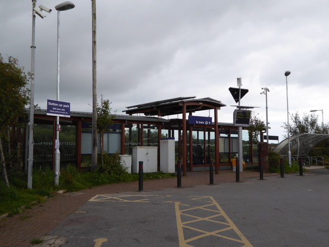
The front of the station "building" which is basically three shelters:
Another old pillar stands at the corner of the shelter:

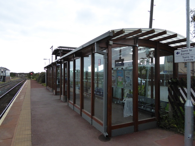
On the platform looking westwards at the shelter:
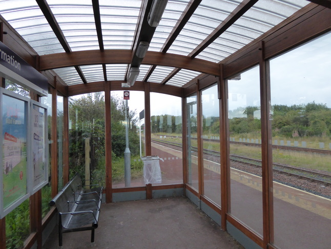
While the rain started to fall, a quick look inside one of the two halves of the waiting shelter:
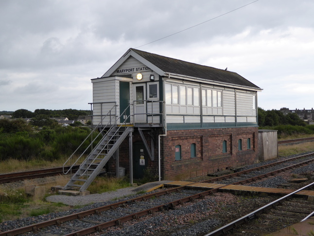
The signalbox stands just to the west of the station:
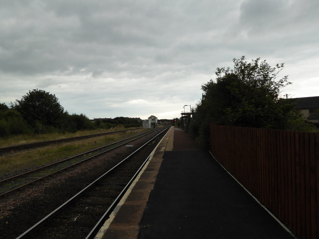
At the eastern end of the platform looking back towards the shelter and signalbox:
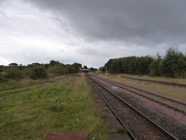
Looking east along the line from the end of the platform:
Curzon Street crosses the line to the west of the station. From the bridge looking east towards the signalbox:
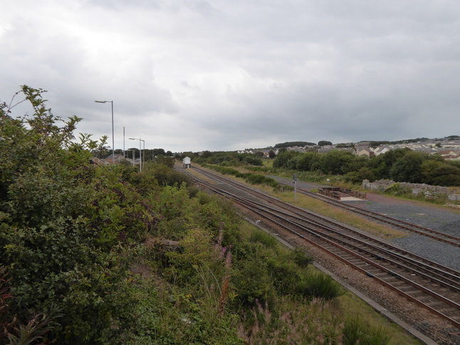
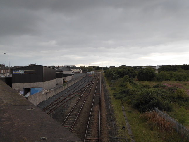
Looking west along the line from the road bridge:
All photographs are © Alexandra Lanes You may reproduce them anywhere for any purpose. Coastline maps are reproduced from Ordnance Survey map data by permission of the Ordnance Survey © Crown copyright 2001