

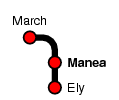
Manea
| CRS Code | MNE |
| Collected date | 27/06/11 |
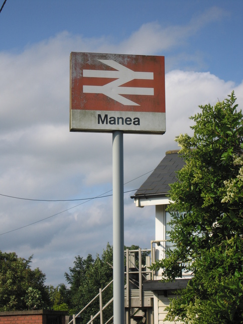
Manea station only has a very limited service, but survived closure because in this part of the world the railway may be the only passable way into the village when the roads are flooded. The service isn't great, though; two trains a day in each direction.
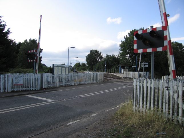
Starting at the level crossing, looking north:
Looking south along the road:
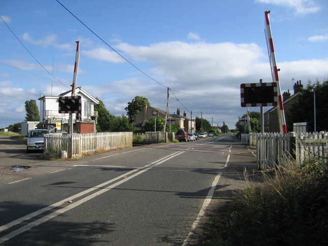
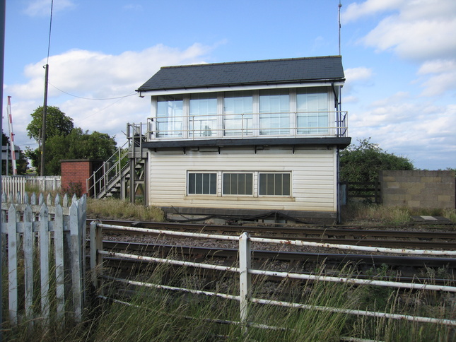
Just to the east of the line and level crossing is the signalbox:
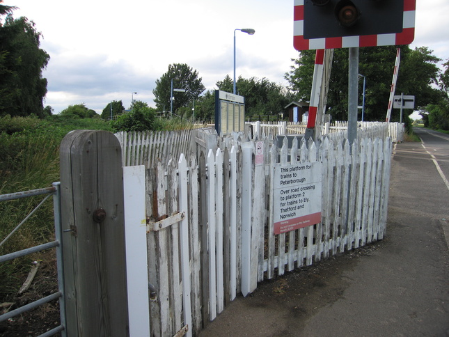
The entry to platform 1 from the road:
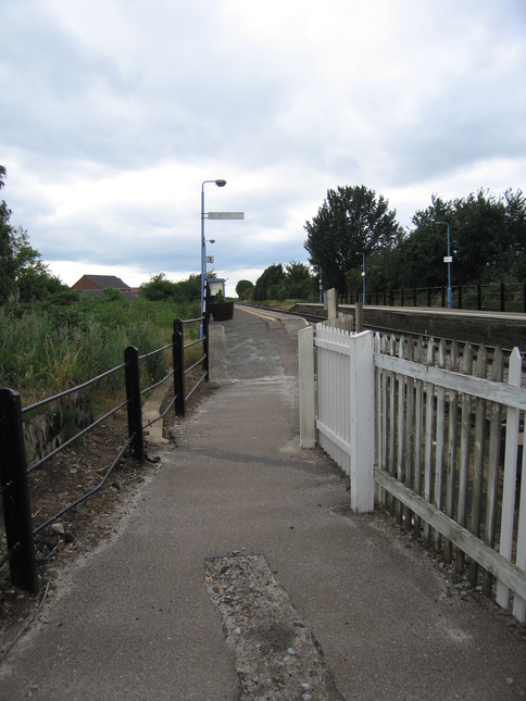
The ramp up to platform 1:
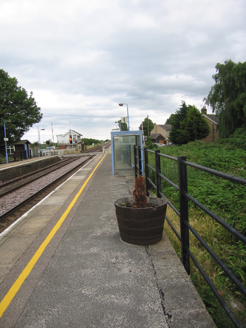
On platform 1, looking north:
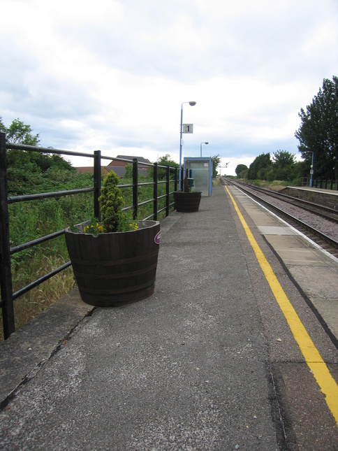
Looking south along platform 1:
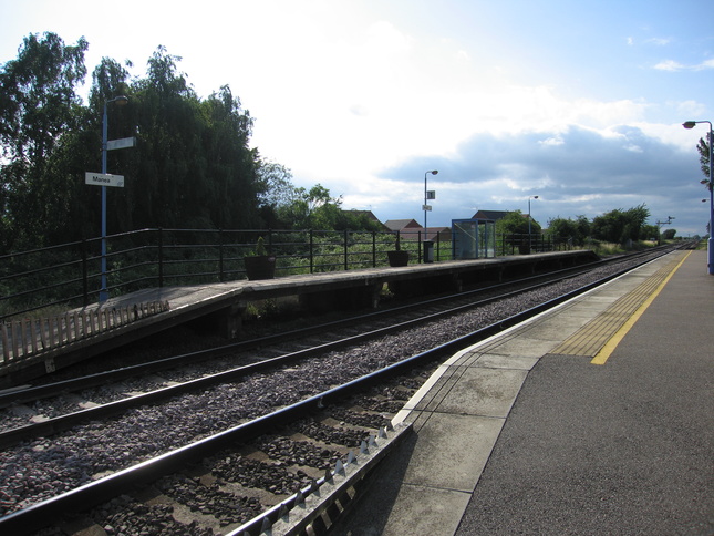
From the foot of platform 2 opposite, a view of both platforms:
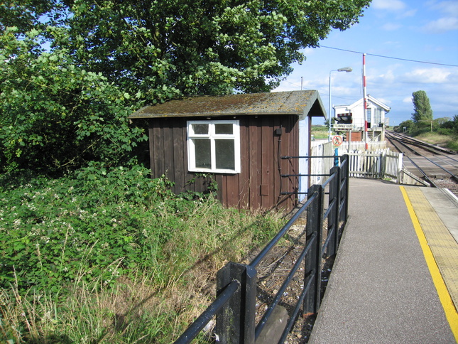
On platform 2, the small wooden shelter:
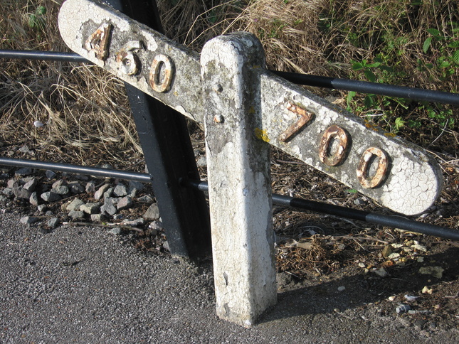
This gradient marker is on platform 2, showing that there's not much in the way of gradient around these parts:
Looking south on platform 2:
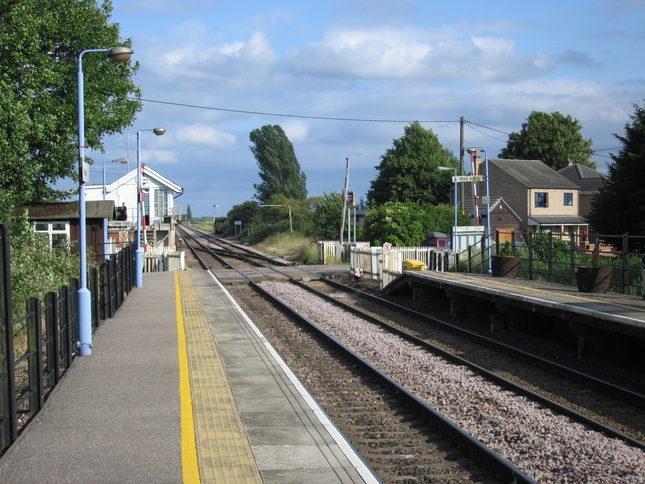
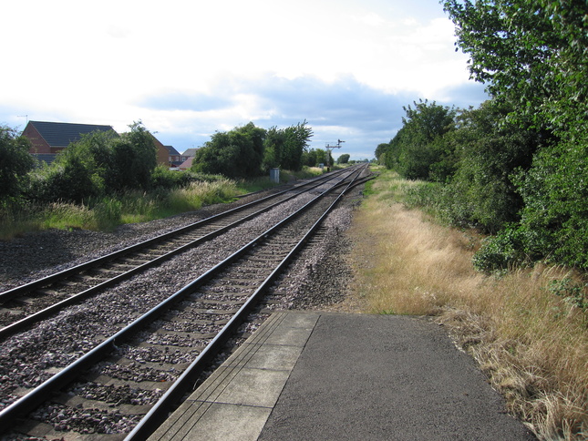
Looking north along the line from the end of platform 2:
All photographs are © Alexandra Lanes You may reproduce them anywhere for any purpose. Coastline maps are reproduced from Ordnance Survey map data by permission of the Ordnance Survey © Crown copyright 2001