

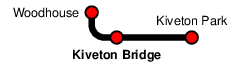
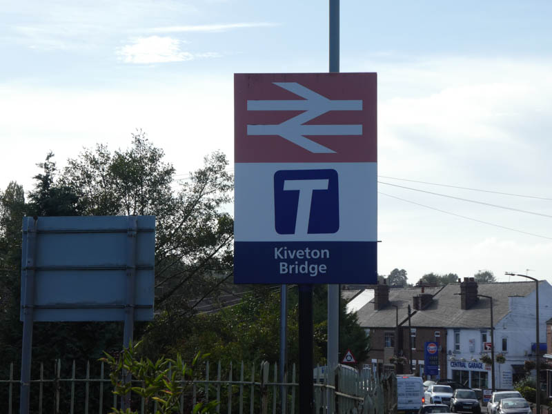
Kiveton Bridge
| CRS Code | KIV |
| Collected date | 19/09/18 |
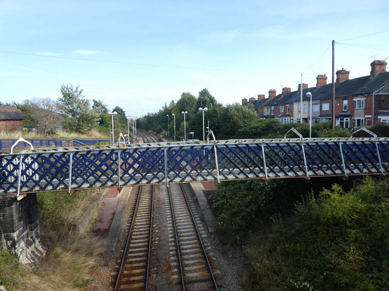
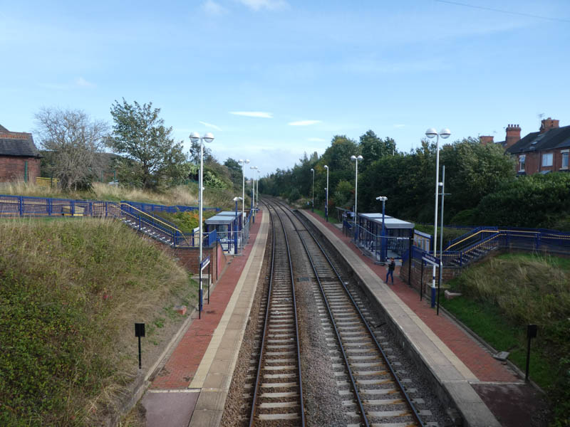
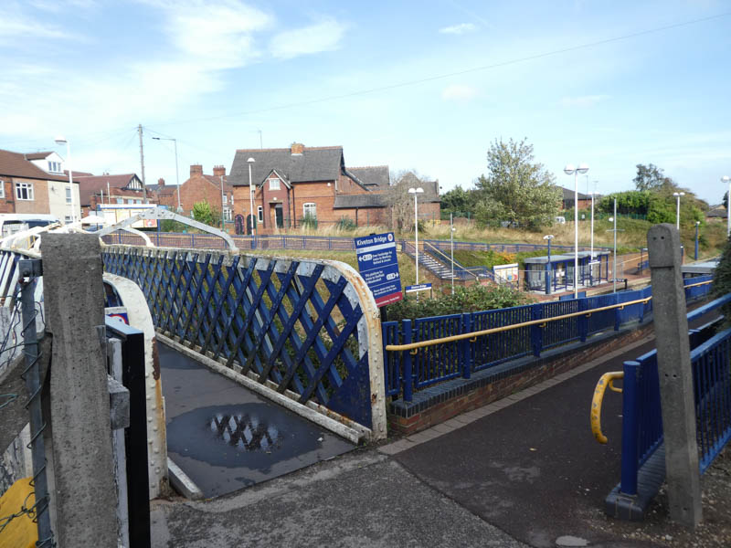
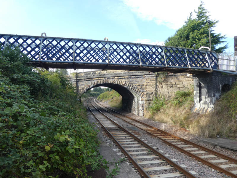
The footbridge, seen from the road bridge, with the station platforms beyond:
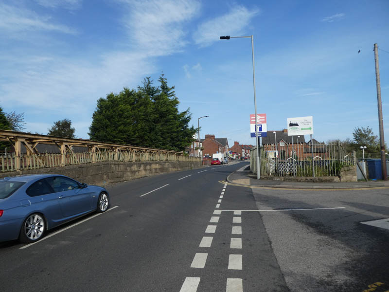
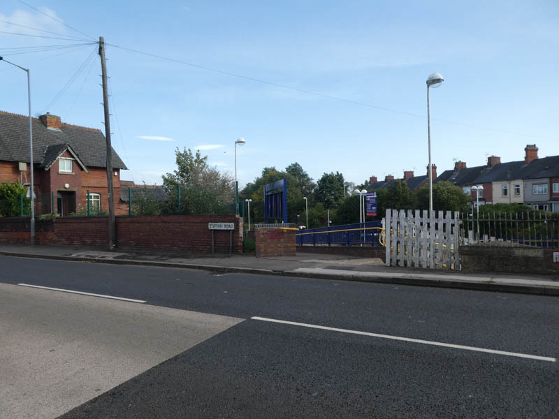
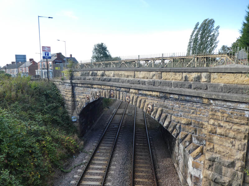
On the road bridge with the station entrance on Colliery Road to our right:
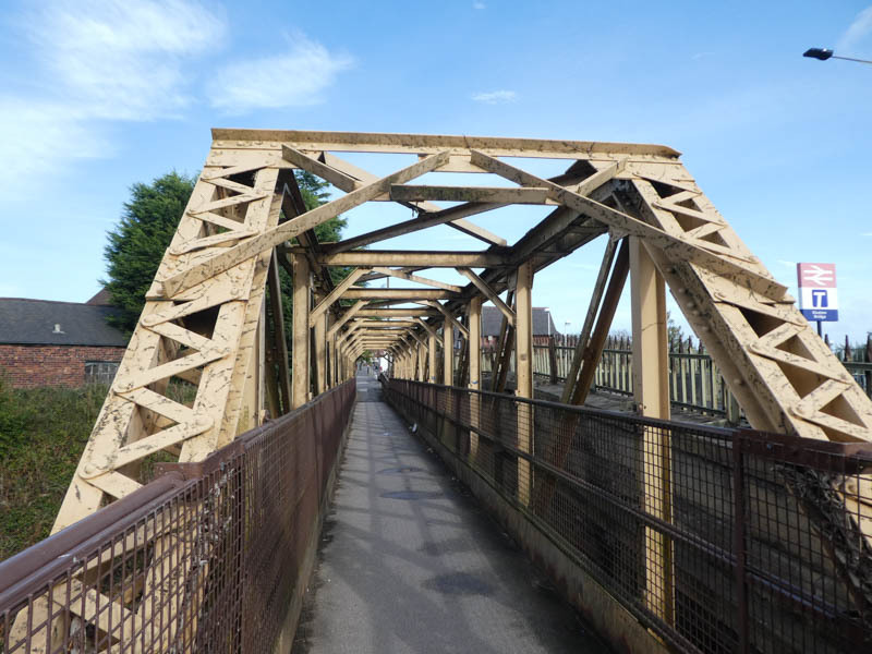
Alongside the road bridge runs a metal footbridge:
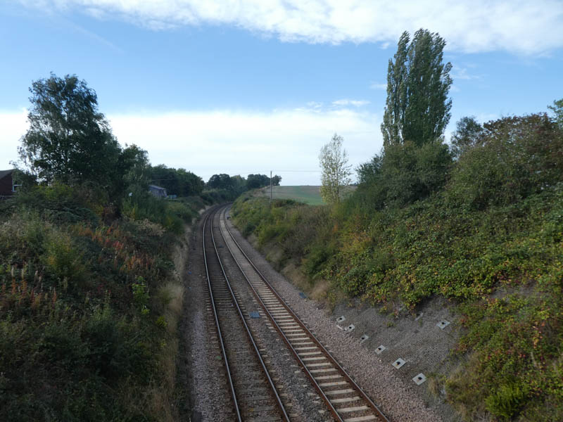
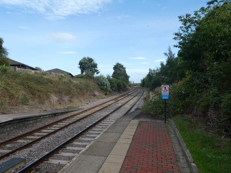
Looking west from the metal footbridge along the line:
The entrance to platform 1, for eastbound services towards Worksop, Retford, and Lincoln:
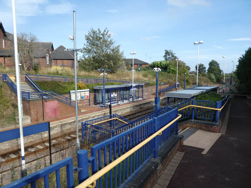
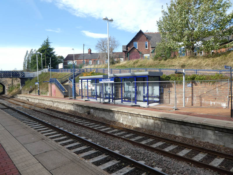
Looking east from the footbridge at the station's two platforms and shelters:
Looking west from the footbridge at the road bridge:
The entrance to both platform 2 to the right, and the footbridge leading to platform 1 on the other side:
Platform 1 seen from platform 2 opposite, showing the ramp and stepped entrance common to both sides:
Looking east along the line:
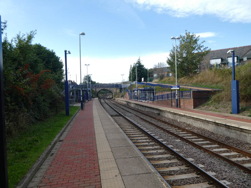
Looking west from the end of platform 2:
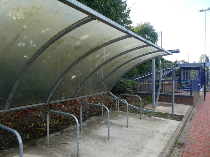
A mossy bike shelter, and behind it the (still barriered off when we visited) shiny new human shelter:
The shelters (and protective barriers) on platform 1:
Looking west from the end of platform 2 at both the footbridge and road bridge beyond it:
All photographs are © Alexandra Lanes You may reproduce them anywhere for any purpose. Coastline maps are reproduced from Ordnance Survey map data by permission of the Ordnance Survey © Crown copyright 2001