


Kennett
| CRS Code | KNE |
| Collected date | 31/12/12 |
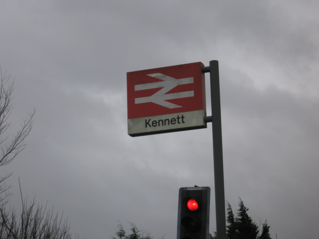
It was the last day of 2012 and I felt like getting out and doing something so I cycled the 25-odd miles from Cambridge to Kennett. It was a grey and windy day, but the wind was mostly behind me and it didn't really rain until I got on the train home!
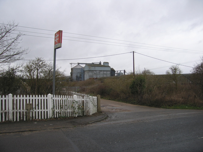
The turnoff from the road to the station:
The approach down a slightly potholed road to the station forecourt area:
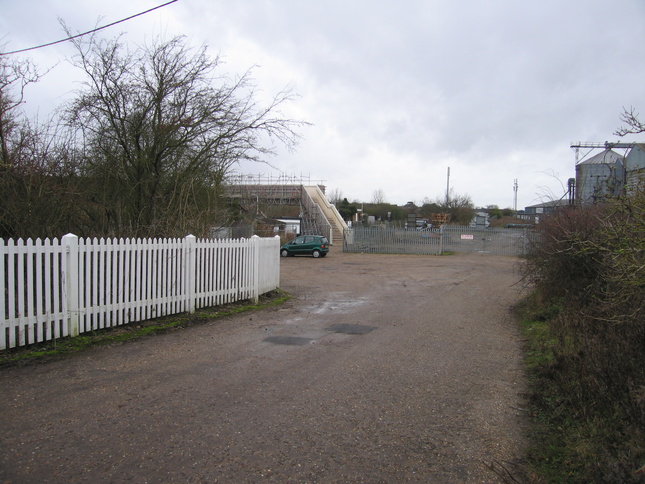
The station area is a mass of metal fencing and is dominated by the scaffold-constructed footbridge:
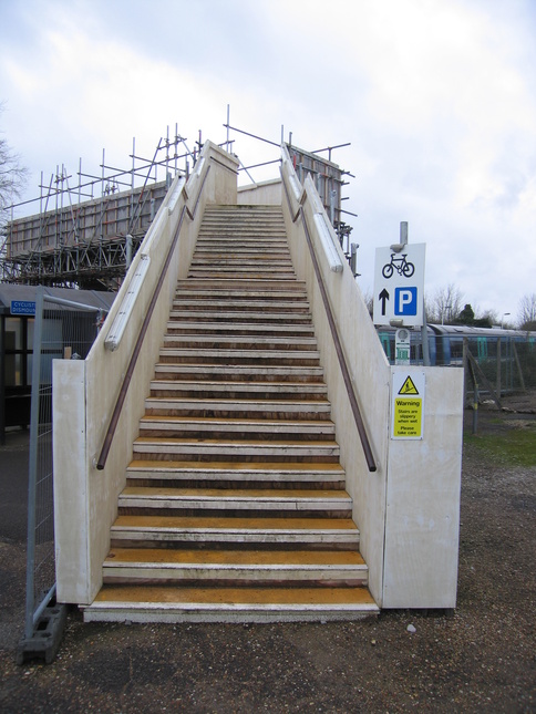
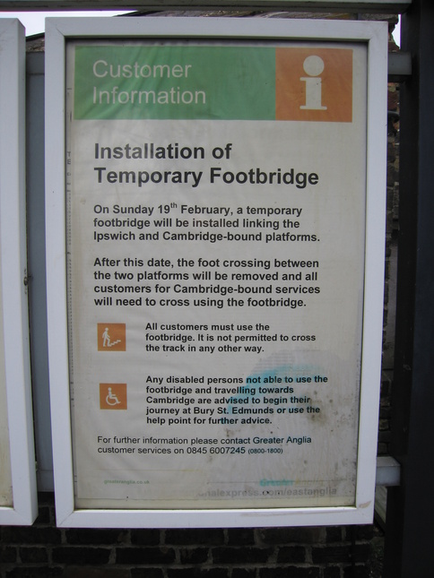
The footbridge is temporary according to this notice, although it had evidently been there for at least ten months by this point:
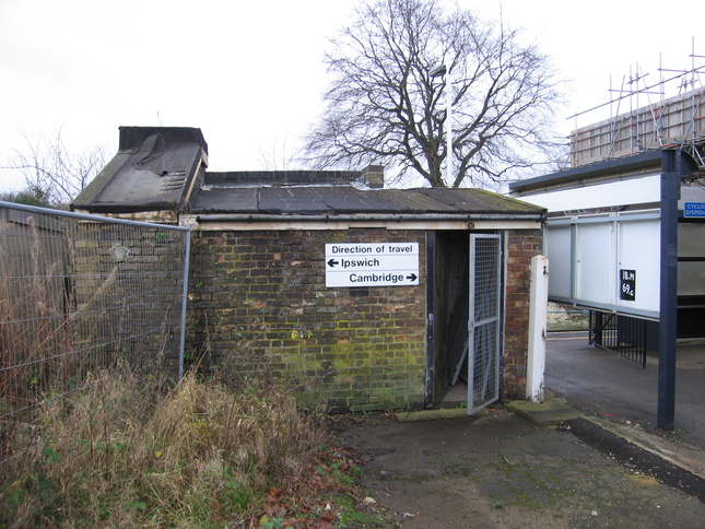
The small building on the northern, platform 1, side:
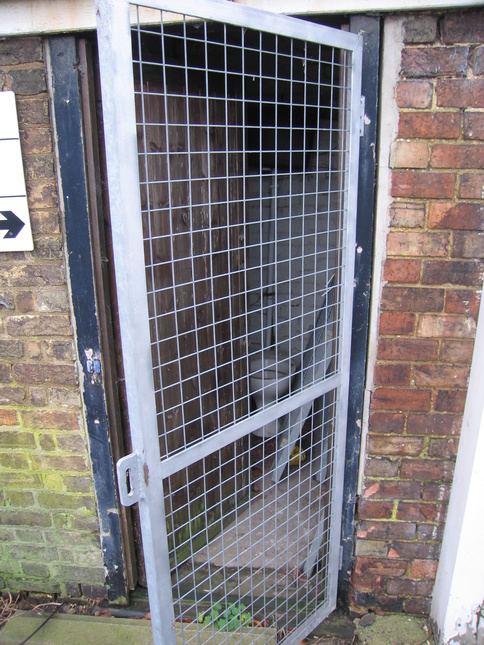
Inside, but not looking very usable, is a toilet:
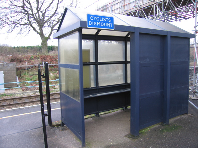
The shelter on platform 1:
On platform 1, looking east at the road bridge:
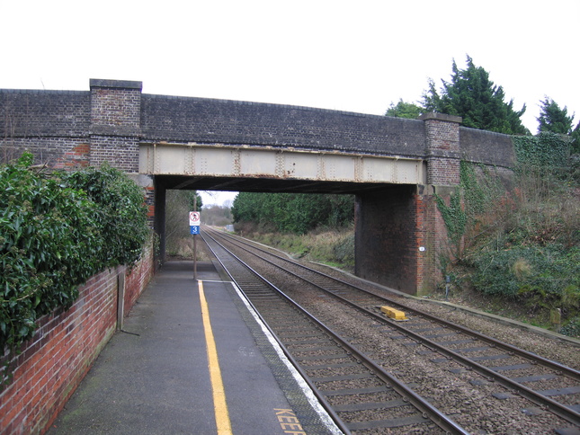
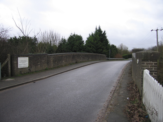
The road bridge itself, looking south along the road. The bridge is narrow so is made single-lane with traffic lights. Just beyond it is the bridge over the A14 whose noise dominates the area:
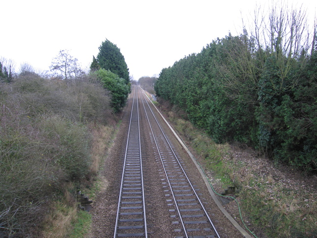
From the road bridge, looking east:
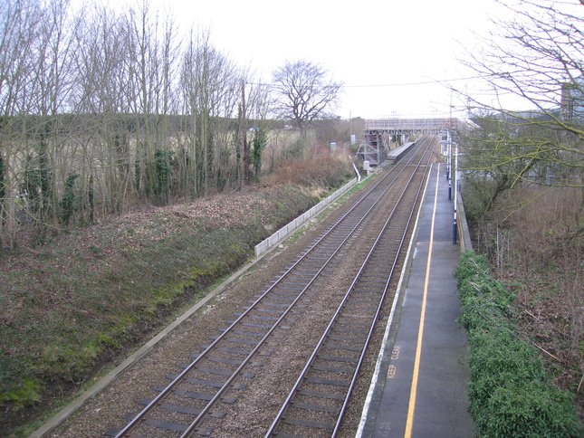
Looking west at the station site from the road bridge:
From the western end of platform 1 you can see where the removed foot crossing was leading to platform 2:
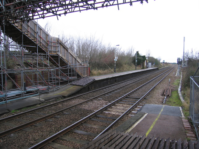
Over the footbridge (not so easy with my bike!) and on platform 2, looking eastwards:
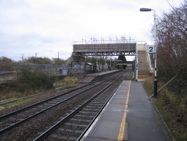
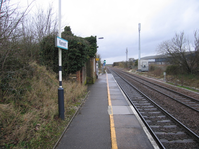
Looking west along platform 2. The station building is out of use and completely covered in ivy. You can see the ivy-covered chimney poking up at the top:
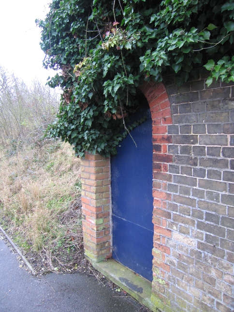
The doorway into the building:
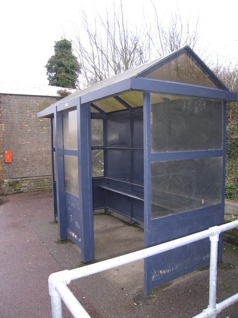
The platform 2 shelter, just west of the old building:
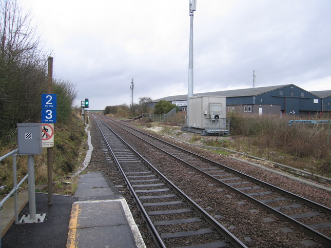
Looking west along the line from the end of platform 2:
All photographs are © Alexandra Lanes You may reproduce them anywhere for any purpose. Coastline maps are reproduced from Ordnance Survey map data by permission of the Ordnance Survey © Crown copyright 2001