
Gargrave
| CRS Code | GGV |
| Collected date | 16/09/15 |

Gargrave station is on the line between the southern end of the Settle to Carlisle line and West Yorkshire, arriving finally at Leeds. After a day cycling in the Dales it was an afternoon for gently exploring on foot.
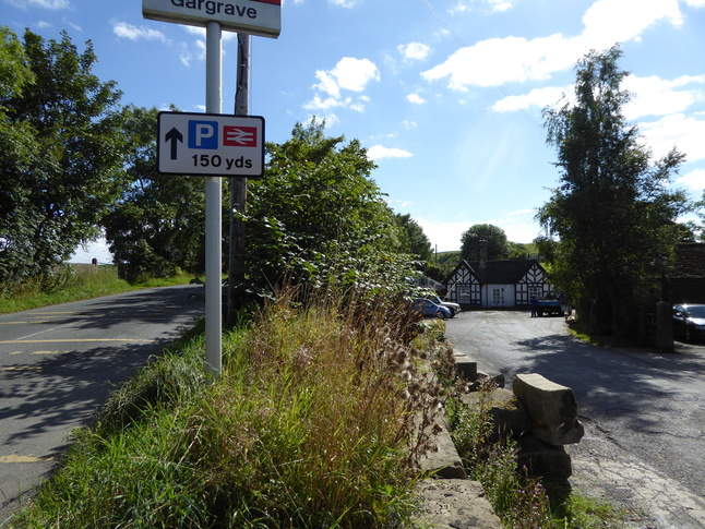
The station is a little way south of Gargrave itself, where the road forks, with one fork approaching the station and one going on a bridge over the line:
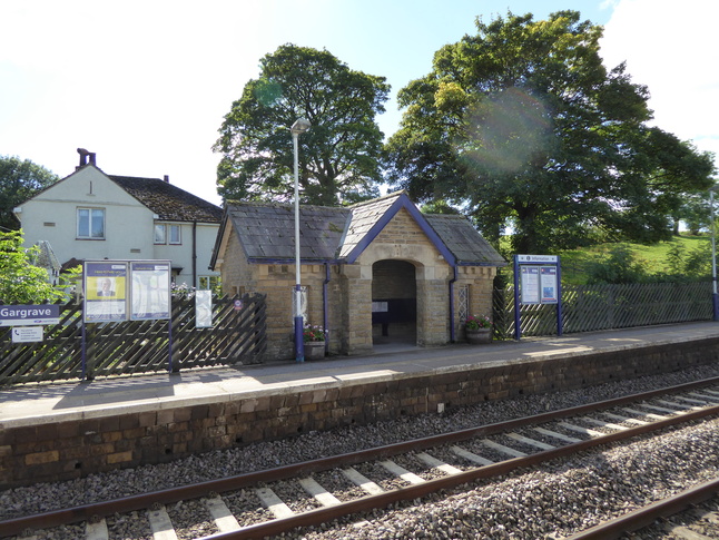
The approach to the station building on the platform 1 side of the station:

The building front:

To the east of the station building a path leads to platform 1:

The entrance leads on to platform 1, seen here from platform 2 opposite:

On platform 1 looking at the rear of the station building. The station building is itself in private hands, so there is a small shelter building for passengers:

Looking east along platform 1:

Looking west along the line from the end of platform 1:

Just east of the entrance to platform 1 is the road bridge which crosses the line:

The platform continues under the bridge, at which we look from the other side:

Looking east along the line from the end of platform 1:

The bridge is the only way to get to the other side of the station, so up we go. Looking east along the line from the bridge:

Looking west at the station site from the bridge:

The entrance from the bridge to platform 2:

Looking at the steps up to the bridge from platform 2:

The bottom of the steps leading on to platform 2:

The building on platform 2:
Inside the shelter on platform 2:

All photographs are © Alexandra Lanes You may reproduce them anywhere for any purpose. Coastline maps are reproduced from Ordnance Survey map data by permission of the Ordnance Survey © Crown copyright 2001