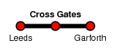
Cross Gates
| CRS Code | CRG |
| Collected date | 17/05/10 |
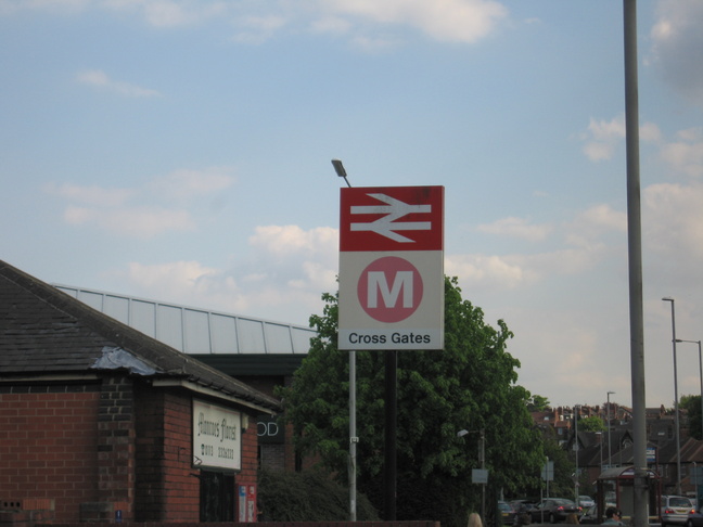
Cross Gates station serves an eastern suburb of Leeds, on a line leading east out of Leeds station itself.
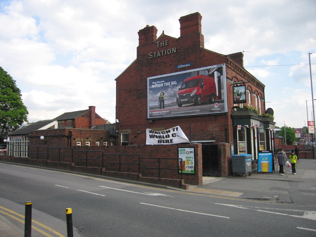
The pub to the north of the line - once connected to the station?
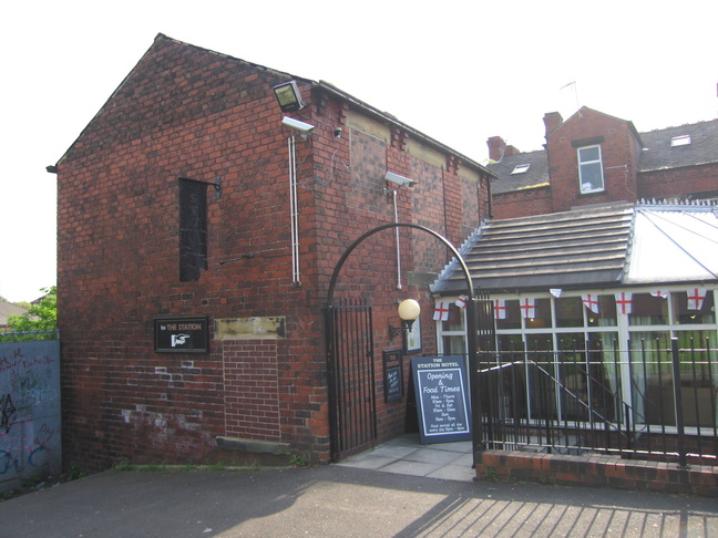
Round the back of the building there's a much more likely candidate for station building, on the left:
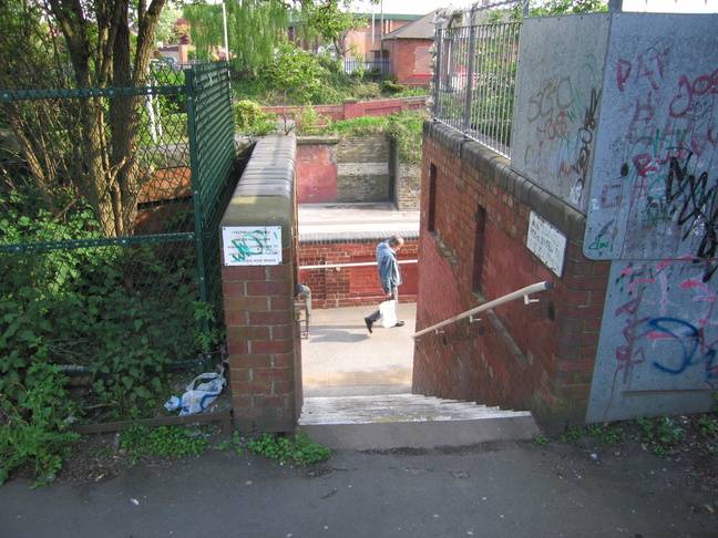
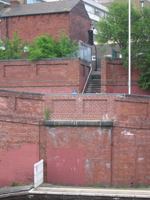
Steps down just to the left of the previous photograph. The sign on the left tells of a closed footbridge, of which there are still traces:
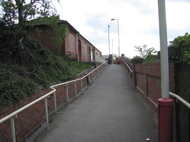
The steps lead out onto a ramp up to the front of the station pub:
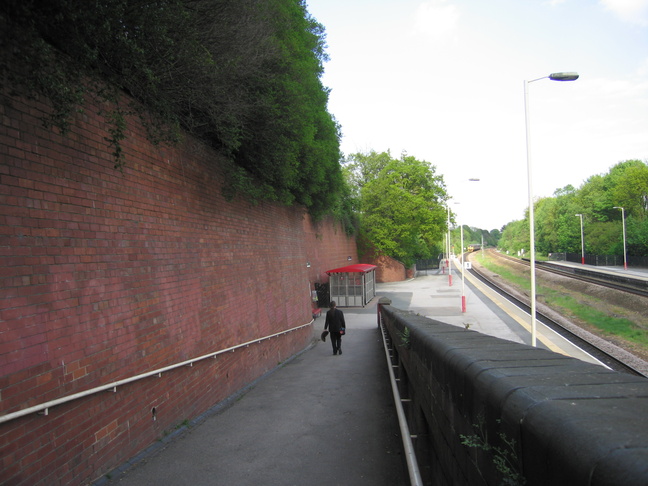
Looking east down the ramp towards platform 1:
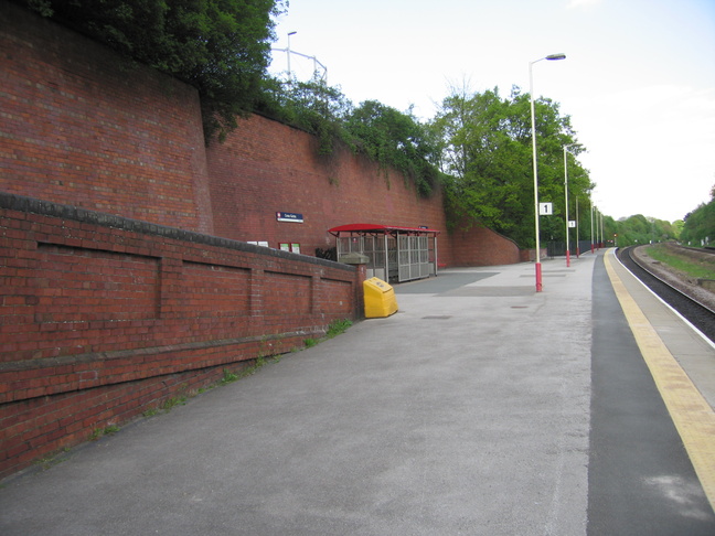
On platform 1:
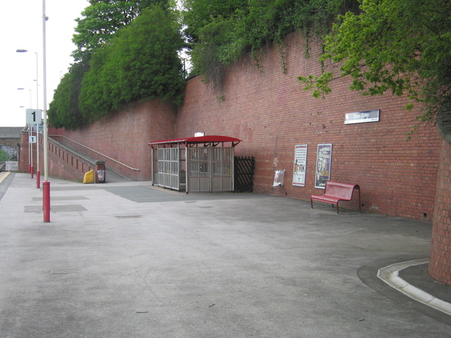
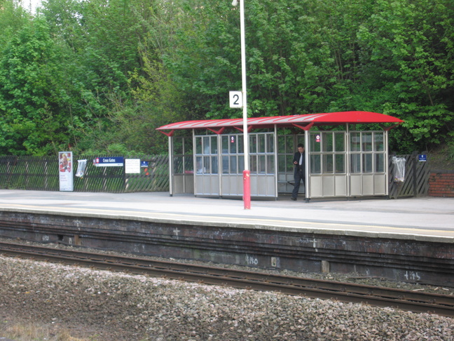
The shelter and waiting area on platform 1:
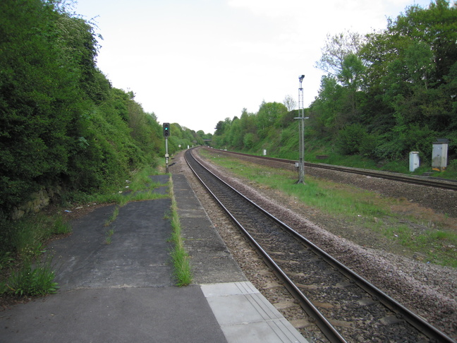
Looking west at platform 1 from its eastern end:
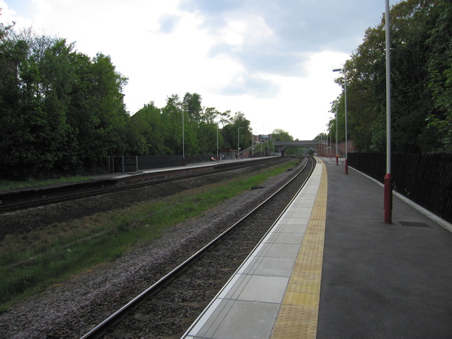
Looking east along the line from the eastern end of platform 1:
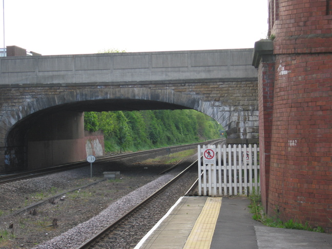
Looking at the road bridge at the western end of platform 1:
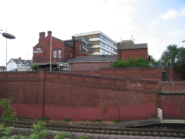
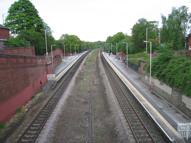
The road bridge is the route connecting the two sides of the station, and gives a good view of the whole station:
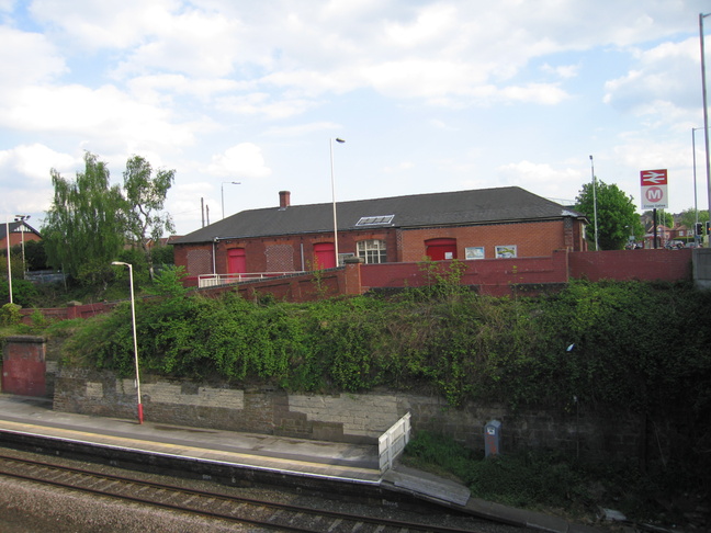
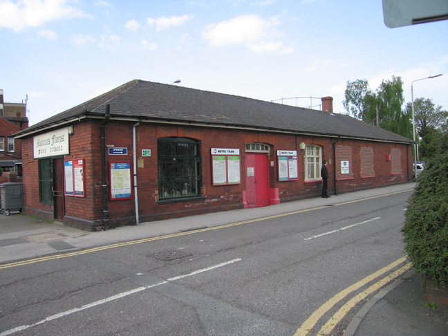
The building on the southern side of the station is one that can be seen in older photos of the station, serving originally as booking offices:
The front of the building on the south side, facing onto "Station View":
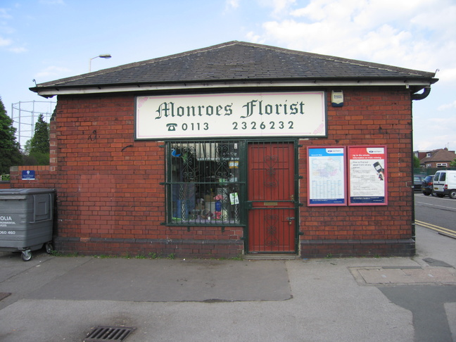
This view of the side of the building shows its new use:
The rear of the building:
Mimicking a 1905 shot, we look back towards the road on the ramp leading down to platform 2:
In the 1905 version of the previous photo, a footbridge led off to the right to link up with platform 1 opposite. This bridge was closed in the 90s and removed in 2008, but evidence remains. This new brick, and a patch opposite, mark where the bridge was:
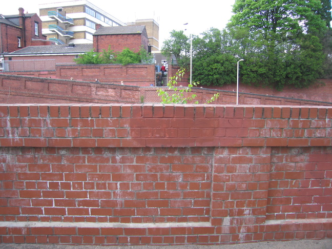
A closer look at the brickwork and pier of the old bridge:
The shelter on platform 2:
All photographs are © Alexandra Lanes You may reproduce them anywhere for any purpose. Coastline maps are reproduced from Ordnance Survey map data by permission of the Ordnance Survey © Crown copyright 2001