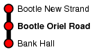
Bootle Oriel Road
| CRS Code | BOT |
| Collected date | 01/07/13 |
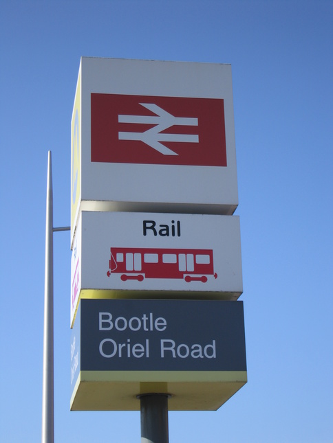
Bootle Oriel Road is the more southern of the two Bootle stations and serves a residential area near the Town Hall.
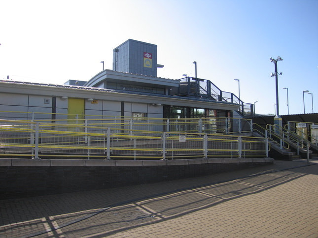
The front of the station, facing on to Oriel Road:
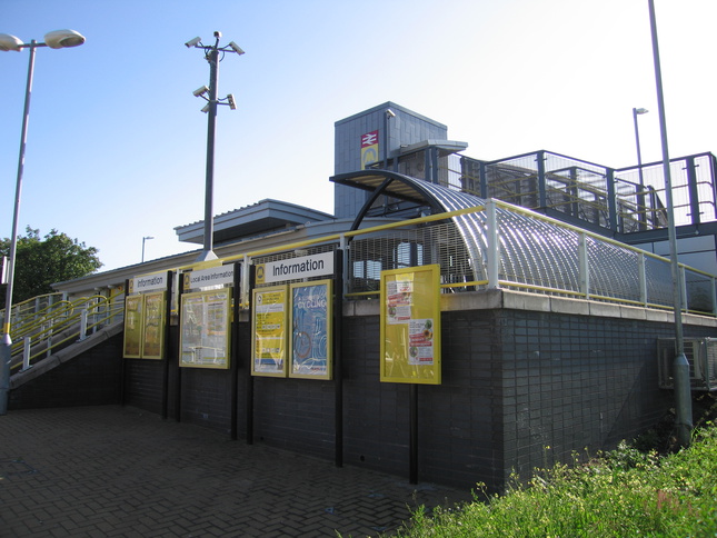
The information boards are at street level, a little below the rest of the station which is on an embankment:
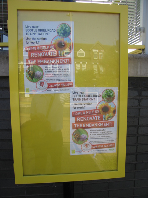
One of the information boards is seeking volunteers to "green up" the embankment:
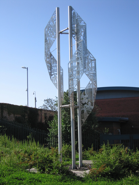
A sculpture just to the north of the station forecourt:
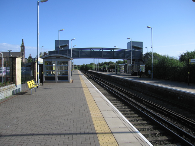
On platform 1, looking south towards the footbridge:
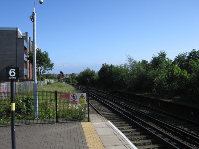
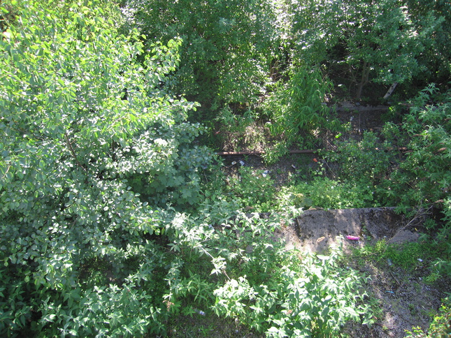
At the northern end of platform 1. The old platform edges continue some way past the end of the current platforms:
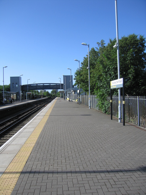
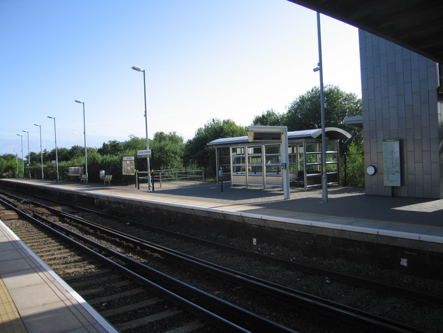
Down at the other end of platform 1 looking north:
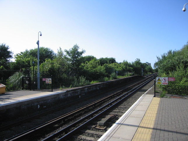
Looking south from the end of platform 1:
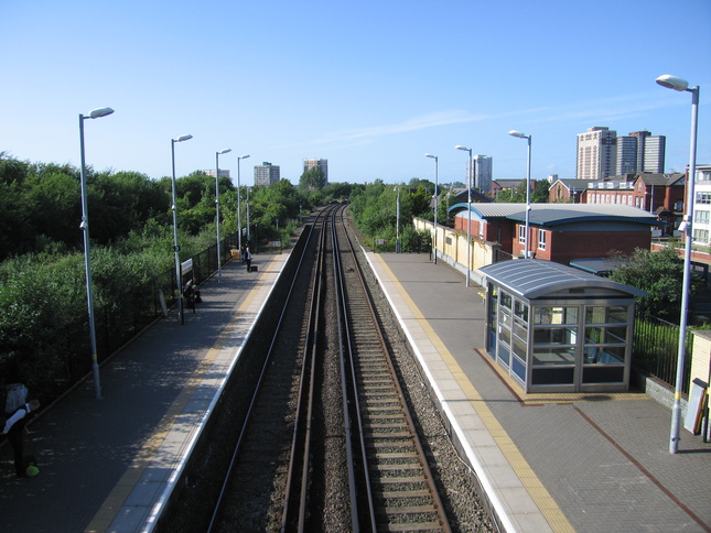
A footbridge crosses the track to the northbound platform 2. The view north from the footbridge:
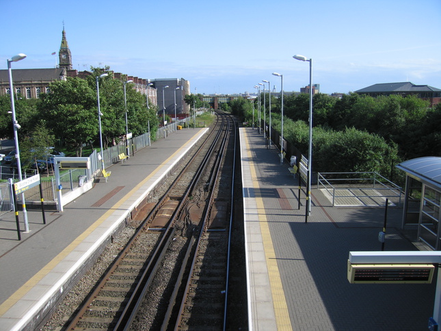
Looking south from the footbridge:
Platform 2, seen from platform 1:
Platform 2 used to be one side of an island platform, and the other side can just be seen from the steps up to the footbridge:
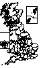
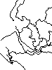
All photographs are © Alexandra Lanes You may reproduce them anywhere for any purpose. Coastline maps are reproduced from Ordnance Survey map data by permission of the Ordnance Survey © Crown copyright 2001