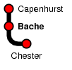
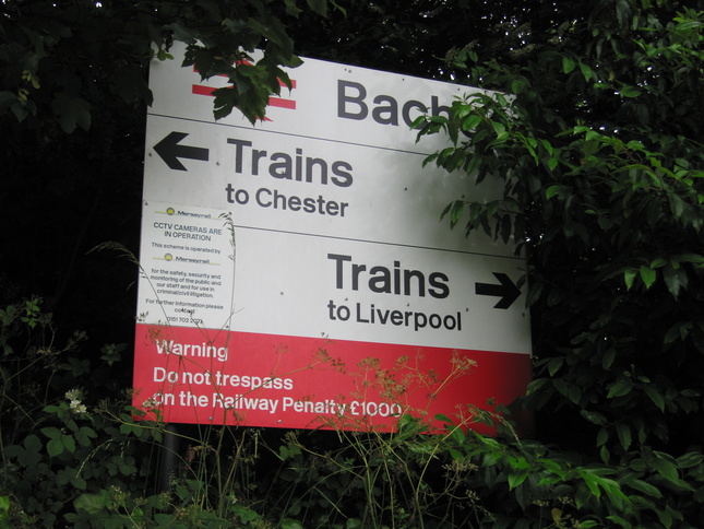
Bache
| CRS Code | BAC |
| Collected date | 03/07/13 |
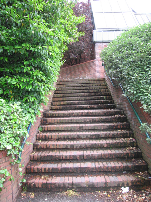
Bache station serves a suburb of Chester and dates from the 1980s. The steps up to platform 1 from Mill Lane to the north of the station:
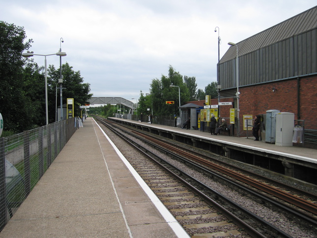
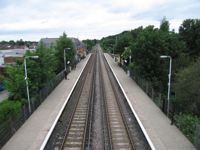
On the platforms at Bache, looking south, with platform 1 on the right:
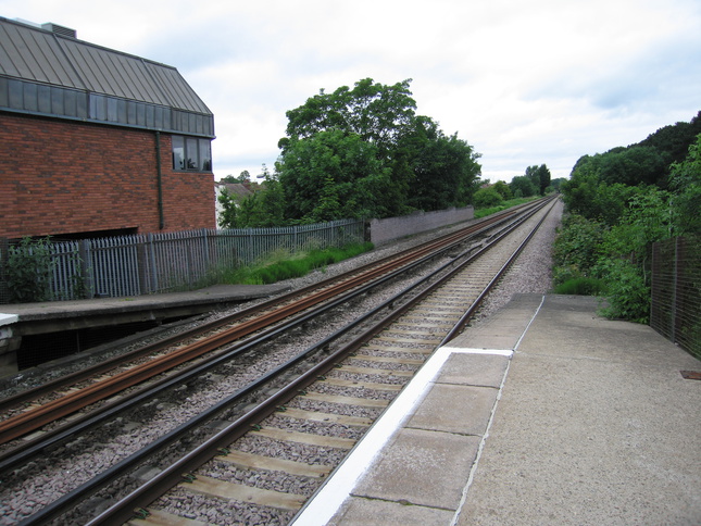
Looking north along the line:
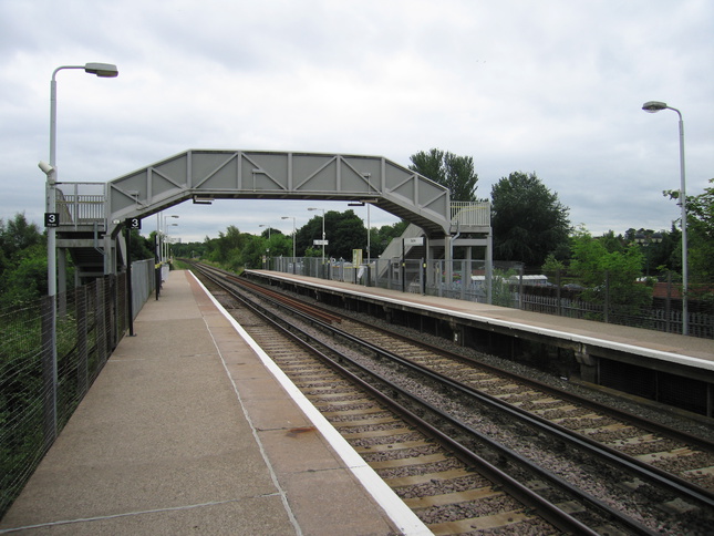
Looking south on platform 2 at the footbridge:
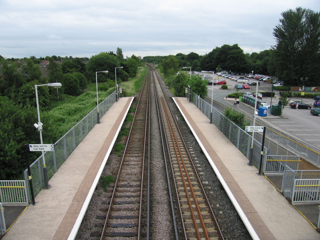
Looking north from the footbridge:
Looking south from the footbridge:
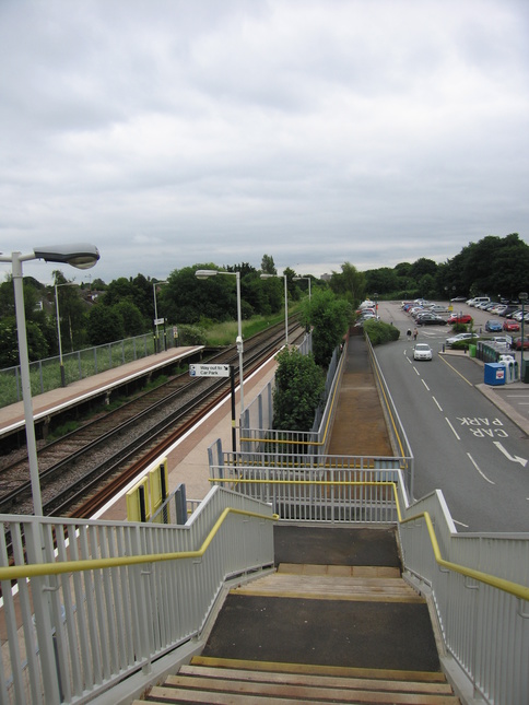
Looking south down the steps from the footbridge to platform 2:
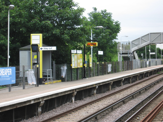
Platform 2:
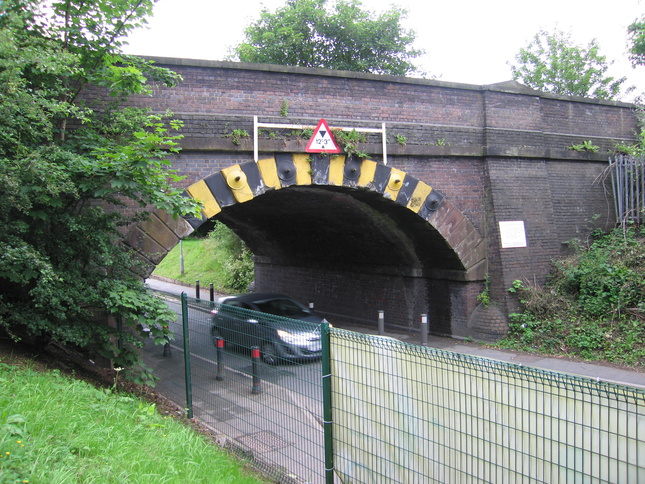
The railway crosses the road at the station's north end via this bridge, which has obviously seen its fair share of bashes:
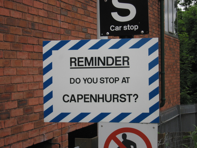
Finally at the northern end of platform 2, this sign is evidence that drivers don't always remember where they're supposed to stop:
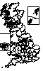
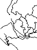
All photographs are © Alexandra Lanes You may reproduce them anywhere for any purpose. Coastline maps are reproduced from Ordnance Survey map data by permission of the Ordnance Survey © Crown copyright 2001