

Waterloo (Merseyside)
| CRS Code | WLO |
| Collected date | 30/06/13 |
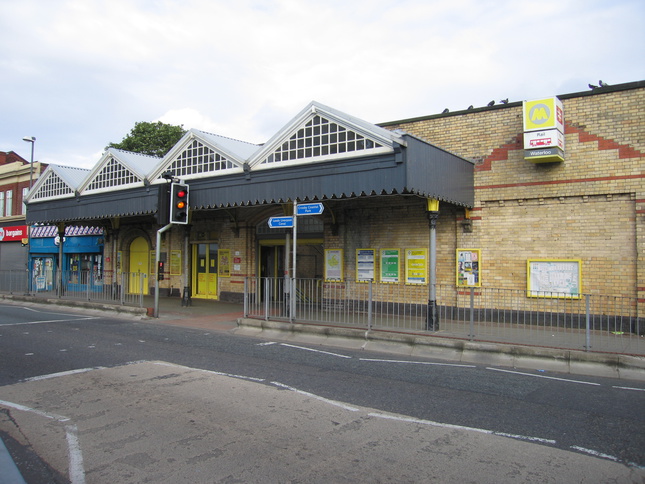
Waterloo station sits on a road bridge over the line. The front of the station building:
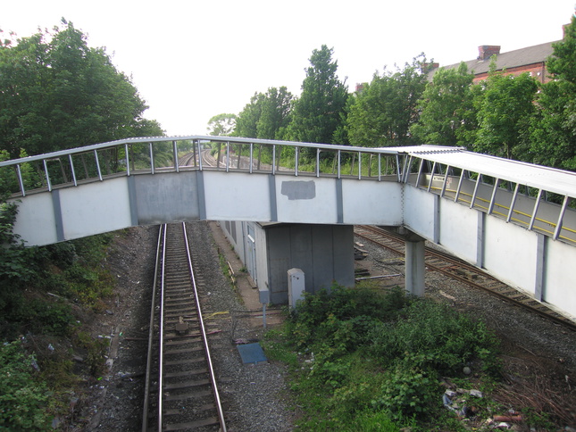
Although the station lies to the south of the road, to its north a ramp snakes up from platform level under the road and then over one of the tracks to a bus station. Looking north from the bridge at the ramp:
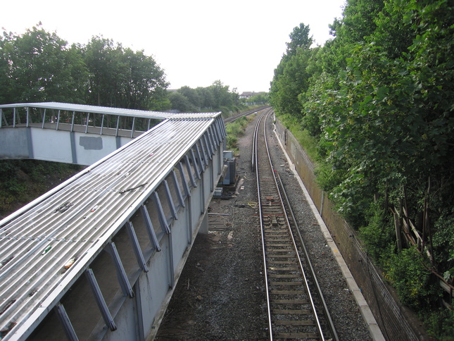
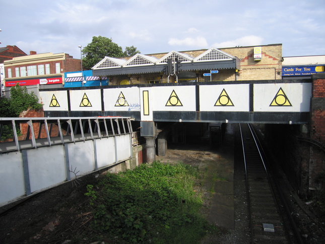
The bridge crosses the line:
On the bridge, looking south back at the road bridge and station frontage:
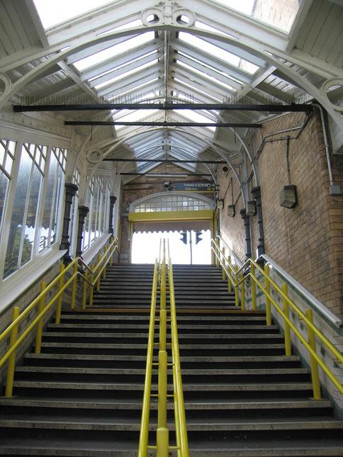
Steps down from road level to platform level:
The side of the steps up to road level:
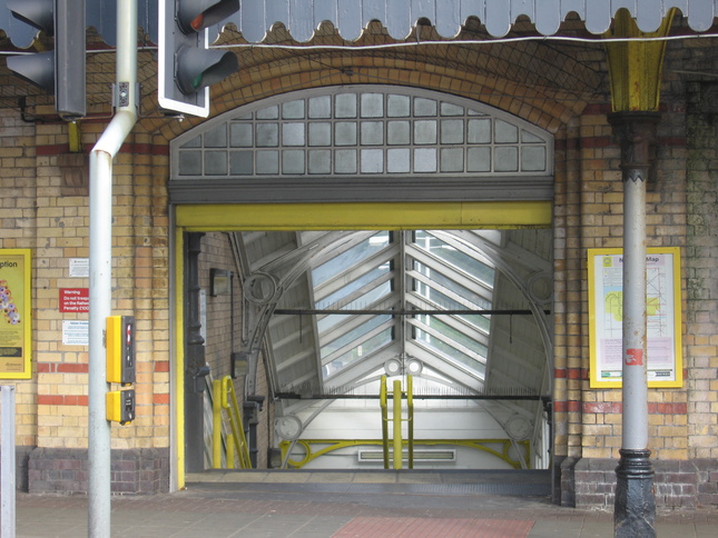
Looking up from the bottom of the steps:
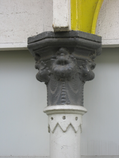
Detail of the top of one of the columns:
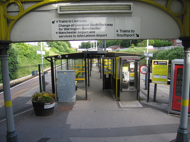
At the bottom of the steps one is funnelled into a shelter in the centre of the single island platform:
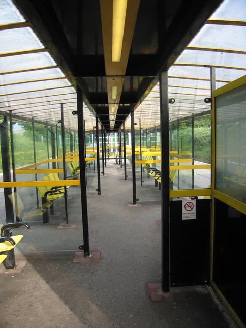
Inside the shelter:
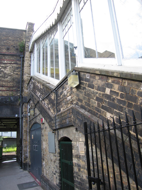
The rear of the station buildings from platform level. The tower on the right houses a lift:
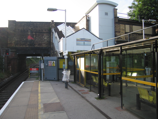
Looking north under the road bridge:
On platform 1, looking south:
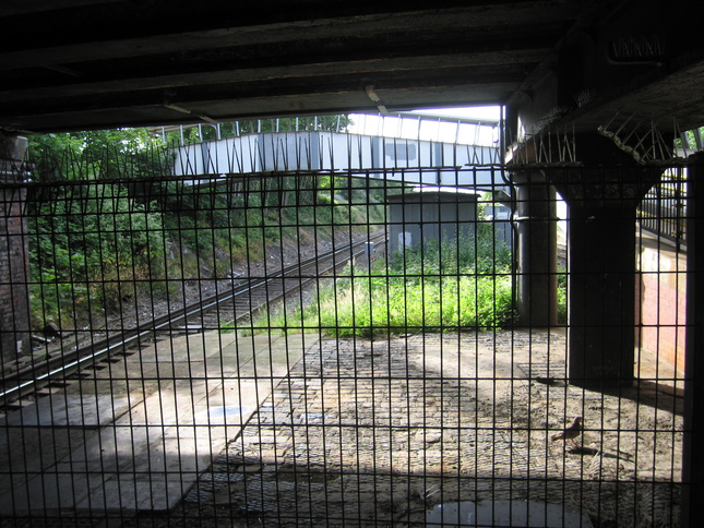
Looking north under the road bridge:
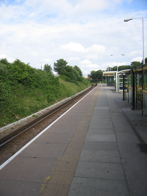
On the opposite platform 2, looking south:
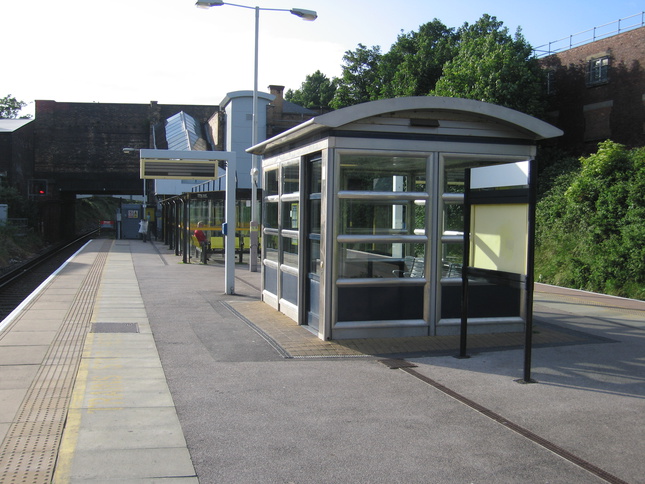
The shelters:
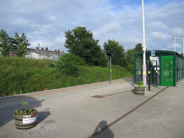
Looking south on the platform at the bike shelter:
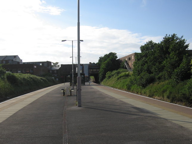
Looking north back at the rest of the station from the end of the platform:
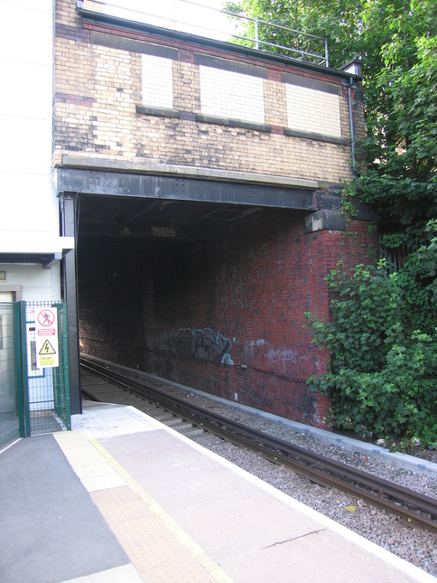
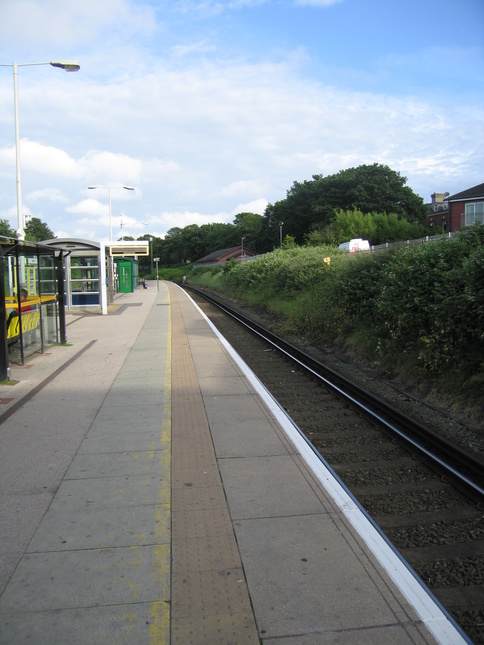
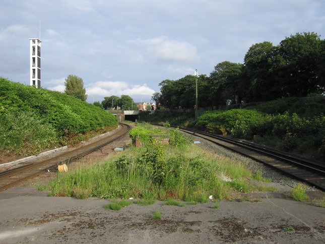
Looking south along the line from the end of the platform:
All photographs are © Alexandra Lanes You may reproduce them anywhere for any purpose. Coastline maps are reproduced from Ordnance Survey map data by permission of the Ordnance Survey © Crown copyright 2001