

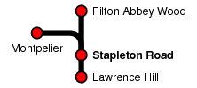
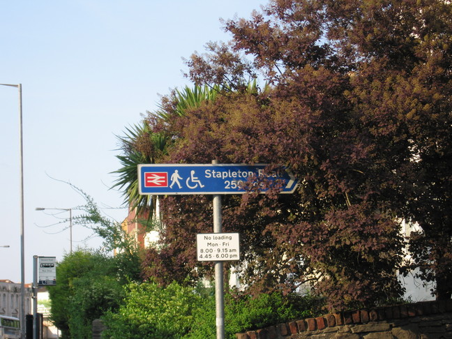
Stapleton Road
| CRS Code | SRD |
| Collected date | 13/05/08 |
Stapleton Road station is a small station in north Bristol, just south of the point where the Severn Beach Line branches off from the line north to Filton Abbey Wood. It formed the end of a day's journeying and we visited as the shadows were lengthening.
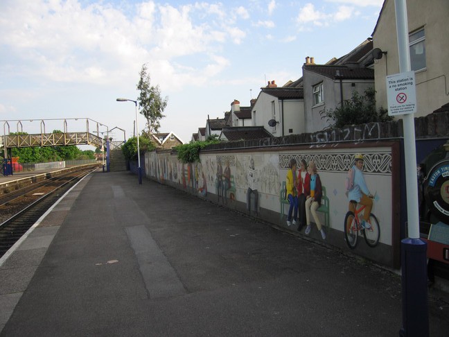
Platform 1 is decorated with this mural:
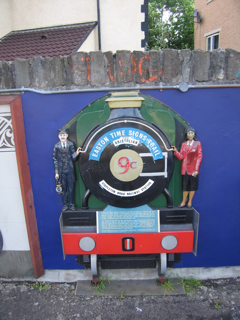
A plaque on platform 1 indicates the station's part in the Easton Time Signs Trail, a set of sites of historical, social, or industrial importance around this part of Bristol:
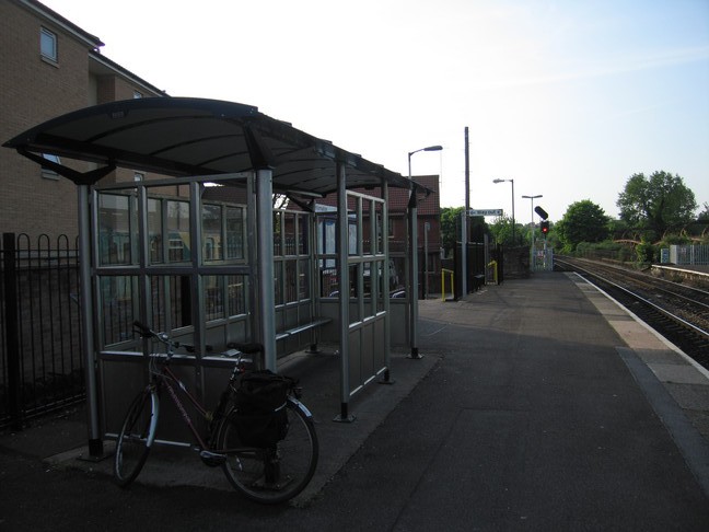
The shelter on platform 1, looking north:
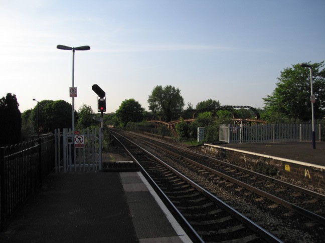
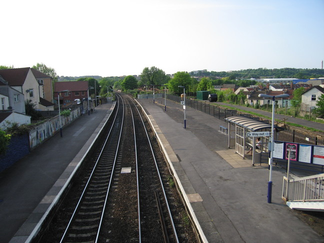
Looking north along the line from the end of platform 1:
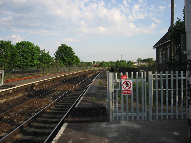
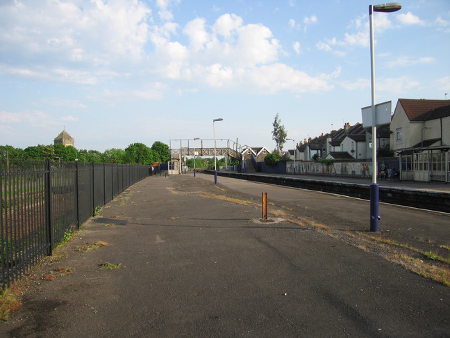
Access south beyond this point on platform 1 is prohibited even though the platform continues for some way:
A footbridge links platform 1 to the island platform 2:
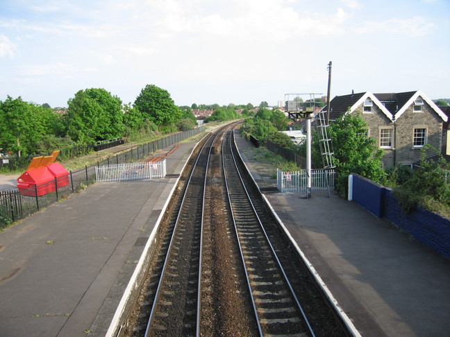
The view north along the line from the footbridge:
The view south from the footbridge:
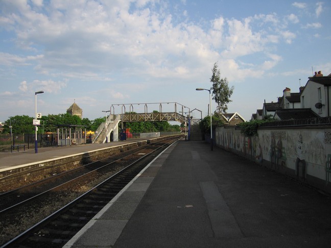
On platform 2, looking south towards the footbridge:
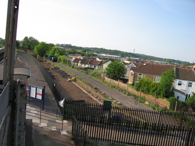
The footbridge is cut short. It once spanned a second set of tracks, and the trackbed is still visible today, though it now hosts a local convention of metal benches...
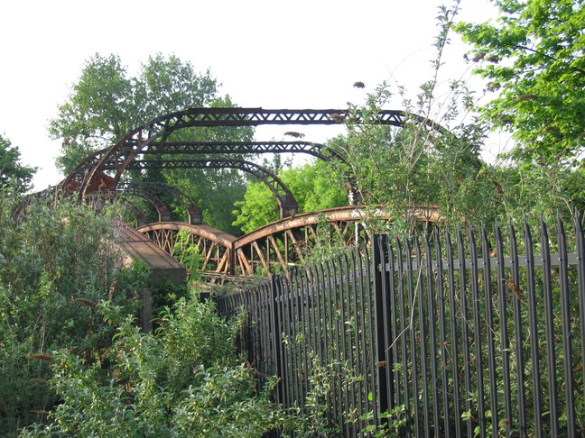
At the northern end of the disused trackbed is this disused bridge:
All photographs are © Alexandra Lanes You may reproduce them anywhere for any purpose. Coastline maps are reproduced from Ordnance Survey map data by permission of the Ordnance Survey © Crown copyright 2001