

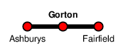
Gorton
| CRS Code | GTO |
| Collected date | 12/09/16 |
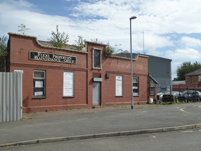
Gorton station is in the eastern suburbs of Manchester and is almost entirely modern. I don't know whether this building, opposite the station entrance, is actually formerly associated with the railway:
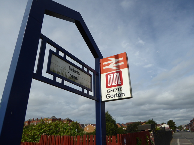
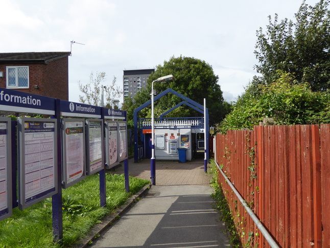
Opposite this building is the metal archway leading to the current station:
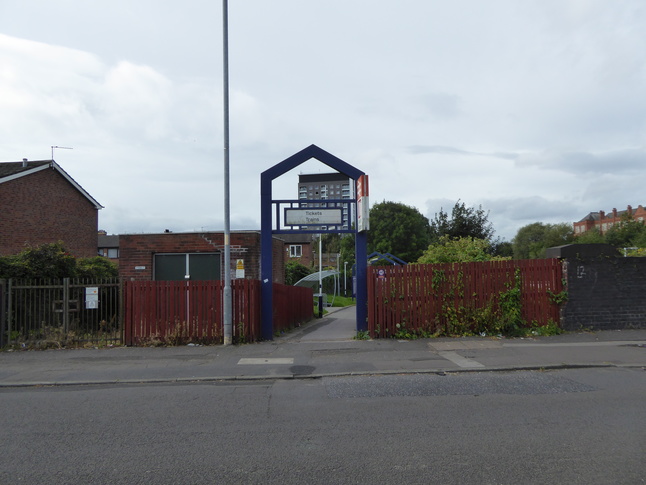
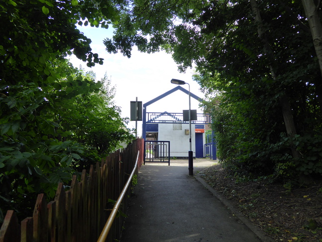
A path leads down to the station building, which has a part-time ticket office:
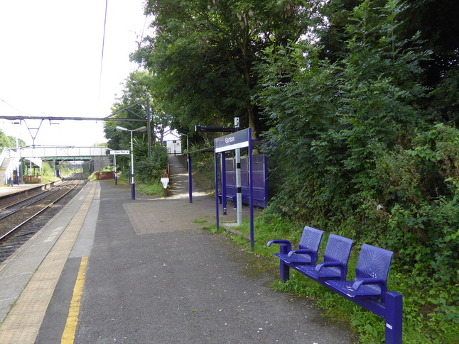
Walking through the station building (or round it when the ticket office is closed) we look at its rear. To the left where the fence is ahead of us is the station footbridge:
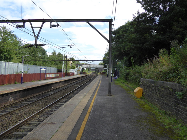
The path behind the station building leads down to platform 1, for trains in the Manchester direction:
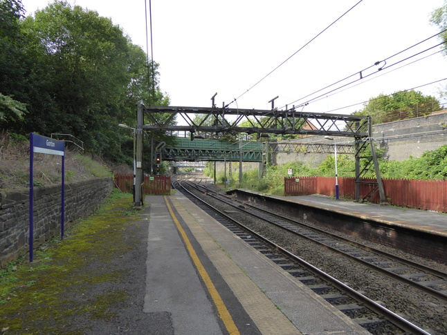
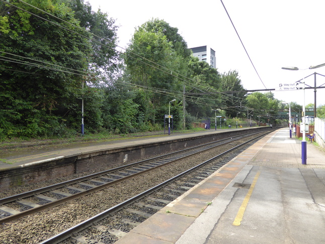
Further down platform 1 looking east along the length of the platform:
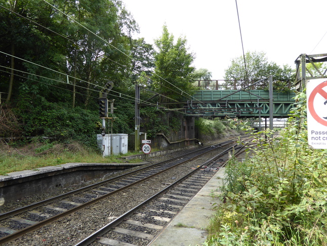
Looking west from this point we can see another bridge where a path and pipe cross the line:
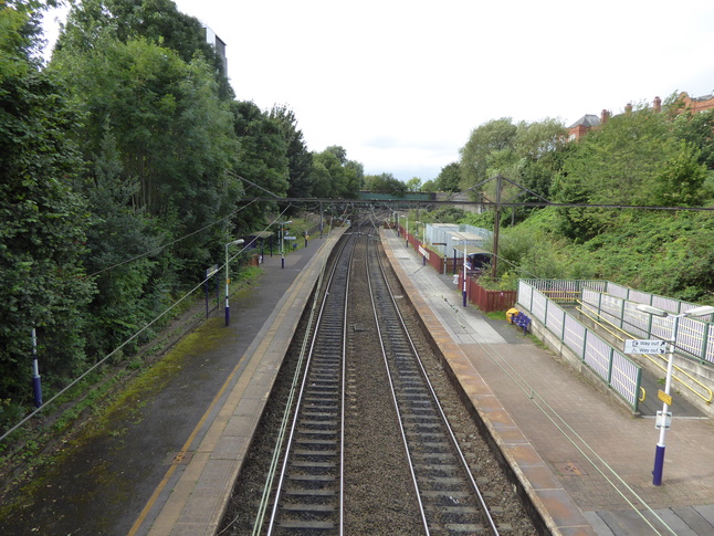
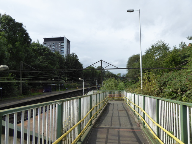
Back on the footbridge, we look west at the station's platforms, platform 1 on the left:
On platform 2 on the other side of the tracks, we look east at the footbridge. Steps in front of us and a ramp behind us provide access.
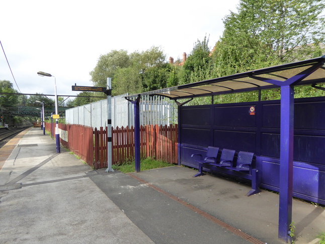
On platform 2 looking west at the basic waiting facilities:
Looking westwards at both platforms:
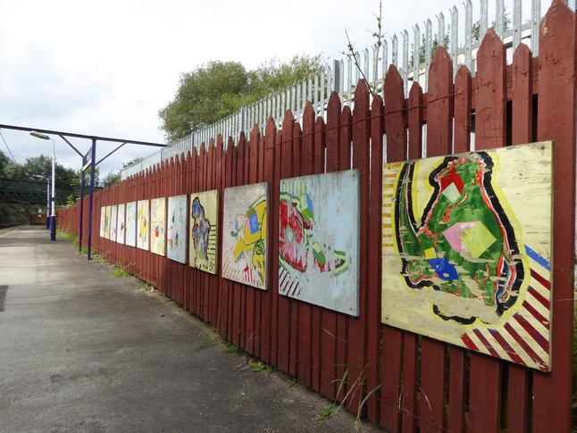
Murals decorate the fence that lines platform 2:
At the very western end of platform 2 looking along the line:
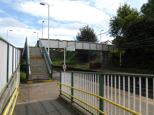
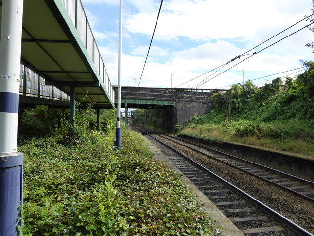
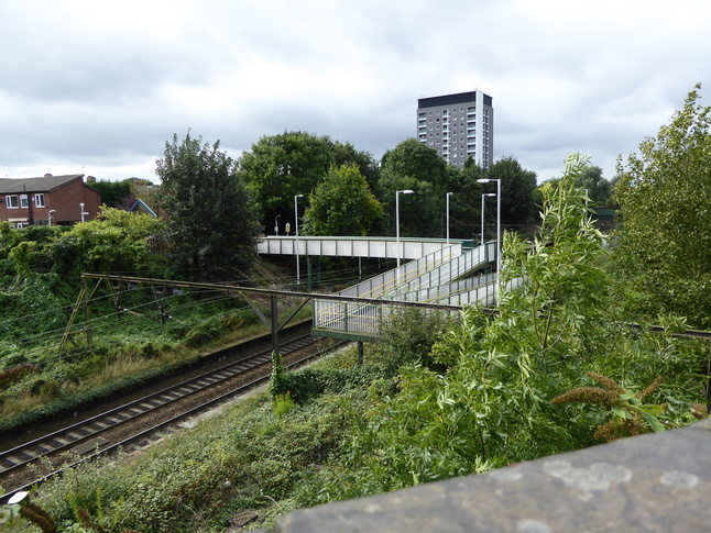
Walking to the other end of platform 2 under the footbridge, we look east at the road bridge which crosses the line, with the ramped access to the footbridge on our left:
Climbing up the ramped footbridge access we can look at the electrification gantries which date from the station's role as part of the Woodhead Route:
Back on the footbridge looking east at the road bridge:
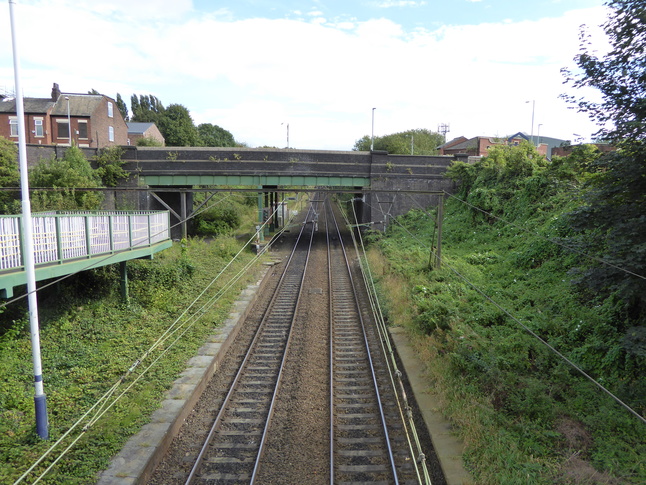
Looking more closely at the road bridge we can see the extra span from when the line was four-track here:
This view from the road bridge shows how the ramp and footbridge connect:
All photographs are © Alexandra Lanes You may reproduce them anywhere for any purpose. Coastline maps are reproduced from Ordnance Survey map data by permission of the Ordnance Survey © Crown copyright 2001