

Ainsdale
| CRS Code | ANS |
| Collected date | 30/06/13 |
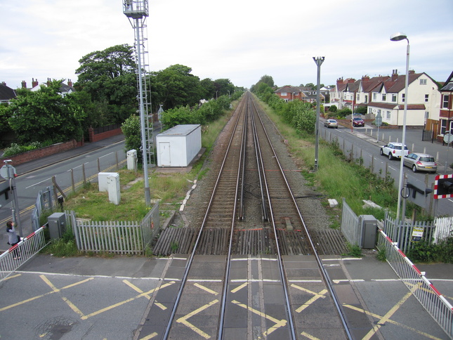
Separated from the rest of Southport by dunes, Ainsdale feels a bit less of a random suburb than some of its neighbours along the line. Like many of the other stations it has both a level crossing and a footbridge to cross the line. Here's the level crossing, looking east:

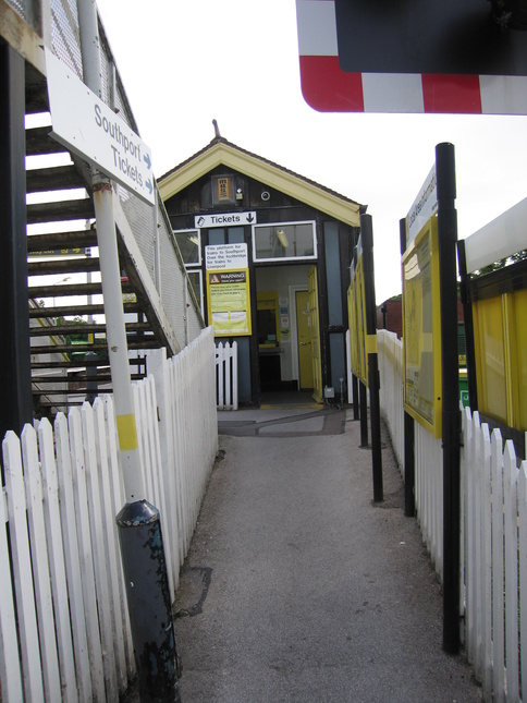
The entrance to the Southport-bound platform 2 from the road:
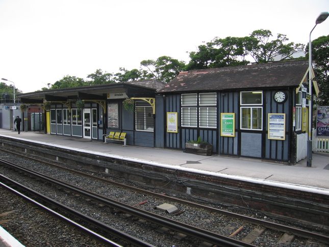
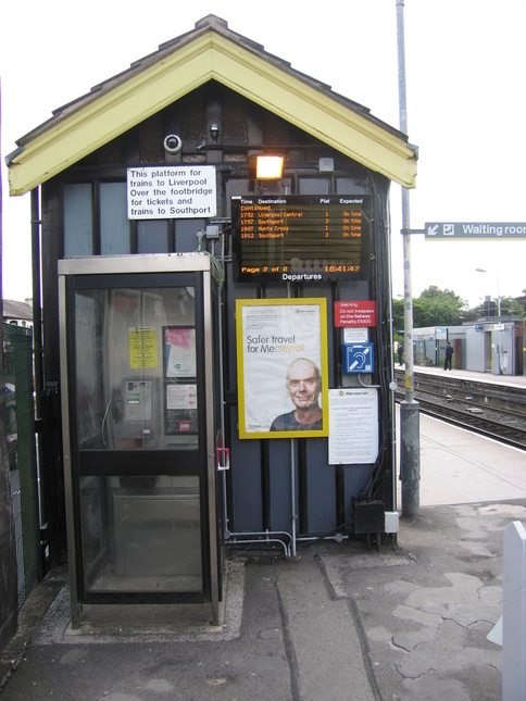
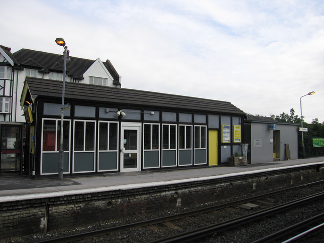
The buildings on platform 2:
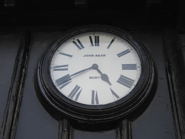
The clock:
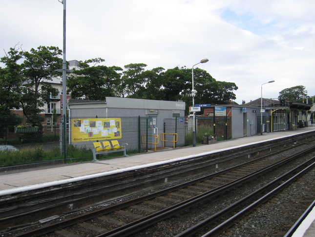
A longer view of platform 2:
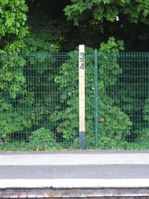
This milepost lurks in the shrubbery, although I don't know where's 3/4 of a mile away:
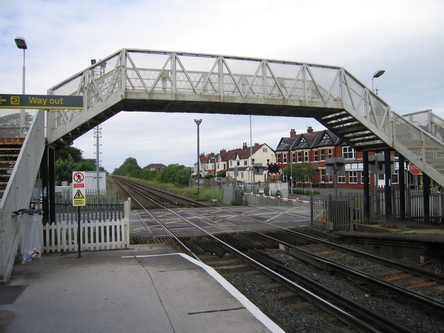
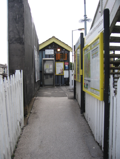
Back at the northern end of platform 2 is the footbridge which links the two platforms when the level crossing is closed:
Up on the footbridge, looking north along the line:
Looking south from the same point:

The entrance from the road to platform 1:
The side of the building on platform 1:
The building on platform 1 has no canopy and is generally rather less interesting than its counterpart on platform 2:
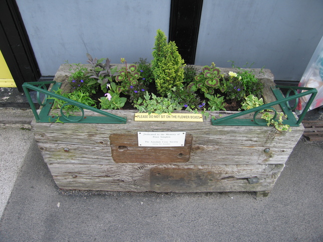
A planter on platform 1 dedicated "to the memory of Peter Simpkin":
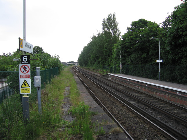
Looking south along the line from the end of platform 1:
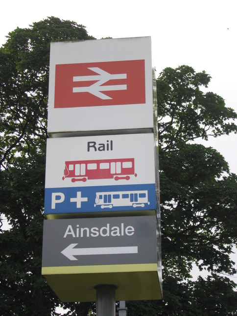
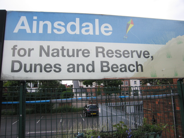
Like many of the stations along the line, Ainsdale station is "for" somewhere:
All photographs are © Alexandra Lanes You may reproduce them anywhere for any purpose. Coastline maps are reproduced from Ordnance Survey map data by permission of the Ordnance Survey © Crown copyright 2001