
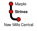
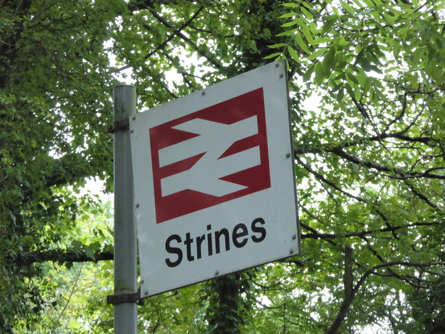
Strines
| CRS Code | SRN |
| Collected date | 12/09/16 |
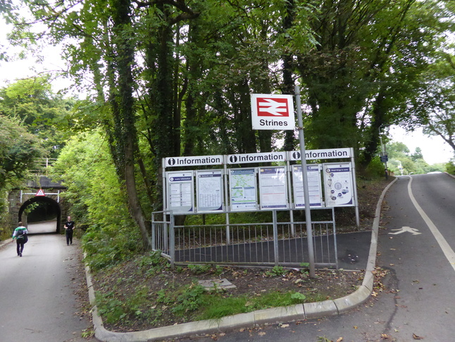
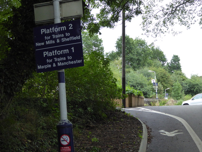
On the line to Marple, Strines station is a small rural station towards the bottom of a valley. It has two platforms, connected with a road under the line. Here, on Station Road (with Strines itself a little way behind us), we look at the station information boards and the path up on the right to platform 1 and down on the left under the bridge to platform 2:
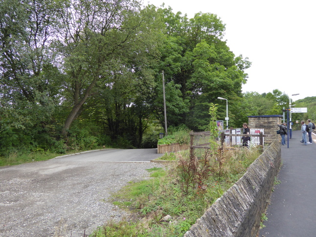
The path leads up to a car park and the entrance to platform 1:
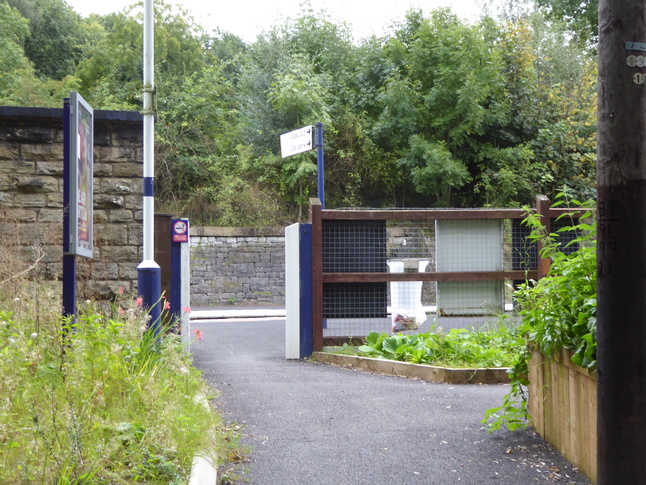
The entrance to platform 1 from the car park:
On platform 1, looking north:
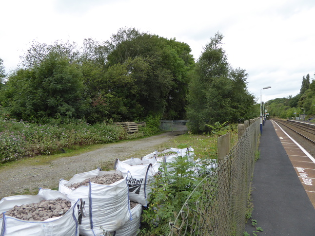
Further south down platform 1, still looking north, we can see a Network Rail compound with bags of fresh ballast:
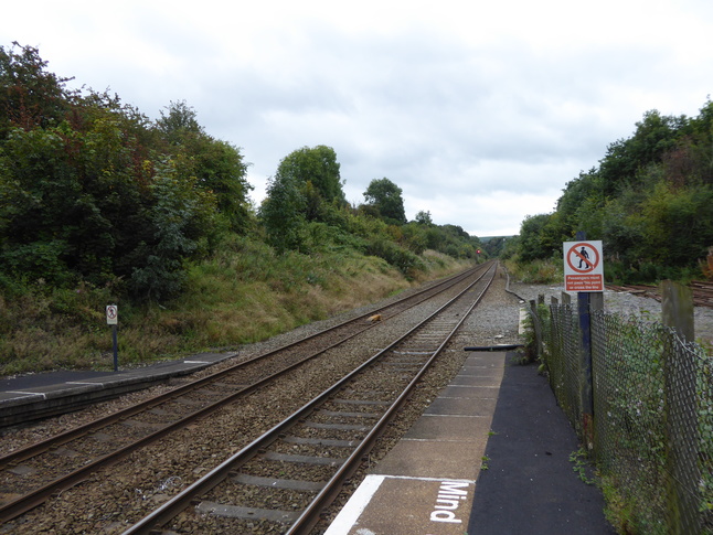
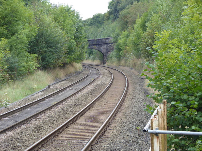
Looking south down the line:
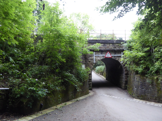
Returning to the road, we go under the line to view the rail bridge from the other side. Immediately to the left is the entrance to platform 2:
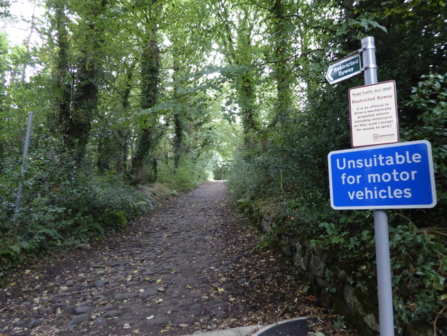
Right next to the entrance to platform 2 is the roughly cobbled Midshires Way leading north-east:
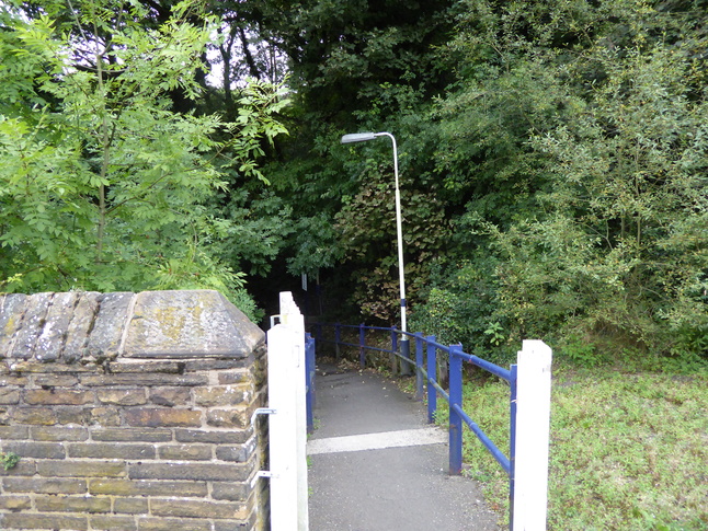
Looking down the exit steps from platform 2:
At the very northern end of platform 2, looking north, with the road passing under the railway at the fencing:
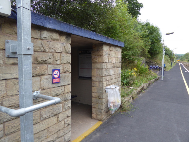
The shelter on platform 2:
Looking south along platform 2 from just beyond the shelter:
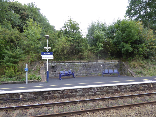
In a cut-out on platform 2 are benches:
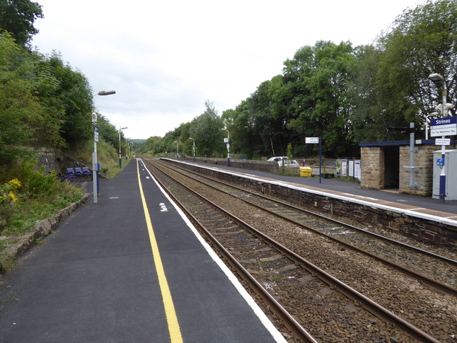
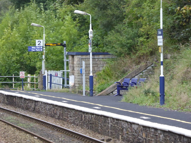
A long view of platform 2:
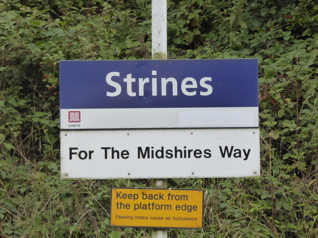
Oh, and remember the Midshires Way? That's what Strines station is for:
All photographs are © Alexandra Lanes You may reproduce them anywhere for any purpose. Coastline maps are reproduced from Ordnance Survey map data by permission of the Ordnance Survey © Crown copyright 2001