St Bees
| CRS Code | SBS |
| Collected date | 14/09/15 |
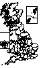
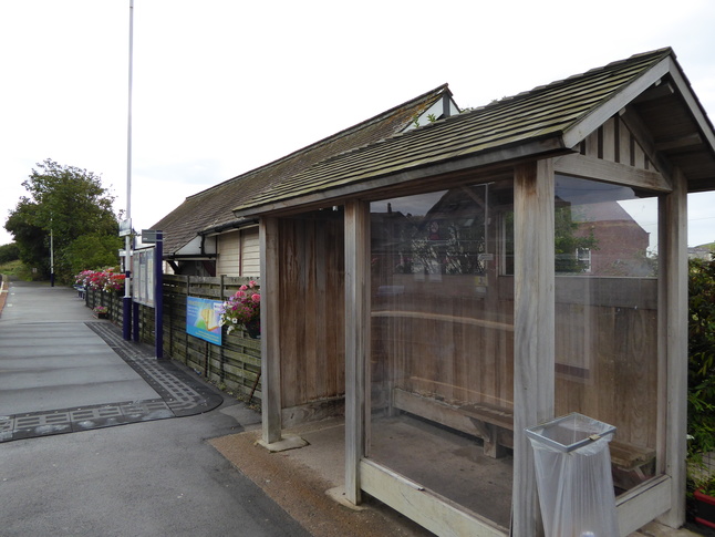
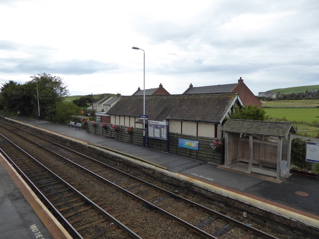
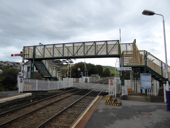
St Bees station is one of the Cumbrian Coast line's larger stations, serving the town pf the same name as the line veers away from the coast to avoid a rocky headland. The station has two platforms, connected by a level crossing and footbridge at the northern end of the station. We arrived on platform 1, for northbound services. This platform only has a small wooden shelter:
Platform 1, seen from the footbridge steps. In the middle is a raised section of platform, a "Harrington Hump" to make the low platform more tolerable:
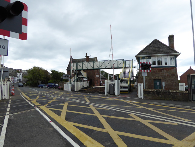
The signalling on much of this line is still mechanical with signalboxes and semaphore signals, so the exit from platform 1 goes past St Bees signalbox:
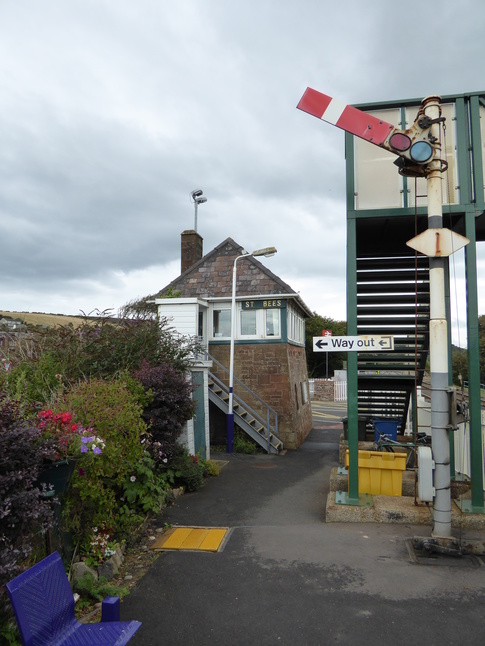
Walking round the back to take a look at the rear of the signalbox:
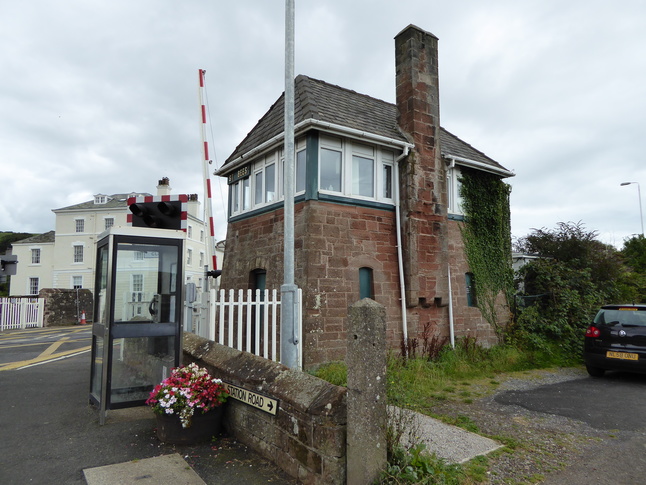
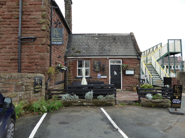
The former station building on platform 1 is now on private hands and can also be seen just round the corner:
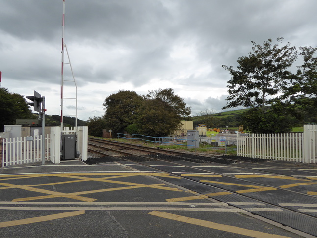
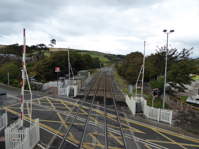
Looking at the level crossing from its northwestern side:
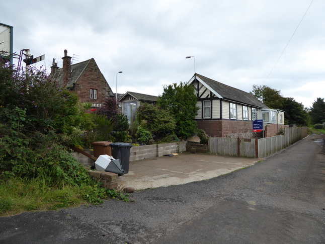
Also at this corner of the level crossing is a small hut labelled "Oil store":
Looking north at the level crossing:
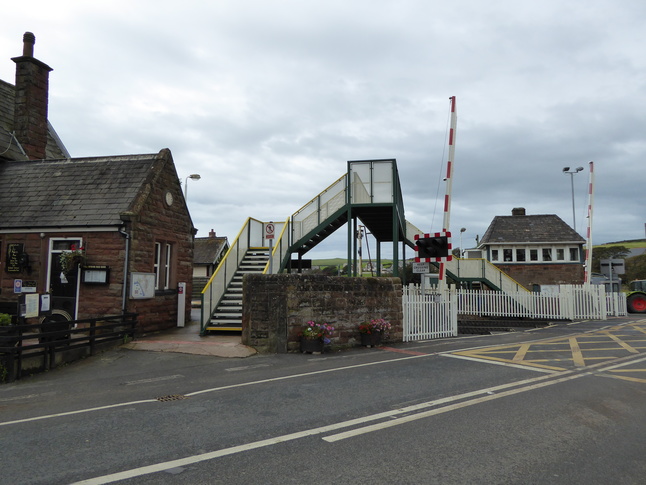
The two platforms are connected by a footbridge, seen here from platform 2:
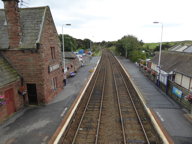
Looking north along the line from the footbridge:
Looking south at the station from the footbridge:
On the other side of the level crossing:
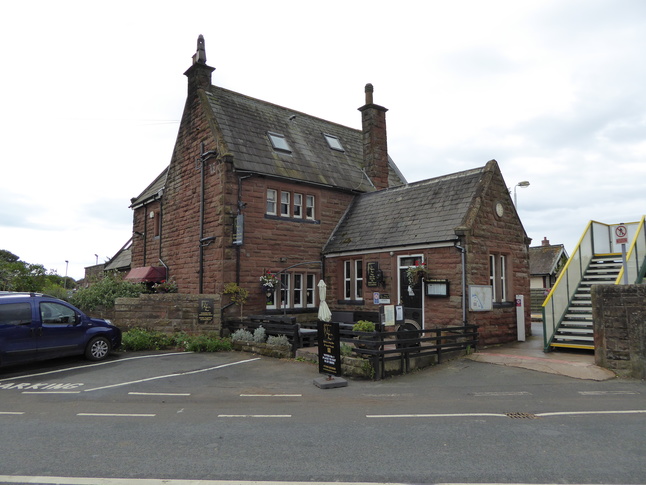
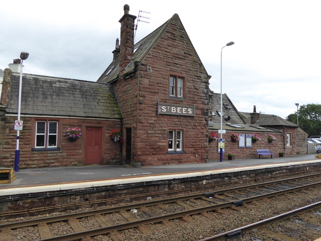
The main station building stil exists and is used as a restaurant:
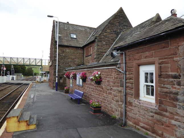
The station building backs on to platform 2 for southbound services:
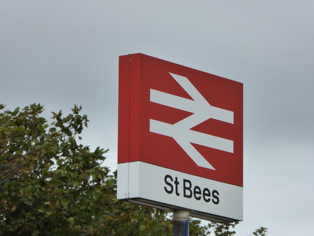
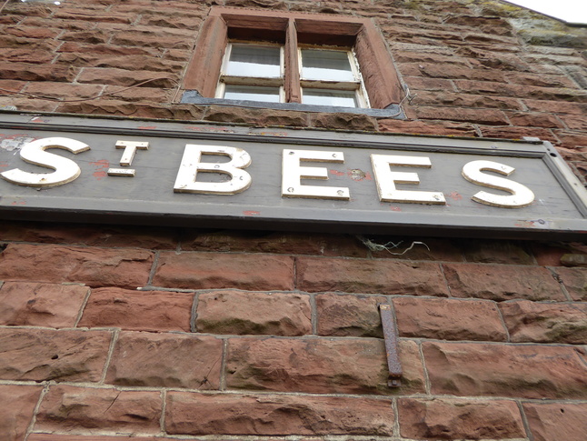
The old station sign on the building is very distinctive and shows up in most photos of the station:
On platform 2, which has no Harrington Hump, and just an old set of BR steps:
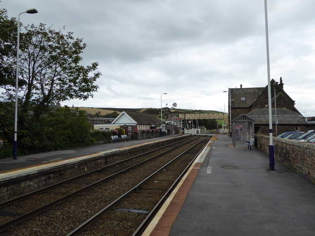
Further south along platform 2 looking north at the whole station:
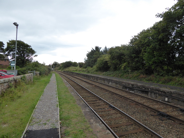
Looking south at the end of the operational part of platform 2, which continues south for some way:
All photographs are © Alexandra Lanes You may reproduce them anywhere for any purpose. Coastline maps are reproduced from Ordnance Survey map data by permission of the Ordnance Survey © Crown copyright 2001