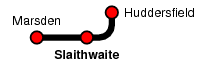
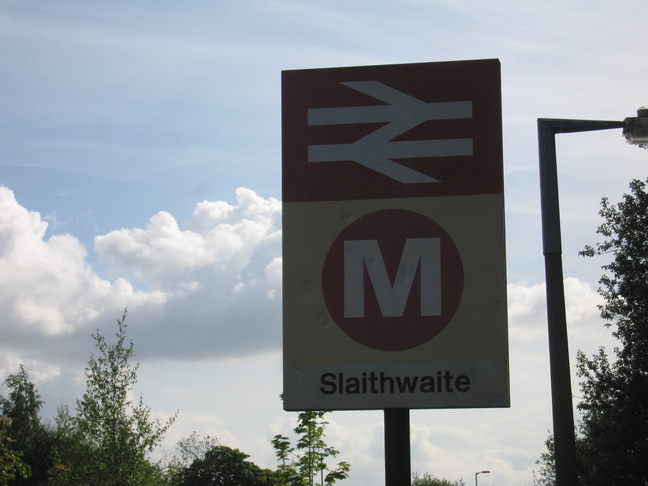
Slaithwaite
| CRS Code | SWT |
| Collected date | 20/05/10 |
According to the announcements on the trains, Slaithwaite is pronounced something like `Slough-it'. The station itself sits on top of a viaduct running approximately east-west.
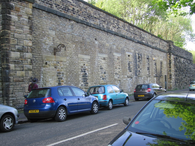
On the southern side of the viaduct, some old bricked up openings suggest something might have been here before:
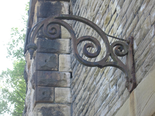
The old lamp bracket above the "door":
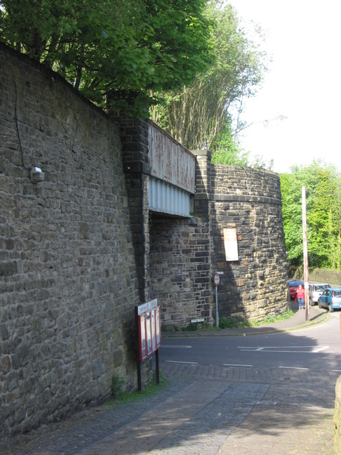
Returning westwards from the site of the previous photos we look at the bridge which carries the railway over the road:
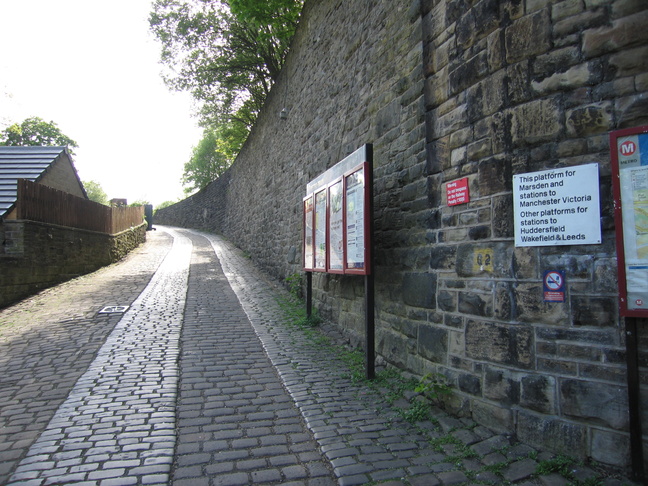
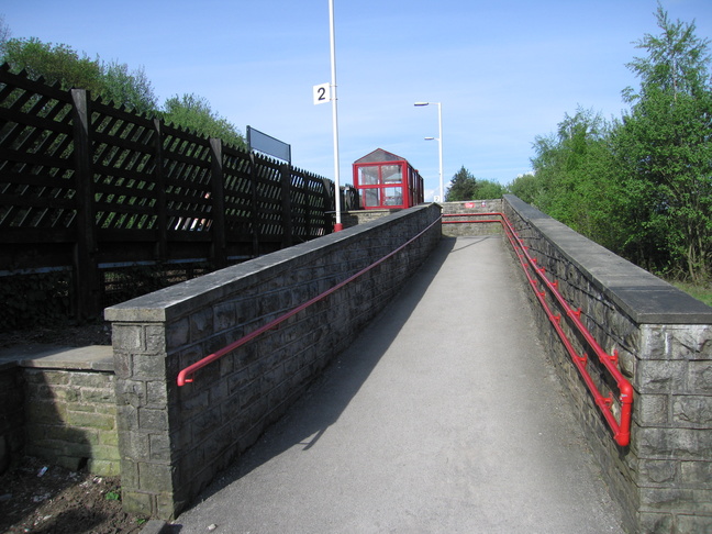
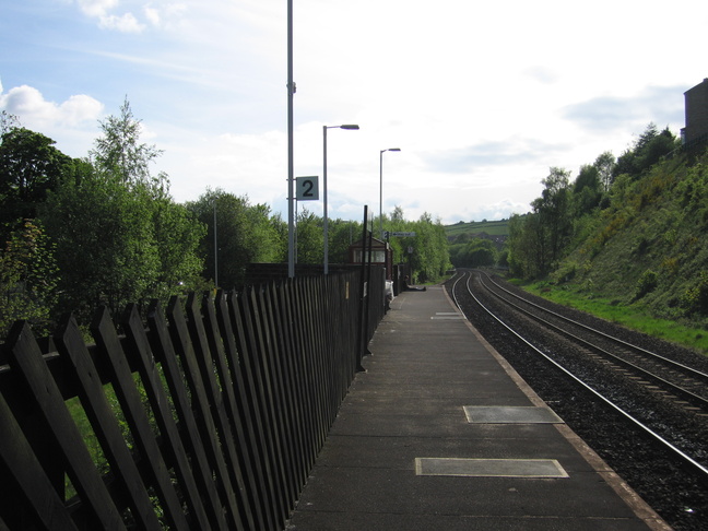
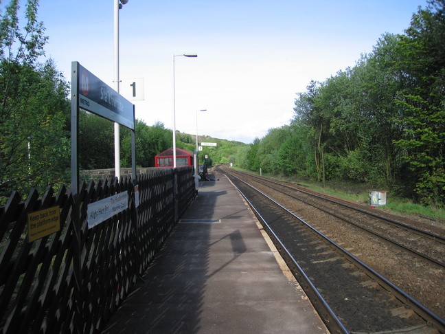
Looking up the approach to platform 2:
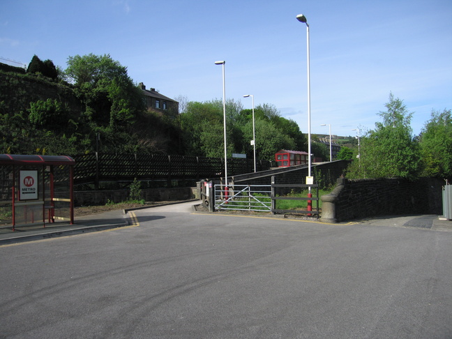
At the top of the ramped approach is a small car park and bus stop:
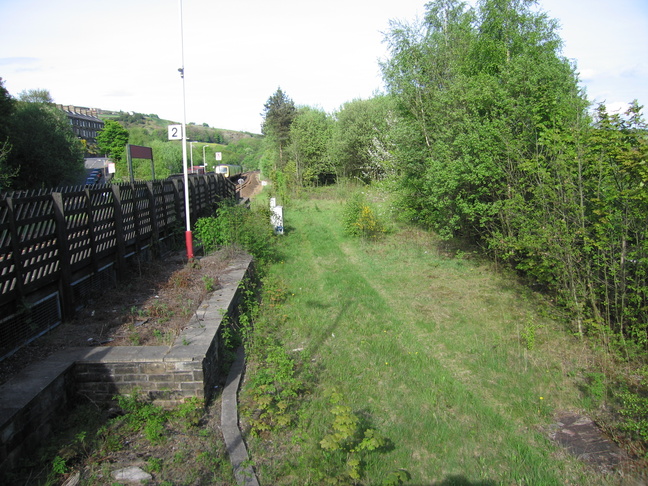
Beyond the gate in the car park is a track which parallels the line over the bridge. Once a trackbed?
The ramp from the car park to platform 2:
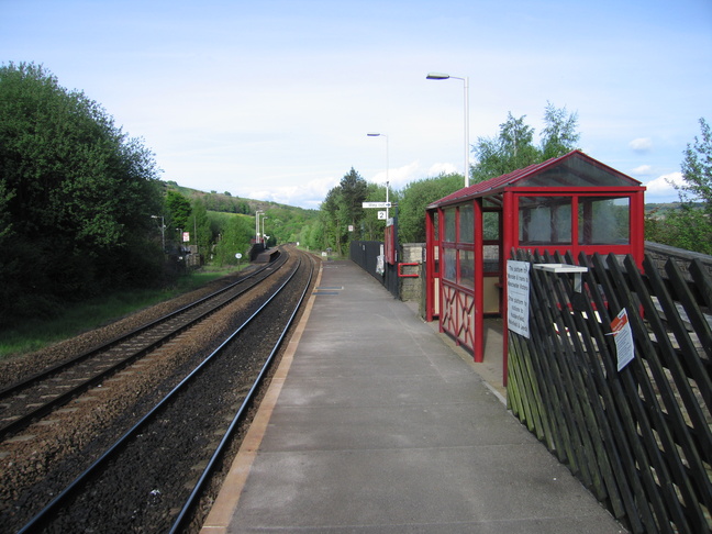
On platform 2, looking east:
The platform has been patched a little, as can be seeen from this west-facing shot:
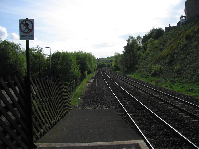
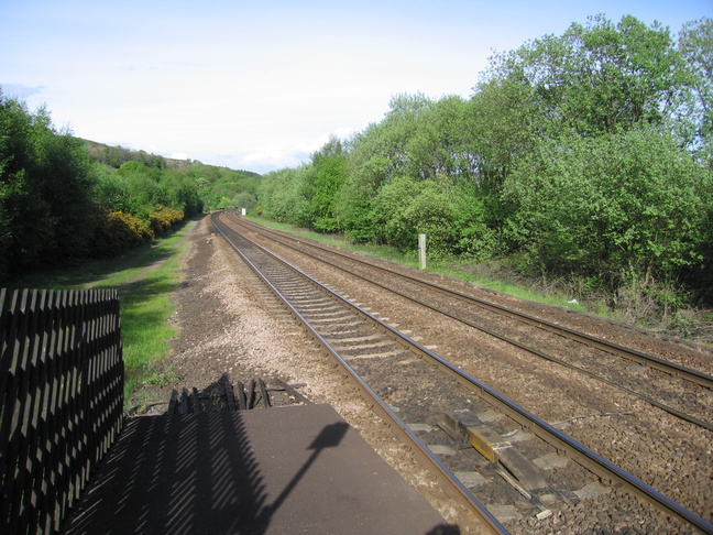
Looking west along the line from the end of platform 2:
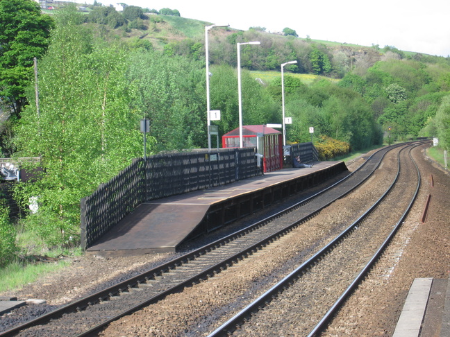
Platform 1 seen from platform 2 opposite:
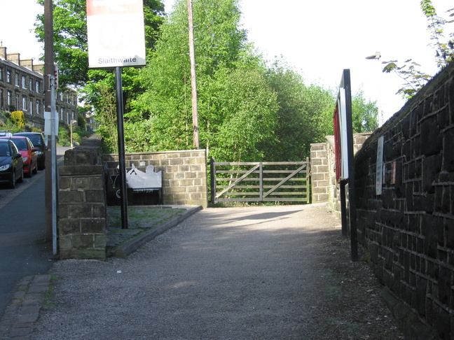
The road under the line is the connection between the two sides of the station, so we go under the line and climb up Crimble Bank to get to the entrance to platform 1:
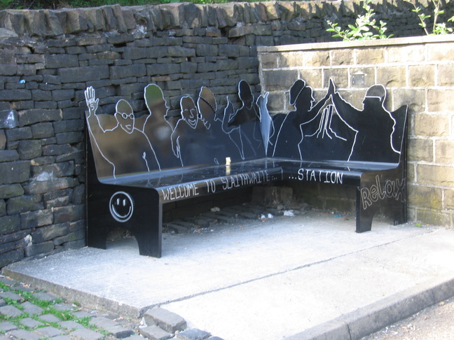
A new bench in the corner near the entrance to platform 1:
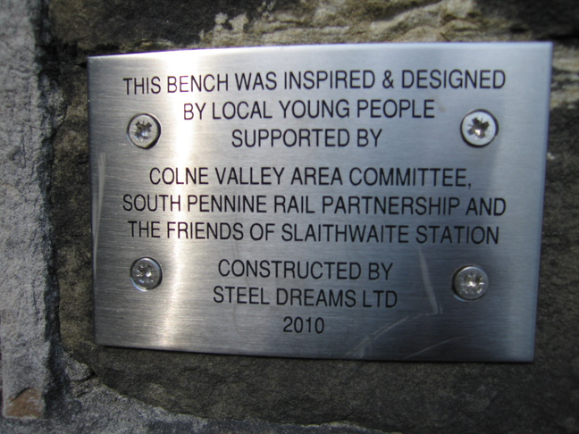
The plaque telling us more about the bench:
On platform 1, looking eastwards:
Looking east along the line from the end of platform 1:
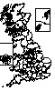
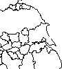
All photographs are © Alexandra Lanes You may reproduce them anywhere for any purpose. Coastline maps are reproduced from Ordnance Survey map data by permission of the Ordnance Survey © Crown copyright 2001