
Orpington
| CRS Code | ORP |
| Collected date | 20/06/15 |
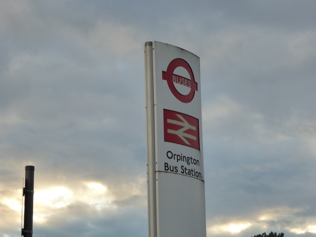
The closest I could find for a sign at Orpington was this one at the bus station next to the eastern entrance to the rail station:
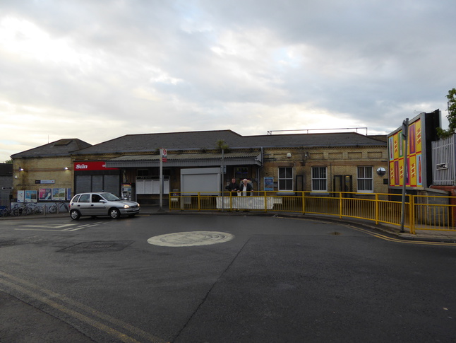
The main entrance to the station is on its west side, but there wasn't time to get over there to capture it. It has a secondary entrance on its east side:
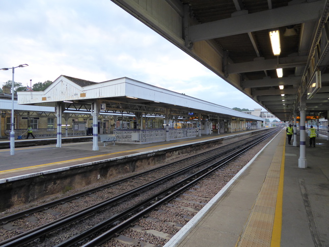
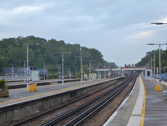
The station building gives onto platform 5, from where we look north:
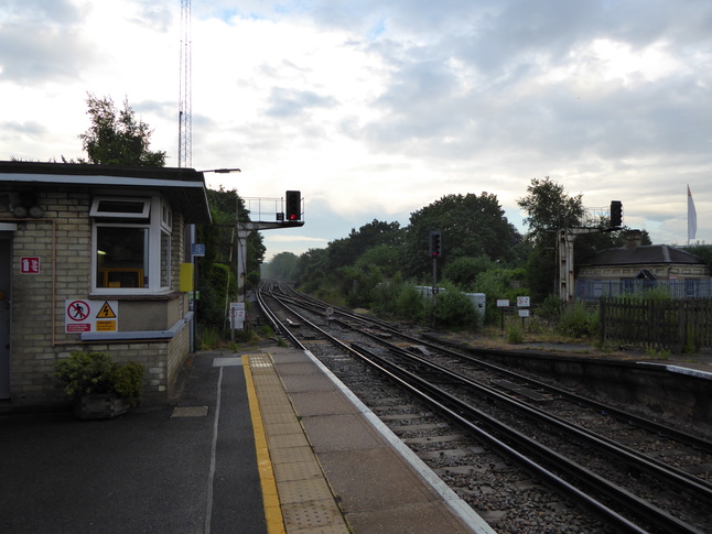
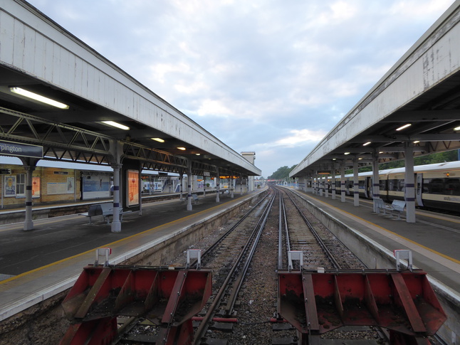
The station building is quite close to the southern end of the station. Looking south along the line:
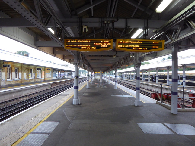
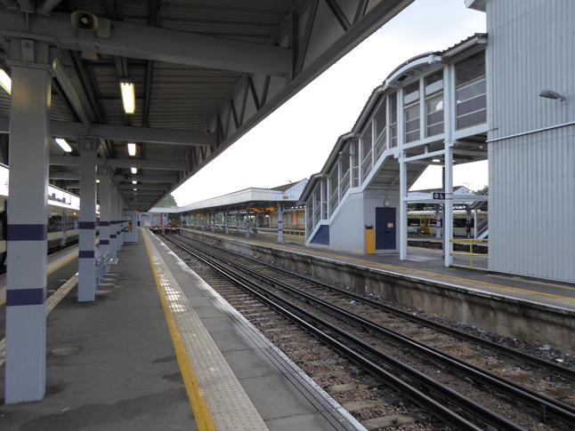
Looking over the track towards the island platforms 3 and 4:
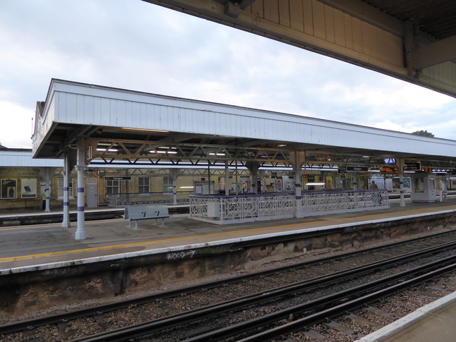

On platform 5 looking north under the canopy:
To the east of the through platforms are three bay platforms, 6-8. Looking north behind the buffers for platforms 6 and 7:
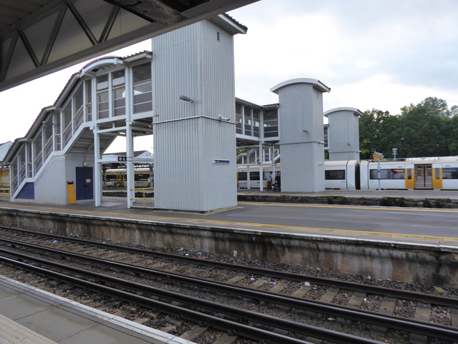
On platform 7, looking south towards the buffers with the footbridge which links platforms 1-6 on the right:
Looking west from platform 7 at the footbridge:
Looking north along platforms 7 and 8:
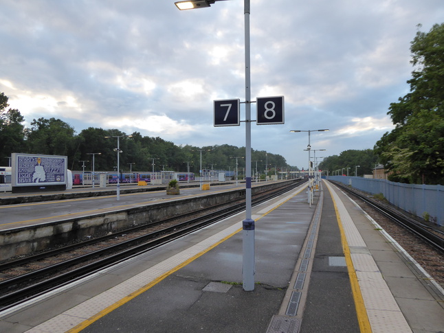
Looking north from platform 7:
All photographs are © Alexandra Lanes You may reproduce them anywhere for any purpose. Coastline maps are reproduced from Ordnance Survey map data by permission of the Ordnance Survey © Crown copyright 2001