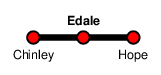
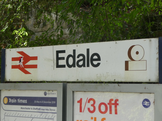
Edale
| CRS Code | EDL |
| Collected date | 18/09/18 |
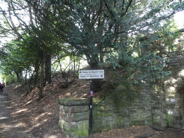
The start of a new day, so it's the Hope Valley Line to Edale, a simple two-platform station just below Kinder Scout. A path leads from the car park approach road to platform 1:
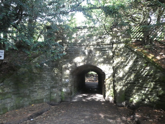
To our right a subway leads to the other side of the line:
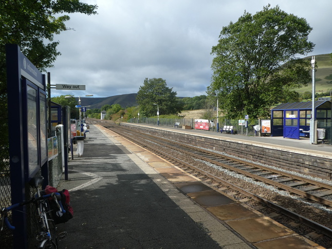
The path leads on to platform 1, just behind the way out sign here:
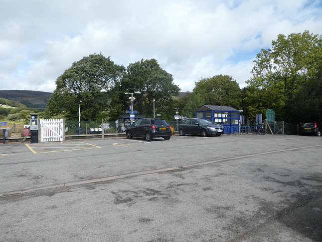
Platform 1 also backs on to the car park:
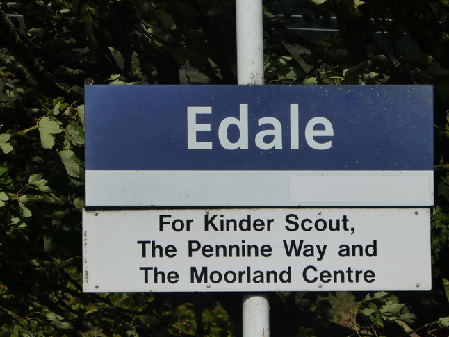
A sign on platform 1 is keen to tell us that Edale station is for the Pennine Way and the Moorland Centre:
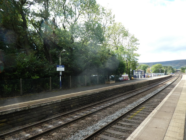
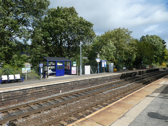
From the other platform, a view of platform 1:
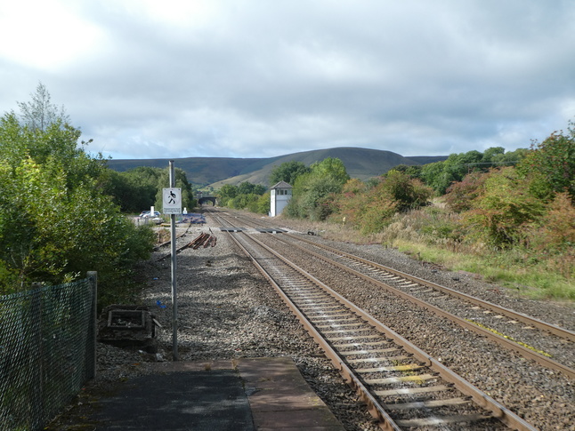
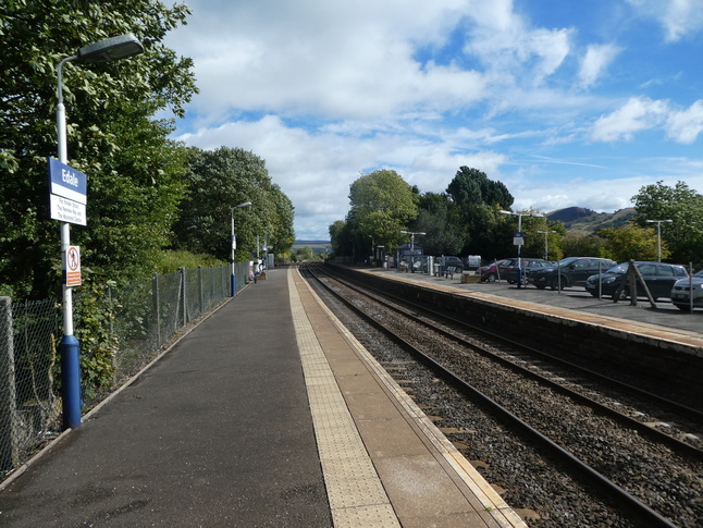
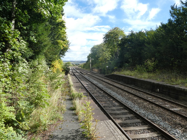
At the end of platform 1 we look west towards the signalbox:
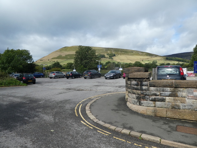
The car park, just to the back of platform 1:
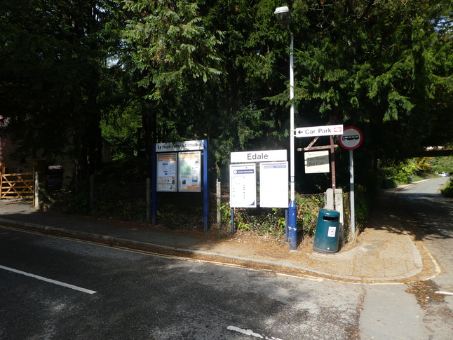
The entrance to the car park from the approach road:
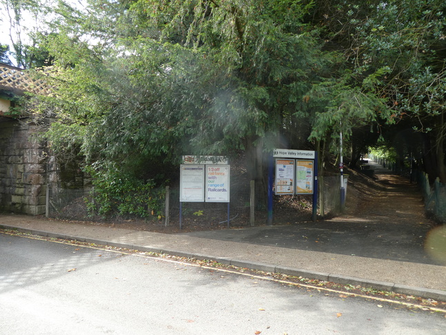
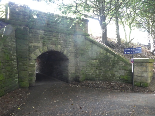
Back down the car park approach road to Mary's Lane, with the railway bridge over the road visible on the right:
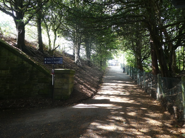
Under the road bridge (which crosses the line to the east of the station), to the approach path to platform 2:
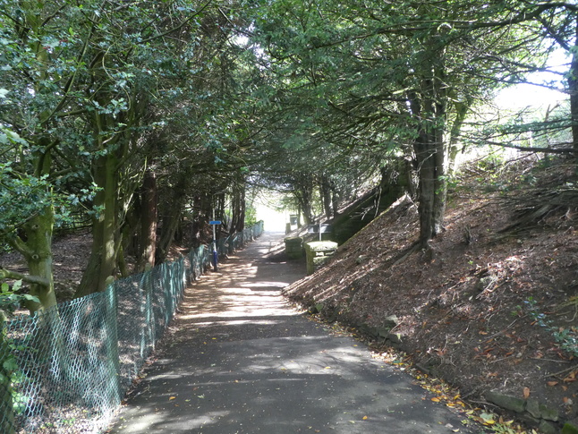
Part way up the path, with the subway on the left:
The platform 2 side entrance to the subway:
Looking back down the approach path:
The path leads on to platform 2:
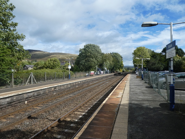
Looking east along platform 2:
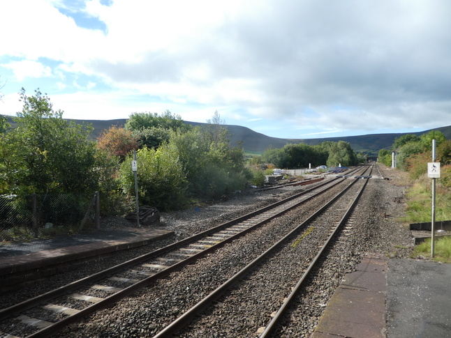
Looking east from the end of platform 2:
Looking west along the line from the other end of platform 2:
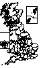
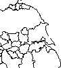
All photographs are © Alexandra Lanes You may reproduce them anywhere for any purpose. Coastline maps are reproduced from Ordnance Survey map data by permission of the Ordnance Survey © Crown copyright 2001