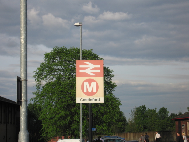
Castleford
| CRS Code | CFD |
| Collected date | 21/05/10 |
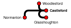
Although a line passes east-west through Castleford station, the eastern end is now only a goods line, and so trains reverse here on their way between Woodlesford and either Glasshoughton or Normanton via the junction just west of the station. (Because of this, it can be harder to catch the station when it's not full of people, so these photos were taken on two different days.)
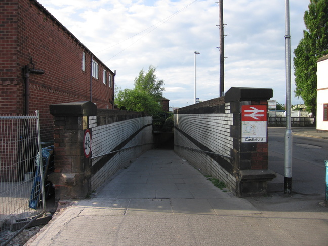
The main approach to the station from the town itself is from the south via this tunnel which goes under the line:
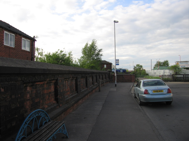
The side of the tunnel:
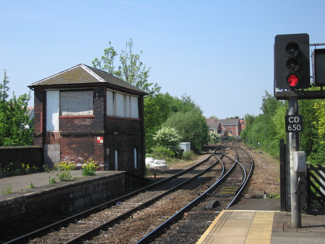
There is no access to the station other than via the tunnel but the old signalbox on this side of the track can clearly be seen:
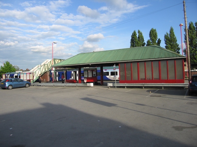
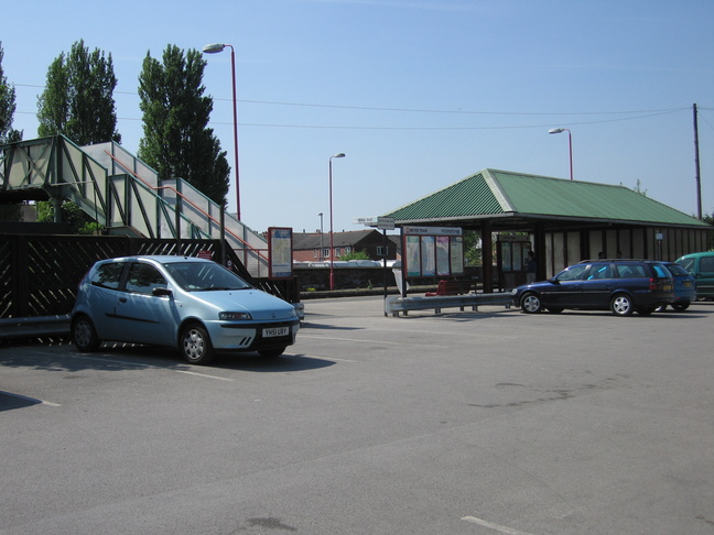
Exiting the tunnel one comes to the car park:
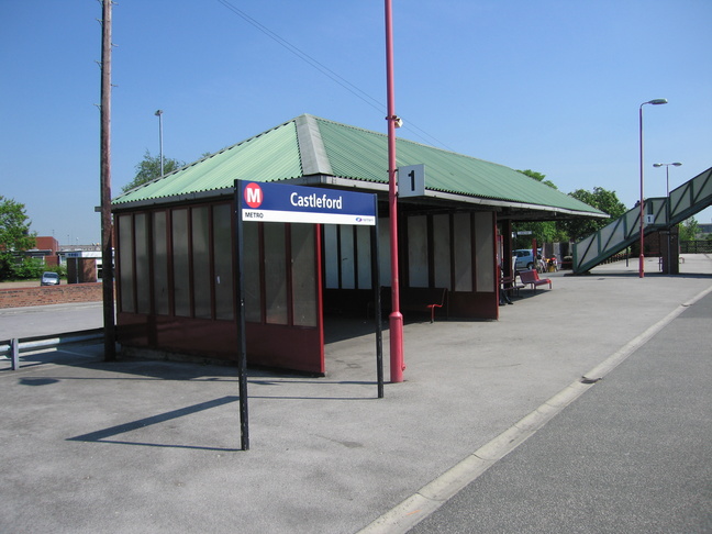
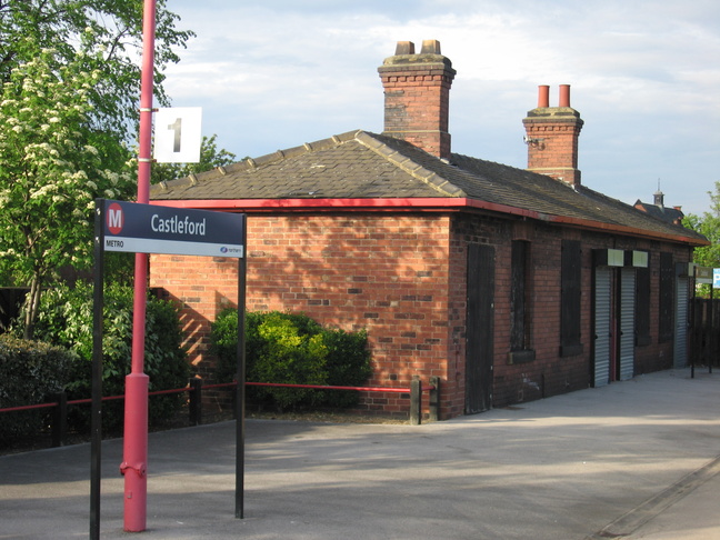
The entrance to the station from the car park:
The shelter on platform 1:
Looking west on platform 1 with the other side of the signalbox visible:

Looking west along the line we see the junction:
Looking east on platform 1:
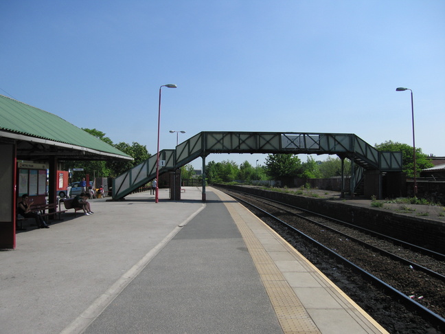
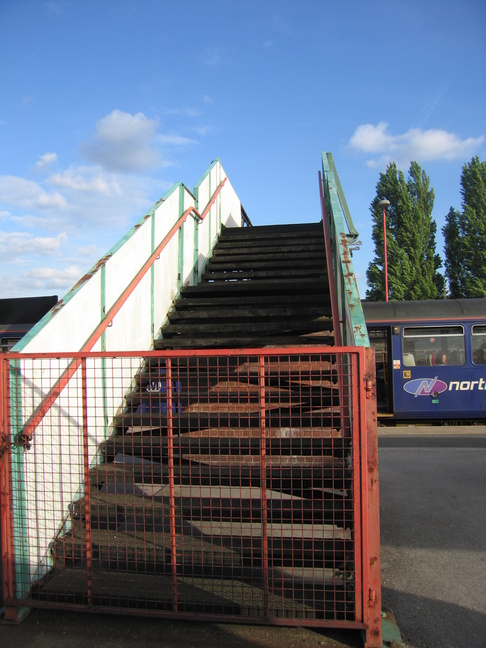
The opposite platform is not in use, so the footbridge is gated off:
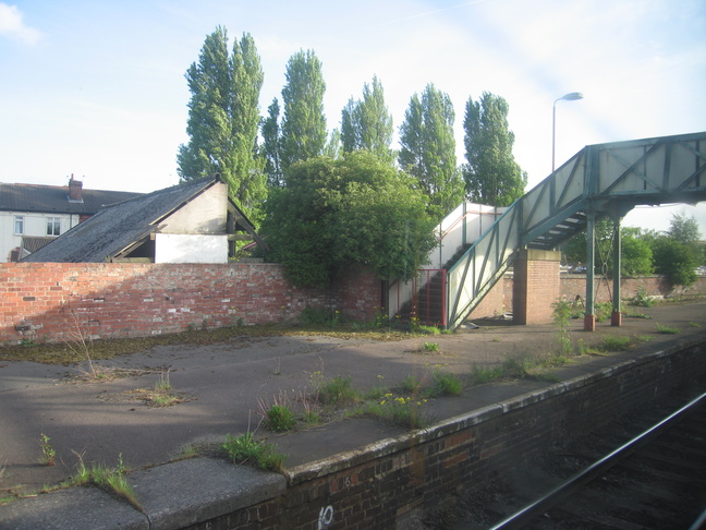
The disused footbridge ends on the disused platform opposite:
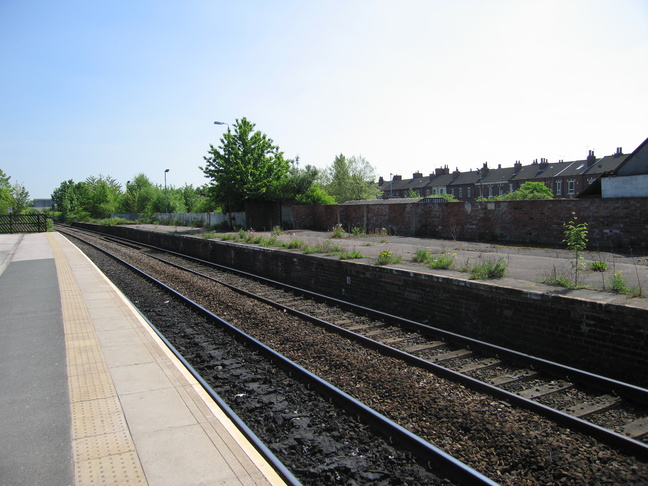
The disused platform:
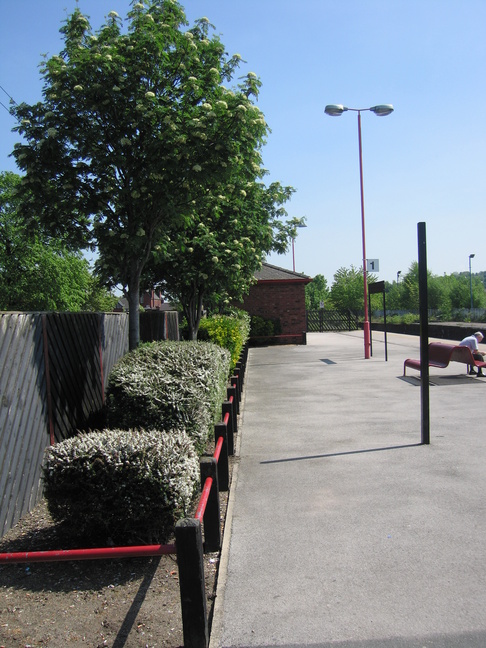
East of the footbridge on platform 1, some shrubbery:
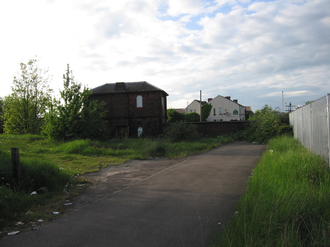
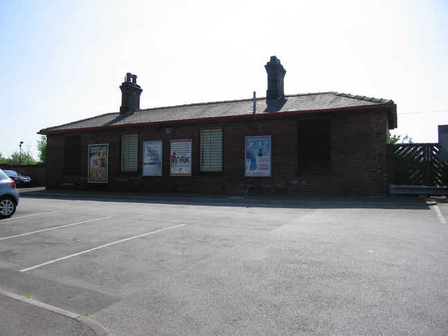
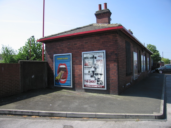
At the eastern end of platform 1 is an old building:
The front and side of the building seen from the car park:
All photographs are © Alexandra Lanes You may reproduce them anywhere for any purpose. Coastline maps are reproduced from Ordnance Survey map data by permission of the Ordnance Survey © Crown copyright 2001