

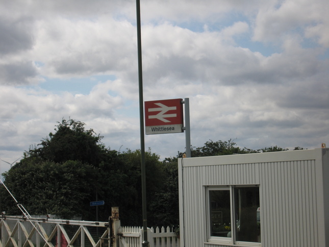
Whittlesea
| CRS Code | WLE |
| Collected date | 27/06/11 |
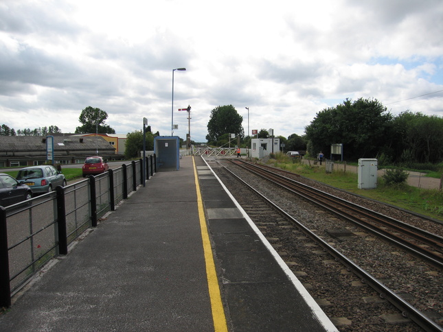
A fine (but, as it turned out, rather windy) day seemed like a good opportunity for a short bike ride from Whittlesea to Peterborough. I arrived on platform 1, here looking west towards the level crossing:
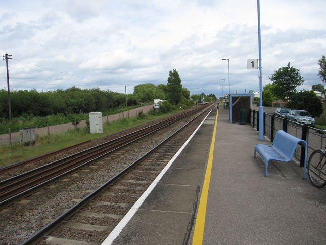
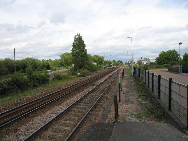
Looking east along platform 1:
From the eastern end of platform 1, looking along the line. The platforms are staggered but unusually the level crossing is not between them:
Beyond the eastern end of platform 1 is this goods siding and loading dock:
A long view of platform 1 from the other side of the line:
Looking west along the line from the end of platform 1:
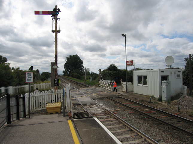
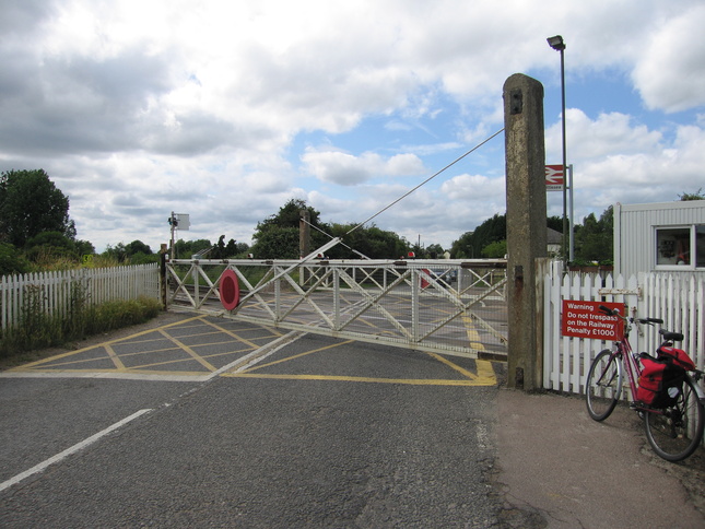
The level crossing (with the gates closed for a goods train about to pass):
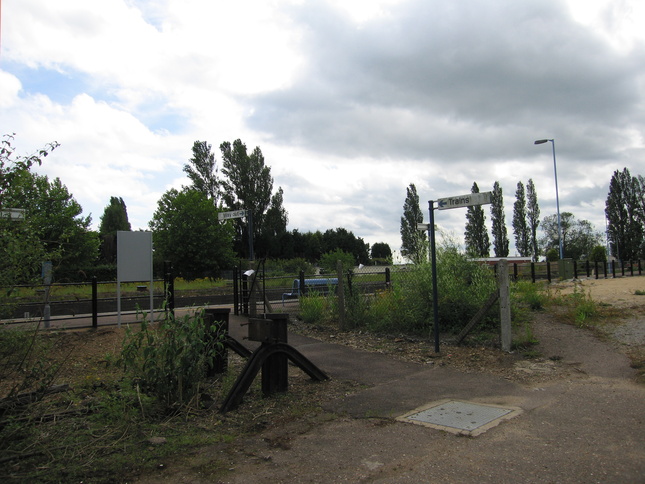
Walking over the level crossing and along past a building site, we find the entrance to platform 2:
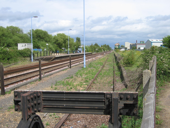
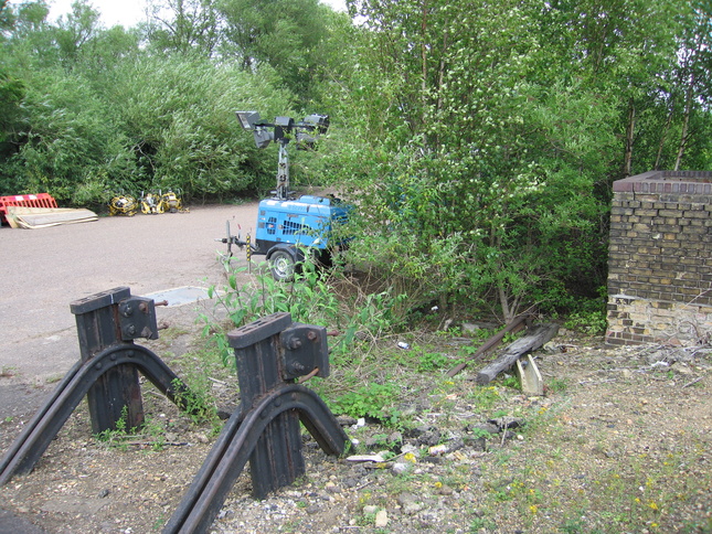
Next to the entrance is an old buffer with rails visible in the undergrowth:
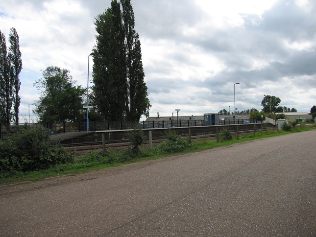
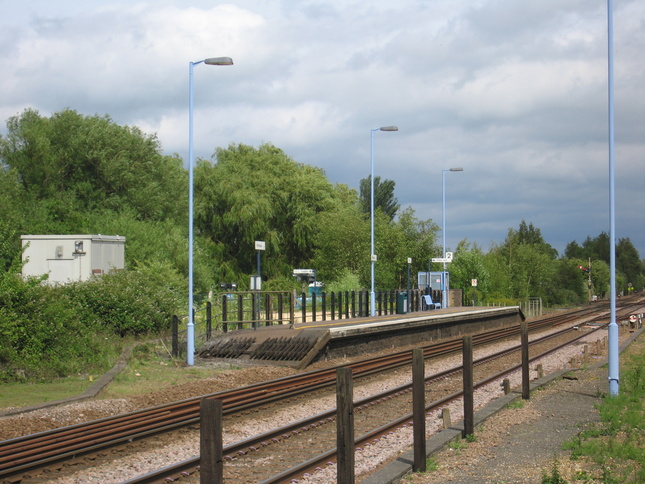
Platform 2 seen from a distance:
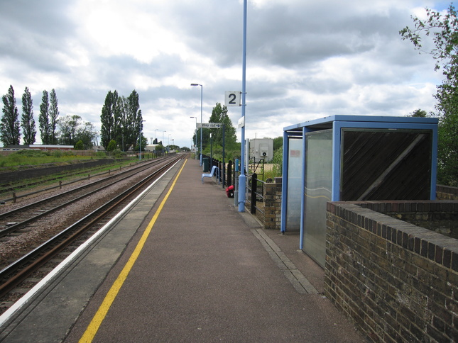
On platform 2, looking west with platform 1 and the level crossing in the distance:
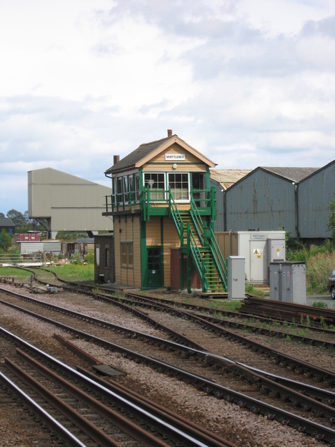
A little way east of the station is the signalbox:
All photographs are © Alexandra Lanes You may reproduce them anywhere for any purpose. Coastline maps are reproduced from Ordnance Survey map data by permission of the Ordnance Survey © Crown copyright 2001