

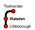
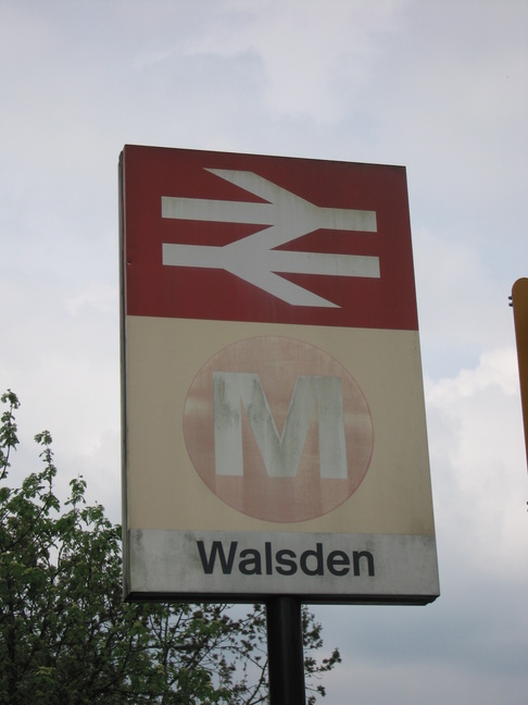
Walsden
| CRS Code | WDN |
| Collected date | 21/05/10 |
Walsden station serves a small village at the westernmost edge of West Yorkshire, and was the start of a pleasant walk along the Rochdale Canal to Todmorden.
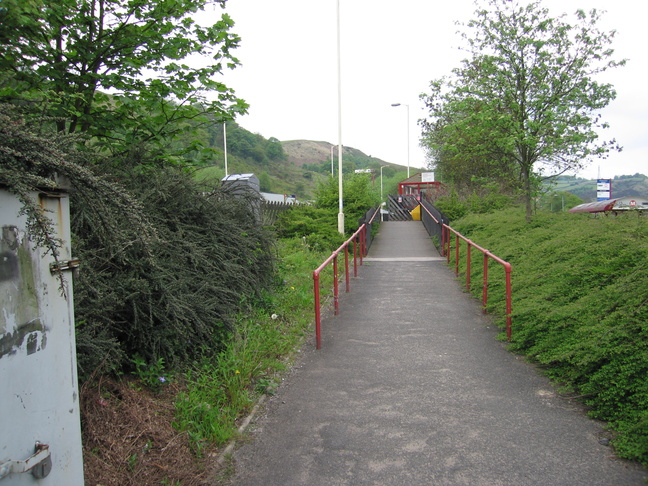
The station runs approximately north-south, with the main road (Rochdale Road) to its east. The access ramp up to platform 1 from the road:
On platform 1, looking south at the footbridge:
Looking north along platform 1:
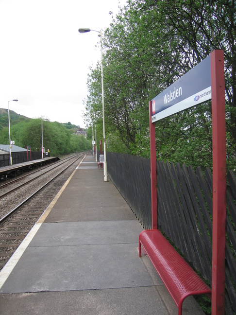
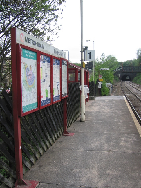
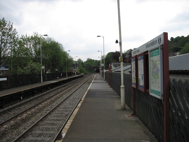
Looking south from the very end of platform 1, with platform 2 on the right:
There are two ways to cross the tracks at Walsden. The first is the footbridge at the southern end of the station, accessed from Rochdale Road:
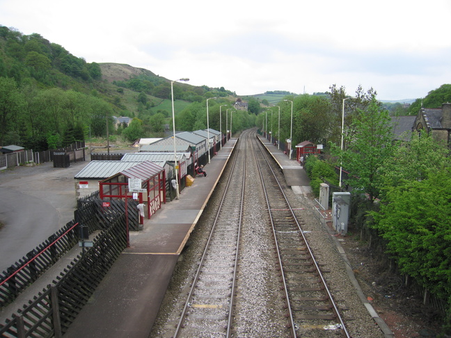
Looking north at the station from the footbridge:
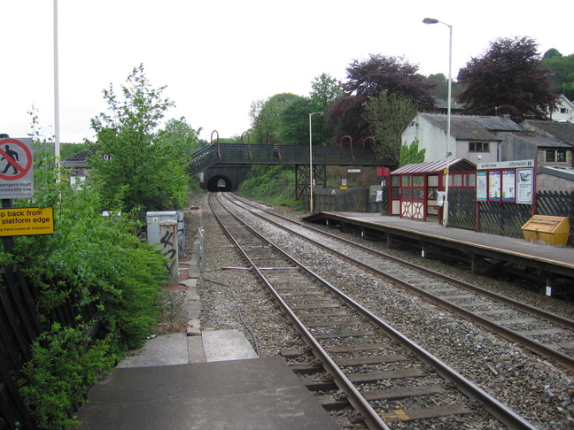
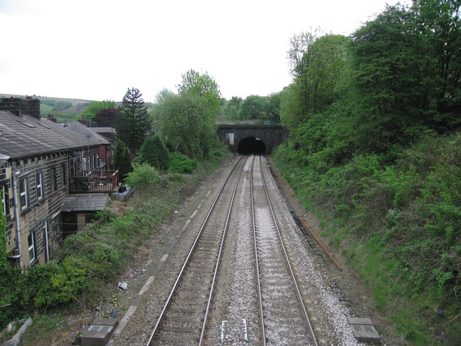
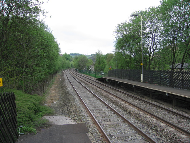
Looking south along the line from the footbridge:
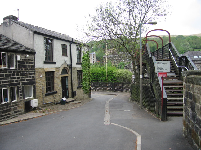
The other end of the footbridge, looking east:
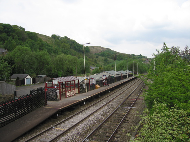
Platform 2, seen from the footbridge:
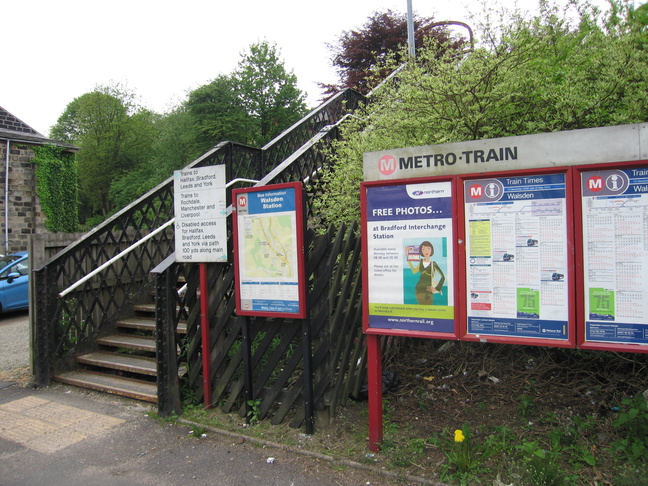
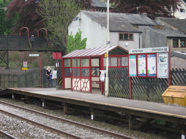
Platform 2's entrance and shelter:
On platform 2, looking south:
Looking north from the end of platform 2:
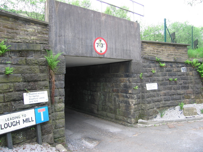
For those who cannot manage the footbridge, there's a road under the railway at the northern end of the station, seen here on the eastern side of the line:
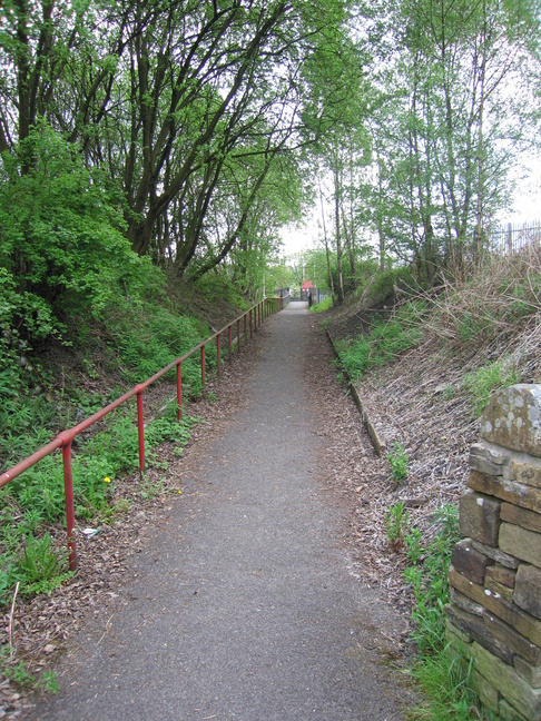
Which leads to a ramped approach up to platform 2:
All photographs are © Alexandra Lanes You may reproduce them anywhere for any purpose. Coastline maps are reproduced from Ordnance Survey map data by permission of the Ordnance Survey © Crown copyright 2001