

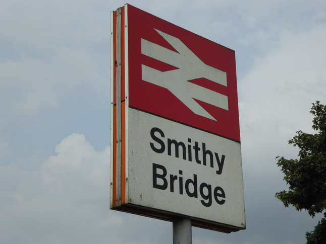
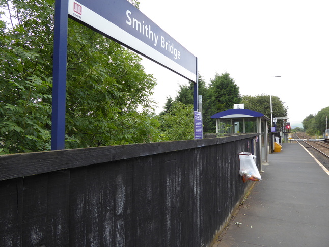
Smithy Bridge
| CRS Code | SMB |
| Collected date | 13/09/16 |
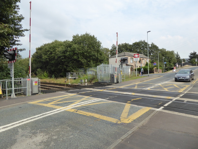
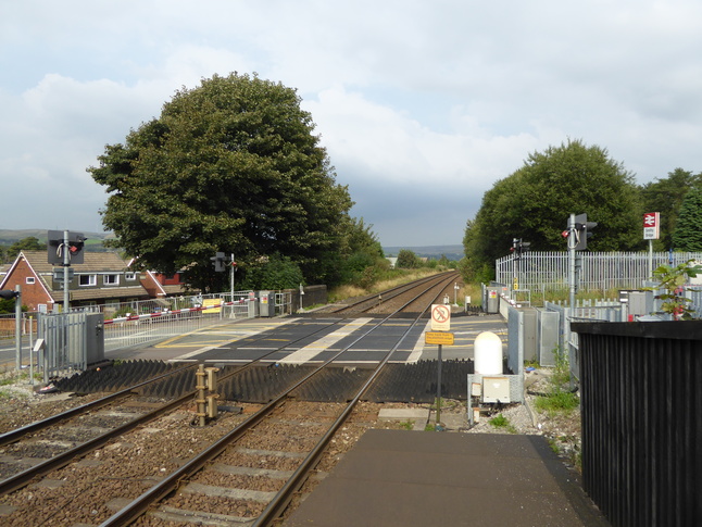
Smithy Bridge station serves a small village near Rochdale, in which we arrived by bike - it seems to be a popular area for cyclists! The station is to one side of a level crossing at the northern end; here's the level crossing seen from its western side:
Just beyond the level crossing is the site of the now demolished signal box:
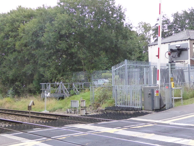
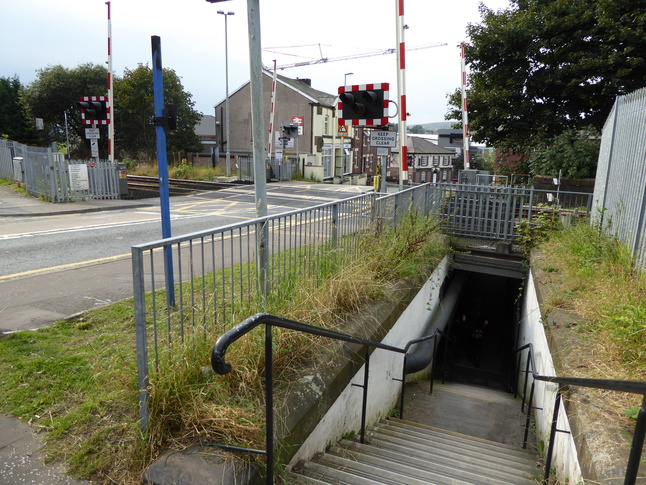
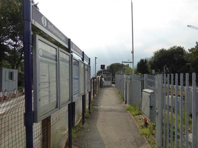
As well as the level crossing a pedestrian subway also crosses the line to the north of the road. Here we look westwards:
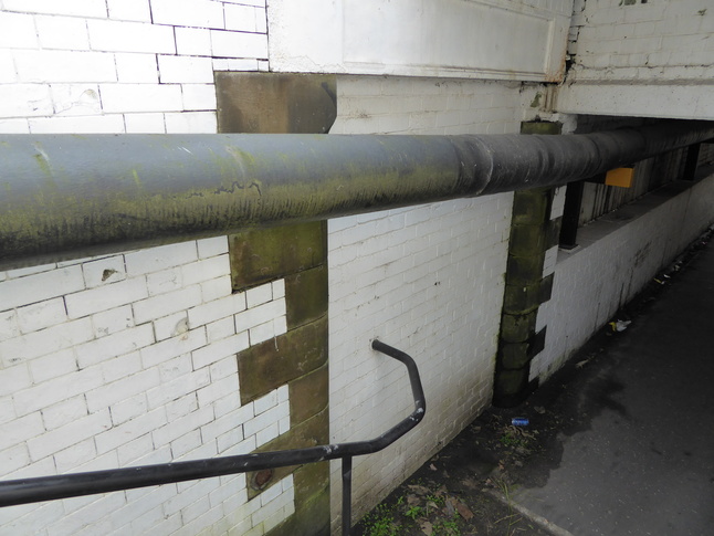
A bricked up entrance in the subway suggests it used to provide entrance to the station:
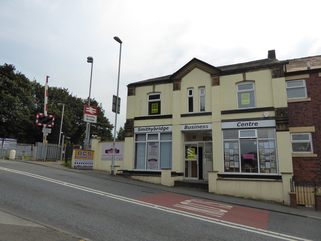
West of the line is this building, which looks like it might have some former association with the railway:
Between the building and the level crossing is a path leading to platform 2, entering just next to the platform 2 sign behind the shelter:
Looking north along platform 2:
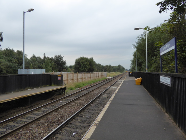
Looking south along platform 2:
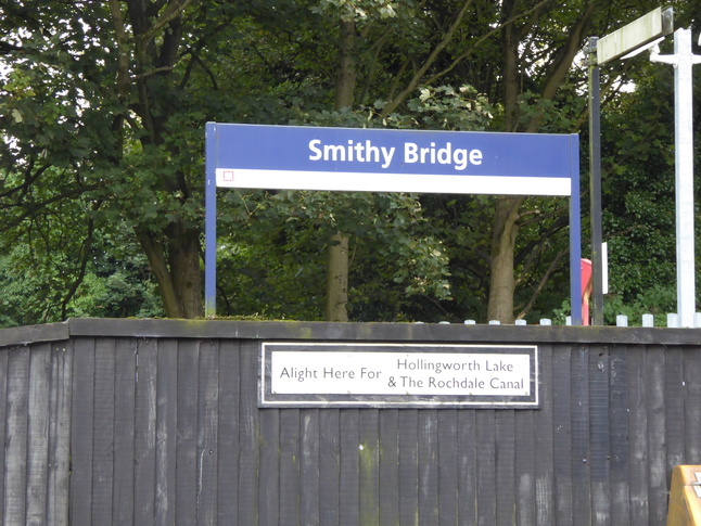
Signs tell us that Smithy Bridge is "for" the Hollingworth Lake and Rochdale Canal:
Crossing the line at the level crossing we look up the ramp leading to platform 1:
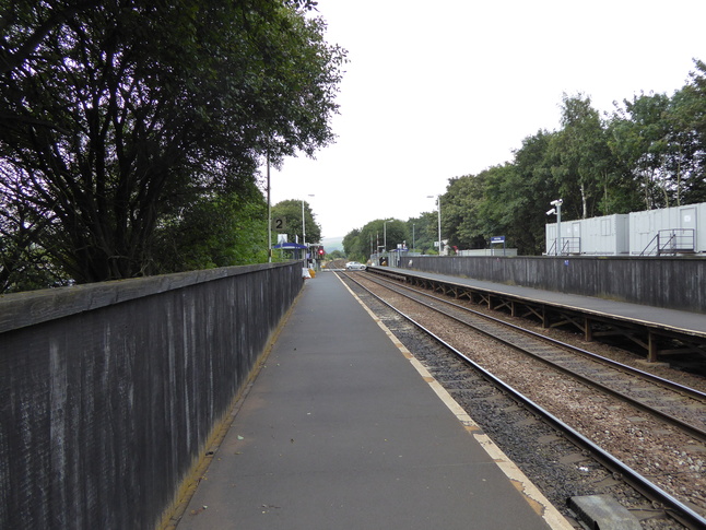
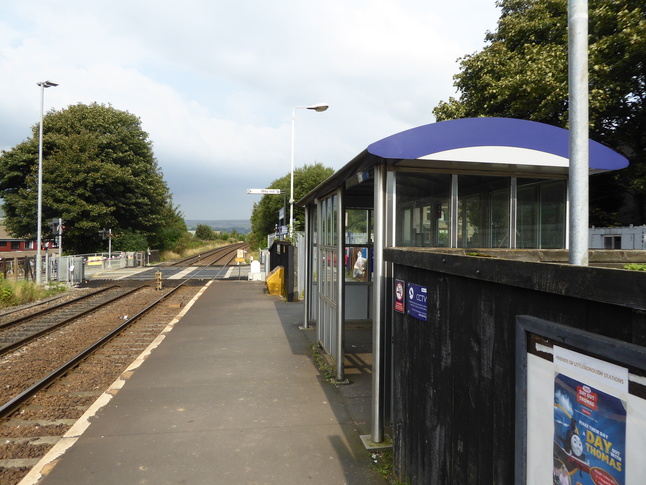
Up on platform 1 looking north along the line:
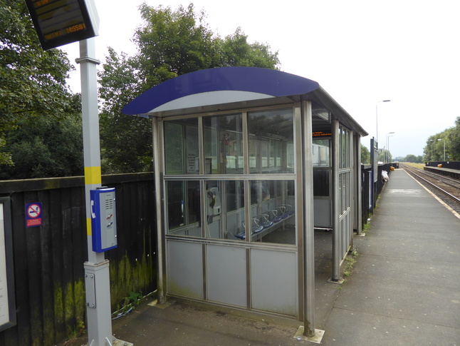
On platform 1 looking south at the shelter:
Looking north along platform 1 towards the level crossing:
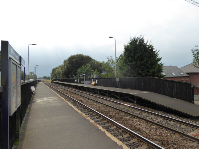
Looking south at both platforms, showing how platform 2 starts a little way away from the road:
All photographs are © Alexandra Lanes You may reproduce them anywhere for any purpose. Coastline maps are reproduced from Ordnance Survey map data by permission of the Ordnance Survey © Crown copyright 2001