
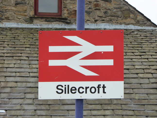
Silecroft
| CRS Code | SIC |
| Collected date | 14/09/15 |
Silecroft is on the Cumbrian Coast Line, but was skipped on 2014's station collecting holiday for reasons of time. This did mean we had quite a trek to get down to it the following year, when we were based rather further away. Still, we made it down there to fill in the gap, and found a quiet little village station looking rather neat.
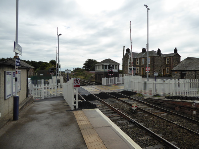
The station has two platforms, which are connected by the level crossing at the southern end of the station:
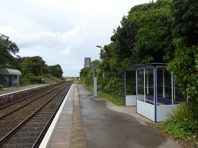
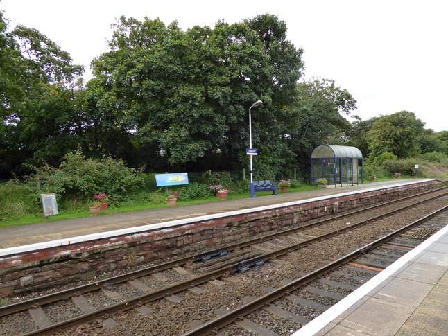
Standing on the south (Barrow) bound platform 2, looking northwards:
Platform 2 has a simple shelter:
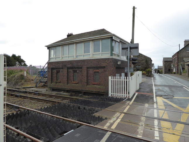
The level crossing is controlled by this signalbox:
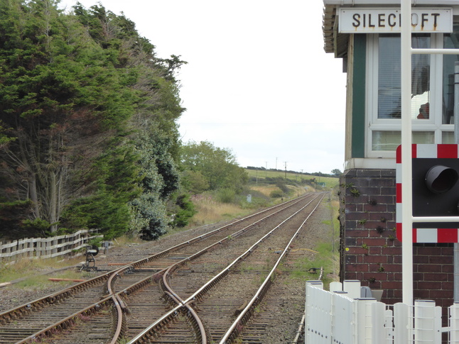
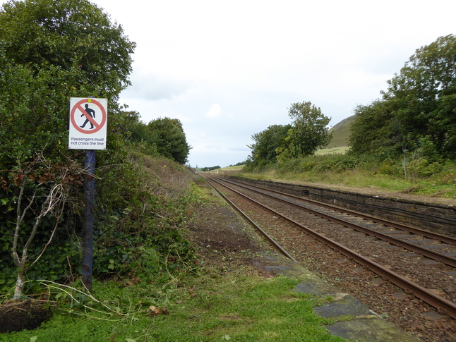
Looking south along the line from the signalbox:
On the other side of the level crossing looking north at platform 1:
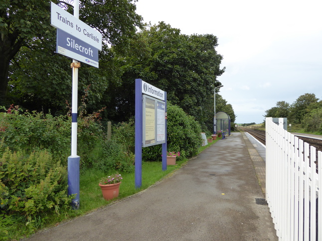
Platform 1 seen from platform 2:
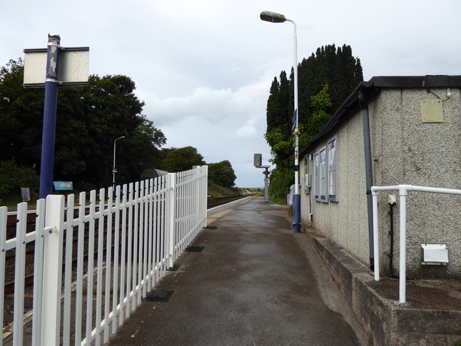
From the end of platform 1 looking north, with a disused length of platform visible:
All photographs are © Alexandra Lanes You may reproduce them anywhere for any purpose. Coastline maps are reproduced from Ordnance Survey map data by permission of the Ordnance Survey © Crown copyright 2001