

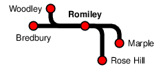
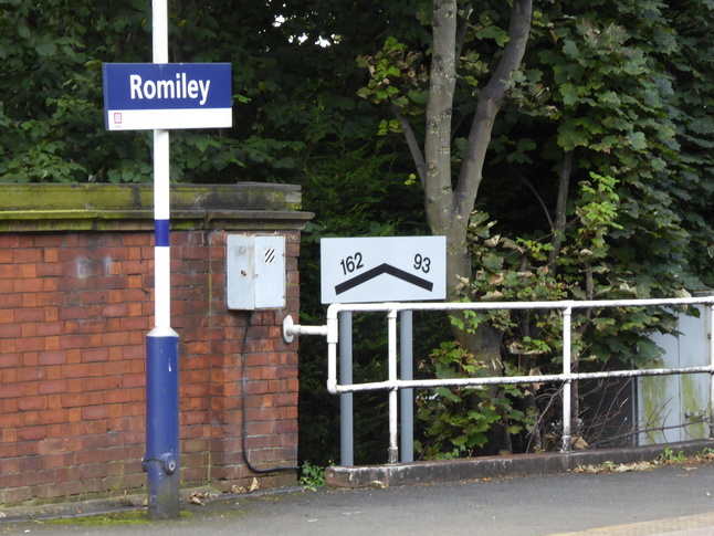
Romiley
| CRS Code | RML |
| Collected date | 12/09/16 |
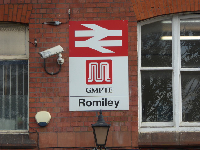
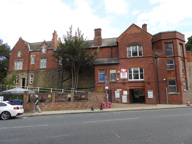
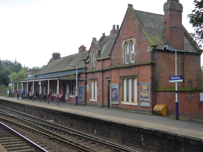
Romiley station serves the Romiley area of Stockport and has platforms elevated above ground level as the line crosses the Stockport Road. The front of the red brick station building, facing onto the road:
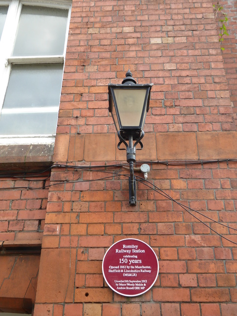
This plaque next to the entrance marks 150 years of the station, which was opened in 1862:
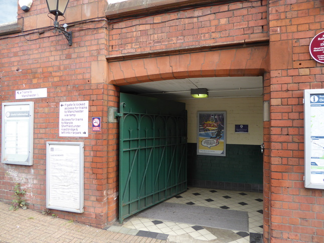
The street is on the platform 1 side of the station, for trains towards Manchester. There's an entrance ahead leading to the steps up to the platform, and a ramp on the left:
Steps lead up from ground level:
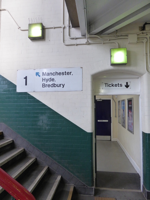
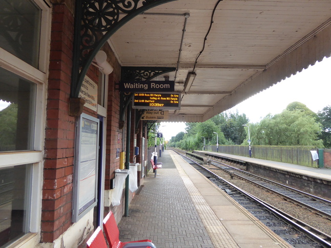
One floor up is the ticket office, while the steps continue upwards to platform level:
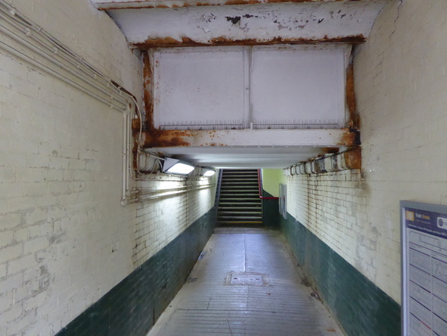
This mezzanine level is actually the "subway" level, providing a way to get to the other side of the station:
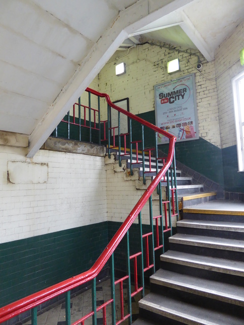
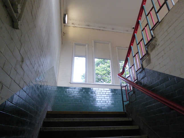
Further up the steps, we approach platform level:
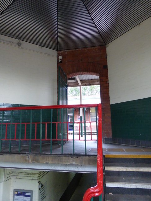
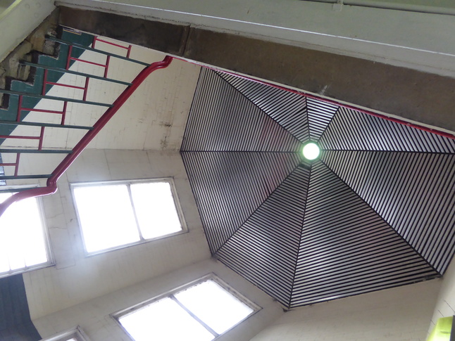
Looking up the stairwell at the octagonal roof:
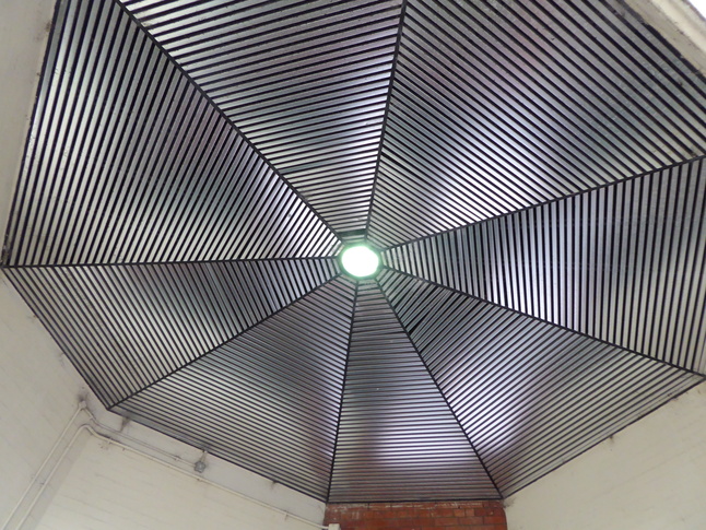
A closer look at the roof/ceiling:
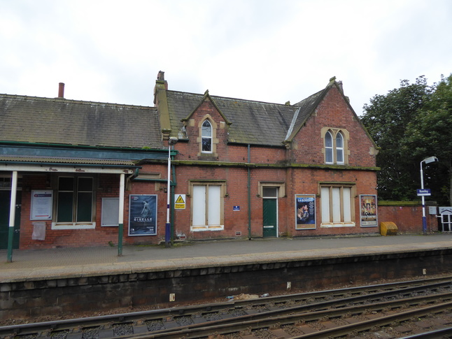
The steps lead out onto platform 1, and the rear of the station building:
Most of the windows are boarded up, however:
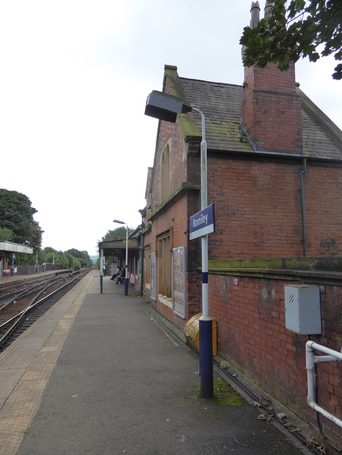
On platform 1 looking east:
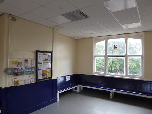
Platform 1 has a waiting room, which has a window looking out the front of the station, above the entrance:
Just west of the station building is this gradient sign:
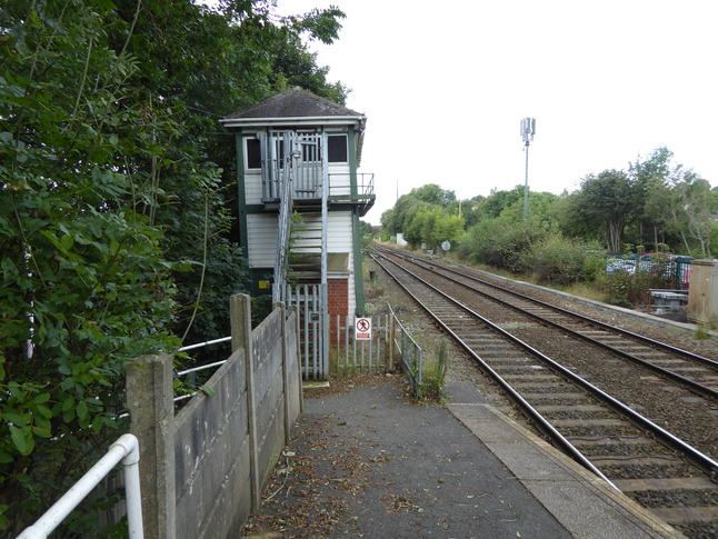
At the western end of platform 1 we can see the signalbox ahead and the ramped entrance to the platform emerging from the trees on the left:
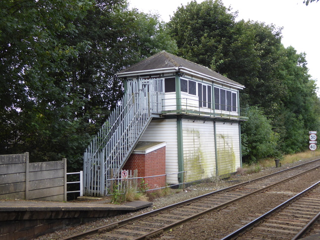
The signalbox:
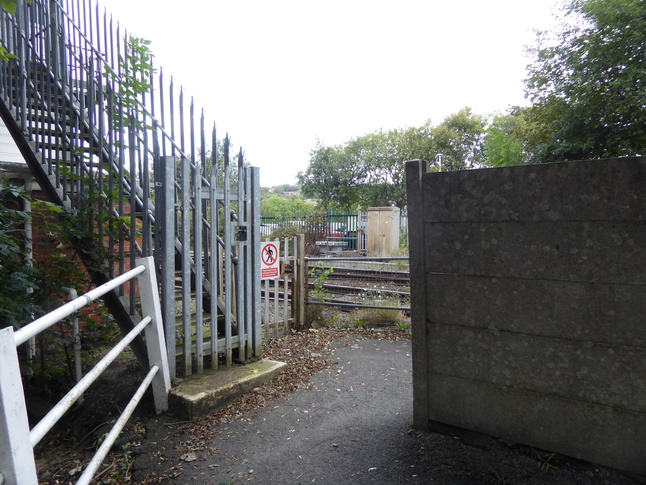
The ramp entrance to the platform:
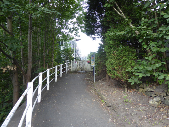
Further down the ramp, looking up at the signalbox:
So now to platform 2. There's the subway from the other side, of course, leading up steps to platform level:
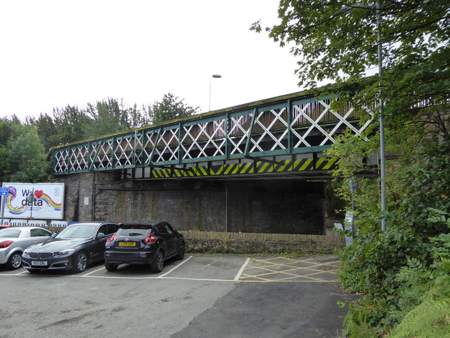
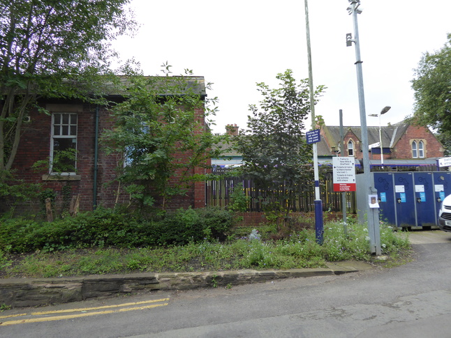
Alternatively if steps aren't your thing you can go under the bridge and enter the station car park:
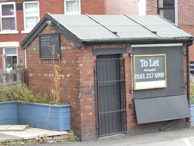
A small railway hut is to let at the entrance to the car park:
The car park leads round the back of platform 2's building:
The entrance to platform 2, next to the cycle lockers:
On platform 2, looking east:
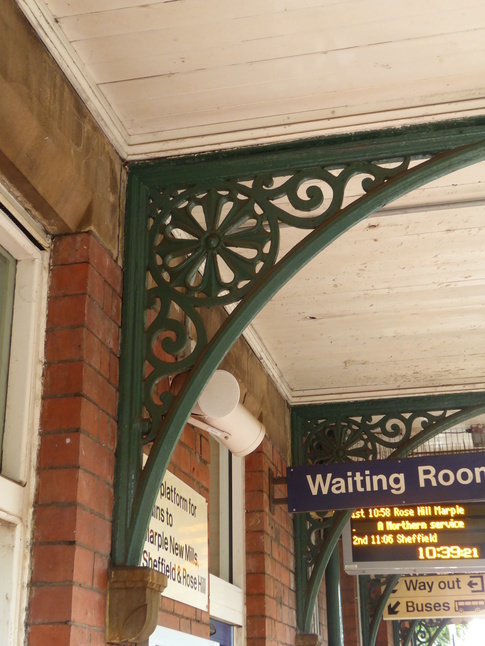
Detail of one of the spandrels:
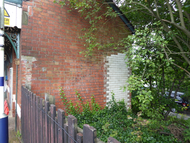
The side of the platform 2 building:
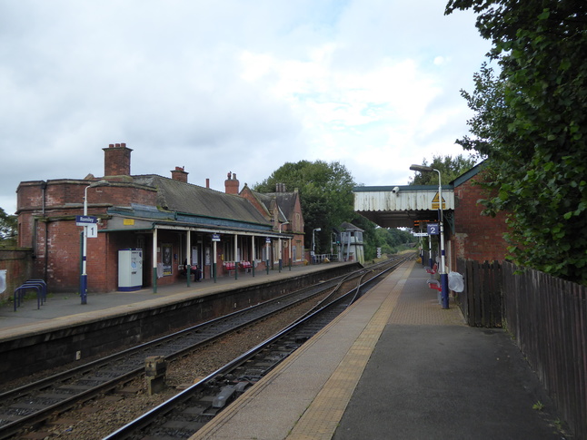
At the eastern end of platform 2 lookimg west:
All photographs are © Alexandra Lanes You may reproduce them anywhere for any purpose. Coastline maps are reproduced from Ordnance Survey map data by permission of the Ordnance Survey © Crown copyright 2001