


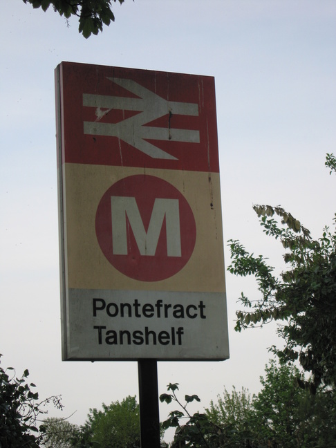
Pontefract Tanshelf
| CRS Code | POT |
| Collected date | 21/05/10 |
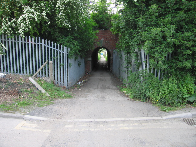
Judging from the route we took, walking from elsehwere in Pontefract, it looked like Pontefract Tanshelf was going to particularly desolate and dilapidated. The footpath led us under the line:
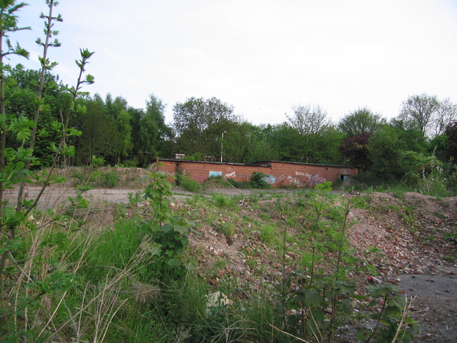
And then we saw the station in the distance:
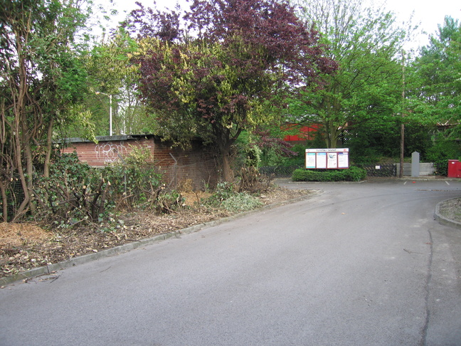
However, things got more civilised as we reached the station. Tha approach to platform 2:
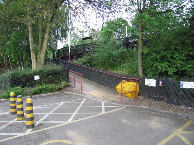
The entrance ramp to platform 2:
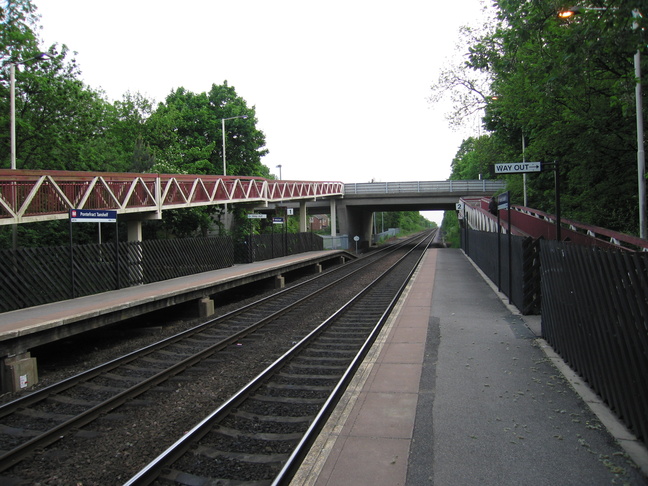
On platform 2, looking west towards the road bridge:
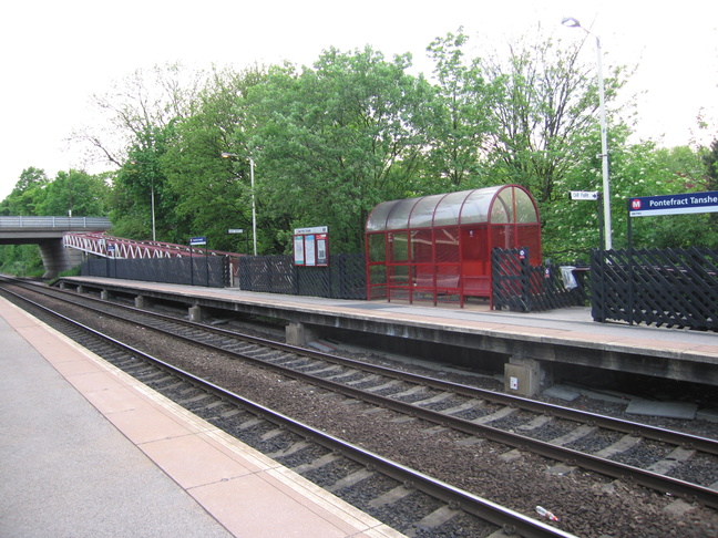
The shelter on platform 2:
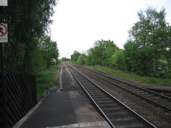
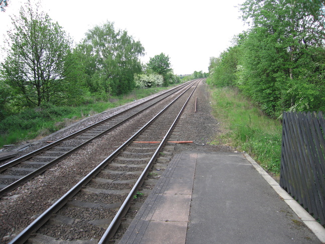
Looking east along the line from the end of platform 2:
Looking west along the line from the other end of platform 2:
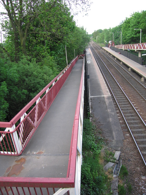
A long ramp connects platform 2 to the road bridge to the west of the station:
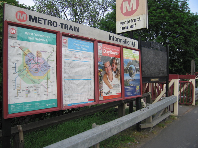
The entrance to platform 2 from the road bridge. It has a community rail noticeboard but it is rather blank:
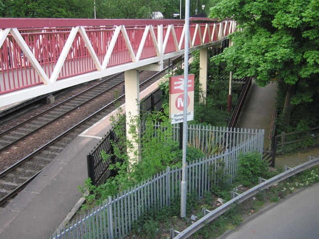
As well as an entrance from the road bridge, platform 1 has a ground-level entrance:
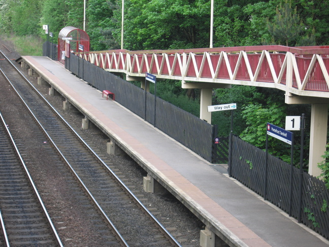
Platform 1 seeen from the road bridge:
All photographs are © Alexandra Lanes You may reproduce them anywhere for any purpose. Coastline maps are reproduced from Ordnance Survey map data by permission of the Ordnance Survey © Crown copyright 2001