
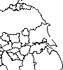
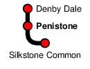
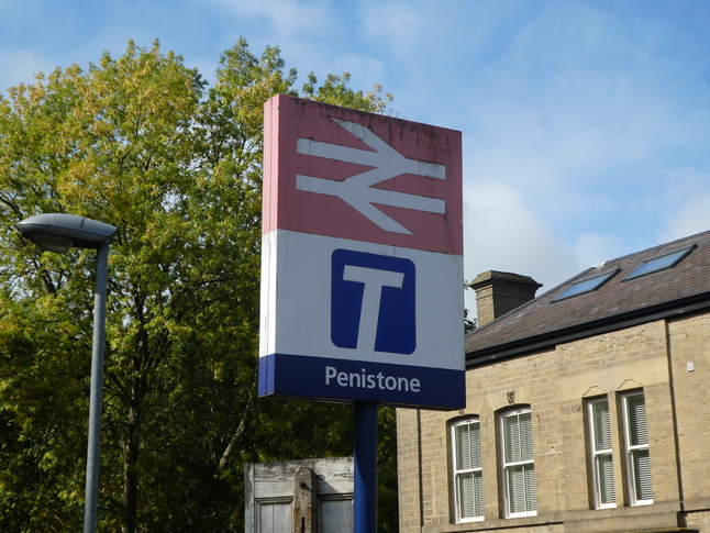
Penistone
| CRS Code | PNS |
| Collected date | 16/09/18 |
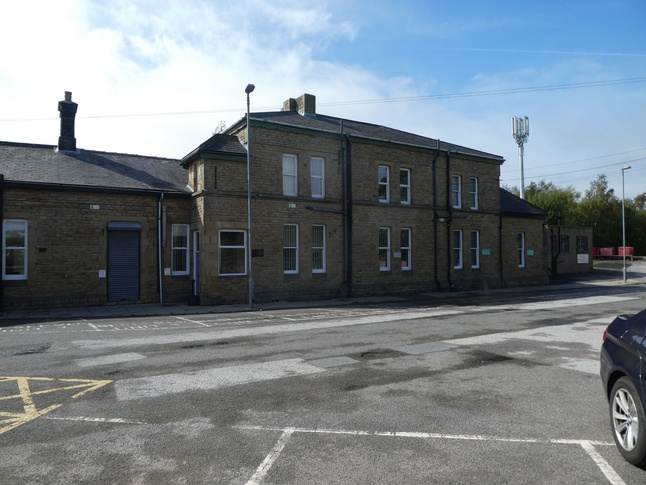
Penistone is an ex-junction, but possibly because the closed line that joined here closed quite recently there's still quite a lot of evidence of what was here before. The station building is still extant though in private hands, with its front facing towards the station's car park:
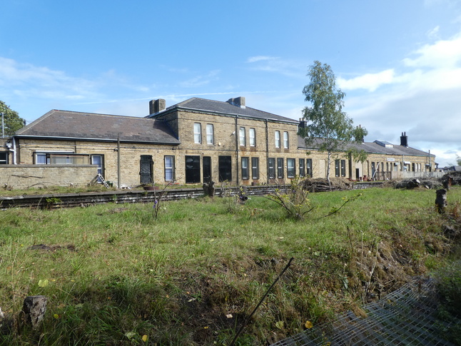
The rear of the station building faces on to the still extant platform for the former Woodhead Route towards Manchester:
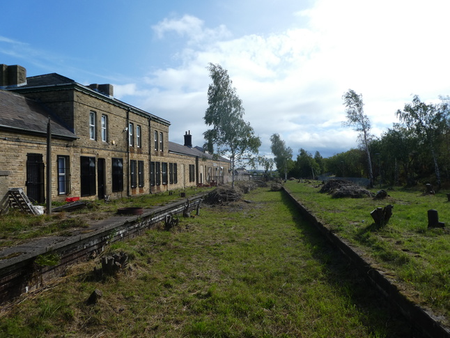
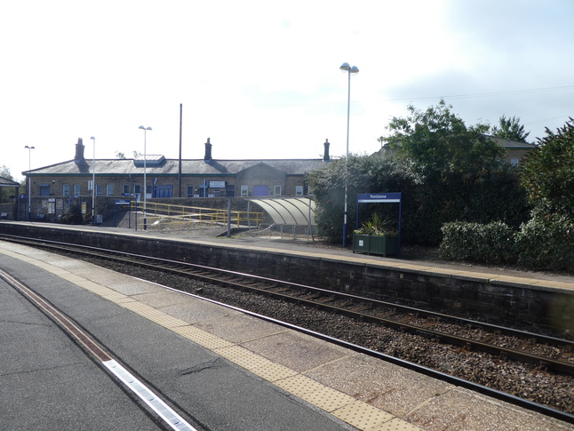
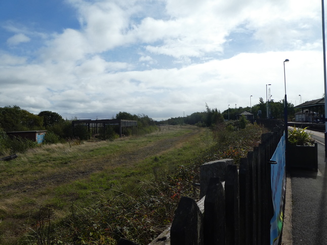
With the station building on our left we can look south down the disused trackbed:
From the other end of the station building looking north along the trackbed:
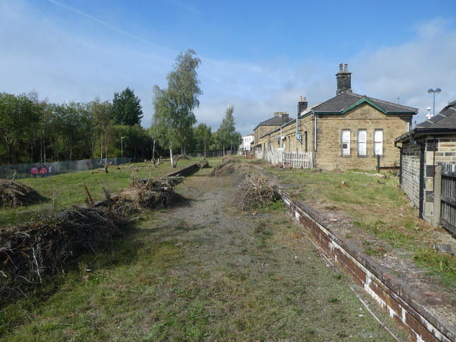
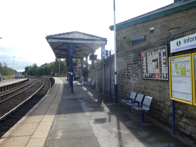
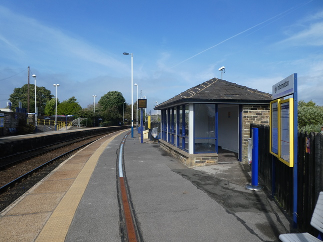
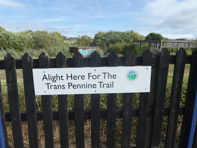
The trackbed, which continues south and west of the station, is now used by the omnipresent Trans-Pennine Trail, which we encountered so much on our explorings that we decided to cycle it to Snaith. Meanwhile, to our right from the above photo is the operational station's platform 2, which has both a new style shelter and a stubby section of canopy:
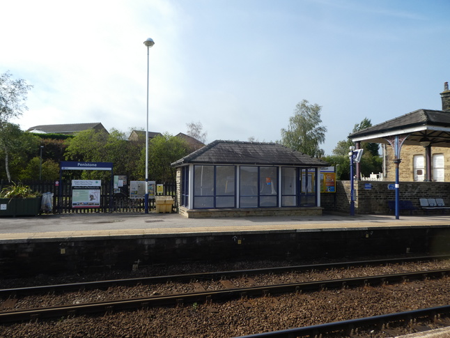
Further along platform 2 looking south at the canopy:
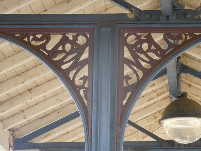
Detail of the spandrels supporting the canopy. The letters are, as far as I can make out, MSRL:
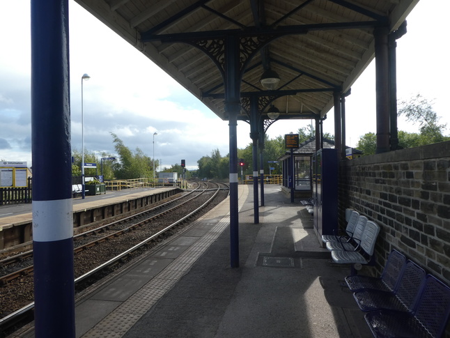
Under the canopy there is some seating:
Further north along platform 2 there are some murals:
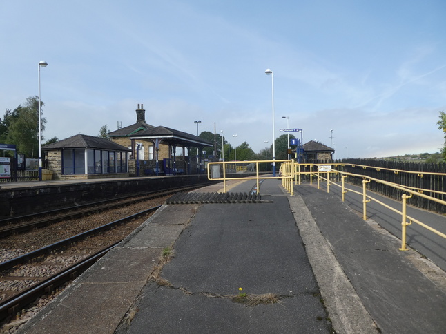
The northern end of paltform 2 has cycle storage and a ramp and steps up to the car park and the station building:
Looking north along platform 1 towards the ramp:
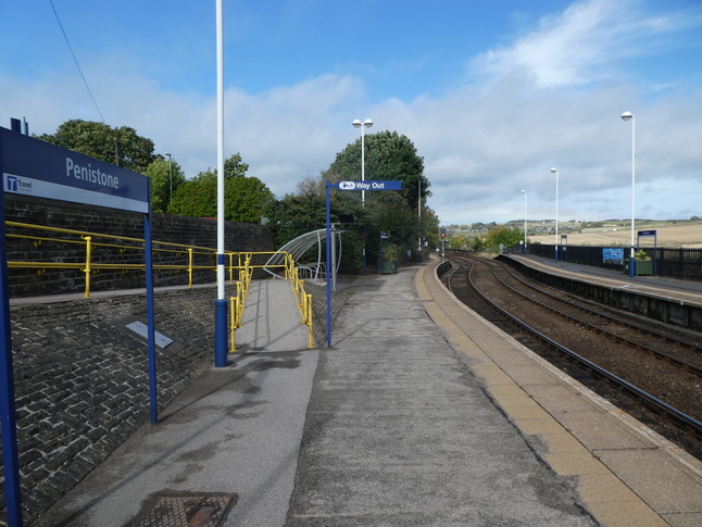
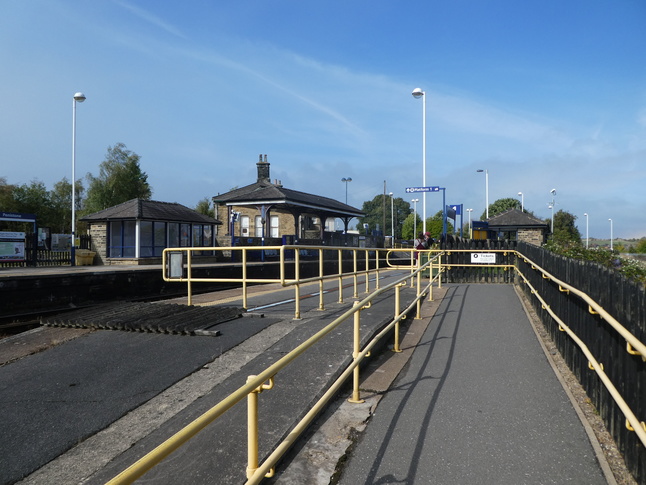
The ramp and steps lead back up into the car park:
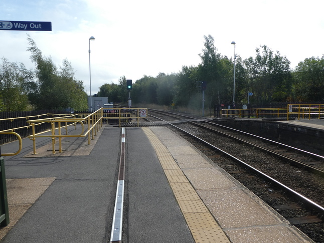
The way between the platforms is the barrow crossing at the southern end of the station. From this point we get a good view of both operational platforms:
The barrow crossing:
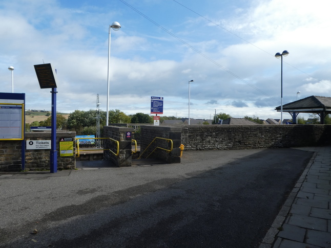
Looking up the ramp to platform 1:
The entrance:
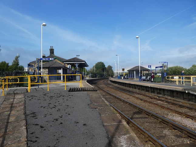
On platform 1 looking north at its small building:
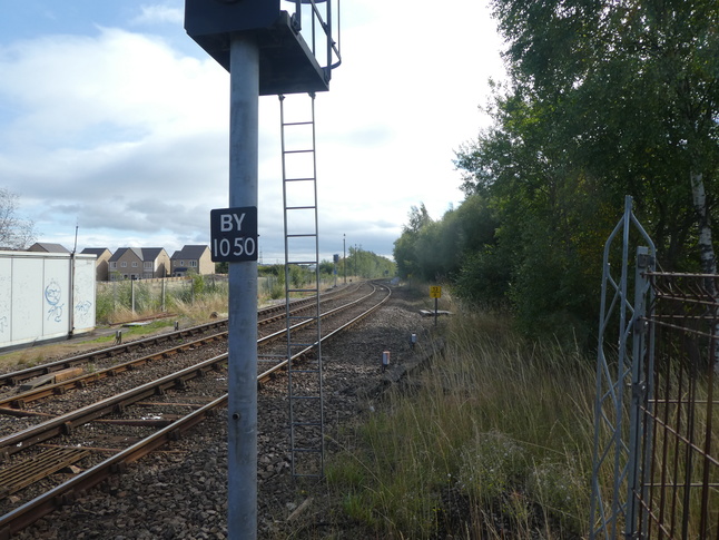
Looking north along the line from the end of platform 1:
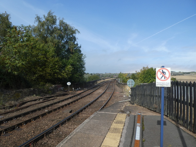
A sign on platform 1 tells me what it is for:
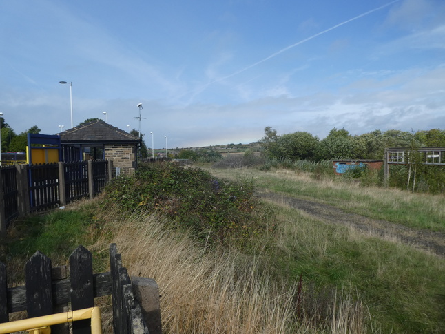
Behind the platform is an expanse of ballasted land which I guess must once have been sidings or a yard:
A view behind platform 1 from its other end:
Looking south along the line:
All photographs are © Alexandra Lanes You may reproduce them anywhere for any purpose. Coastline maps are reproduced from Ordnance Survey map data by permission of the Ordnance Survey © Crown copyright 2001