
Parton
| CRS Code | PRN |
| Collected date | 14/09/15 |
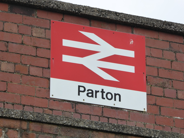
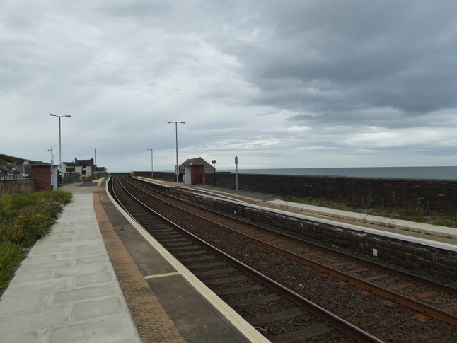
Parton's sign is stuck on the back of one of its shelters, part of the fairly minimal edifice necessary to get passengers up to the two platforms on their viaduct. Up the steps to platform 1 for southbound trains towards Barrow:
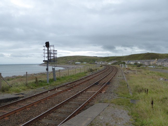
Looking north from the end of platform 1, the line can be seen clinging to the coast:
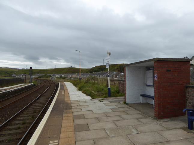
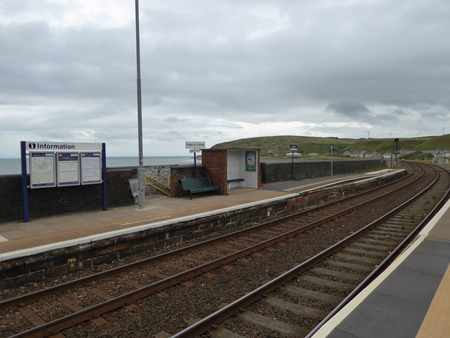
Looking south at both platforms from the northern end of platform 1:
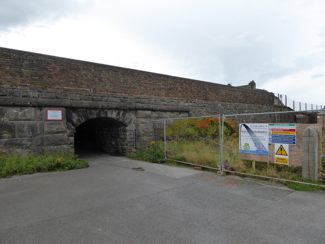
Access to the northbound platform 2 is via this subway:
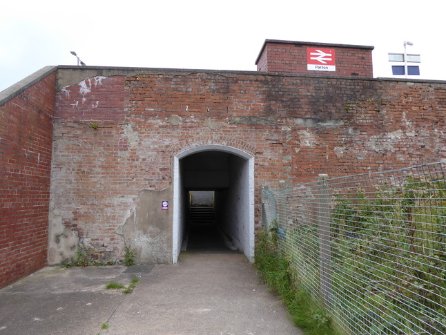
It leads up on to platform 2 via the steps to the left of the shelter:
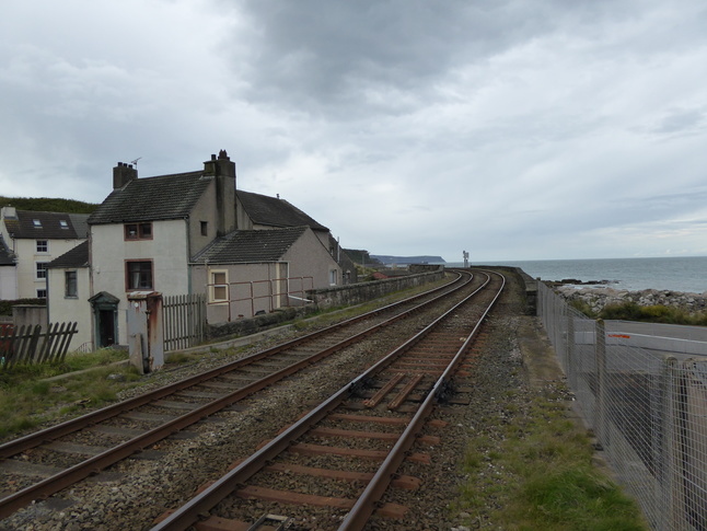
Looking south along the line from the end of platform 2:
Towards the southern end of the station the line bridges a road leading to the shore:
This gives a view of the rear of the platform 2 station building:

In the vicinity of the station is this mural. Sadly we saw neither biplanes nor steam locomotives at Parton:

All photographs are © Alexandra Lanes You may reproduce them anywhere for any purpose. Coastline maps are reproduced from Ordnance Survey map data by permission of the Ordnance Survey © Crown copyright 2001