
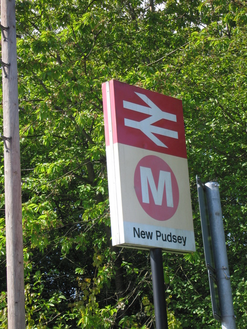
New Pudsey
| CRS Code | NPD |
| Collected date | 17/05/10 |
New Pudsey station lies to the west of Leeds, on the line towards Bradford Interchange, and was the first stop on Tuesday's travels.
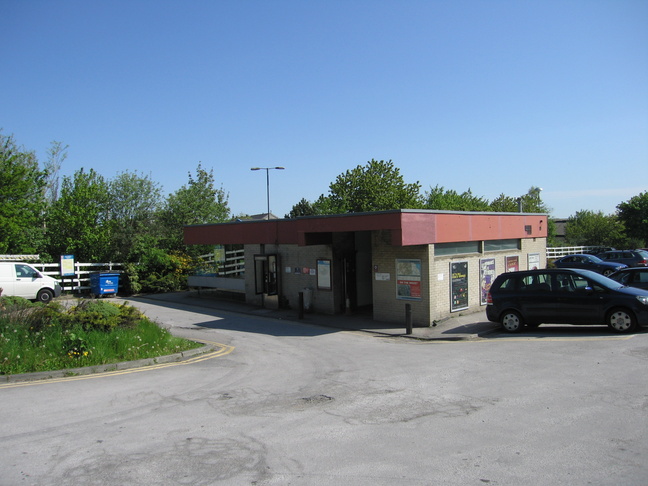
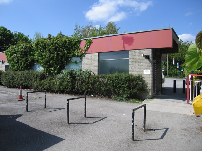
The station building, just south of the line:
The rear of the station building, which backs on to the car park. To the right is the footbridge which leads to the platforms:
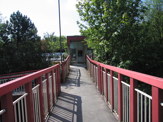
On the footbridge, looking south towards the station building:
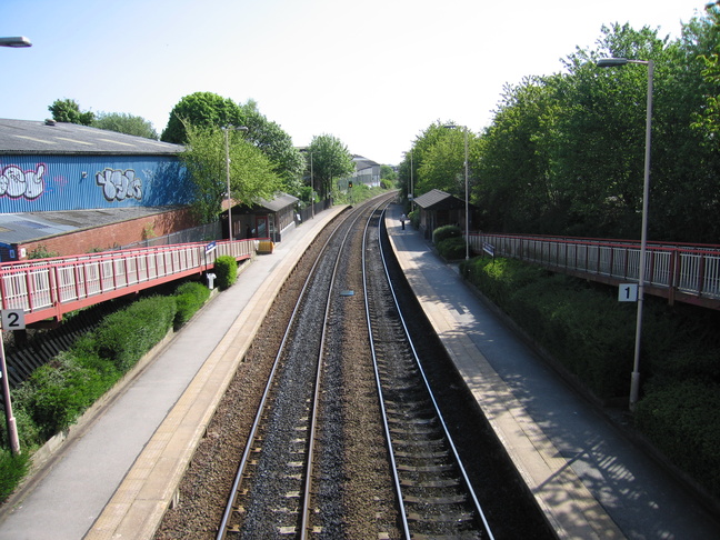
Looking east along the line from the footbridge:
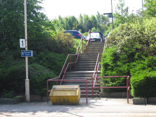
East of the shelter on platform 1 is a set of steps leading up to the car park:
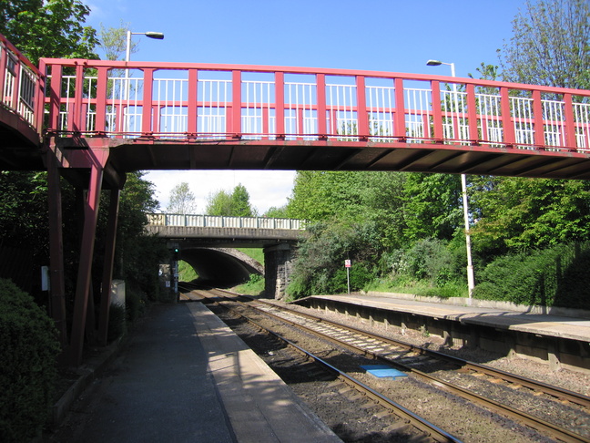
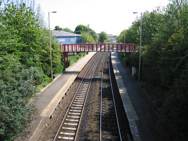
On platform 1, looking west at the three bridges which cross the line: first the station footbridge, then Owlcotes Lane, and then the A647:
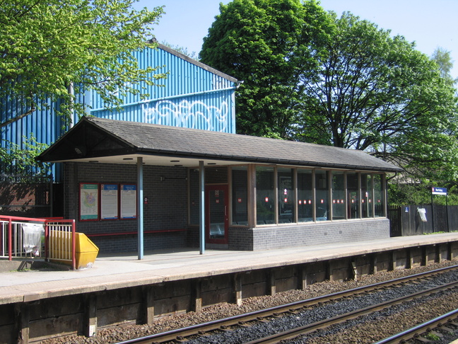
The shelter building on platform 2 has a similar design to others in the West Yorkshire area:
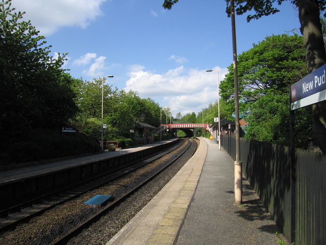
On platform 2 looking westwards:
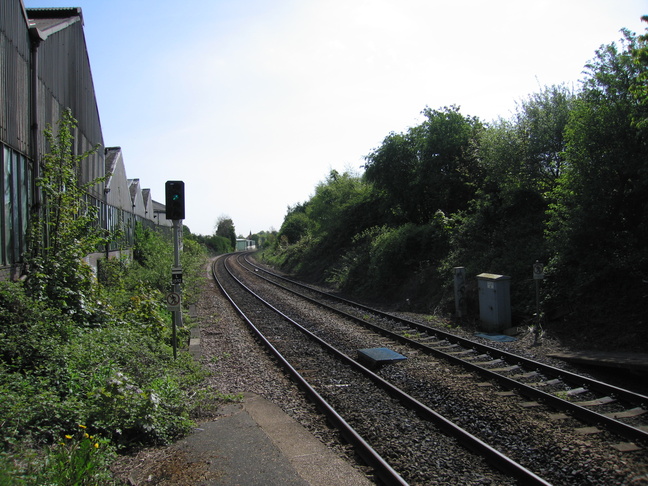
Looking east along the line from the end of platform 2:
A view of the station footbridge from the first road bridge:
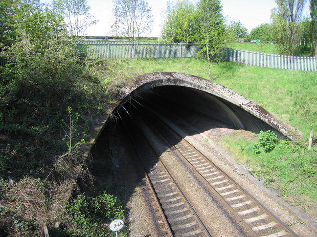
The curved mouth of the bridge (tunnel?) under the A647:
All photographs are © Alexandra Lanes You may reproduce them anywhere for any purpose. Coastline maps are reproduced from Ordnance Survey map data by permission of the Ordnance Survey © Crown copyright 2001