
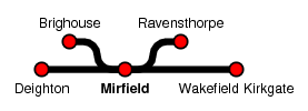
Mirfield
| CRS Code | MIR |
| Collected date | 20/05/10 |
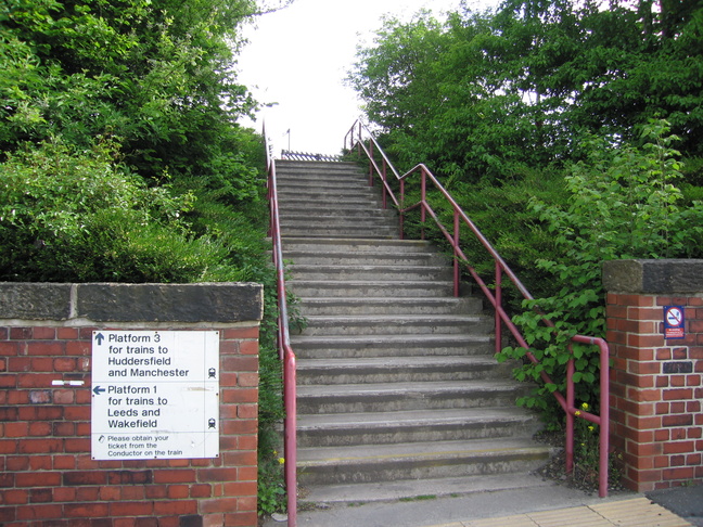
Mirfield station was the first station on day five of our travels in West Yorkshire, and its layout leaves hints of a more impressive past. The station consists of three platforms, two on an island platform belonging to the original station and a later addition in the form of platform 3.
Loooking up the steps which lead to platform 3:
The steps onto platform 3 can be seen at the right of this picture from the other side of the line:
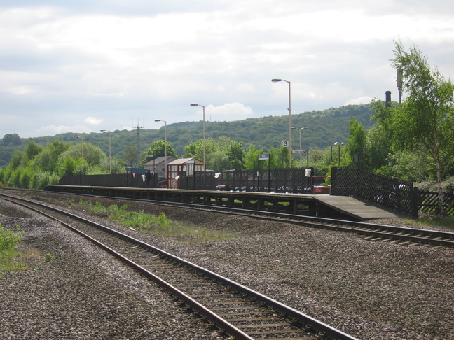
On platform 3, looking west. The island platforms 1 and 2 can be seen on the right:
At the eastern end of platform 3, looking west:
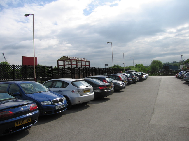
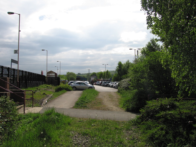
South of platform 3 is the car park:
Looking east at the carpark with the entrance to the platform on the left:
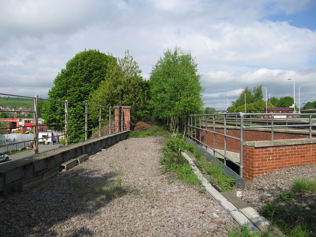
Looking west from here we see the bridge over the road, which has what was presumably once more trackbed crossing the road:
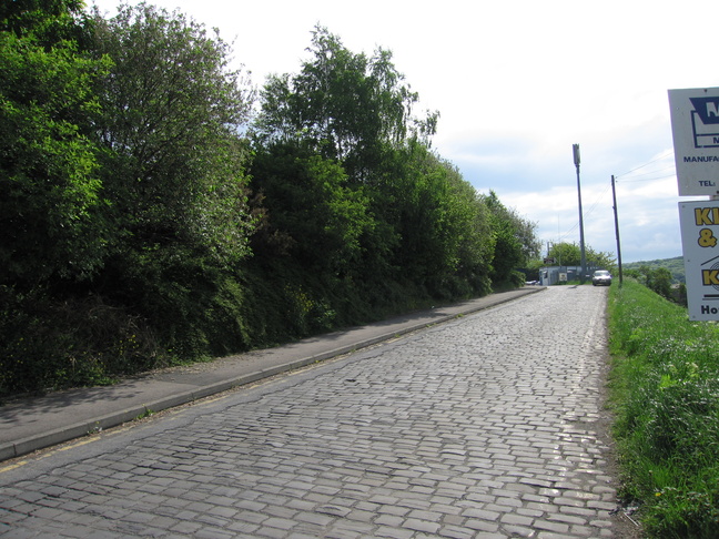
The slightly rough approach to Mirfield's car park:
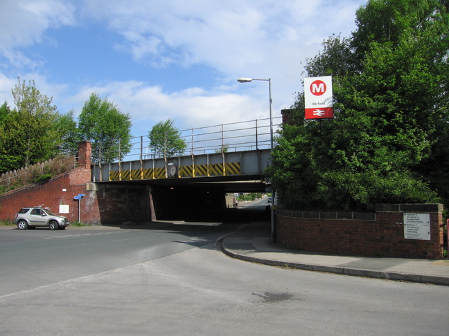
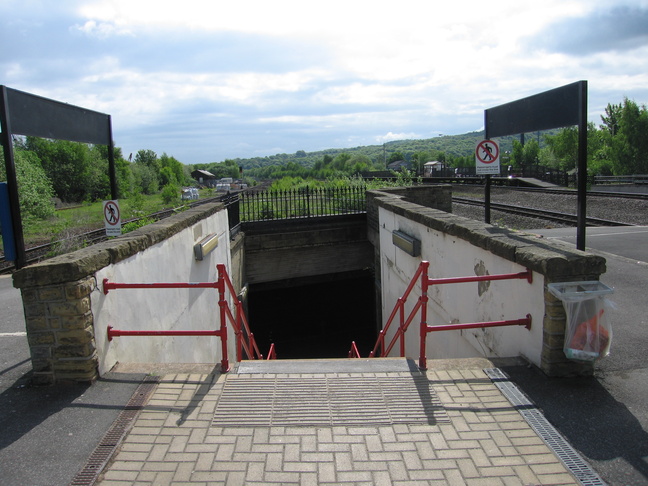
The bridge which carries the line over the road is the way we get to the island platform. On the right of this shot is the pedestrian route to platform 3:
Under the bridge, the slightly dingy entrance to the island platforms 1 and 2:

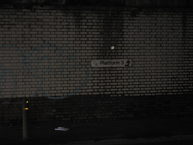
Behind us, a sign telling us how to get to platform 3:
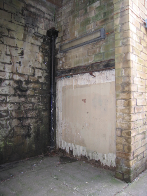
Something boarded up at the bottom of the steps up to platform level:
At the top of the steps looking down:
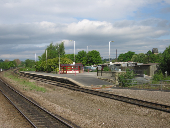
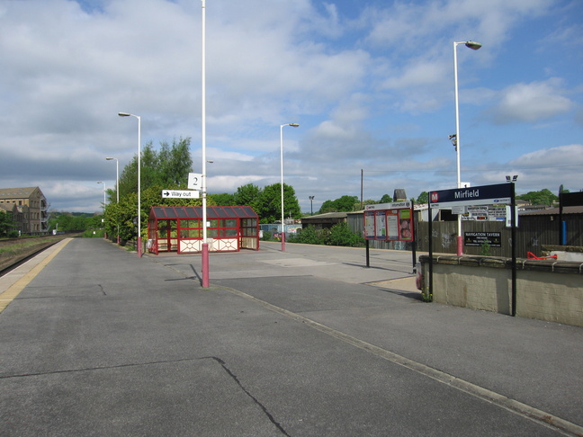
A view of the Mirfield island platform from platform 3:
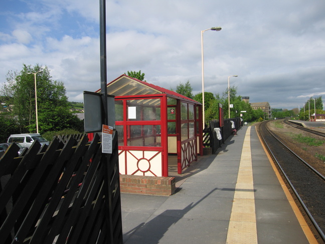
On platform 2, looking west, with the entrance to our right:
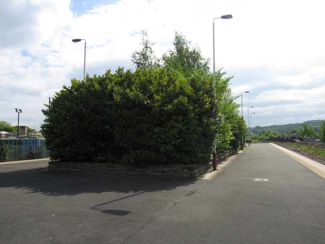
The big island platform once had station buildings on it, but now just a lot of shrubbery:
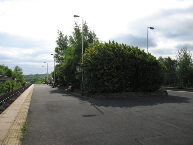
On platform 1, looking eastwards:
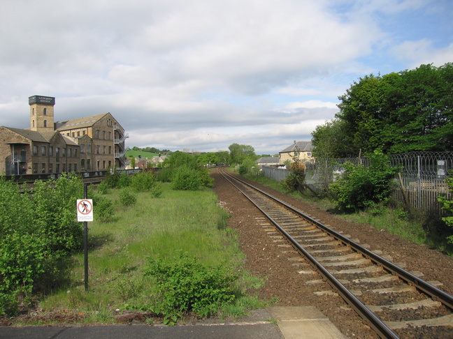
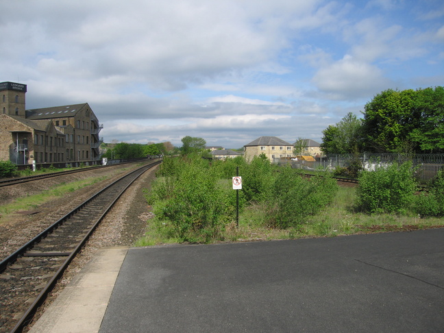
Looking west from the end of platform 1, with the old Ledgard Bridge Mill building (now apartments) on the left:
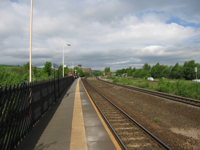
Looking west along the line at Mirfield:
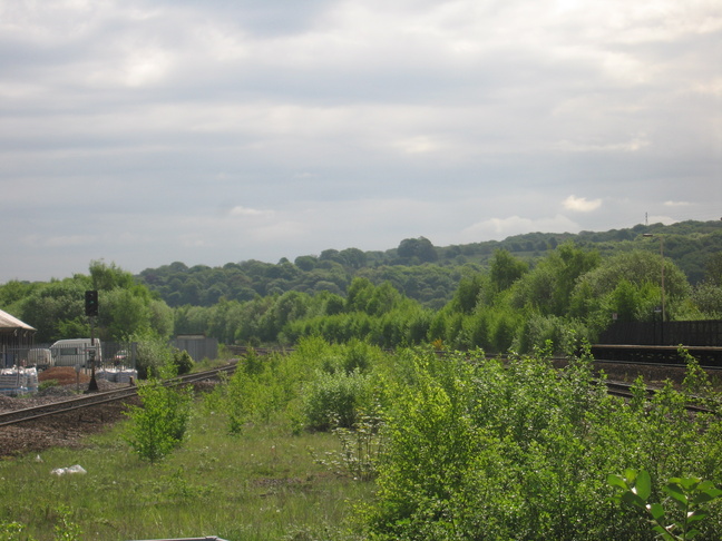
Looking east from the end of the island platform:
All photographs are © Alexandra Lanes You may reproduce them anywhere for any purpose. Coastline maps are reproduced from Ordnance Survey map data by permission of the Ordnance Survey © Crown copyright 2001