

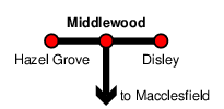
Middlewood
| CRS Code | MDL |
| Collected date | 12/09/16 |
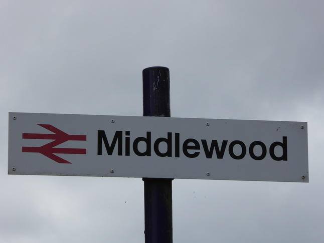
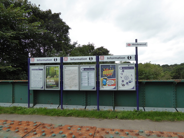
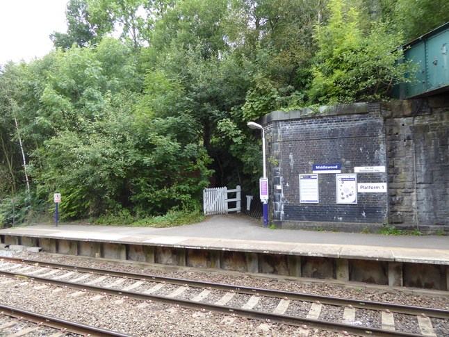
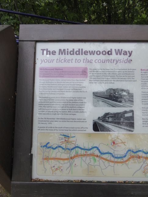
Middlewood station is appropriately enough in the middle of a wood, accessible only by tracks through the woods in the Poynton district of Cheshire. The station was originally two, Middlewood Lower, with the now closed Middlewood Higher station on the overbridge above. Now there is only Middlewood, with the Higher station's trackbed converted to a "linear park" connecting Marple and Macclesfield. The bridge over the extant line has the station's information boards:
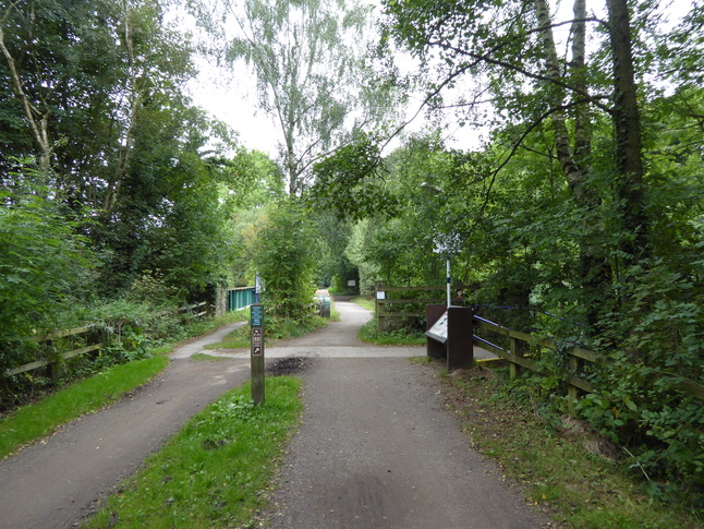
On the old trackbed looking north towards the bridge:
Steps lead down from the higher level down to platform 2:
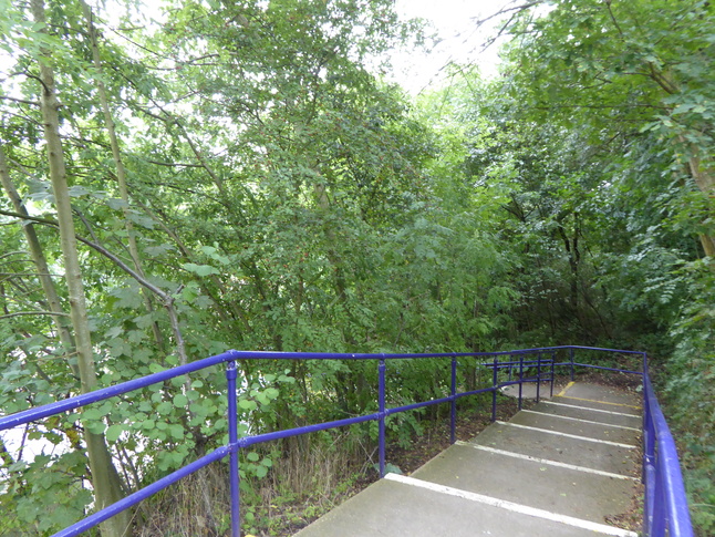
On platform 2 looking up the steps:
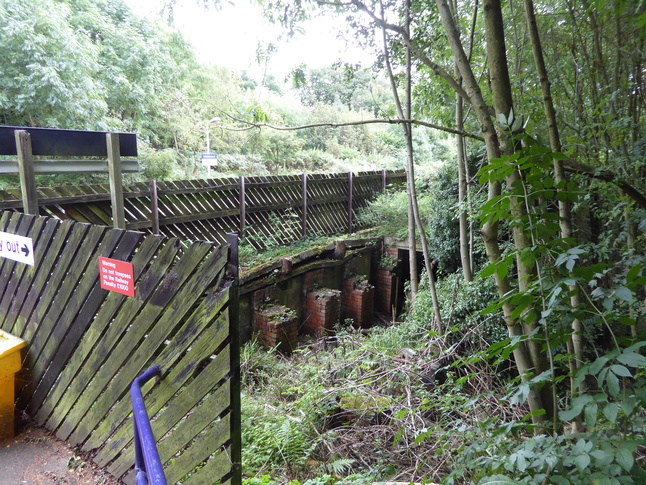
Looking round the fencing at the end of the platform 2 steps we can see some crumbling brick piers and a doorway:
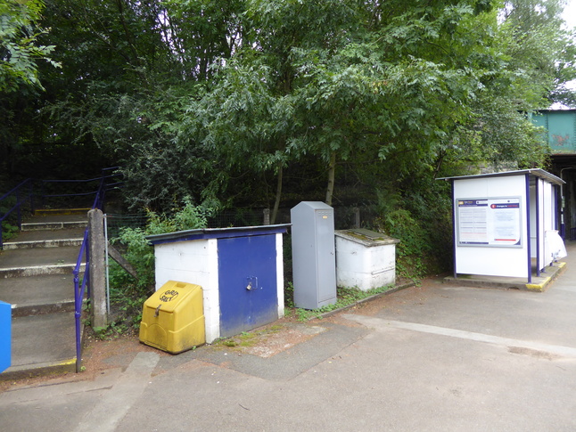
On platform 2 looking east along the platforms; the steps enter platform 2 just behind the shelter:
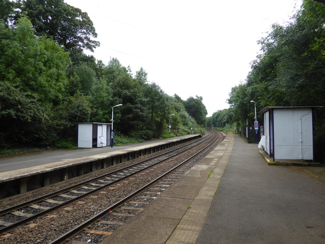
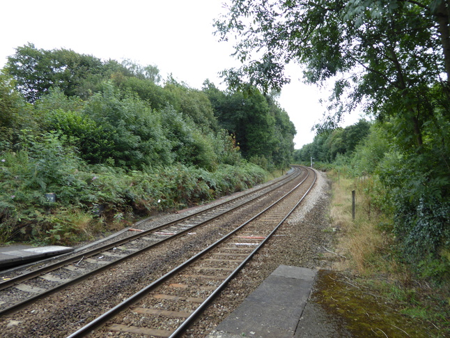
Looking east along the line from the end of platform 2:
Looking west at the station from the same point:

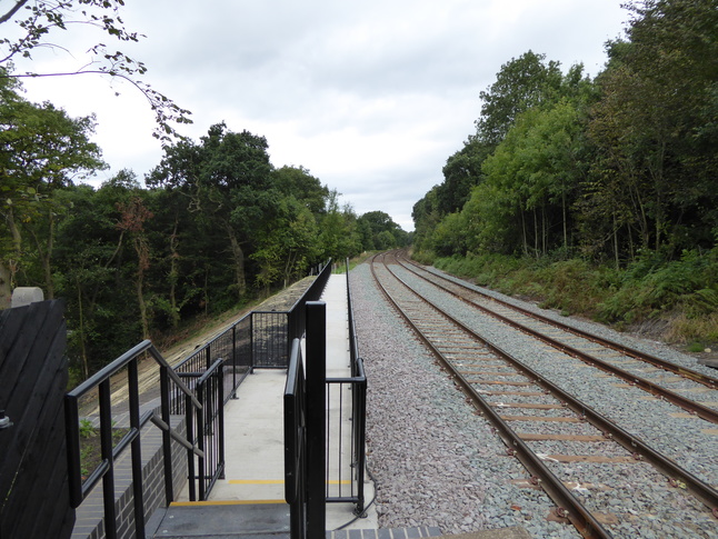
Walking to the other end of platform 2 we can see how the old line crosses the current one:
Looking west along the (freshly reballasted and buttressed) line:
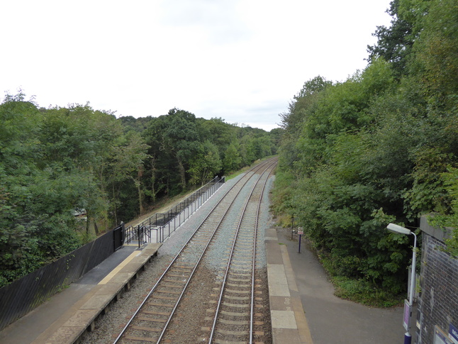
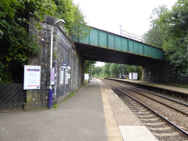
Back up to the bridge, we can get a better look west along the line:
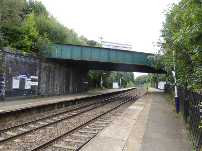
Looking east at the station from the bridge:

Looking at the bridge from the south side:

There is a ramped entrance from the bridge to platform 1:

The entrance to platform 1:
Looking east along platform 1:
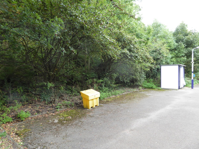
On platform 1 there is a big gap next to the shelter:
What is Middlewood station for?
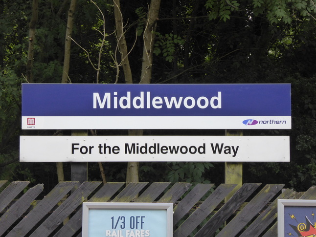
Up on the old trackbed there's a bit of information about the Middlewood Way:
All photographs are © Alexandra Lanes You may reproduce them anywhere for any purpose. Coastline maps are reproduced from Ordnance Survey map data by permission of the Ordnance Survey © Crown copyright 2001