


Manchester Airport
| CRS Code | MIA |
| Collected date | 11/09/16 |
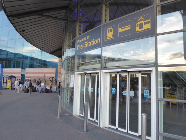
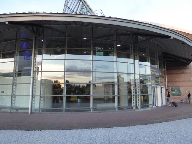
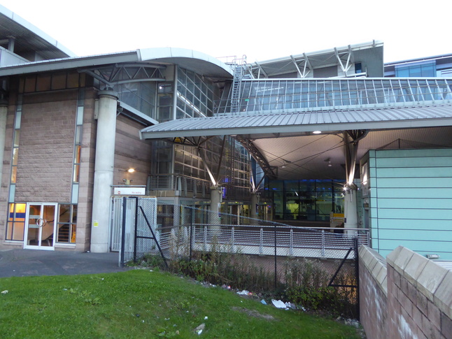
Manchester Airport station is signposted throughout the airport as simply "The Station" so it's no surprise that that name appears on the rotunda that's the entrance to the station buildings:
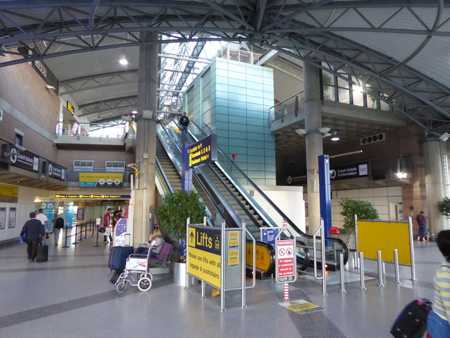
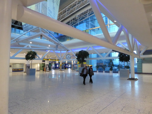
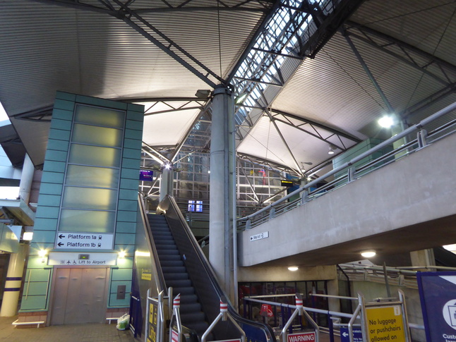
Inside the front is a large concourse area with escalators up to the first floor for links to the rest of the airport:
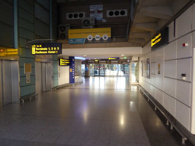
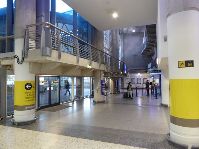
Either side of the centre of the concourse corridors lead towards the platform area of the station:
Looking along the rear of the concourse section:
Behind the previous shot is a mysterious cavernous void with little apparent purpose. In the far corner it leads to buses and coaches:
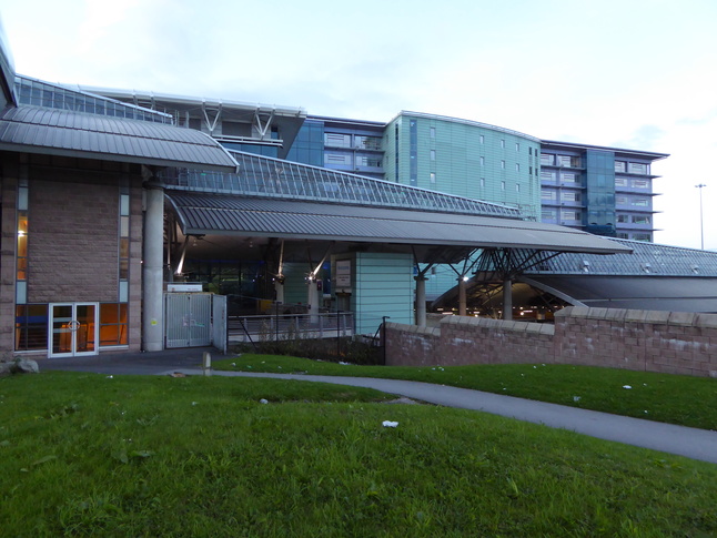
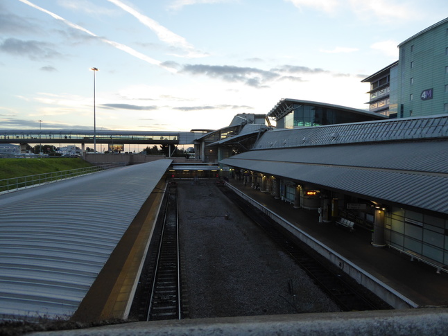
Above the platforms the station has a series of wing-like roof canopies. This long view of the side of the building gives an idea of the overall shape:
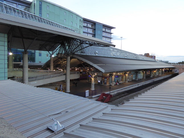
Looking slightly more down the axis of the roof:
Back inside we've walked into the area of the station proper, under the roof, looking east:
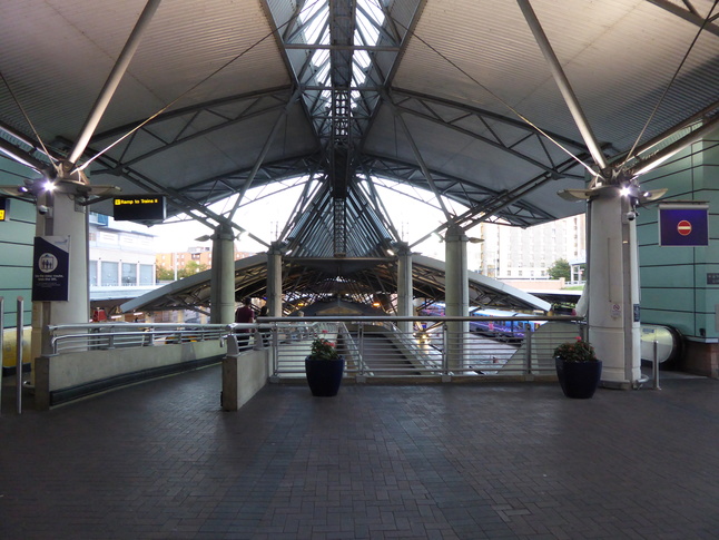
A view of the same area from the side:
I particularly like the (apparently) floating ramp:
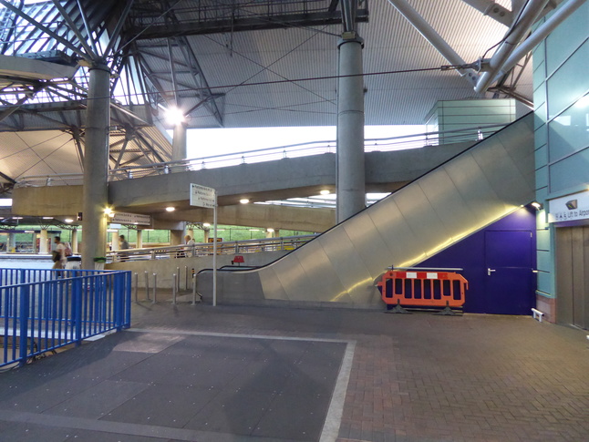
Looking up with the ramp to our right:
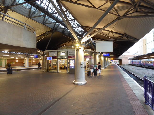
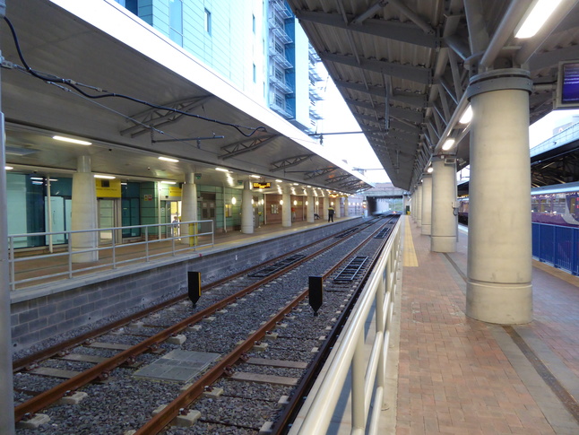
Down on platform level, we're on the island platform 2, one of the two original platforms at the station, under the roof. Looking at the buffers of platforms 1 and 2:
Looking east along platform 2:
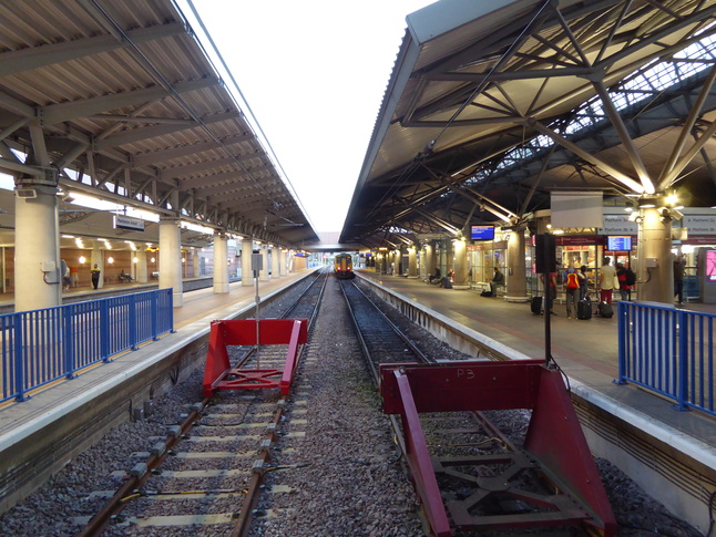
About half way along the platforms a road bridge runs over the lines, giving us this view of platforms 1 and 2 from the bridge:
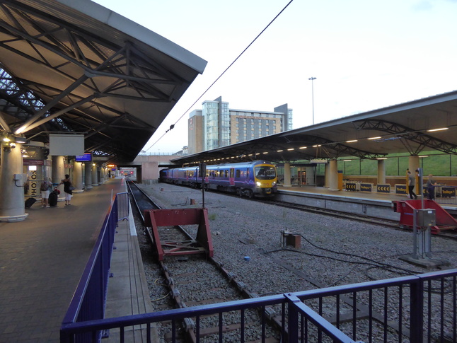
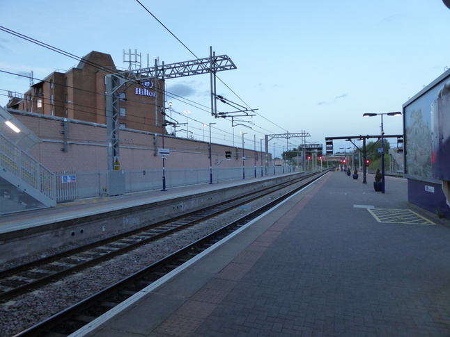
The platforms continue beyond the bridge. Here are platforms 1 and 2 looking east:
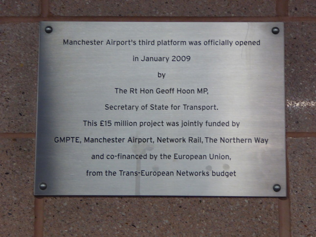
This plaque at the end of platforms 1 and 2 mark platform 1's opening as the station's third platform:
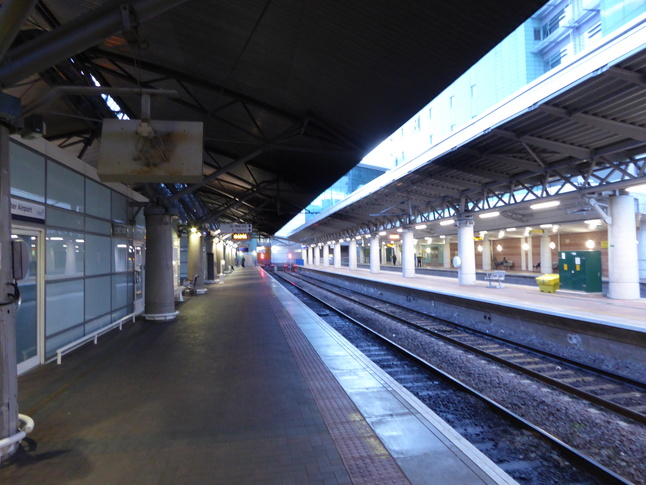
Platform 3 sits on the opposite side of the central island from platform 2. Looking along the line from the buffers of platforms 3 and 4:
On platform 3 looking west towards the end of the line with platform 4 on the right:
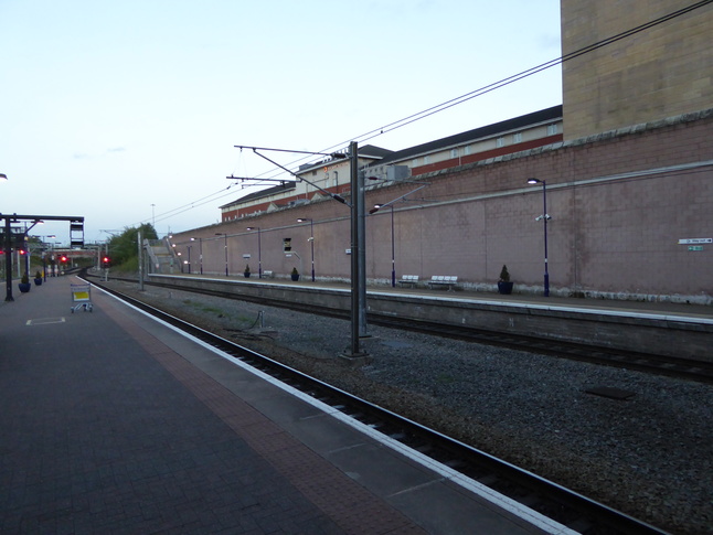
Further east, looking west from under the road bridge over the lines:
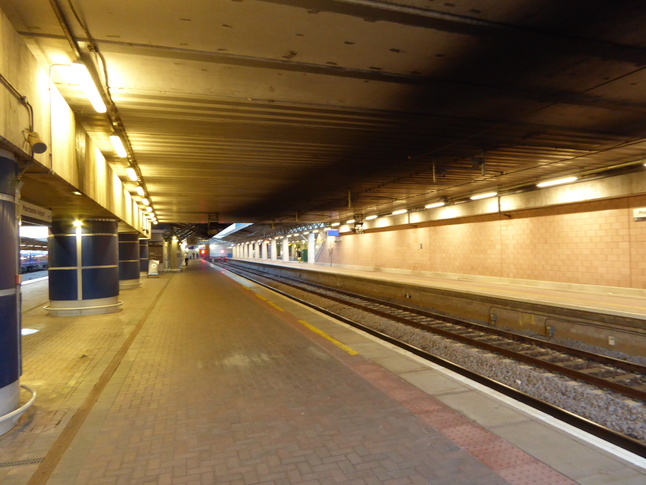
Beyond the road bridge, looking east along platform 3:
North of platforms 3 and 4 are the two Metrolink platforms:
All photographs are © Alexandra Lanes You may reproduce them anywhere for any purpose. Coastline maps are reproduced from Ordnance Survey map data by permission of the Ordnance Survey © Crown copyright 2001