
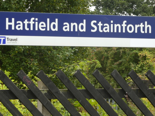
Hatfield and Stainforth
| CRS Code | HFS |
| Collected date | 17/09/18 |
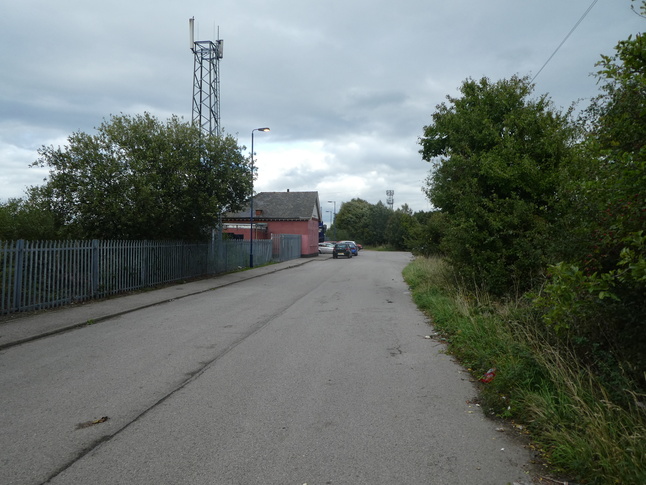
Hatfield and Stainforth station sits between the two settlements it's named after but is surrounded by quite a lot of nothing, mostly because the now-closed Hatfield Colliery was until recently just north of the railway line. To get to the station you go down a long road from Hatfield:
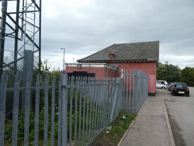
A bricked up building remains at the station site. Its west side:
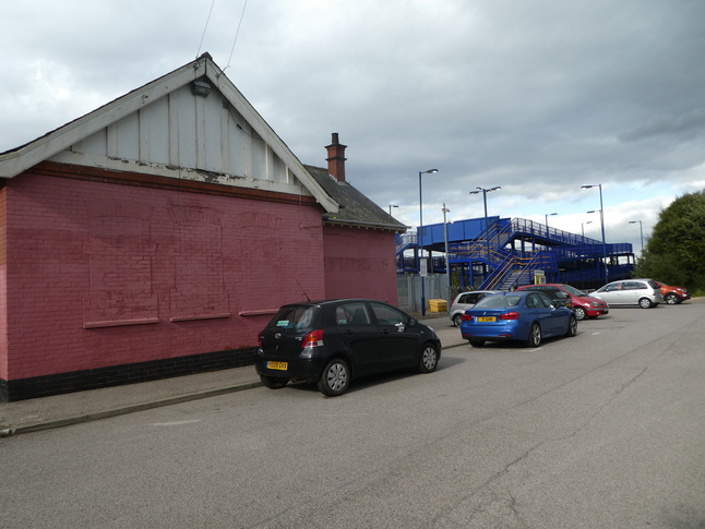
The former windows of the station building face the car parking area:
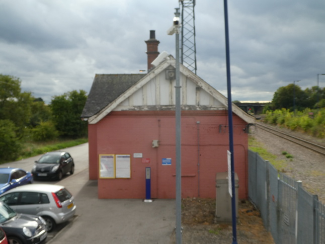
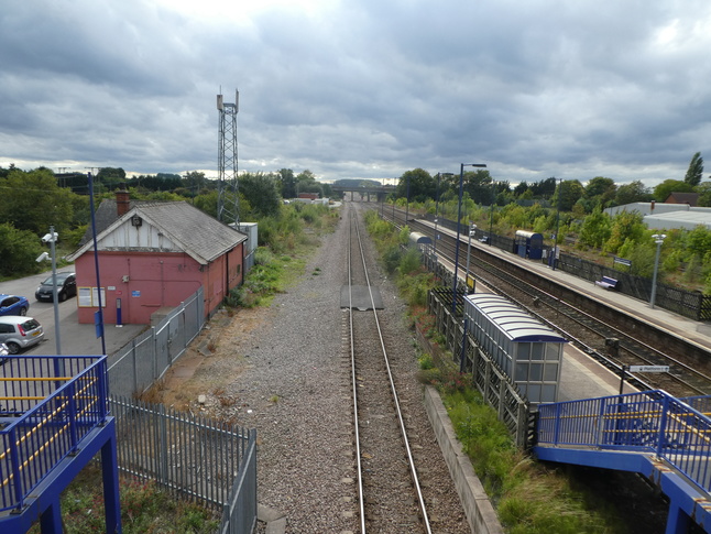
The east side of the station building faces the modern footbridge which leads to both platforms:
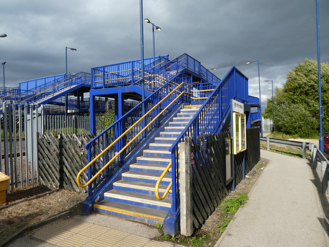
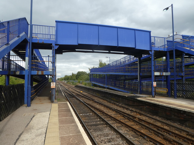
The big modern footbridge has both steps and (round to the right) ramps:
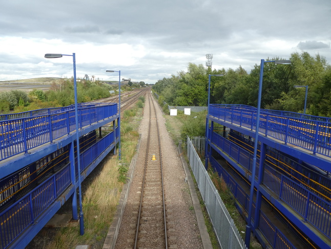
The first span of the footbridge crosses the down slow line. Looking west from the footbridge:
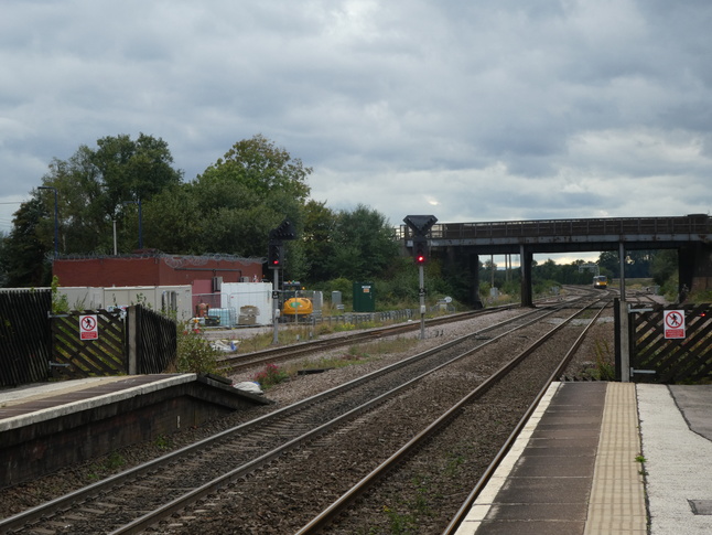
Looking east from the same point:
After that first span steps and a ramp lead down to platform 1, and then we're over the up and down fast lines:
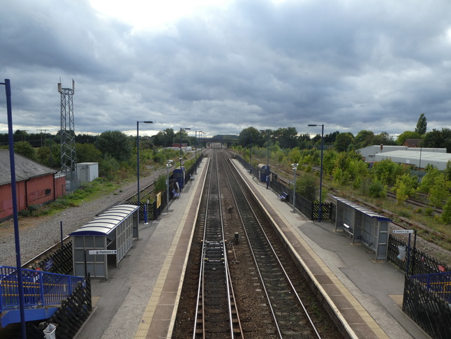
Looking east along the line from the footbridge:
Looking down the steps towards platform 2, with old colliery sidings on the right:
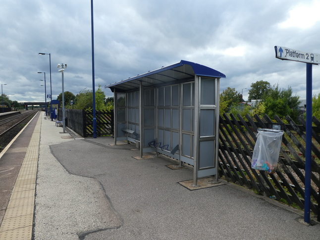
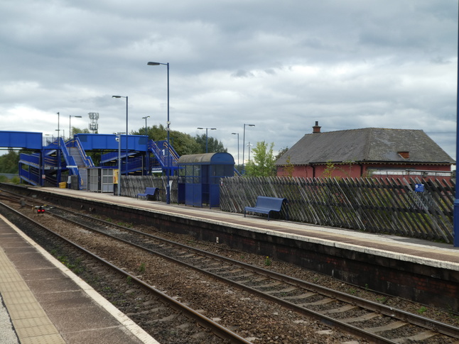
Looking east from platform 2 at the ramped route up to the footbridge:
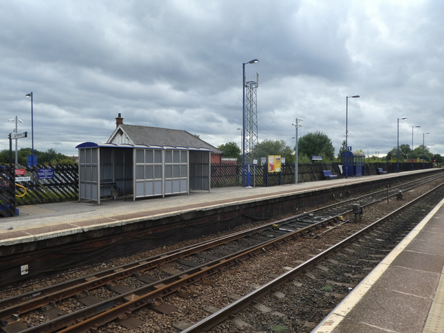
Looking west along platform 2:
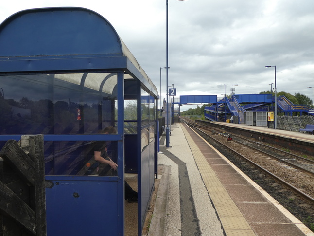
On platform 2 looking east:
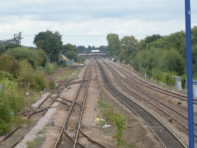
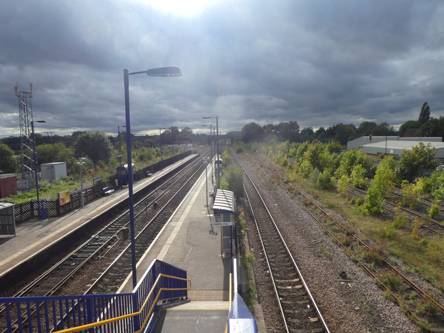
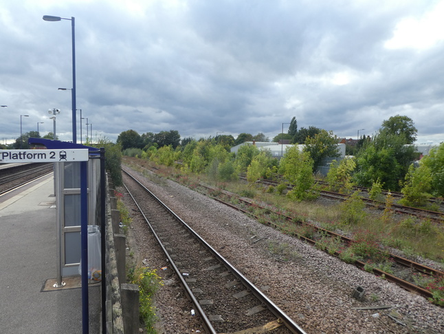
Looking west along the line from the end of platform 2:
Over the fence at the up slow line and sidings:
Looking over at platform 1:
All photographs are © Alexandra Lanes You may reproduce them anywhere for any purpose. Coastline maps are reproduced from Ordnance Survey map data by permission of the Ordnance Survey © Crown copyright 2001