
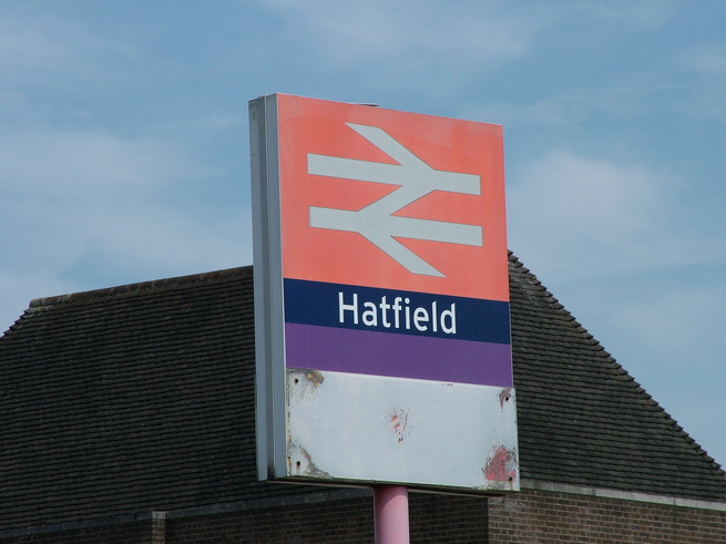
Hatfield
| CRS Code | HAT |
| Collected date | 26/04/08 |
Hatfield is a station on the East Coast Main Line, to the east of the town it serves. Sadly the location is best known for the 2000 crash a mile or so south of the station.
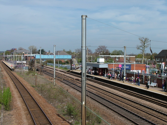
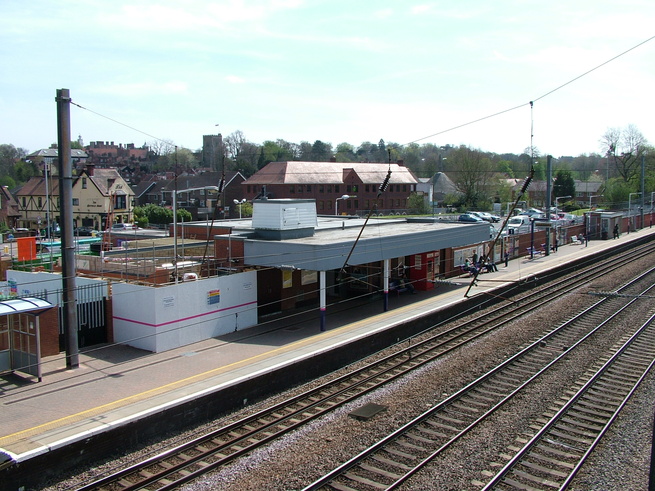
The station building lies to the east of the line, on the opposite side from the bulk of modern Hatfield. A footbridge crosses the line at the south end of the station, giving a good view of the station as a whole:
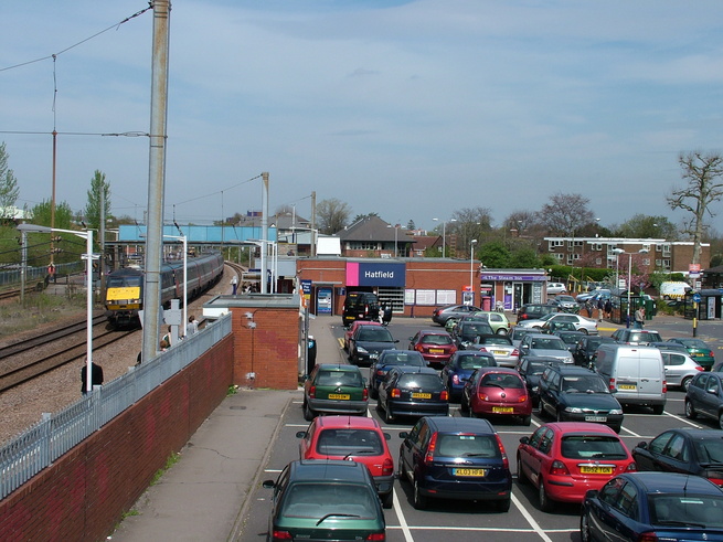
The car park and building seen from the footbridge:
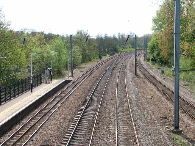
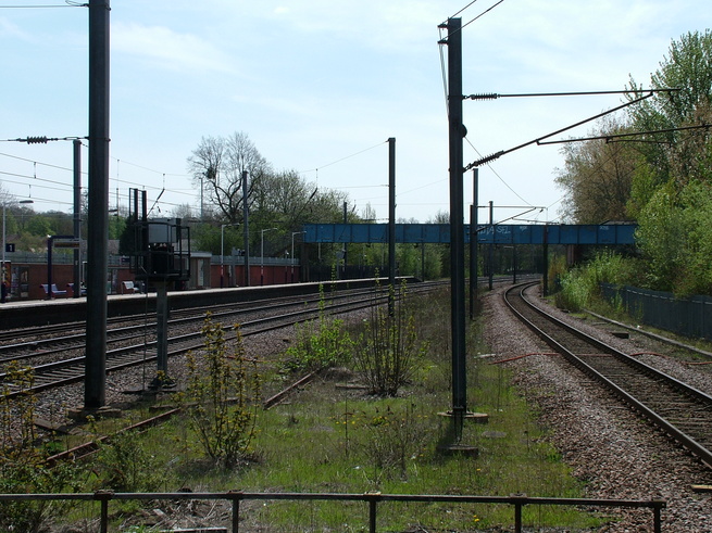
Looking south along the line from this footbridge:
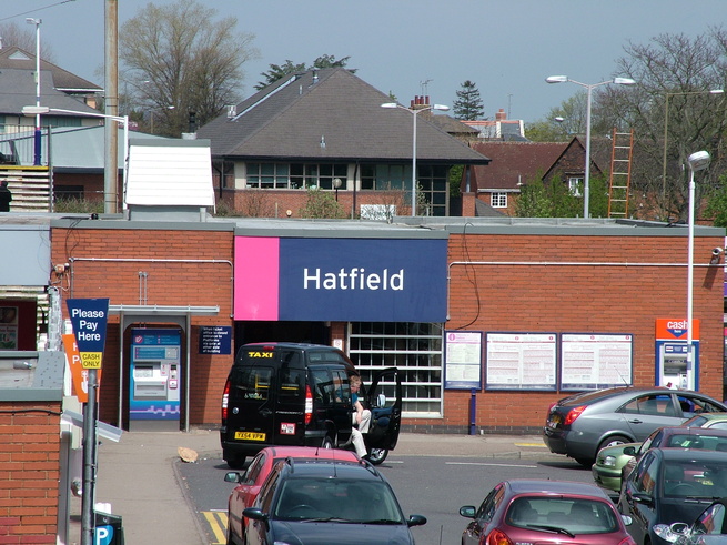
A closer view of the entrance to the station building:
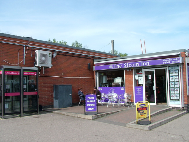
A small cafe next to the station building:
The rear of the station building, seen from the footbridge which links platform 1 to platforms 2 and 3. Construction was underway at the time of my visit:
On platform 1, looking north with the station entrance just visible on the right:
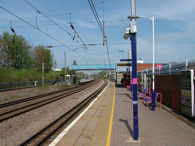
Looking south along platform 1, showing the footbridge which crosses the railway:
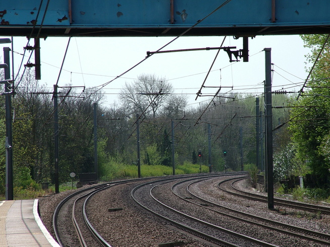
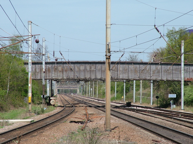
Looking south along the line under the footbridge:
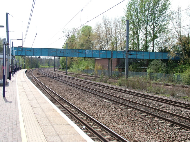
At the northern end of platform 1 is the footbridge which links it to the island platform:
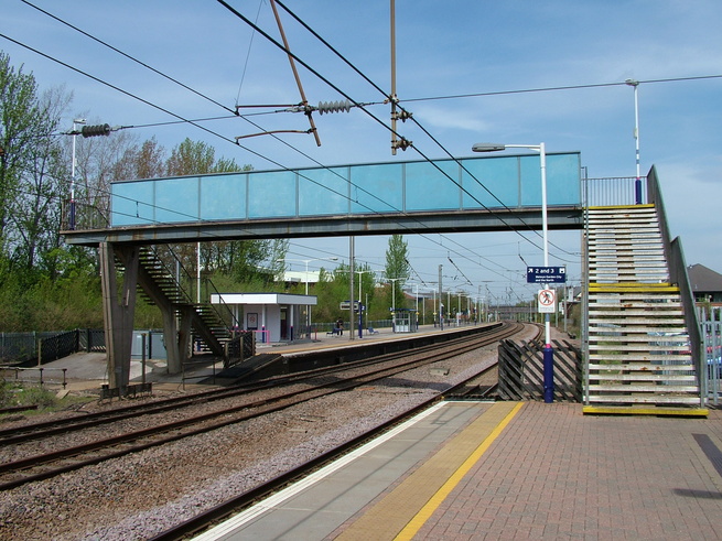
A view of platforms 2 and 3 from the footbridge:
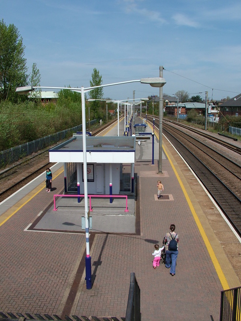
Looking down the steps at platforms 2 and 3:
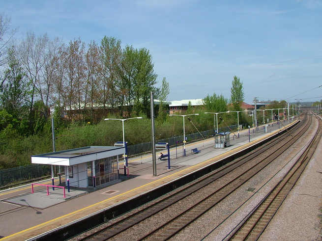
The northern end of platform 2:
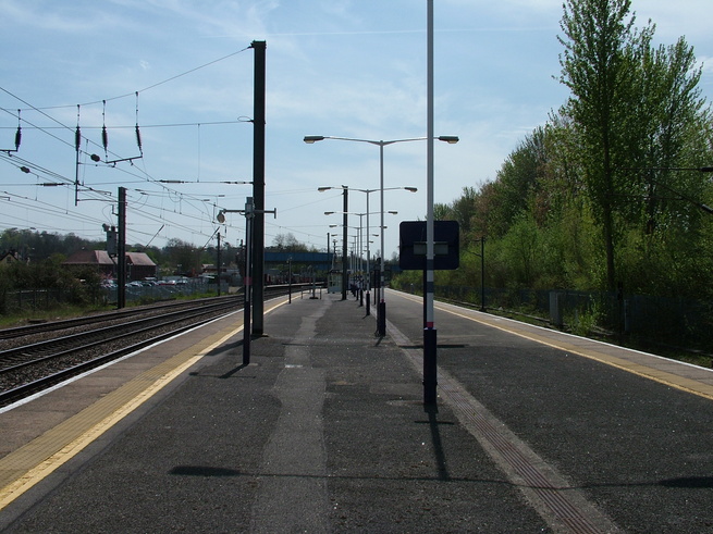
Looking south from the northern end of platform 2:
The southern end of platform 2:
All photographs are © Alexandra Lanes You may reproduce them anywhere for any purpose. Coastline maps are reproduced from Ordnance Survey map data by permission of the Ordnance Survey © Crown copyright 2001