


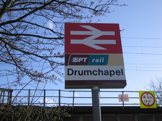
Drumchapel
| CRS Code | DMC |
| Collected date | 13/04/06 |
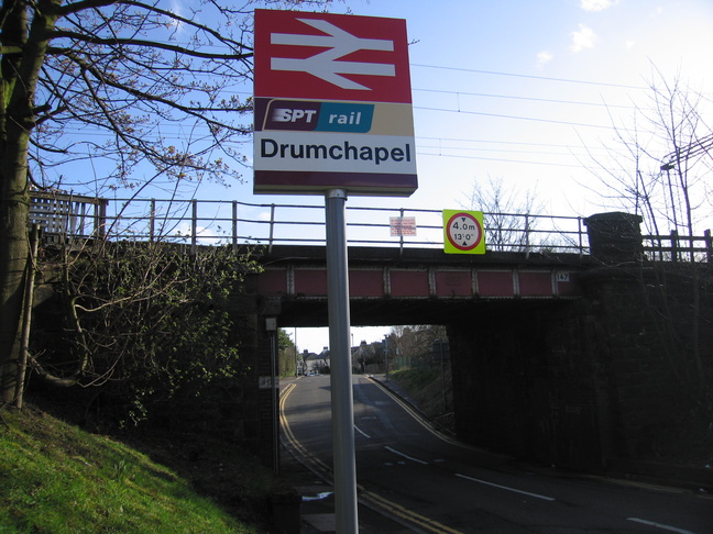
Drumchapel station lies on the line between Drumry and Westerton. The sign is by a bridge which carries the line over the road to the west of the station:
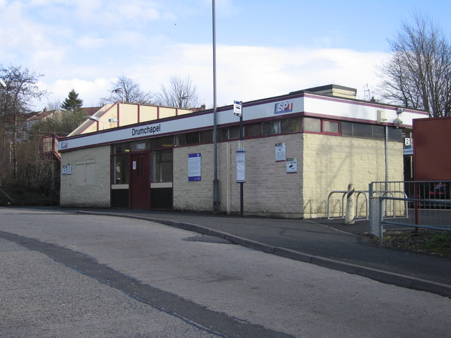
Like many SPT stations the station building isn't much to look at:
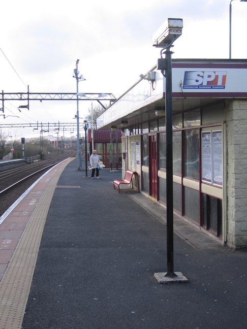
The station building faces onto platform 1, here looking west:
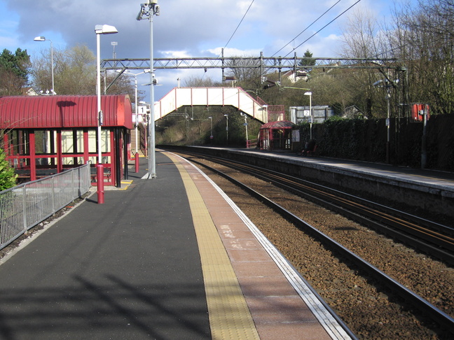
Looking east at the platforms from the end of platform 1:
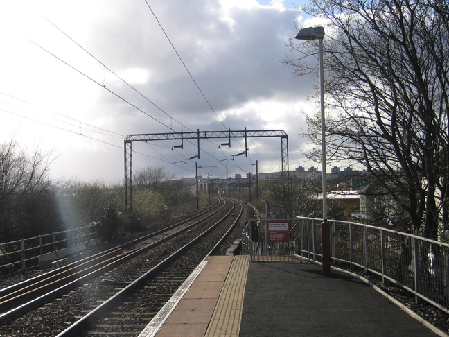
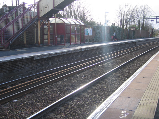
Looking west along the line from the end of platform 1:
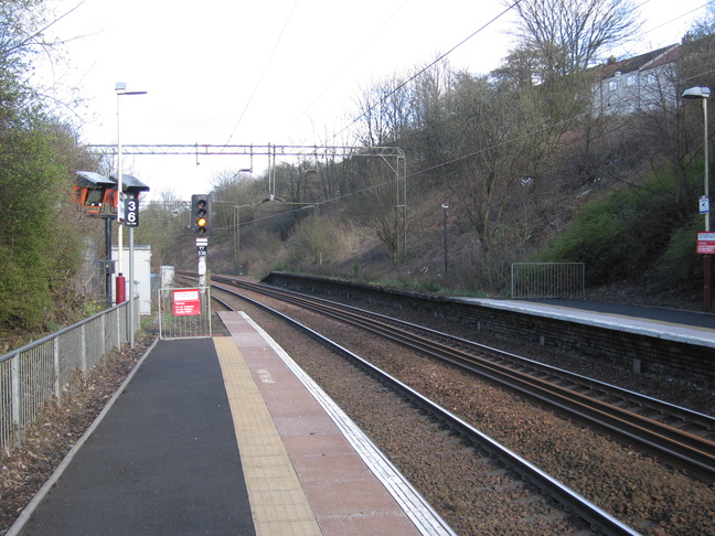
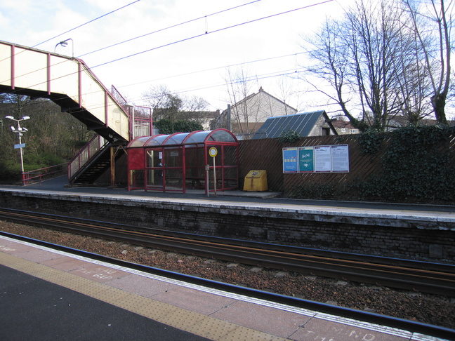
At the other end of platform 1, looking east. A disused stretch of platform 2 continues for some way beyond its current end:
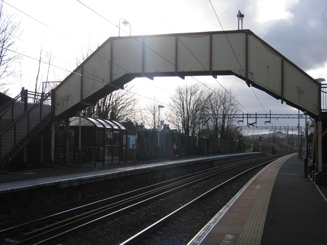
A footbridge crosses the tracks:
Platform 2 just has a modest shelter:
A westwards view of platform 2 from platform 1:
All photographs are © Alexandra Lanes You may reproduce them anywhere for any purpose. Coastline maps are reproduced from Ordnance Survey map data by permission of the Ordnance Survey © Crown copyright 2001