
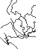
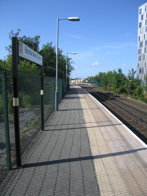
Bootle New Strand
| CRS Code | BNW |
| Collected date | 01/07/13 |
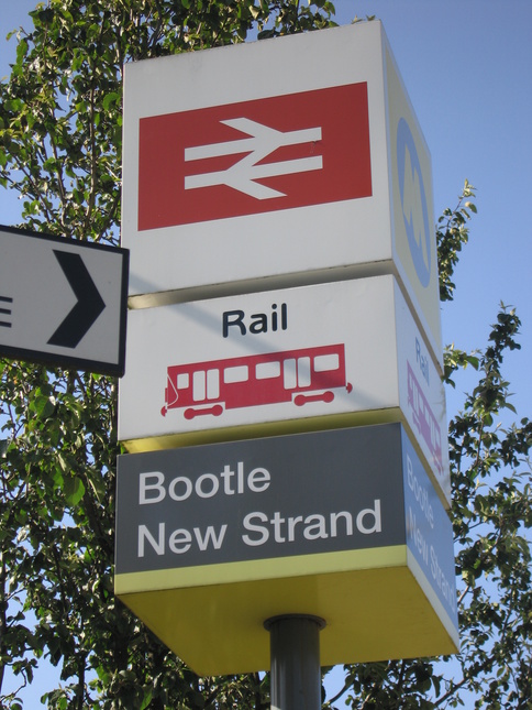
Bootle New Strand is (along with Bootle Oriel Road) one of the stations serving Bootle, and is particularly close to the New Strand shopping centre.
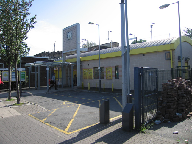
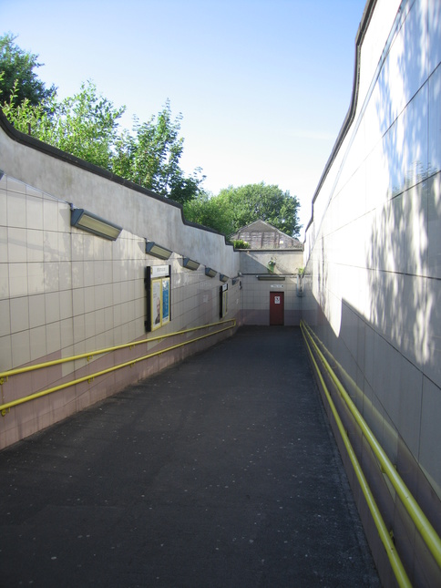
To the rear of the station building is a ramp and steps that lead to the elevated subway under the track:
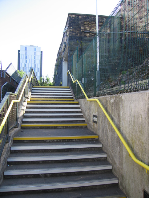
The rear of the station building from the top of the steps:
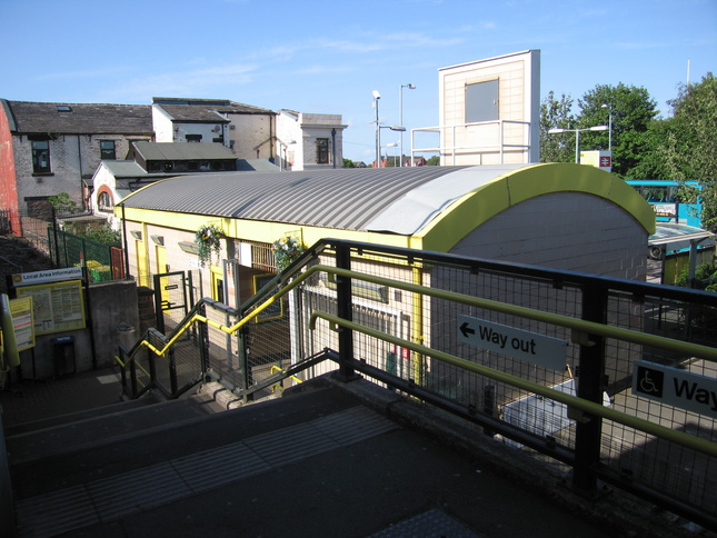
At the top of the steps looking down the ramp to ground level and up the ramp to platform level:
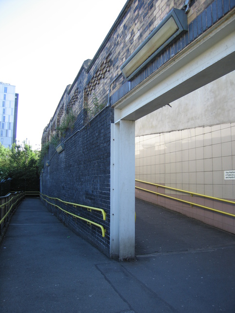
To the right of the previous photo, the subway which leads under the tracks to give access to platform 2:
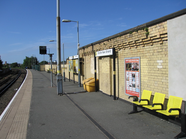
On the station building side of the tracks is platform 1. Looking north along platform 1:
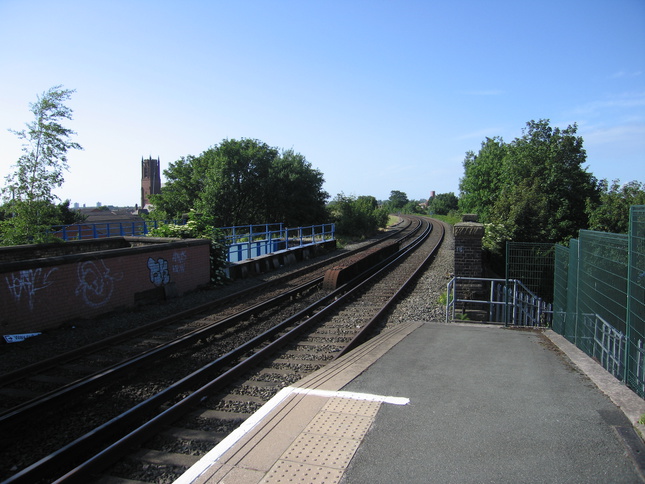
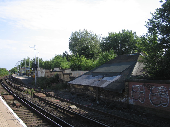
From the end of platform 1, looking north along the line:
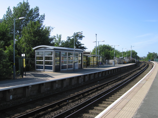
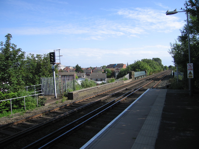
Looking south from the end of platform 1:
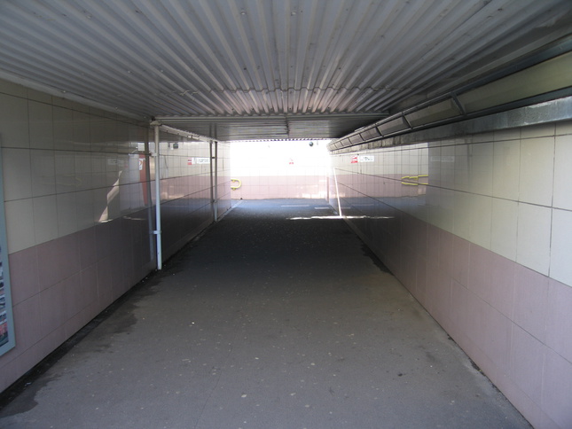
Crossing the line under the subway we come up this ramp to platform 2:
Platform 2 seen from platform 1, showing the sides of the ramp:
Platform 2:
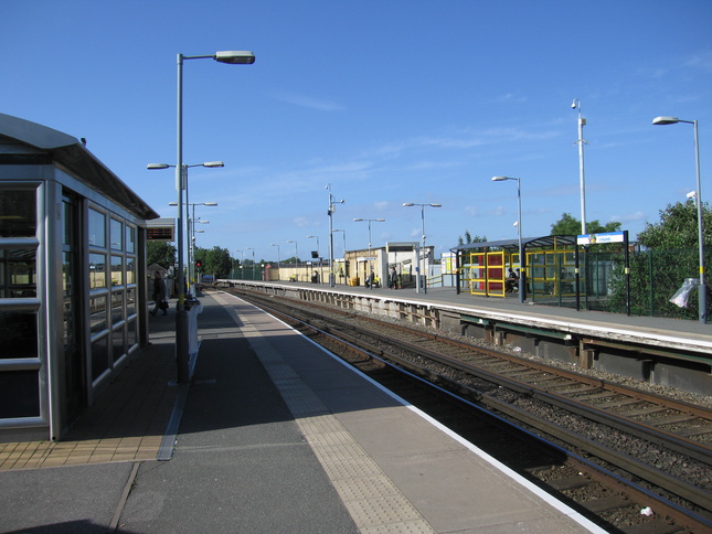
On platform 2, looking north at both platforms:
At the far end of platform 2, looking north back at platform 1:
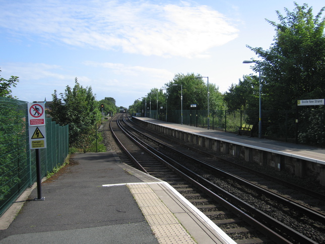
Looking south from the end of platform 2:
All photographs are © Alexandra Lanes You may reproduce them anywhere for any purpose. Coastline maps are reproduced from Ordnance Survey map data by permission of the Ordnance Survey © Crown copyright 2001