
Bere Ferrers
| CRS Code | BFE |
| Collected date | 27/05/05 |
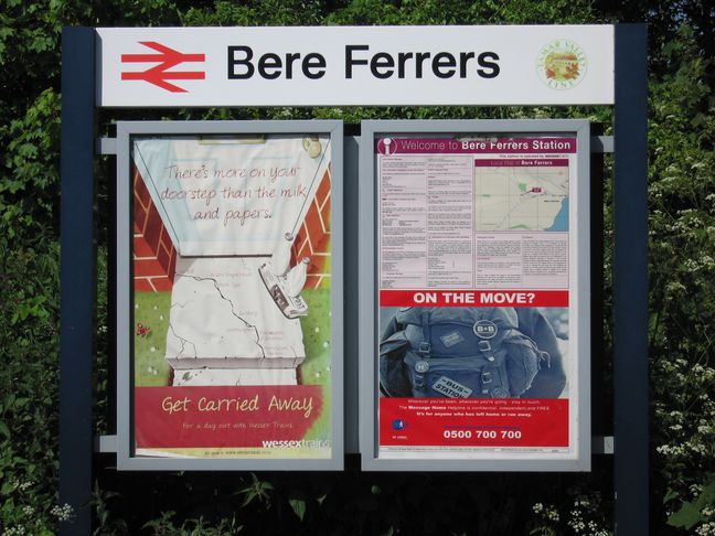
Bere Ferrers was the final station in Cornwall to be visited, and we arrived there on a hot afternoon after walking from Bere Alston. The station is at the top of the town, seen here from the approach road:
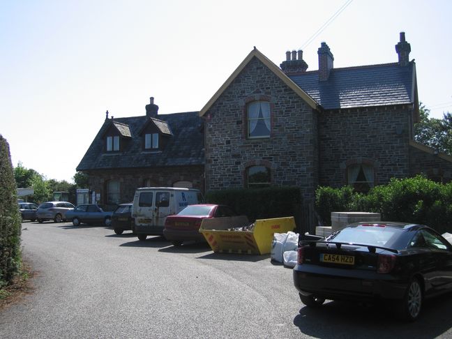
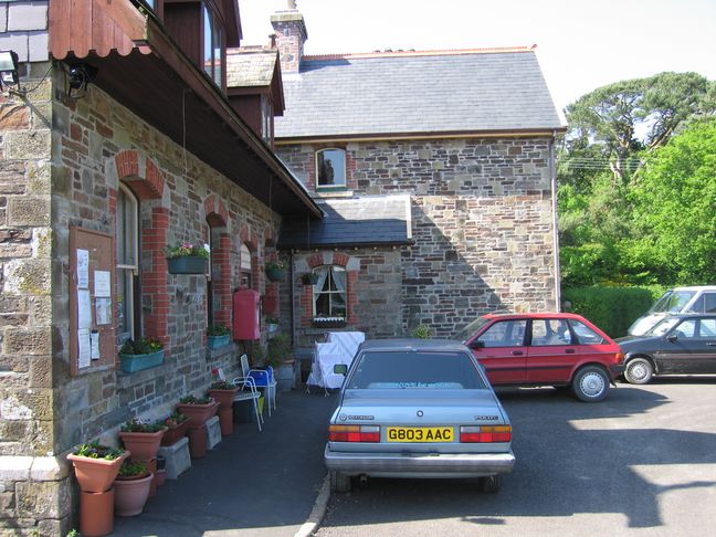
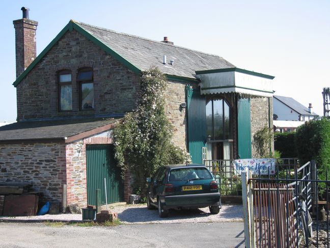
A closer view of the station building and house, which now form part of the Tamar Belle Holidays and Visitor Centre:
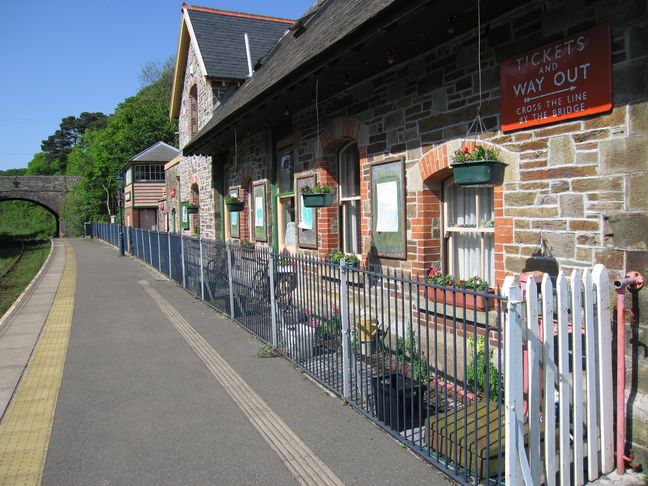
The front of the station building, looking north:
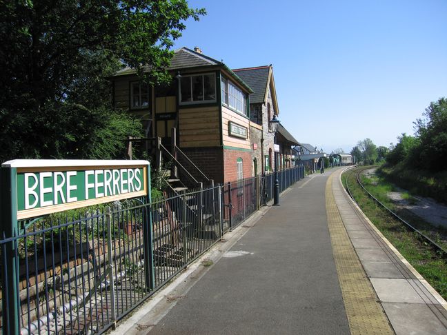
From the north end of the station platform, looking south. The signal box (no longer used by the railway) bears an older spelling of the station name, Beer Ferris:
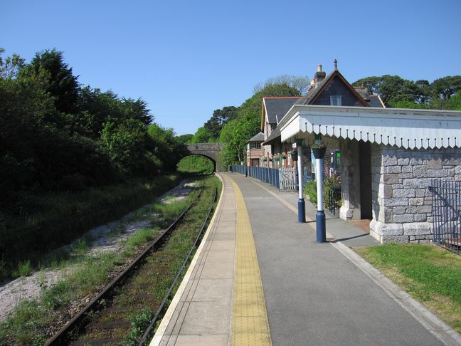
Looking north along the platform at the shelter and station building:
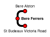
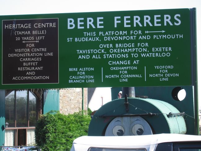
The station area is host to a railway heritage centre, all of which was closed when we visited. This sign shows where once you could have gone from here:
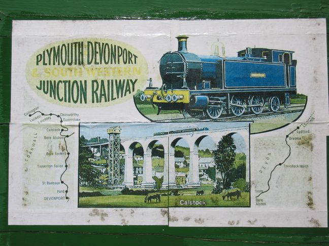
A map in the station window:
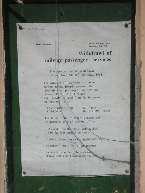
Sadly 1968 saw the end to all those journey opportunities:
What looks like an old goods shed is now a house:
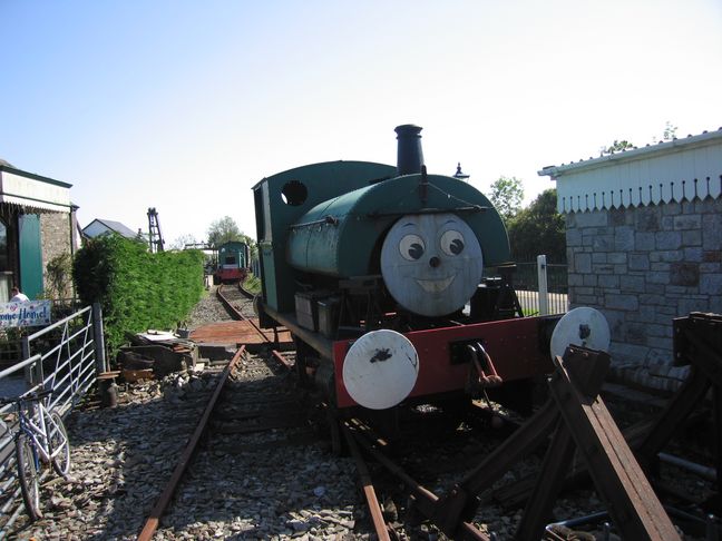
Just behind the station platform is this short demonstration line:
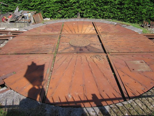
...incorporating this wagon turntable:
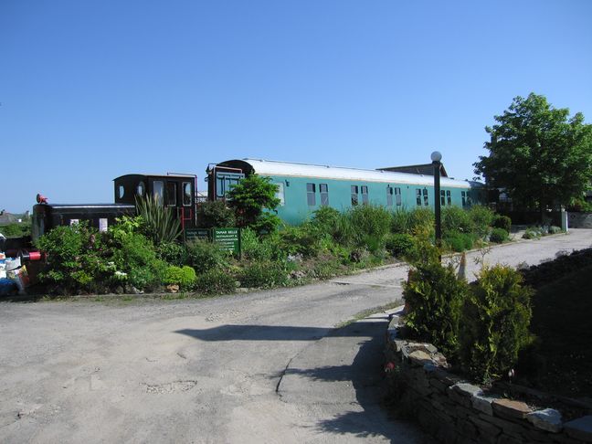
The Tamar Belle dining coach sits at the end of a siding. Further along to the right (south) are ex-LNER carriages fitted out to provide holiday accommodation:
All photographs are © Alexandra Lanes You may reproduce them anywhere for any purpose. Coastline maps are reproduced from Ordnance Survey map data by permission of the Ordnance Survey © Crown copyright 2001