
Rochdale
| CRS Code | RCD |
| Collected date | 13/09/16 |
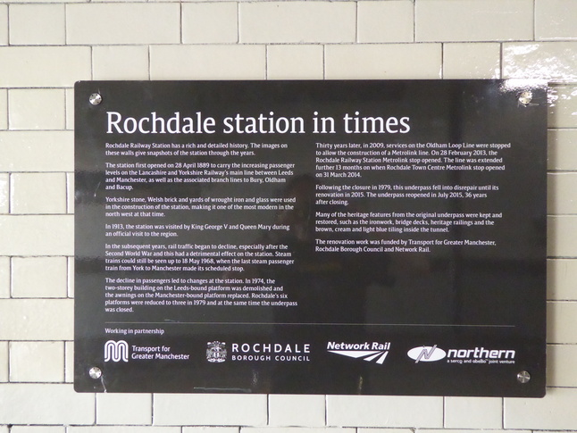
Rochdale has had a station here for a long time (since 1889) but it was curtailed a lot over the years with platforms and entrances closed. Recent renovation has recovered some of the original station features, though, and when we visited an extra platform was being constructed.
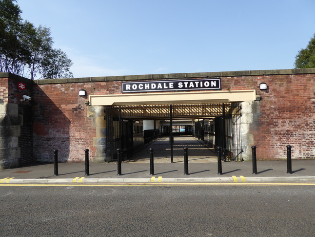
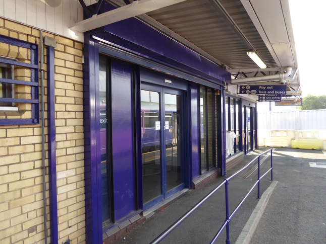
The station is to the south of Rochdale town centre. The north-facing entrance to the station:
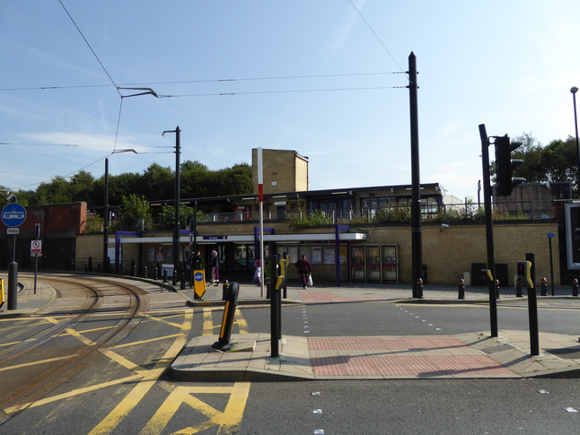
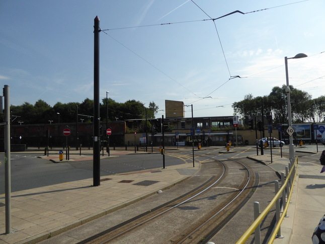
Manchester's Metrolink service leaves the railway alignment in front of the station:
The tram stop is a little way away from the station frontage:
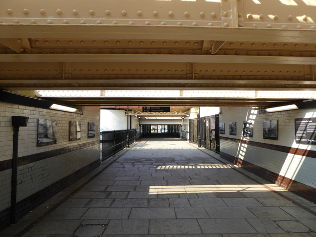
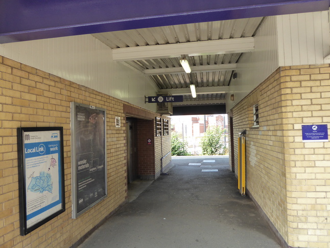
The station entrance leads into a subway:
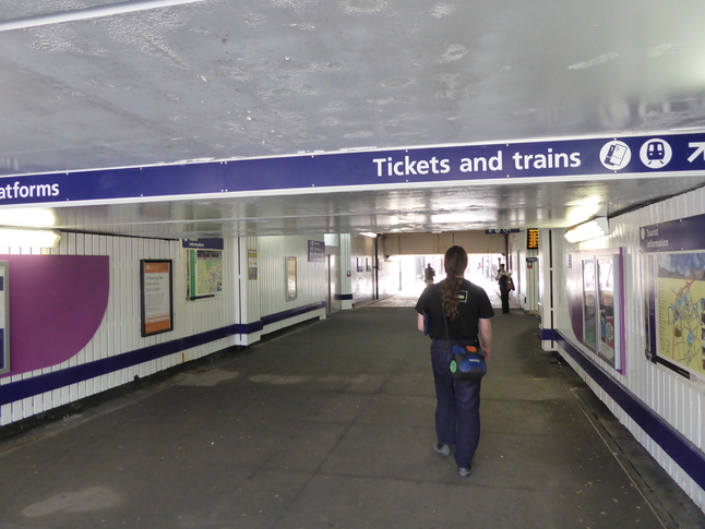
Only the northern end of the subway is in active railway use, and a lift and stairs connect up to the operational platforms here:
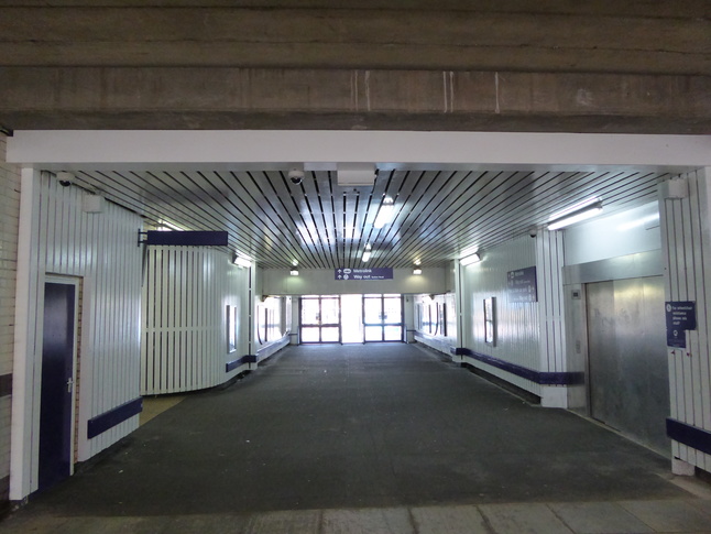
Walking through to the other end of the subway we find a second entrance to the station area from Miall Street:
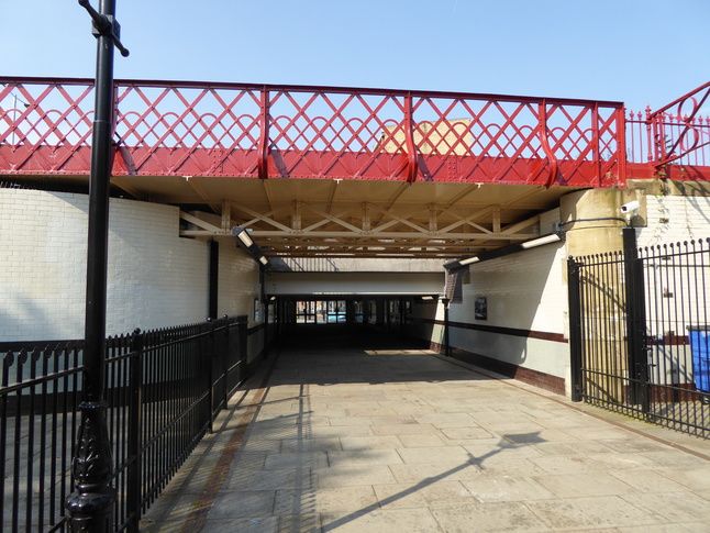
The southern end of the subway goes under a disused section of trackbed:
Beyond the stretch of disused track is an open area. Looking west:
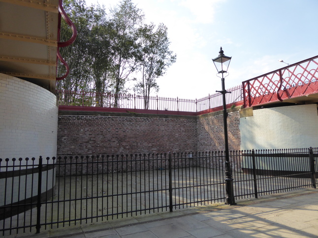
Opposite this is the stepped entrance to the now disused island platform area:
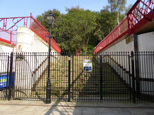
Loking north from this point we see a second set of disused trackbeds:
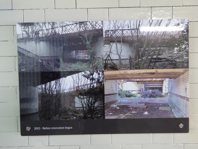
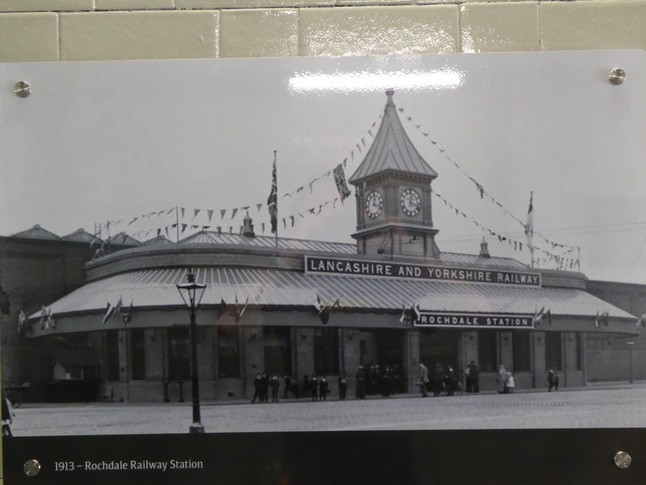
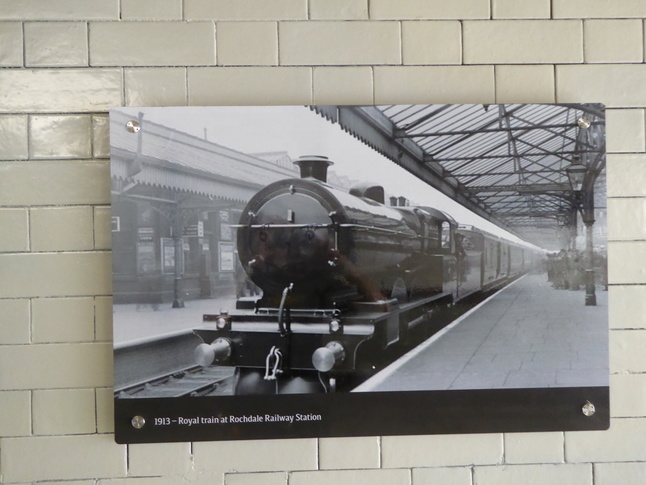
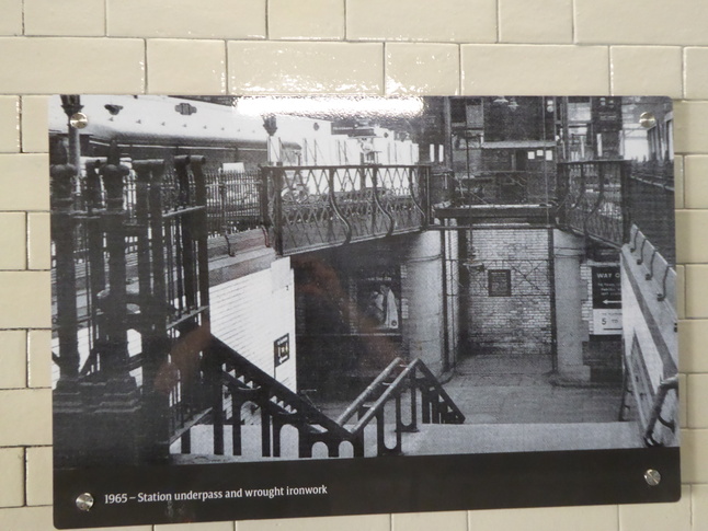
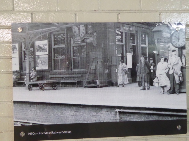
In the subway on the tiles are a number of posters with pictures of the station in earlier times:
Back to the modern station, we look up the steps which lead up to the concourse:
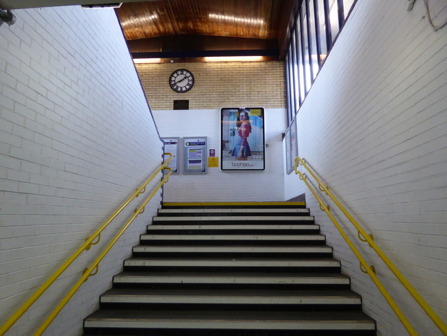
The steps have a large stairwell above them which lets in light:
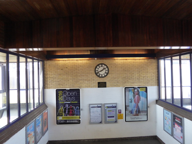
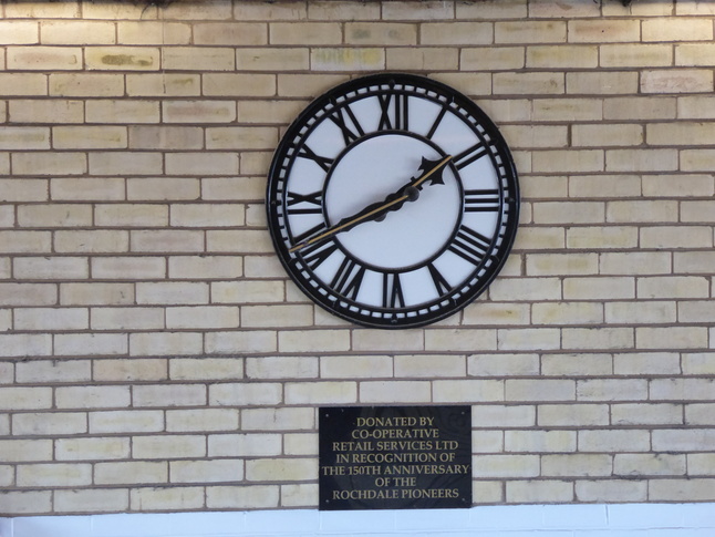
The clock was donated by the Co-Op in recognition of the 150th anniversary of the Rochdale Pioneers:
Looking up at the concourse from the steps:
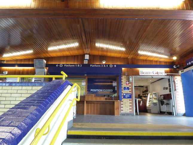
Inside the concourse:
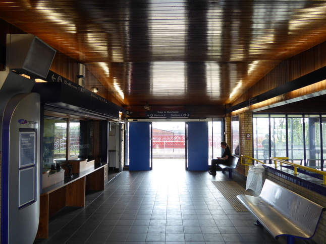
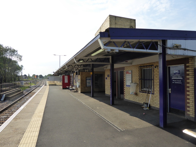
Ahead of us from here is platform 3:
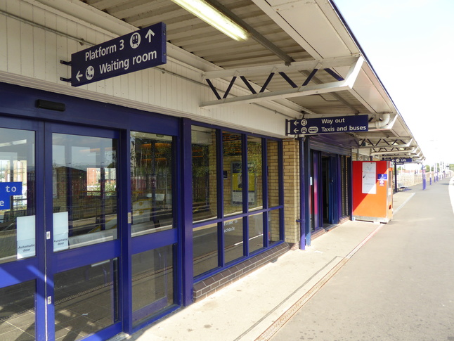
Looking east along platform 3:
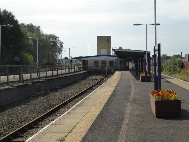
A view west at the station building:
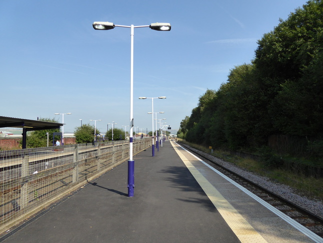
Looking west at platform 3:
A barrier blocks off the very end of platform 3, as platform 4 is almost in service. Peeking beyond the barrier we can see it:
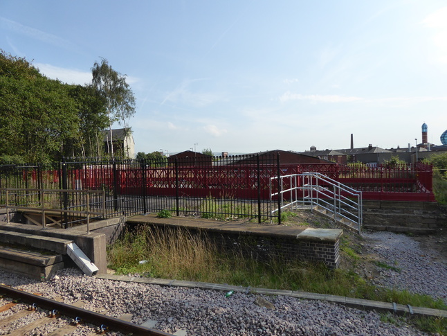
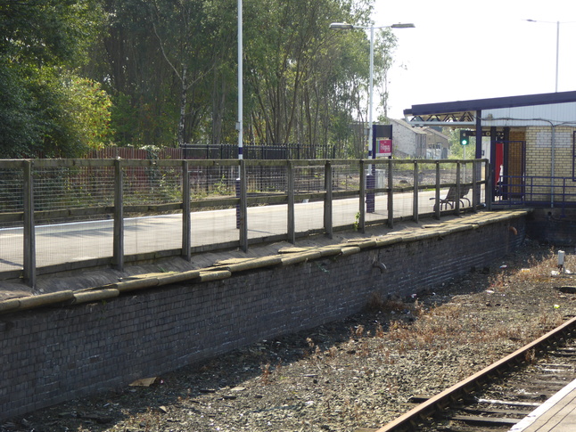
From platform 3 we can also look south at the ironwork above the subway and a short section of disused platform edge:
A passage leads through the station building to connect both sides of the island platform with each other and with the lift:
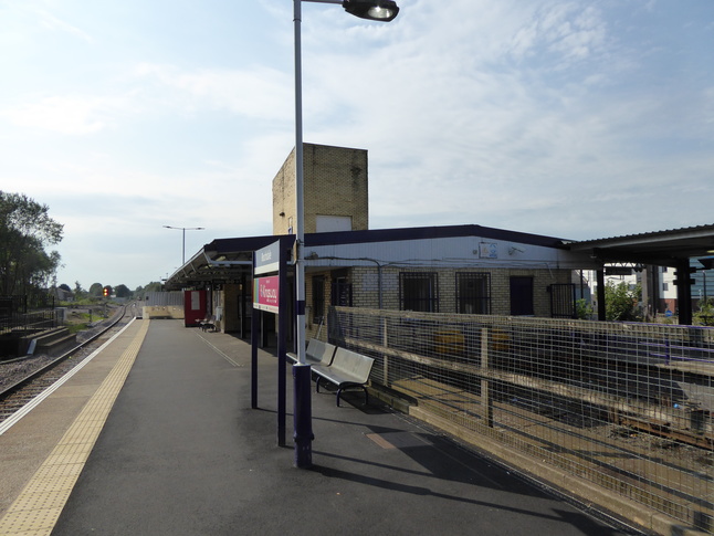
On the opposite side of the station building from platform 3 is platform 1. Looking west next to the station building towards the barriers which block the passage to the new platform 4:
Further down the platform looking west:
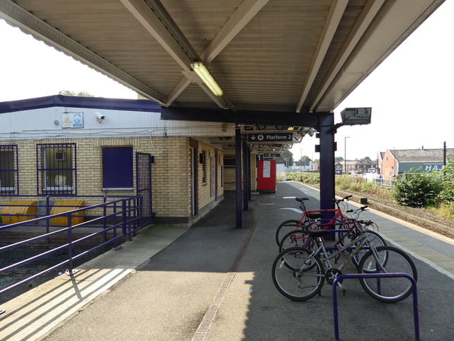
Just to the east of the station building is the bay platform 2:
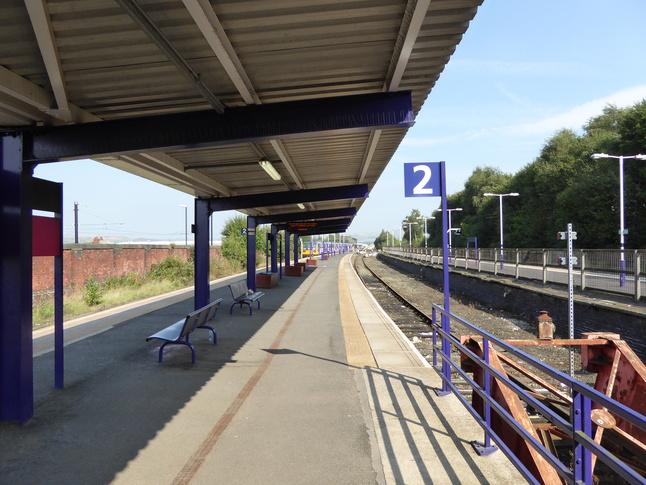
Looking west along platform 2 towards the buffers:
The bay once clearly held another track and its platform edge is still present if rather dilapidated:
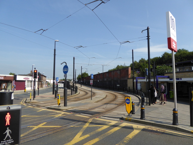
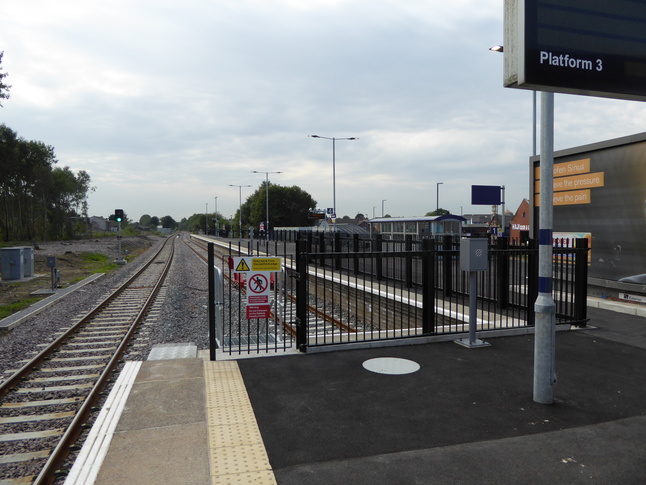
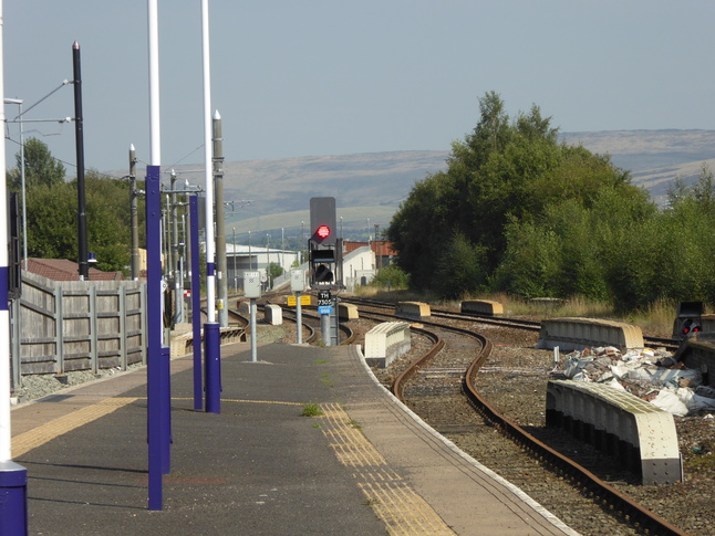
Looking east along the line from the end of platform 2, and we can just see where the tram track joins the railway alignment on the left:
All photographs are © Alexandra Lanes You may reproduce them anywhere for any purpose. Coastline maps are reproduced from Ordnance Survey map data by permission of the Ordnance Survey © Crown copyright 2001