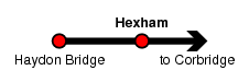
Hexham
| CRS Code | HEX |
| Collected date | 15/09/15 |
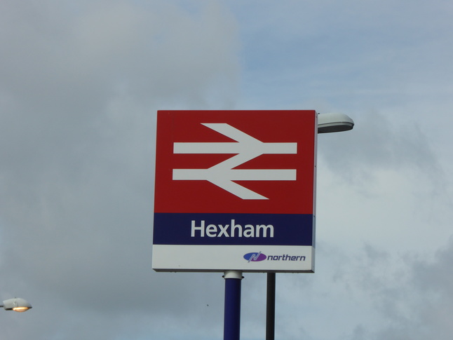
Hexham station marks the midpoint of the Hadrian's Wall Country line between Carlisle and Newcastle. It's only two platforms, but they both have canopies and waiting rooms and the station is staffed.
The front of the station is on the south side of the line:
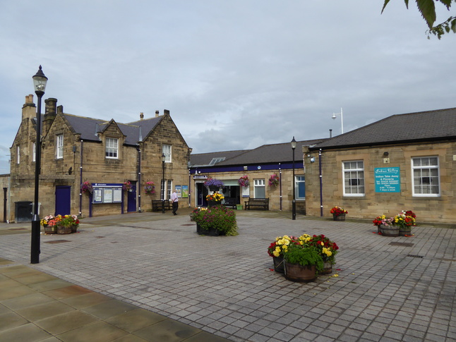
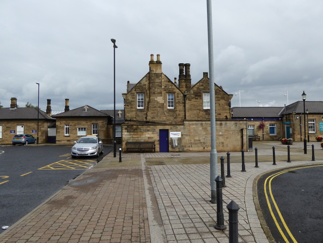
A longer view of the south side of the station site, with the public square and entrance on the right:
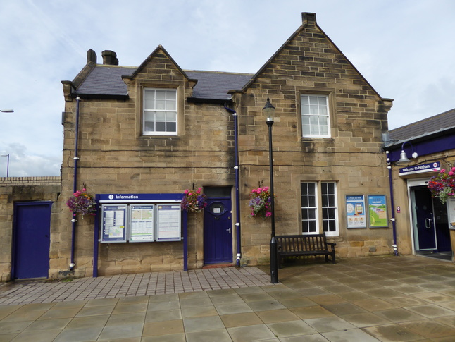
The station house building to the left of the entrance:
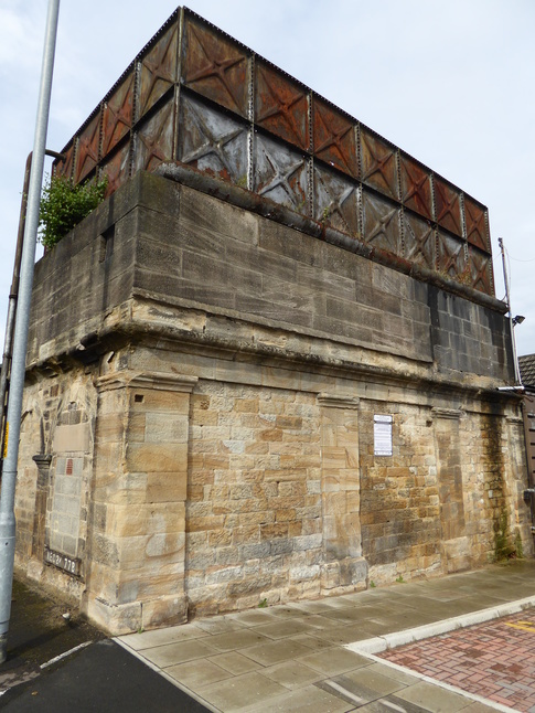
East of the square in front of the station was the old goods yard, various of whose buildings have been demolished or reused for a retail park. There's this water tower:
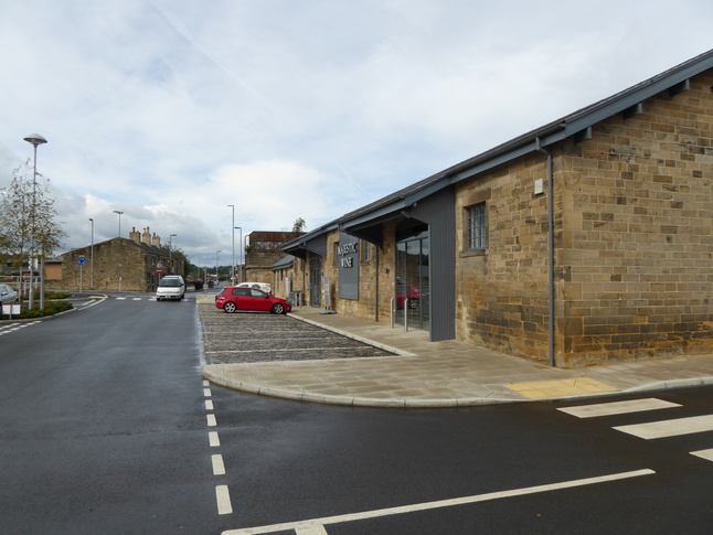
Looking west towards the water tower and station from the retail park. The building on the right either is, or is mimicking, an old railway building:
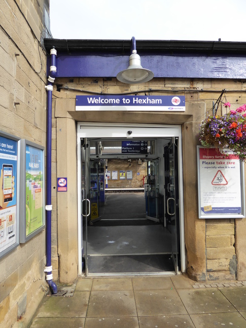
Anyway, we should walk back to the station proper. Here's its entrance:
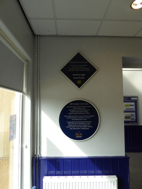
The entrance leads into a small corridor which leads to platform 2. Off this corridor is a small ticket office, with these plaques:
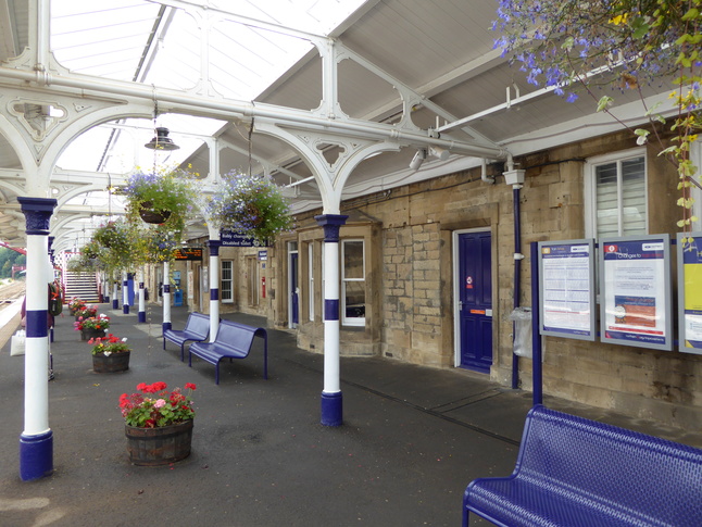
On platform 2, looking through a haze of hanging baskets at the rear of the station building. (The entrance to the platform is next to the footbridge in the distance.)
From the steps of the footbridge looking west along platform 2:
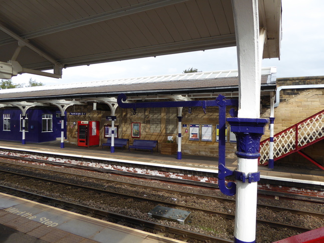
To the right of the previous shot this bracket can be seen:
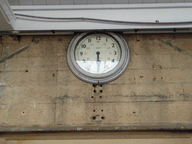
Above one of the doorways is this (wrong) BR clock:
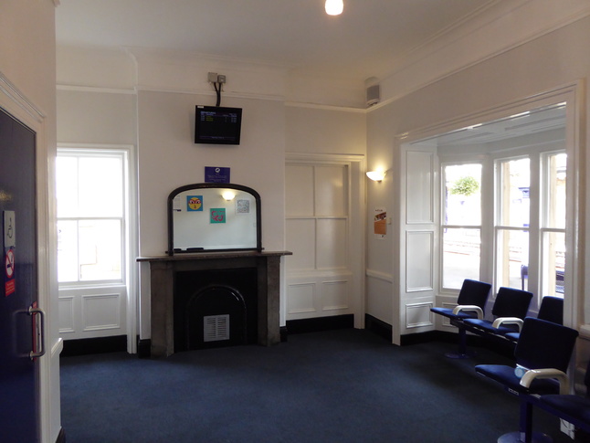
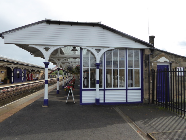
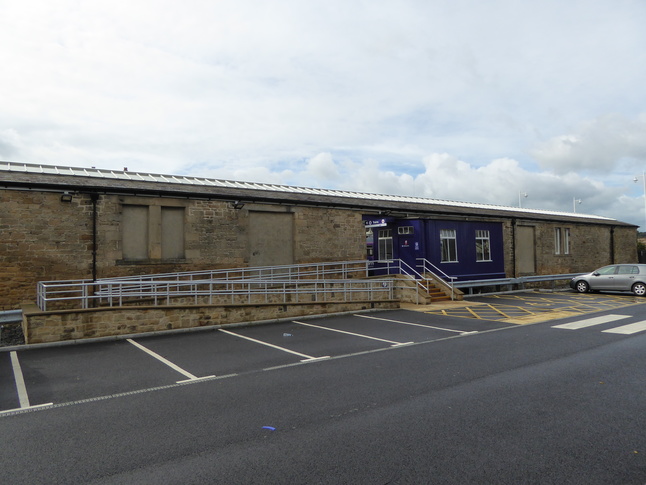
The station building houses a taxi office, a cafe, train servicing offices, and most importantly this remarkably luxurious waiting room:
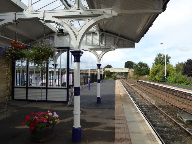
Looking west along the edge of platform 2:
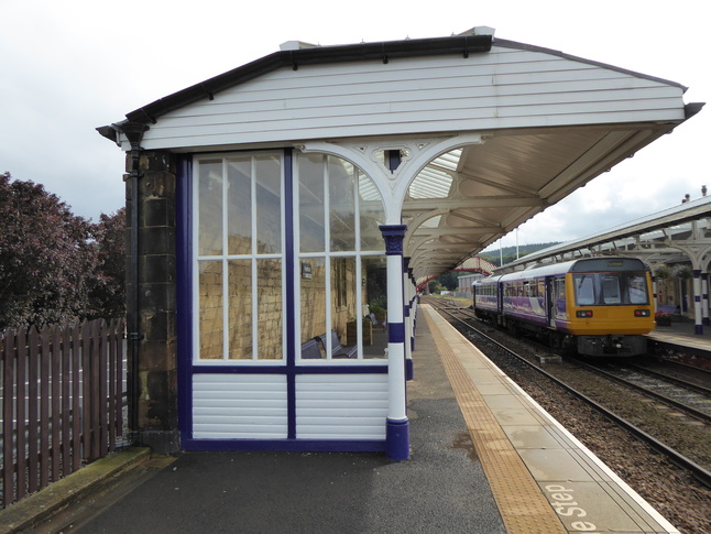
A glass screen marks the end of the canopy on platform 2:
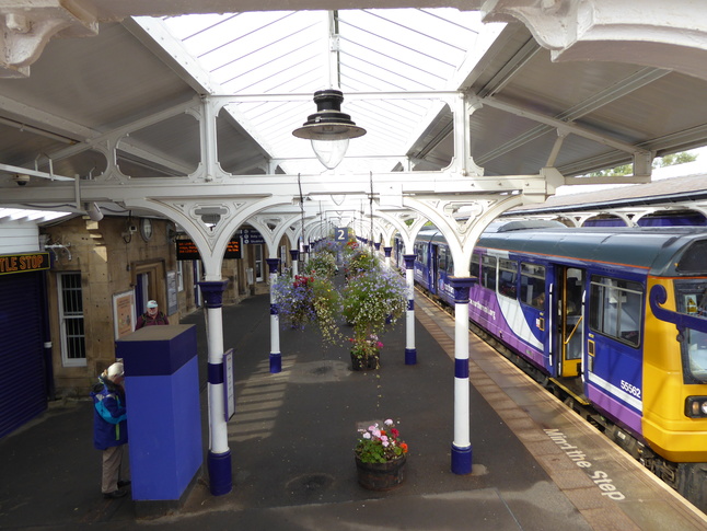
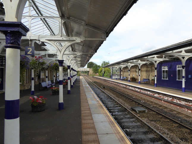
Looking east at platform 2:
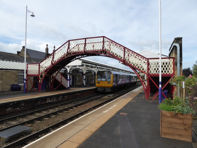
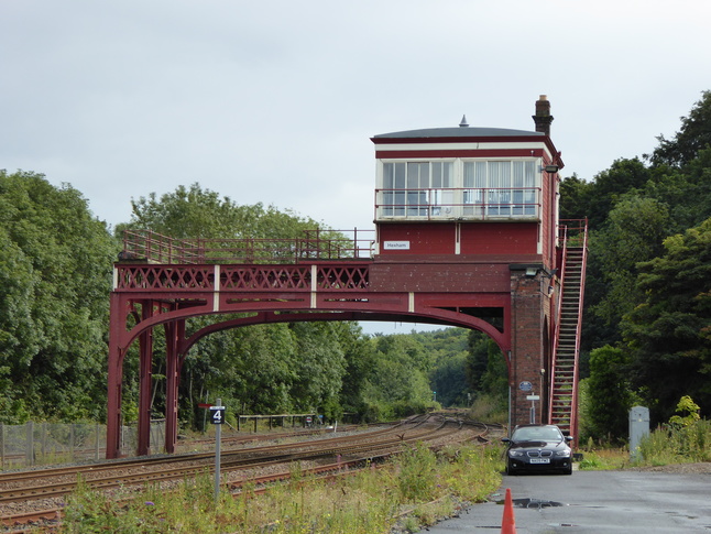
The two sides of the station are connected by this footbridge, seen here from the opposite platform, platform 1:
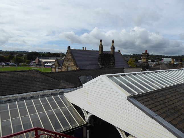
From the steps of the footbridge looking south over the roof of the station building:
From the footbridge, looking east at several sidings and a barrow crossing allowing level access between the two platforms:
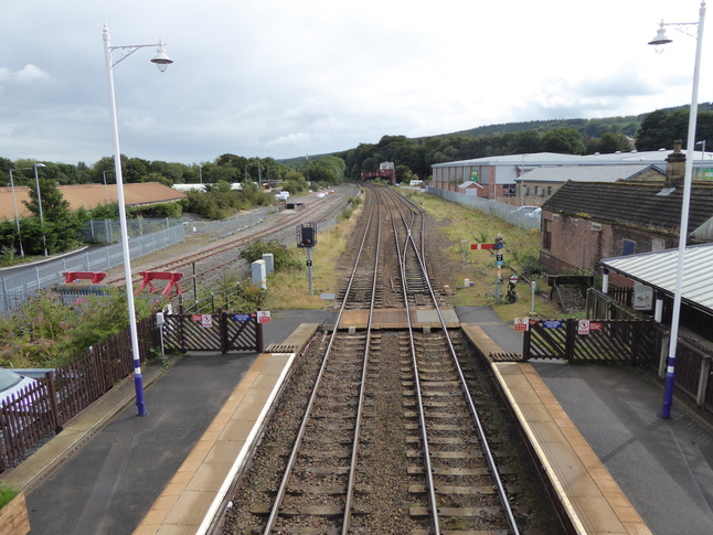
Looking west from the footbridge:
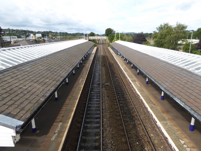
Crossing the footbridge we reach platform 1. Looking east at the canopy on platform 1:
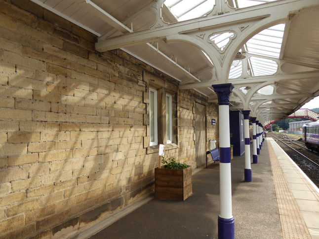
Under the canopy on platform 1:
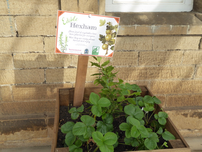
An "Edible Hexham" planter offers free fruit and veg to anyone that passes... once it's ready, anyway:
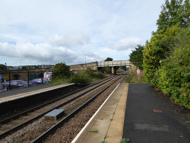
Looking west along the line from the end of platform 1:
Looking east from the other end of the platform:
A hole has been punched in the wall that backs platform 1 to provide a ramped entrance to this side of the station too:
The rear of platform 1, showing its car park and the footbridge:
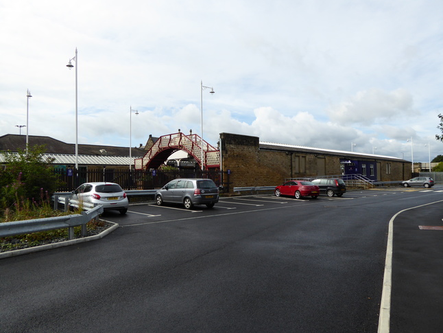
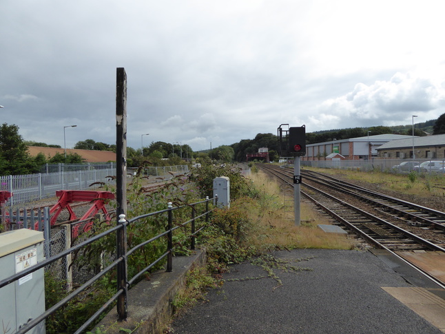
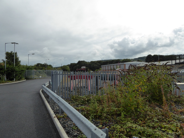
From the car park looking east at some sidings, with the signalbox in the distance:
It's a bit of a walk, but I got closer to the signalbox:
At the other end of the station a bridge crosses the line, with arches under it used for various things:
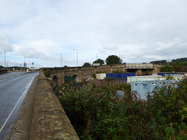
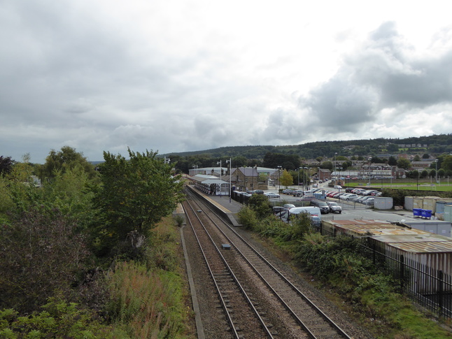
From the road bridge looking east towards the station site:
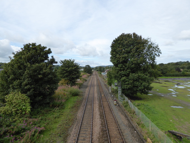
Looking west along the line from the road bridge:
All photographs are © Alexandra Lanes You may reproduce them anywhere for any purpose. Coastline maps are reproduced from Ordnance Survey map data by permission of the Ordnance Survey © Crown copyright 2001