) {
print SP;
}
} else {
print SP "Pictures and Text to come...
";
if ($stations{$station}{status} eq "f") {
print SP "A friend sent me pictures of this station but they've not yet made their way here. Sorry!
";
} else {
print SP "I've visited this station and taken pictures of it, but they've not yet made their way here. Sorry!
";
}
}
print SP <
All photographs are © Alexandra Lanes You may reproduce them anywhere
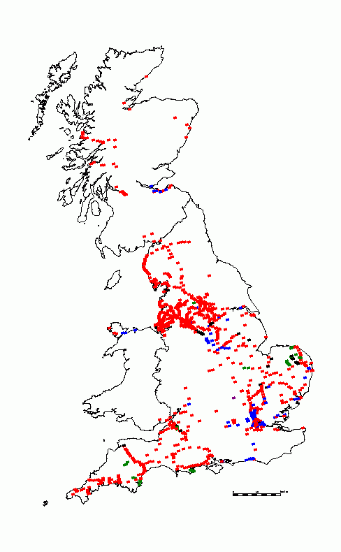
for any purpose. Coastline maps are reproduced from Ordnance Survey
map data by permission of the Ordnance Survey © Crown copyright
2001